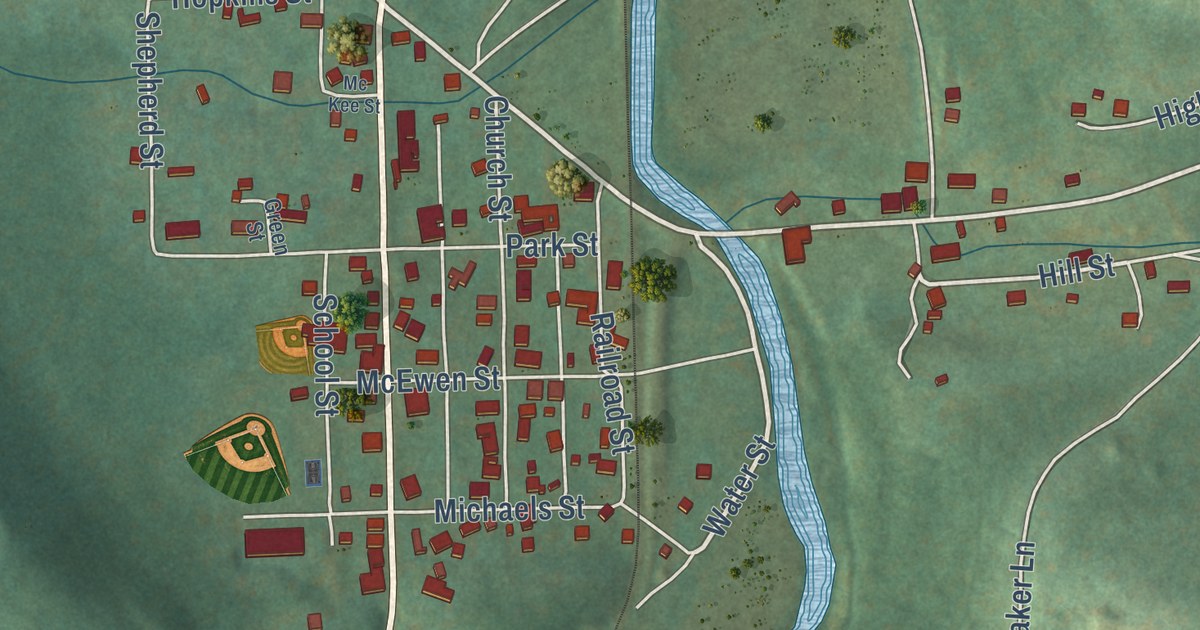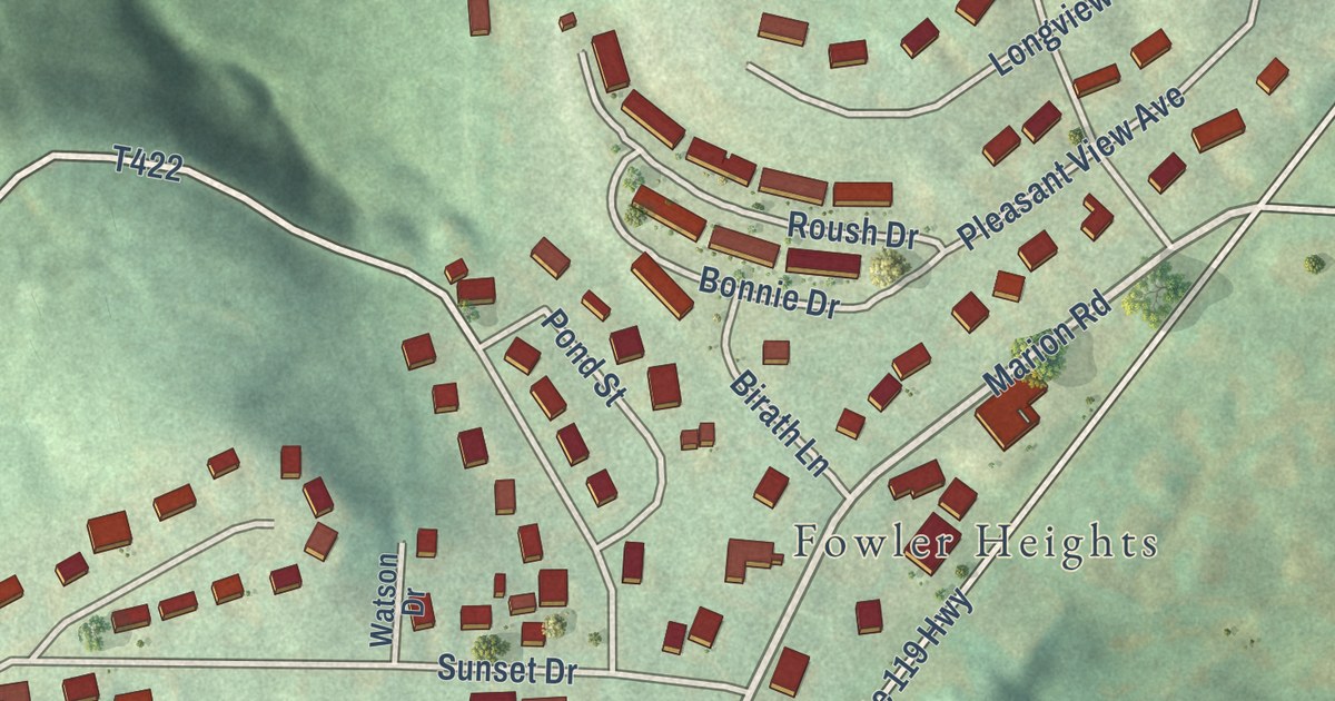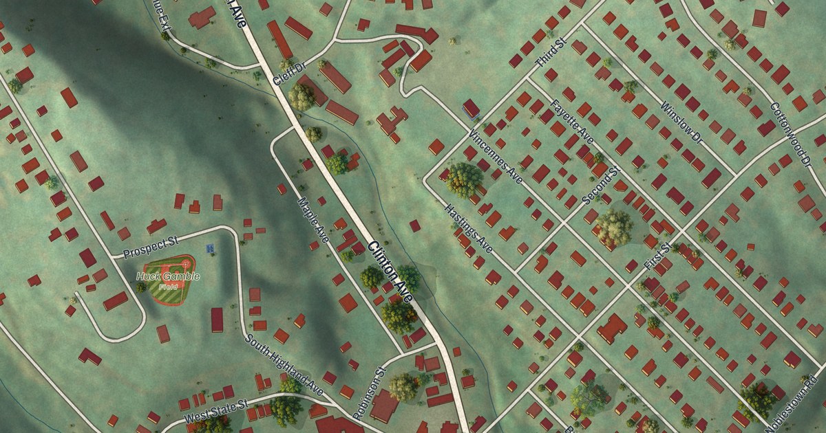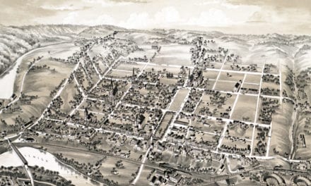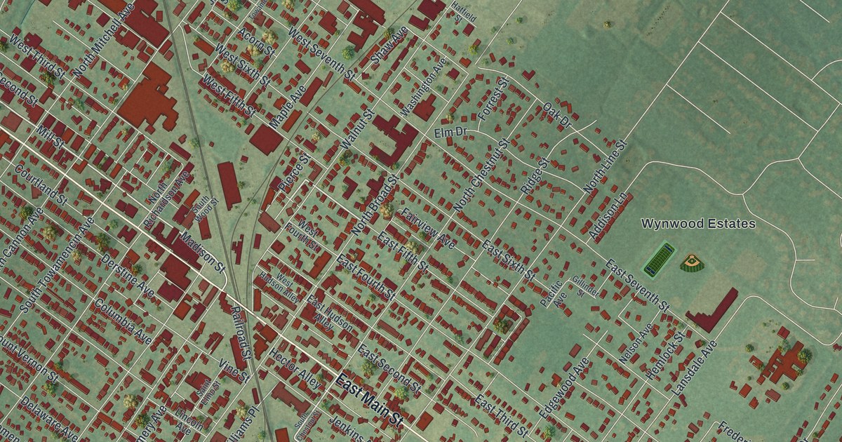
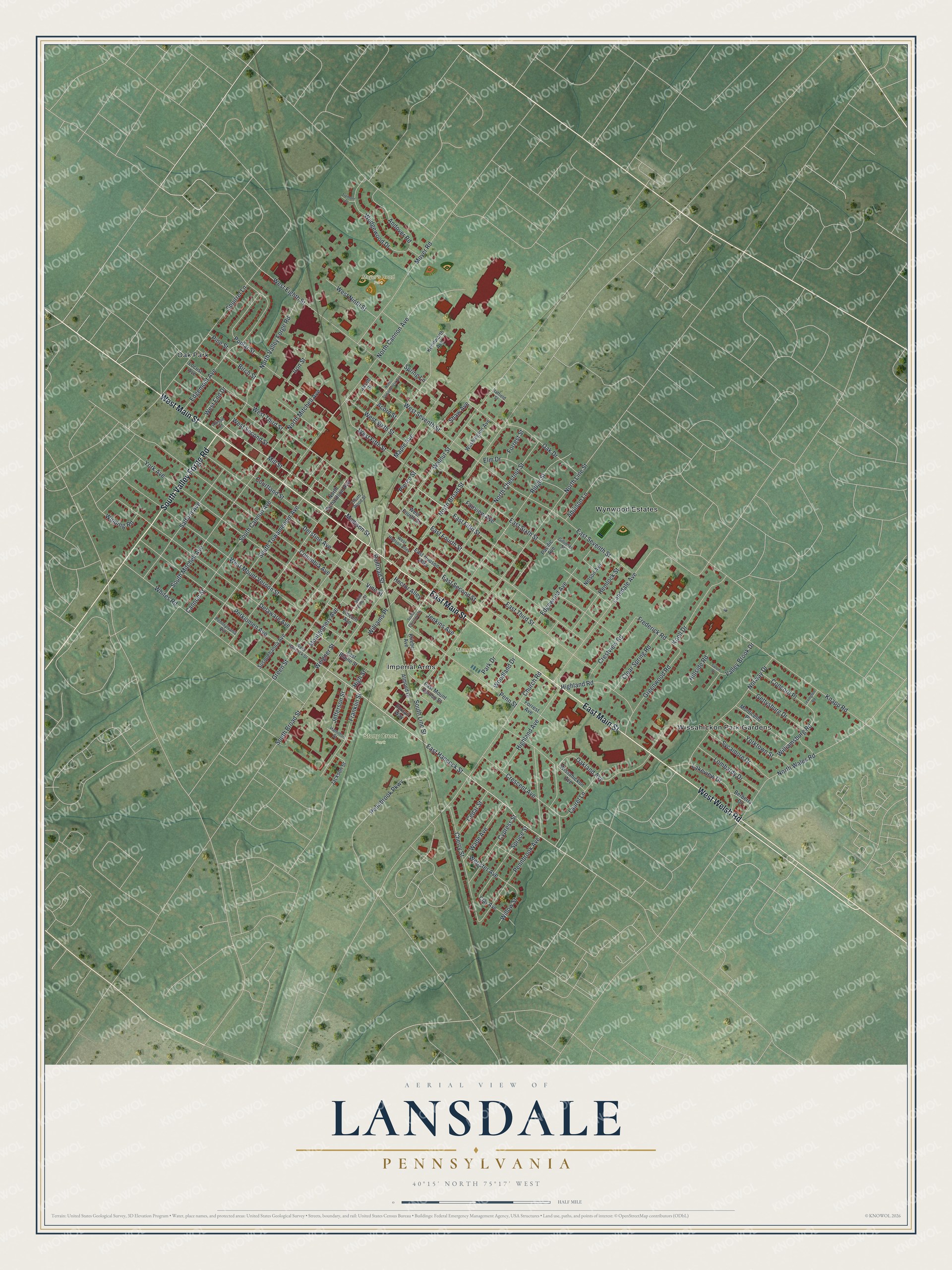
This beautifully detailed map of Lansdale, Pennsylvania was created in 2026 using aerial imagery combined with modern topographical, census, street and landmark data. It’s a one-of-a-kind view of Lansdale that combines accurate data with a vintage aesthetic. The map shows every building in its true location, many of the roads carry their names, and the shaded topographic relief shows the shape of the land.
Explore an aerial view of Lansdale, Pennsylvania
On the map you’ll find Stony Creek Park, Memorial Park, Moyer’s Road Park, Imperial Arms, Oak Park, Wissahickon Park Gardens, and Wynwood Estates, along with East Main Street, West Main Street, South Valley Forge Road, West Welsh Road, East Hancock Street, and more. If you look closely you can even find your house accurately drawn in its correct location. Zoom in on the preview to look for yours.
Did you know this piece of Lansdale, Pennsylvania history?
From the History of Montgomery County: "The borough of Lansdale was incorporated August 24, 1872, and is situated on the line of the townships of Gwynedd and Hatfield, and close to the angles of Montgomery and Towamencin."
Take a closer look at the Lansdale map
Street and place names on the Lansdale, Pennsylvania map
These names are printed on the map of Lansdale, Pennsylvania.
Places: Stony Creek Park, Memorial Park, Moyer's Road Park, Imperial Arms, Oak Park, Wissahickon Park Gardens and Wynwood Estates.
Streets and roads: East Main Street, West Main Street, South Valley Forge Road, West Welsh Road, East Hancock Street, West Fifth Street, Mill Street, North Cannon Avenue, West Mount Vernon Street, Knapp Road, West Eighth Street, Lansdale Avenue.
More street names, A to Z
Acorn Street, Addison Lane, Allison Court, Almond Drive, Andover Road, Berberry Drive, Birch Street, Cannon Street, Cedar Street, Cherry Street, Church Road, Clay Avenue, Clear Spring Road, Columbia Avenue, Concord Place, Courtland Street, Crescent Avenue, Crestview Road, Cypress Street, Delaware Avenue, Derstine Avenue, East Blaine Street, East Fifth Street, East Fourth Street, East Hudson Alley, East Mount Vernon Street, East Second Street, East Seventh Street, East Sixth Street, East Third Street, Edgemont Avenue, Edgewood Avenue, Elm Drive, Fairview Avenue, Forrest Avenue, Forrest Street, Foxtail Way, Franklin Street, Frederick Road, Gettysburg Drive, Gillinder Street, Green Street, Greenwood Road, Hamilton Street, Hatfield Street, Hector Alley, Hemlock Street, Highland Avenue, Highland Road, High Street, Hillside Road, Iron Street, Jackson Street, Jacob Street, Jefferson Street, Jenkins Avenue, Kenilworth Avenue, Knoll Drive, Kriebel Avenue, Lakeview Drive, Laurel Lane, Lexington Road, Lincoln Avenue, Locust Avenue, Lombardy Drive, Madison Street, Maple Avenue, Montgomery Avenue, Monticello Place, Moyer Road, Nelson Avenue, North Broad Street, North Chestnut Street, North Line Street, North Mitchell Avenue, North Richardson Avenue, North Towamencin Avenue, North Valley Forge Road, North Wales Road, Norway Drive, Oak Drive, Oakland Avenue, Pacific Avenue, Park Drive, Pennbrook Avenue, Pennbrook Parkway, Penn Street, Pennsylvania Avenue, Perkiomen Avenue, Pierce Street, Pine Street, Poplar Street, Railroad Street, Ridge Street, Saint Elmo Street, Salem Drive, Salford Avenue, Shaw Avenue, South Broad Street, South Cannon Avenue, South Chestnut Street, South Line Street, South Mitchell Avenue, South Towamencin Avenue, South Wood Street, Spring Lane, Spruce Street, Squirrel Lane, Susquehanna Avenue, Sycamore Drive, Tremont Drive, Valley Brook Drive, Vine Street, Wade Avenue, Walnut Street, Washington Avenue, Webster Avenue, Wedgewood Drive, Weigner Street, West End Drive, West Fourth Street, West Hancock Street, West Hudson Alley, West Ninth Street, West Second Street, West Seventh Street, West Sixth Street, West Third Street, Whites Road, Williamsburg Road, Williams Place, Willow Street, Winding Road, Wissahickon Avenue, Woodland Drive, York Avenue, Yorktown Street.
See the Lansdale, Pennsylvania map on a wall
The Lansdale map as an 18 x 24 inch print in a black frame.

This beautifully detailed map of Lansdale makes an attractive addition to your office, library, or den, and it can even be used to teach children the geography and history of the area. It also makes a great gift for anyone with Lansdale roots. When you’re done exploring, click here to get your copy of the Lansdale map.