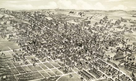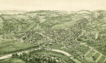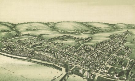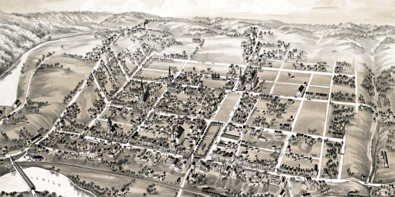
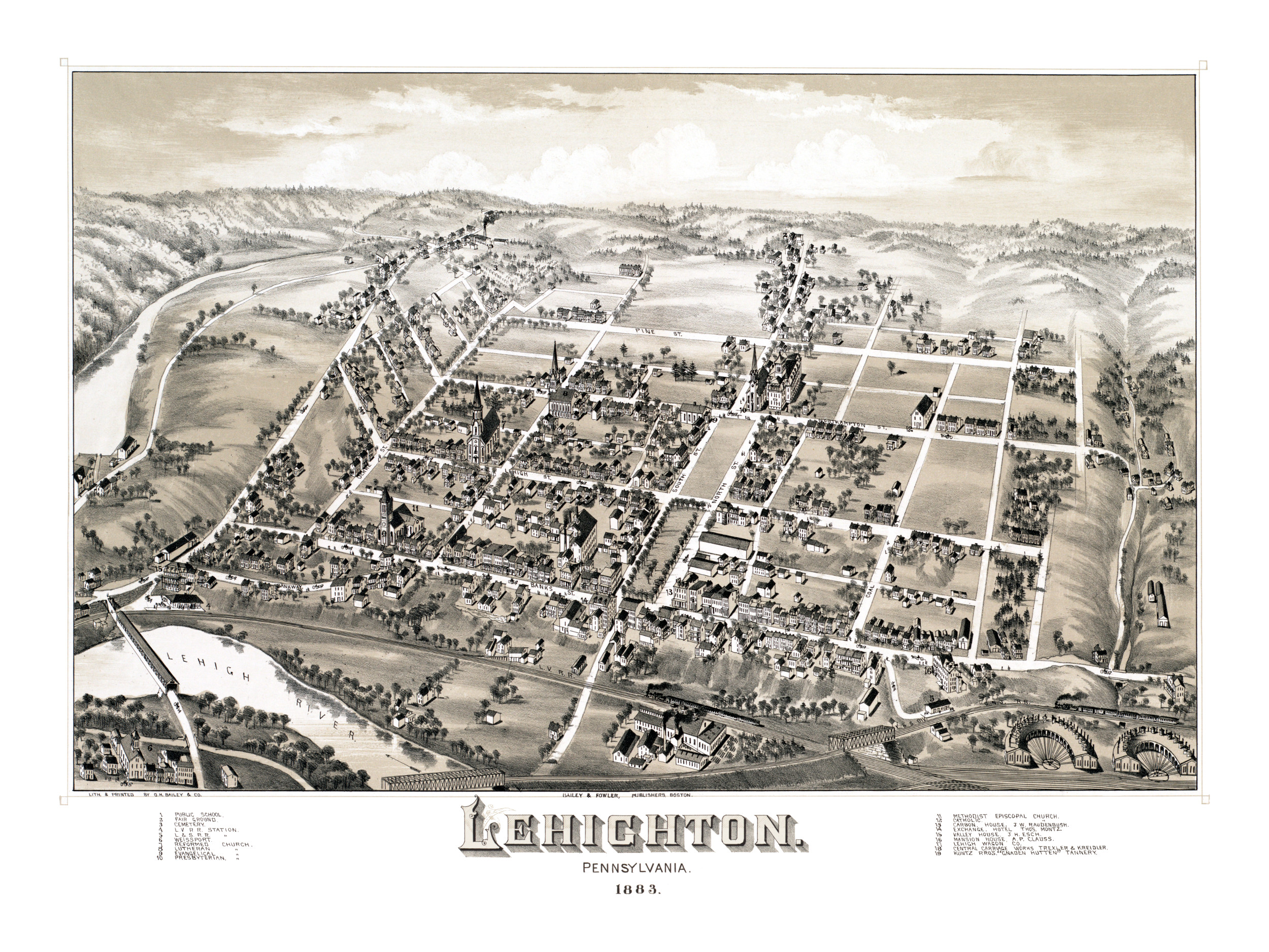
This map of Lehighton, Pennsylvania was created in 1883 by O.H. Bailey and T.M. Fowler, two prominent 19th century map makers. The detailed drawing shows a bird’s eye view of Lehighton, including street names and old landmarks.
Landmarks on the map include Lehighton Fair Grounds, Lehigh Valley Railroad Station, Carbon House, Exchange Hotel, Valley House, Mansion House, Lehigh Wagon Company, Central Carriage Works, and more.
This historic map of Lehighton has been lovingly restored by KNOWOL. Reproductions of the map are available here.
Bird’s Eye View of Lehighton, PA in 1883
This map of Lehighton will make an attractive addition to your office, library, or den, and can even be used to teach children the geography and history of the area. When you’re done exploring, click here to get your copy.