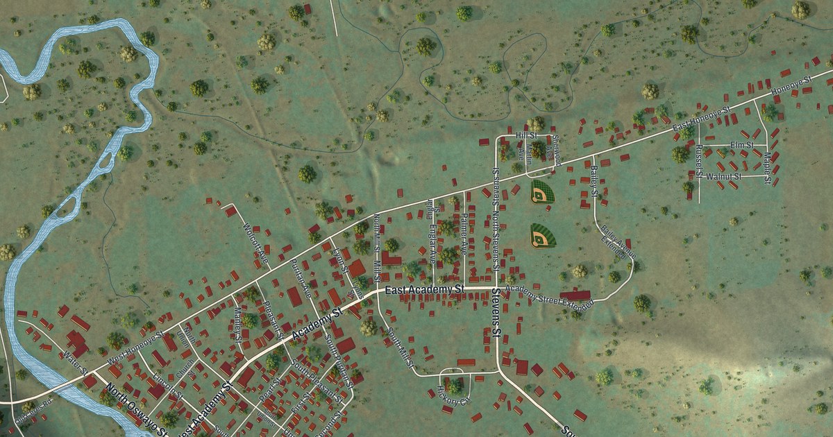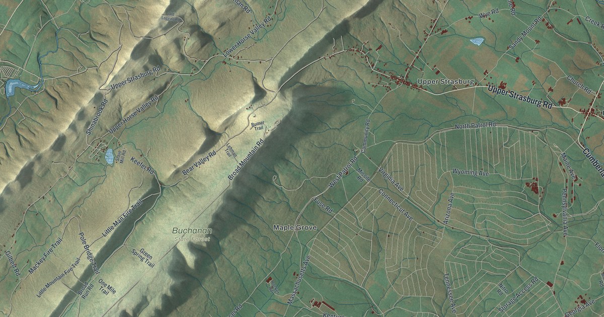
If you grew up near Upper Strasburg or Pleasant Hall, or you've driven in to Letterkenny Army Depot for work, this map covers roads you know. It's a modern aerial view of Letterkenny Township in Franklin County, Pennsylvania, made from modern data and given a vintage look. Long wooded ridges run corner to corner across the left side, shaded in green and tan. On the right, the farm country opens up, and each red shape is a building.
Pleasant Hall, Upper Strasburg Road and Bear Valley Road
Start at Pleasant Hall, where Upper Strasburg Road and Orrstown Road meet Cumberland Highway on the right side of the map. Follow Upper Strasburg Road west. Soon you'll reach Upper Strasburg, where red buildings sit close along the road. Keep going and the road climbs into the ridges. There, Bear Valley Road turns south down a long valley. Broad Mountain Road runs beside it, past the Buchanan State Forest label. Farther west, Upper Horse Valley Road heads down to Freestone.
Now go back to Upper Strasburg. Mountain Road runs south from the village, and Tracer Road carries on past Maple Grove. Below that, fine pale lines fill a wide stretch in the middle of the sheet. The roads there have names like Missile Road, Nitro Road and Bazooka Road. Many of the avenues are named for states, such as Georgia, Kentucky, Virginia and Massachusetts. Georgia Avenue passes Keefers near the bottom. In the lower right, Rocky Spring Road meets Funk Road. Many roads are labeled, so zoom in on the preview and look for yours.
How Dewalt Keefer started Upper Strasburg in 1789
The 1887 History of Franklin County says Dewalt Keefer founded Upper Strasburg in 1789. The book calls the village Strasburg, though its post office was named Upper Strasburg. It sat on the old State road, near the base of Kittatinny Mountain. The book says it was the first time Germans here were many enough to lay out towns. They named them for places they loved back in the old country. In stagecoach days, Strasburg was a busy little stop. Its merchants were known for low prices, and they always had plenty on hand. On the map, Upper Strasburg sits right where the fields end and the first ridge rises.
Rocky Spring Church and its limestone spring
Rocky Spring Presbyterian Church stands on Rocky Spring Road, about half a mile northwest of Funk Road, says its National Register listing. The same county history says the church was started in 1738. Its name came from a large spring of water that flows out of a limestone rock. The first church was a rough log building. The brick church that stands today went up in 1794. One pastor, Rev. John Craighead, was called the "fighting chaplain." He led his men as captain in battle and served as chaplain in camp. A state marker also says Margaret Cochran Corbin was born near Rocky Spring in 1751. In 1776, she manned a cannon at Fort Washington, New York, in the fight where her husband was killed. Find Rocky Spring Road in the lower right corner of the map.
For someone who knows Rocky Spring and Upper Strasburg Road
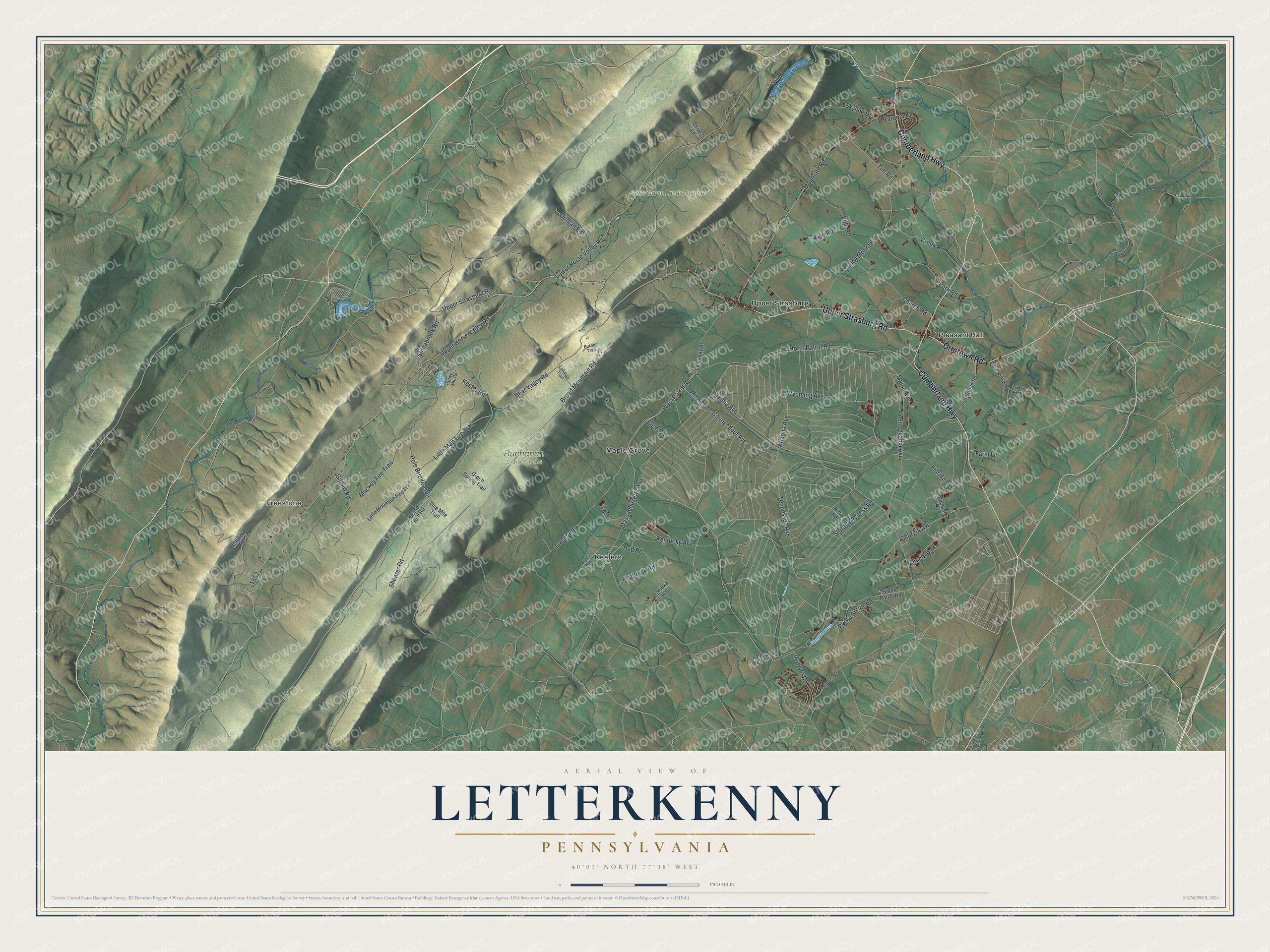
Created by KNOWOL in 2026, this Letterkenny map shows the long ridges in shaded green and tan, with farm fields, streams and red buildings spread across the valley to the east. The hills are shaded from USGS elevation data. The title panel reads "Aerial View of Letterkenny, Pennsylvania," with the coordinates 40°03' North, 77°38' West and a two-mile scale bar.
It suits a den, an office or a farmhouse kitchen. It makes a thoughtful gift for someone who grew up near Rocky Spring Church or Pleasant Hall, or who moved away and still thinks of the ridges west of Upper Strasburg. Open the preview, zoom in and find the road you know. See sizes and frames for the Letterkenny map.