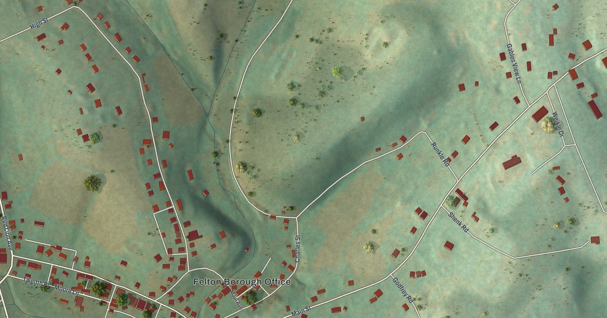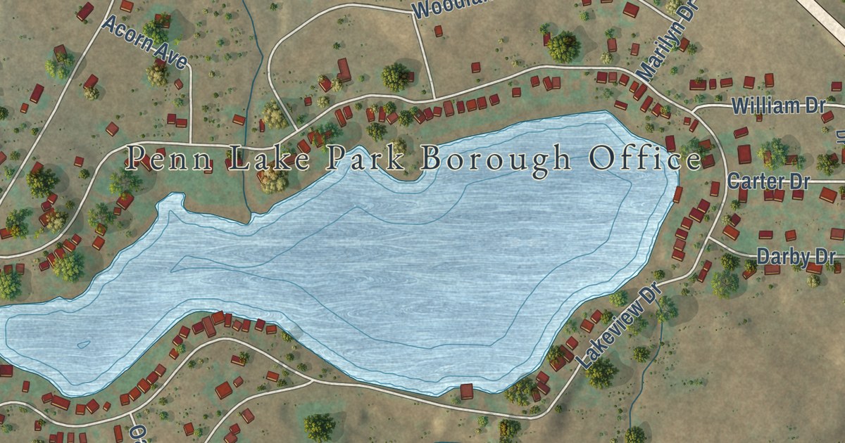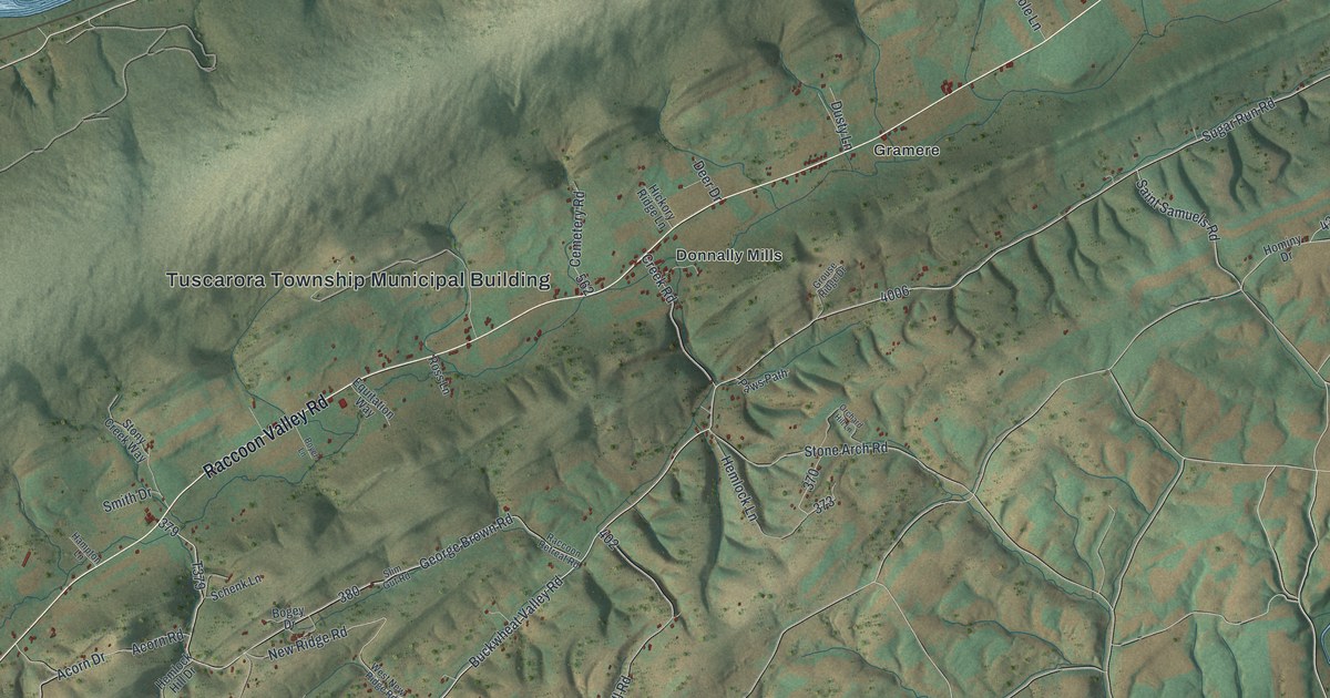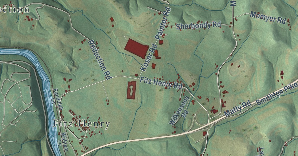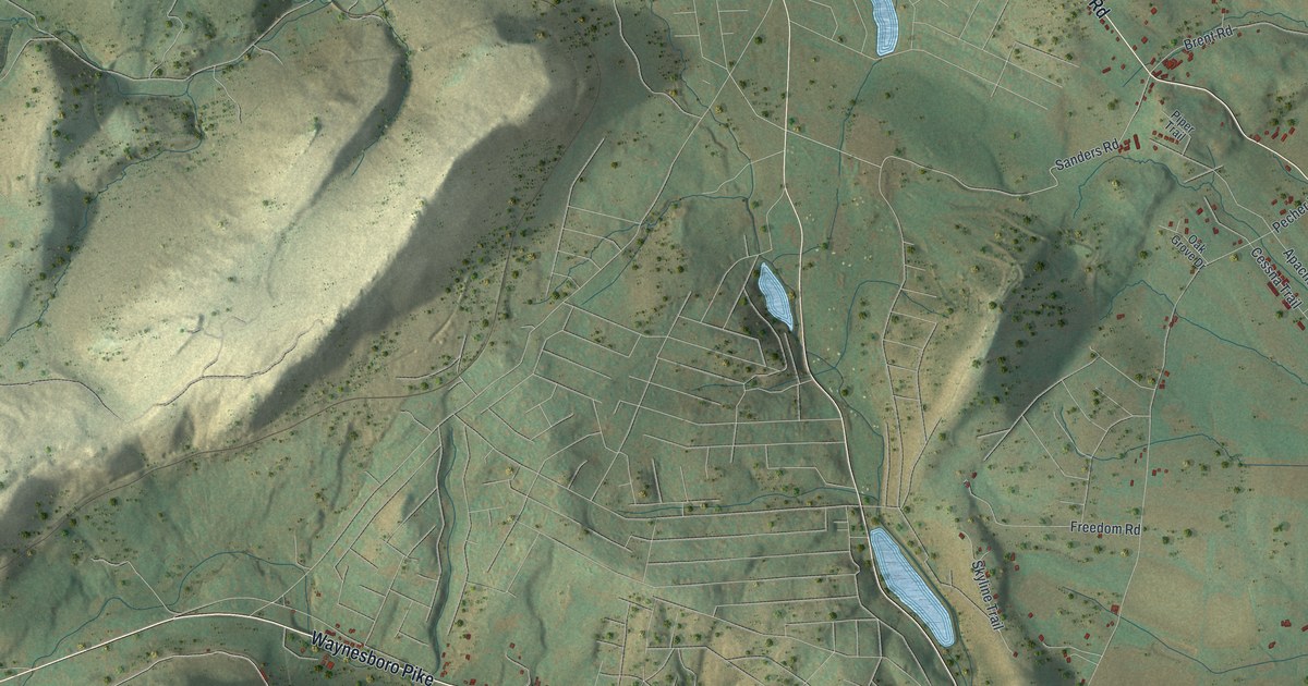
This beautifully detailed map of Liberty, Adams County, Pennsylvania was created in 2026 using aerial imagery combined with modern topographical, census, street and landmark data. It’s a one-of-a-kind view of Liberty that combines accurate data with a vintage aesthetic. The map shows every building in its true location, many of the roads carry their names, and the shaded topographic relief shows the shape of the land.
Explore an aerial view of Liberty, Adams County, Pennsylvania
On the map you’ll find Shanks Mill and Stouter, along with Water Street, Waynesboro Pike, Tract Road, Harbaugh Valley Road, Gladhill Road, Pumping Station Road, Sanders Road, Pecher Road, Bullfrog Road, Crum Road, and more. If you look closely you can even find your house accurately drawn in its correct location. Zoom in on the preview to look for yours.
Take a closer look at the Liberty, Adams County map
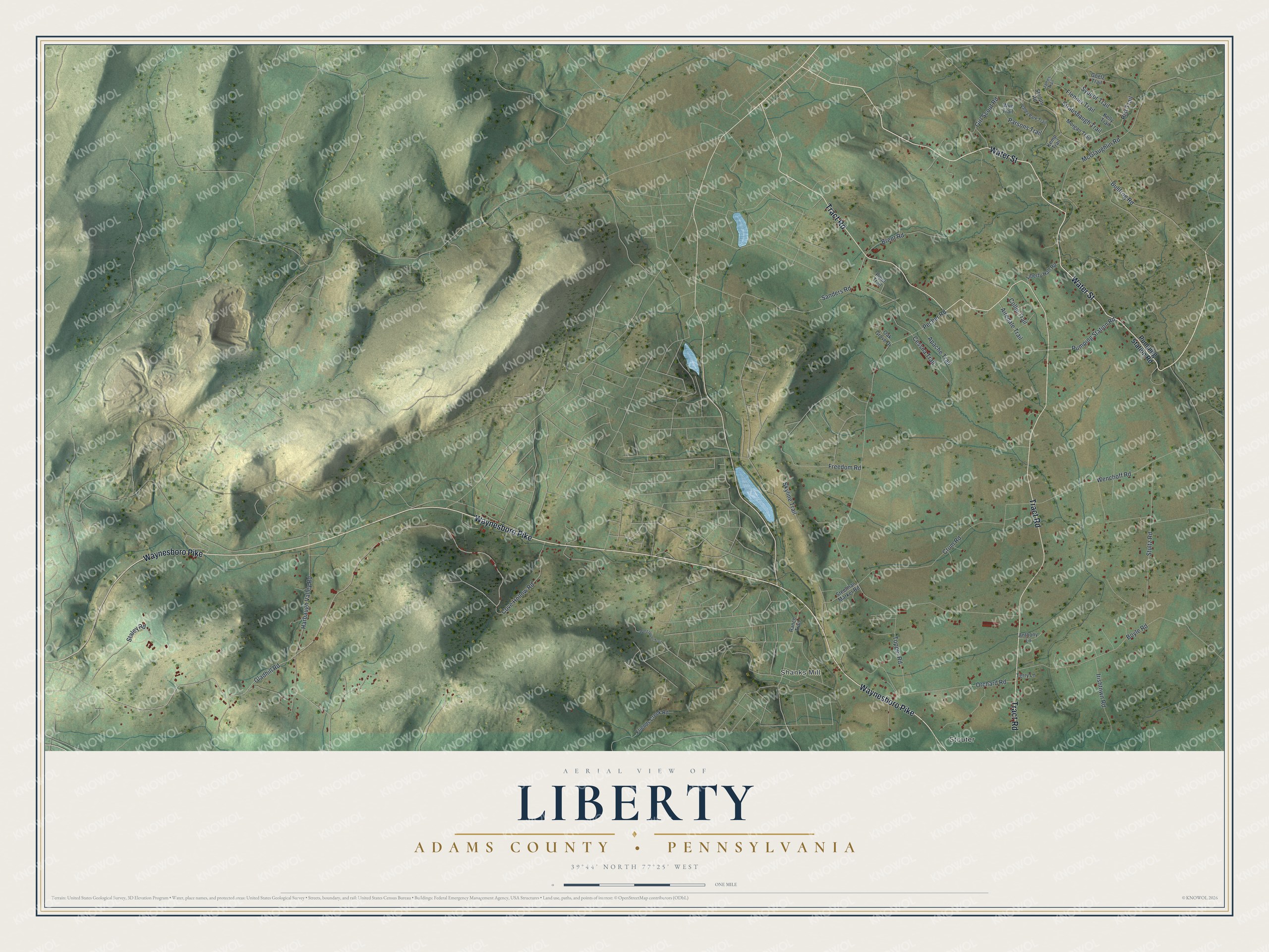
Street and place names on the Liberty, Adams County, Pennsylvania map
These names are printed on the map of Liberty, Adams County, Pennsylvania.
Places: Shanks Mill and Stouter.
Streets and roads: Water Street, Waynesboro Pike, Tract Road, Harbaugh Valley Road, Gladhill Road, Pumping Station Road, Sanders Road, Pecher Road, Bullfrog Road, Crum Road, Stultz Road, Boyle Road.
More street names, A to Z
Airedale Trail, Anthony Lane, Apache Trail, Brent Road, Cessna Trail, Collie Trail, Cove Hollow Road, Flenner Trail, Freedom Road, Friends Creek Road, Girl Scout Road, Goetz Trail, Irishtown Road, James Trail, Kelly Trail, Kemp Trail, Liberty Hall Road, McGlaughlin Road, Morgan Trail, Oak Grove Drive, Orchard Road, Parsons Trail, Piper Trail, Ranch Trail, Rist Trail, Skyline Trail, Staley Road, Steelman Marker Road, Stoops Road, Strausbaugh Trail, Sydnor Trail, Terry Lane, Topper Road, Valley Park Trail, Wenchoff Road, West Upper Trail, Wye Trail.
See the Liberty, Adams County, Pennsylvania map on a wall
The Liberty, Adams County map as an 18 x 24 inch print in a black frame.

This beautifully detailed map of Liberty, Adams County makes an attractive addition to your office, library, or den, and it can even be used to teach children the geography and history of the area. It also makes a great gift for anyone who grew up in Liberty or moved away. When you’re done exploring, click here to get your copy of the Liberty, Adams County map.