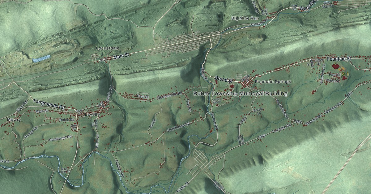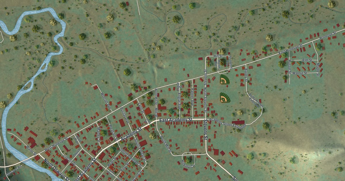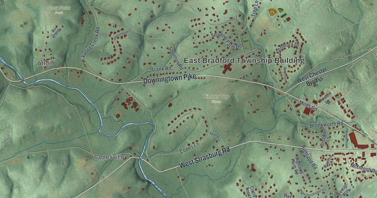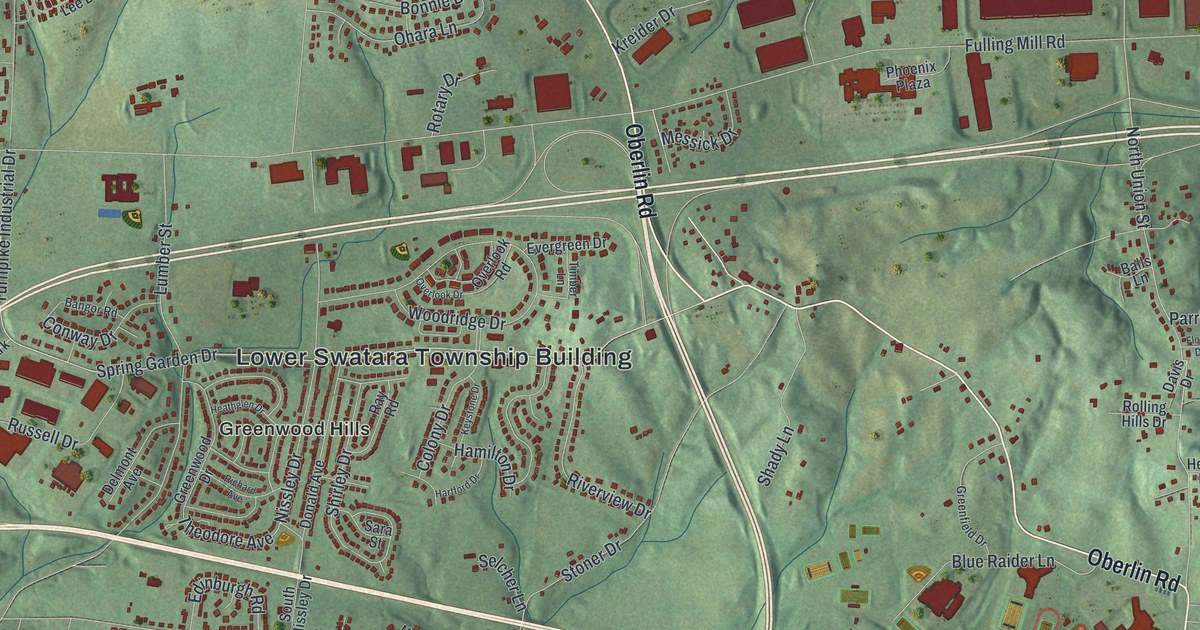
If you grew up in Lower Swatara, went to Middletown Area High School, or have family off Oberlin Road, this map gives you plenty to find. It's a modern aerial view of Lower Swatara Township in Dauphin County, Pennsylvania, made from modern data and given a vintage artistic feel. Shaded green hills fill the top of the sheet. A winding creek runs down the right side, and a wide blue river with long islands crosses the bottom. In between, more than 11,000 buildings are drawn in red, from Ebenezer to Freys Grove.
Oberlin Road, Nissley Drive and Freys Grove
Start at the Lower Swatara Township Building near the middle of the sheet. Greenwood Hills sits just to the west, along Spring Garden Drive. Woodridge Drive runs past the Township Building and meets Nissley Drive. Follow Nissley Drive north to Oberlin Road. Take Oberlin Road west toward Ebenezer in the top left corner. Back near the top center, Ebenezer Road heads north to Old Reliance Road and Farmhouse Lane. The National Register lists the Conrad and Margaret Allerman House on Farmhouse Lane.
Now head for the lower half of the sheet. Rosedale Avenue runs down past Jednota and crosses White House Lane. Meade Heights sits just above Jednota. West Harrisburg Pike runs along the bottom, close to the river. To the east, Airport Drive leads to Olmstead Drive, College Avenue and Penn State Way. On the right side, Freys Grove sits beside the creek on Swatara Park Road. Many roads are labeled, and each red shape is a building, so zoom in on the preview and look for yours.
How Lower Swatara Township started in 1840
Lower Swatara Township was formed by a state law passed on March 18, 1840. Before that, it was part of Swatara Township. The law drew the new line from one landmark to the next. It started at the west end of the bridge over Swatara Creek at Nissley's mill. A second law that June moved part of the line to Christian Good's fulling mill. Two printed roads, Nissley Drive and Fulling Mill Road, share names with those old landmarks. According to an 1883 county history, the township ran from the Swatara on the east to the Susquehanna River on the south. On the map, that's the winding creek down the right side and the wide river across the bottom.
The 1843 free school vote in Lower Swatara
The same history tells how the township got free public schools. Year after year, most voters said no. Many farmers were against the new school law. The town of Portsmouth, with about 750 people, was almost all for it. In 1843, Martin Kendig, William F. Murray and others made their move. The roads were almost impassable. They gathered every Portsmouth voter they could and carried them to the election. They guessed the farmers wouldn't come out on roads like that, and they were right. The law passed, along with a school board that backed it. By 1883 the township had eight good schools. Portsmouth joined Middletown in 1857.
For someone from Ebenezer, Jednota or Greenwood Hills
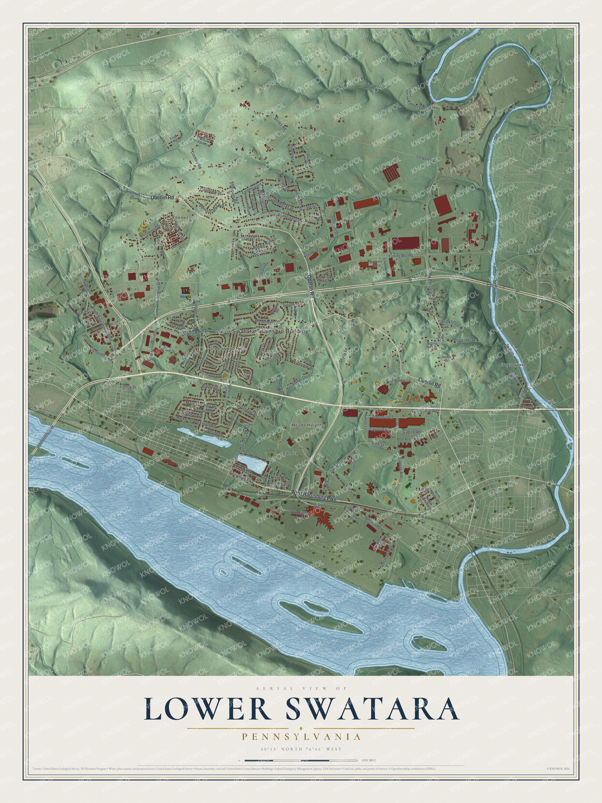
Created by KNOWOL in 2026, this Lower Swatara map shows the hills in soft green shading from USGS elevation data. The creek and the river are drawn in pale blue, and the buildings are drawn in deep red. The title panel reads "Aerial View of Lower Swatara, Pennsylvania" with the coordinates 40°13' North, 76°46' West and a one-mile scale bar.
It suits a home office, a den or a family room. It's also a thoughtful gift for someone who went to Middletown Area High School, or anyone who grew up here and moved away. Open the watermarked preview, find Oberlin Road, and follow it to a street you know. See sizes and frames for the Lower Swatara map.