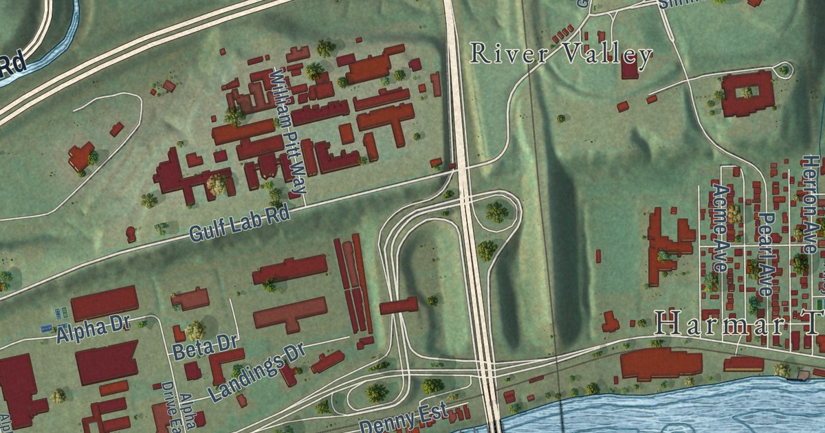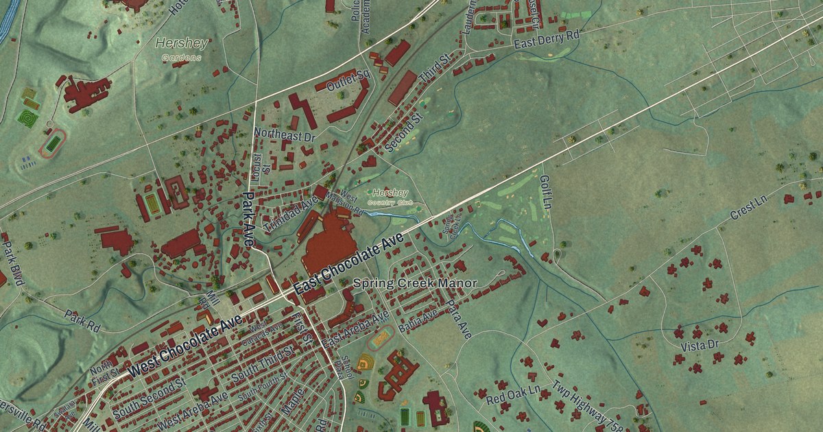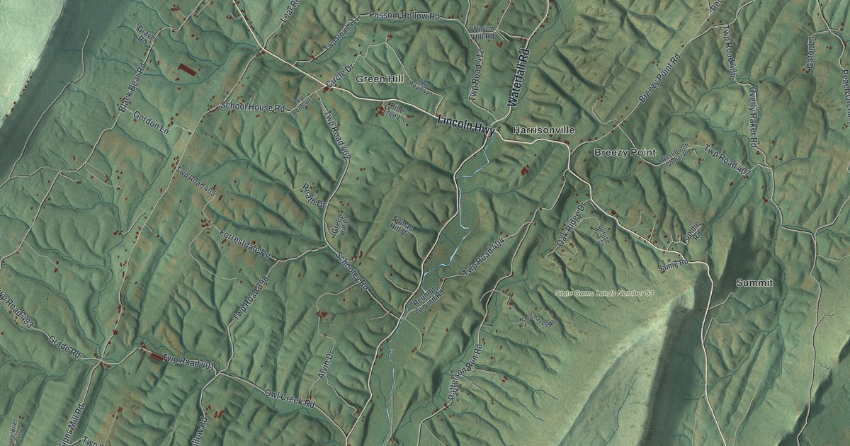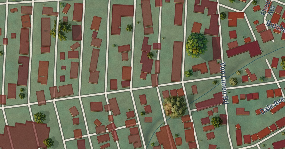
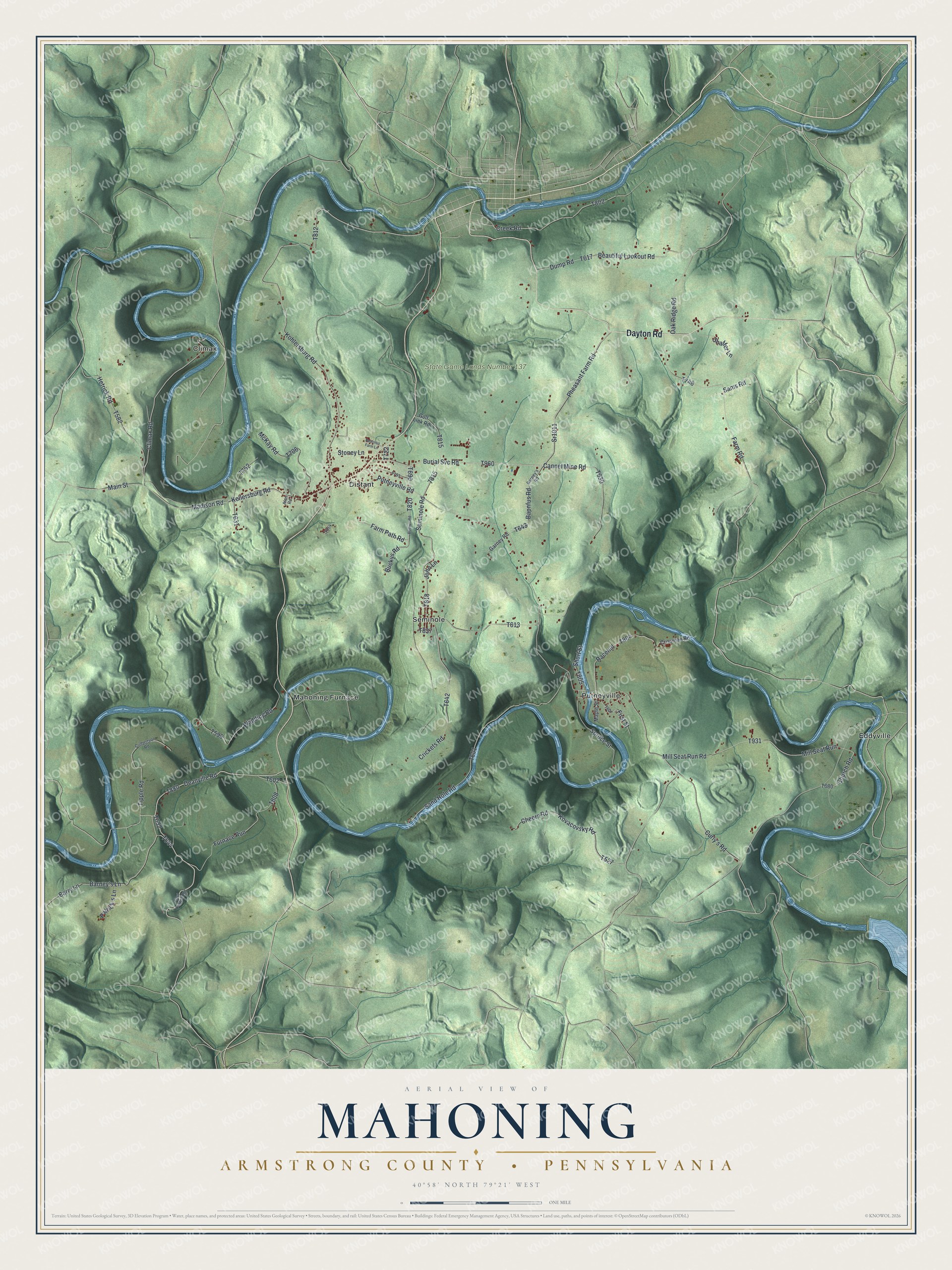
This beautifully detailed map of Mahoning, Armstrong County, Pennsylvania was created in 2026 using aerial imagery combined with modern topographical, census, street and landmark data. It’s a one-of-a-kind view of Mahoning that combines accurate data with a vintage aesthetic. The map shows every building in its true location, many of the roads carry their names, and the shaded topographic relief shows the shape of the land.
Explore an aerial view of Mahoning, Armstrong County, Pennsylvania
On the map you’ll find State Game Lands Number 137, Climax, Distant, Eddyville, Mahoning Furnace, Putneyville, and Seminole, along with Dayton Road, Barry Lane, Deanville Road, and more. If you look closely you can even find your house accurately drawn in its correct location. Zoom in on the preview to look for yours.
Did you know this piece of Mahoning, Armstrong County, Pennsylvania history?
From Pa-roots.com: "The father and mother were not awakened until the devouring element had nearly caught them asleep on the first floor, from which they had barely time to escape with their lives in their nightclothes through a window near their bed."
Take a closer look at the Mahoning, Armstrong County map
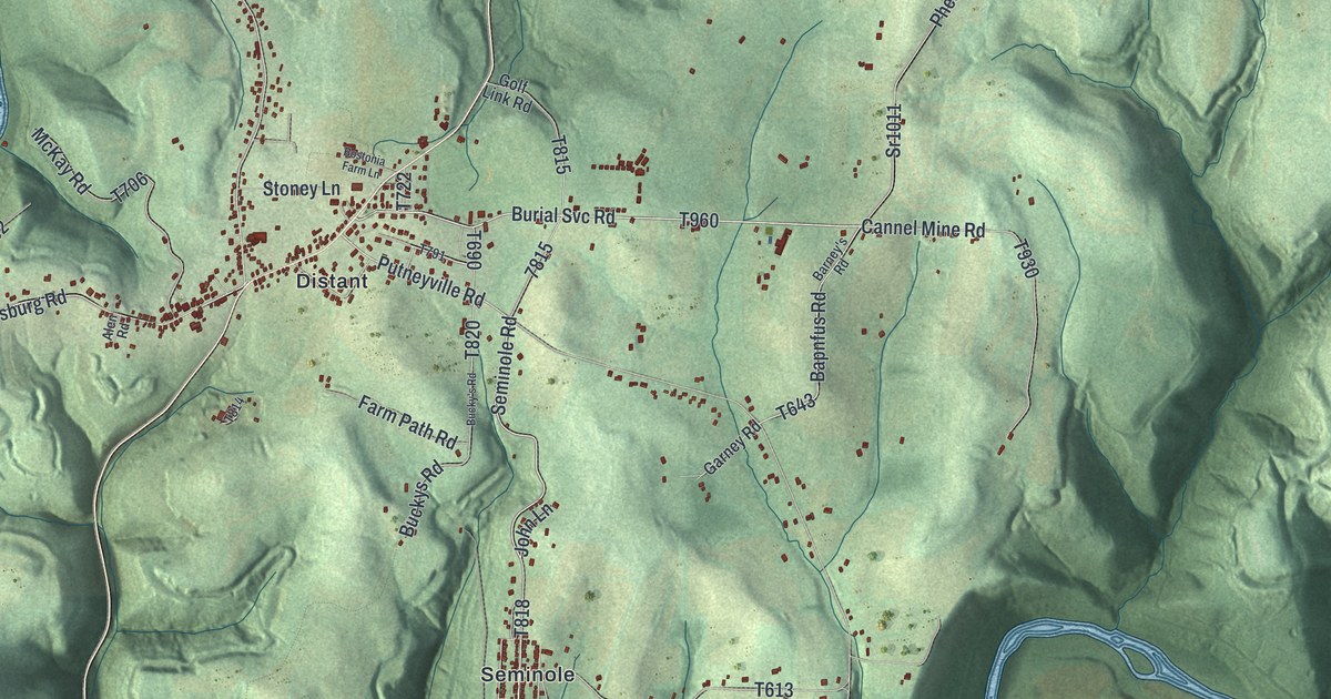
Street and place names on the Mahoning, Armstrong County, Pennsylvania map
These names are printed on the map of Mahoning, Armstrong County, Pennsylvania.
Places: State Game Lands Number 137, Climax, Distant, Eddyville, Mahoning Furnace, Putneyville and Seminole.
Streets and roads: Dayton Road, Barry Lane, Deanville Road, Putneyville Road, Burial Svc Road, Kohlersburg Road, Seminole Road, Main Street, Madison Road, Pheasant Farm Road, Crickets Road, Kellersburg Road.
More street names, A to Z
Alen Road, Bapnfus Road, Barney's Lane, Barney's Road, Beautiful Lookout Road, Bostonia Farm Lane, Bucky's Road, Buckys Road, Cannel Mine Road, Cheers Road, Church Road, Climax Road, Creek Road, Crissman Road, Culbertson Road, Curly's Road, Dump Road, East Colwell Road, Farm Path Road, Farm Road, First Street, Furnace Run, Garney Road, Golf Link Road, Hetrick Road, John Lane, Kovacovsky Road, Maple Street, McKay Road, Mill Seat Run, Mill Seat Run Road, Oak Ridge Road, Patrick's Lane, Racehill, Sams Road, Sand Hole Road, Shaffer Lane, Short Street, Spruce Street, Sr1011, Stoney Lane, Tipple Road, Wadding Road.
See the Mahoning, Armstrong County, Pennsylvania map on a wall
The Mahoning, Armstrong County map as an 18 x 24 inch print in a black frame.

This beautifully detailed map of Mahoning, Armstrong County makes an attractive addition to your office, library, or den, and it can even be used to teach children the geography and history of the area. It also makes a great gift for anyone who grew up in Mahoning or moved away. When you’re done exploring, click here to get your copy of the Mahoning, Armstrong County map.