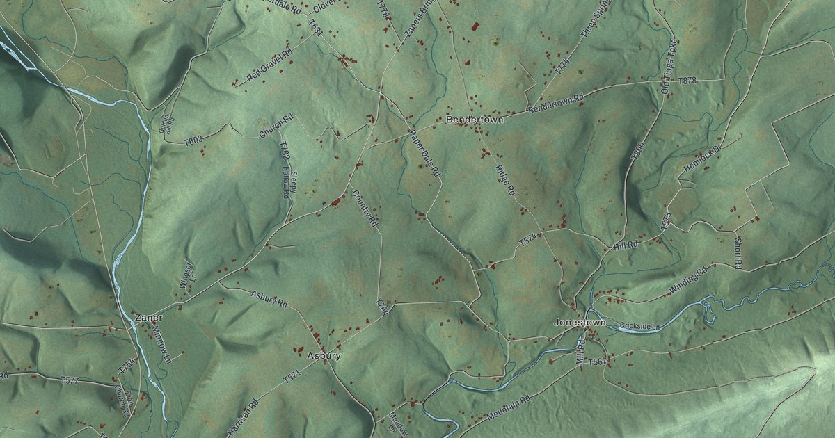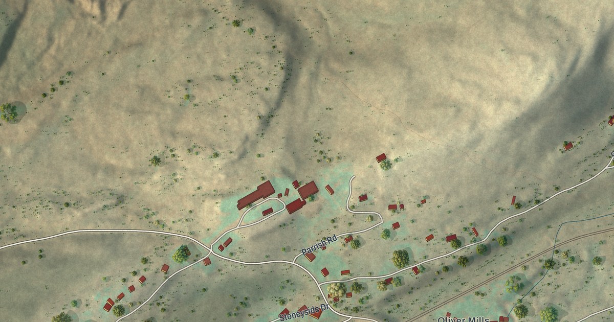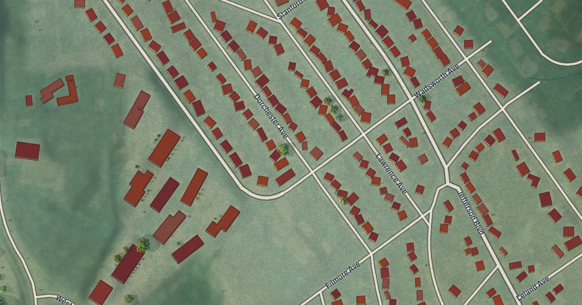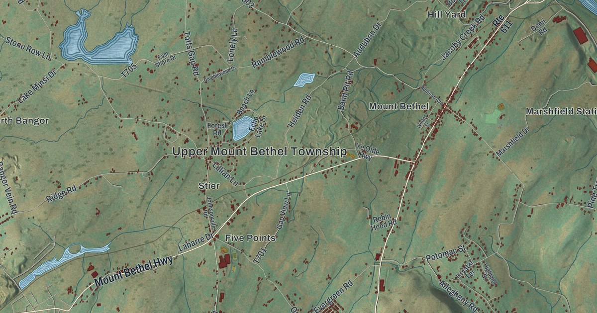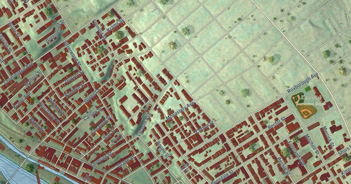
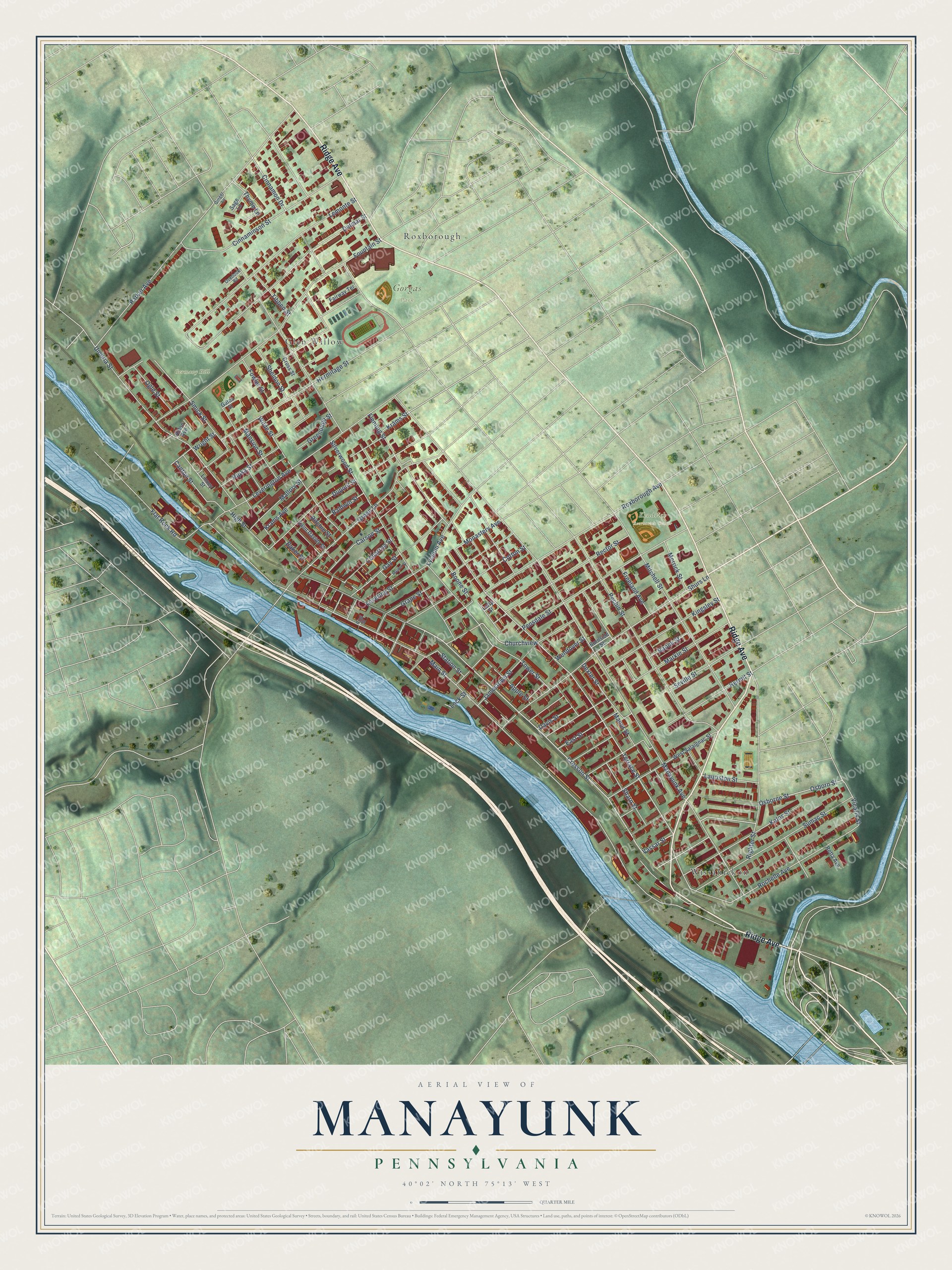
This beautifully detailed map of Manayunk, Pennsylvania was created in 2026 using aerial imagery combined with modern topographical, census, street and landmark data. It’s a one-of-a-kind view of Manayunk that combines accurate data with a vintage aesthetic. The map shows every building in its true location, many of the roads carry their names, and the shaded topographic relief shows the shape of the land.
Explore an aerial view of Manayunk, Pennsylvania
On the map you’ll find Gorgas Park, Germany Hill, Kendrick Recreation Center, Wissahickon, Glen Willow, Roxborough, and Churchview, along with Ridge Avenue, Cresson Street, Vassar Street, Terrace Street, Cotton Street, and more. If you look closely you can even find your house accurately drawn in its correct location. Zoom in on the preview to look for yours.
Did You Know?
From Internet Archive: "After graduating from the Philadelphia High School, he took up the study of medicine in the Hahnemann College, whence he graduated in 1869, and settled down to practice in Manayunk."
Manayunk is a place in Philadelphia County.
Take a closer look at the Manayunk map
Names on this map
These names are printed on this map.
Places: Gorgas Park, Germany Hill, Kendrick Recreation Center, Wissahickon, Glen Willow and Roxborough.
Streets and roads: Ridge Avenue, Cresson Street, Churchview, Vassar Street, Terrace Street, Cotton Street, Main Street, Manayunk Avenue, Pechin Street, Silverwood Street, Hermitage Street, Parker Avenue.
More street names, A to Z
Aldon Avenue, Apple Street, Baker Street, Baldwin Street, Boone Street, Burnside Street, Canton Street, Carson Street, Cinnaminson Street, Cinnamon Drive, Conarroe Street, Cross Street, Davis Street, Delmar Street, Dexter Street, Dupont Street, East Street, Fairway Terrace, Flat Rock Road, Fleming Street, Fountain Street, Fowler Street, Freeland Avenue, Gates Street, Gay Street, Ginger Lane, Grape Street, Green Lane, Greenough Street, Hermit Street, High Street, Jamestown Street, Kalos Street, Kingsley Street, Krams Avenue, Krams Street, Lauriston Street, Lemonte Street, Levering Street, Leverington Avenue, Linney Street, Lock Street, Lofty Street, Lyceum Avenue, Maiden Street, Mallory Street, Manor Street, Mansion Street, Markle Street, Merrick Street, Mitchell Street, Monastery Avenue, Naomi Street, Ogle Street, Osborne Street, Osborn Street, Overlook Road, Pensdale Street, Rector Street, Retta Avenue, Righter Street, Ring Street, Ripka Street, Ritchie Street, Rochelle Avenue, Roxborough Avenue, Sage Lane, Saint Davids Street, Seville Street, Sharp Street, Sheldon Street, Shurs Lane, Smick Street, Station Street, Sumac Street, Thyme Lane, Tibben Street, Tower Street, Umbria Street, Vicaris Street, Wendover Street, West Salaignac Street, Wilde Street, Wright Street.
See it on a wall
The Manayunk map as a framed print. Swipe for more.


This beautifully detailed map of Manayunk makes an attractive addition to your office, library, or den, and it can even be used to teach children the geography and history of the area. It also makes a great gift for anyone who grew up in Manayunk or moved away. When you’re done exploring, click here to get your copy of the Manayunk map.