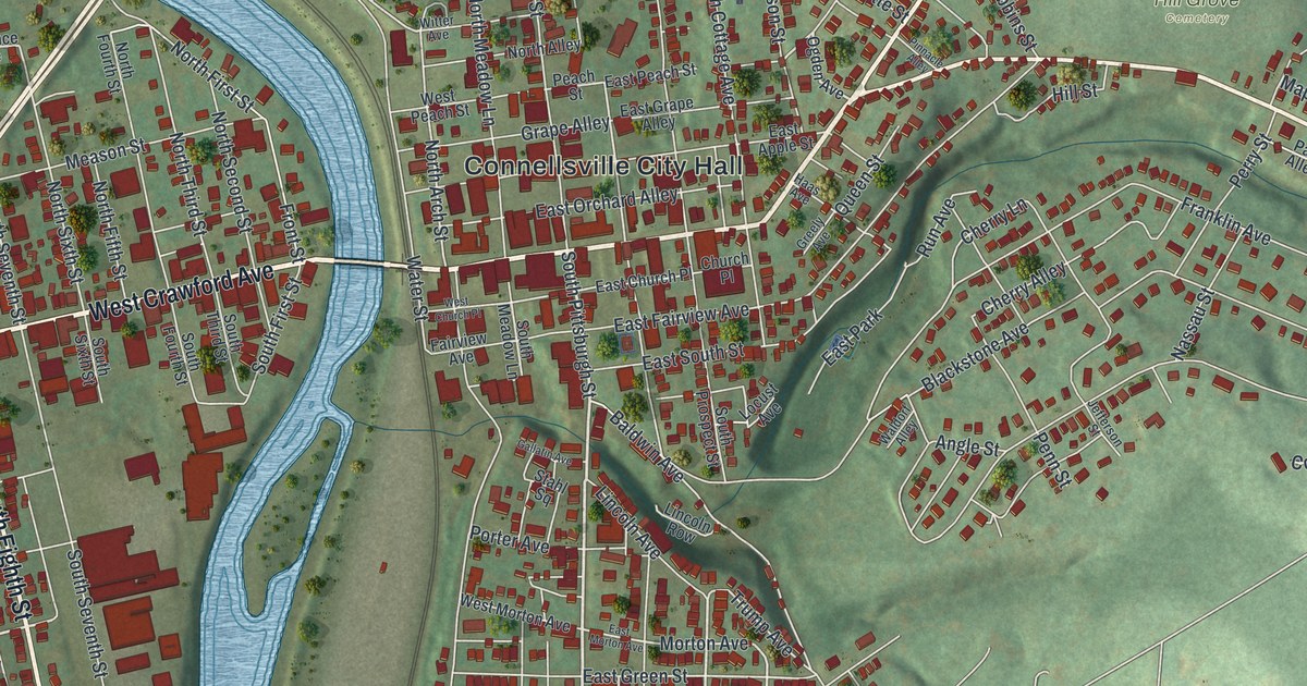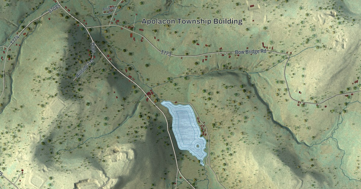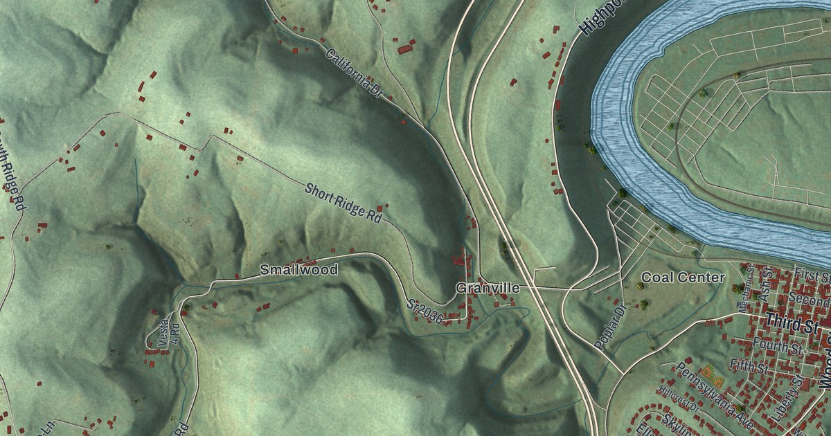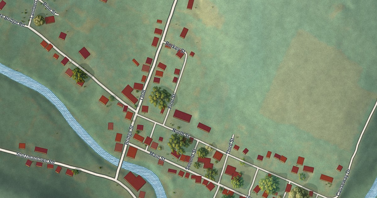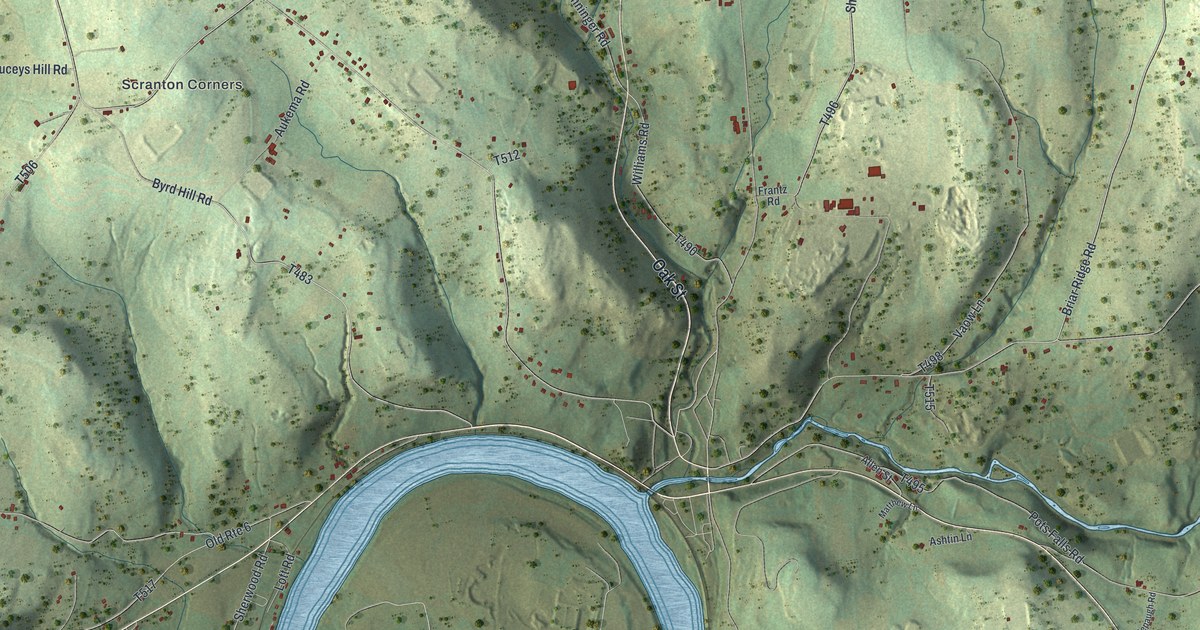
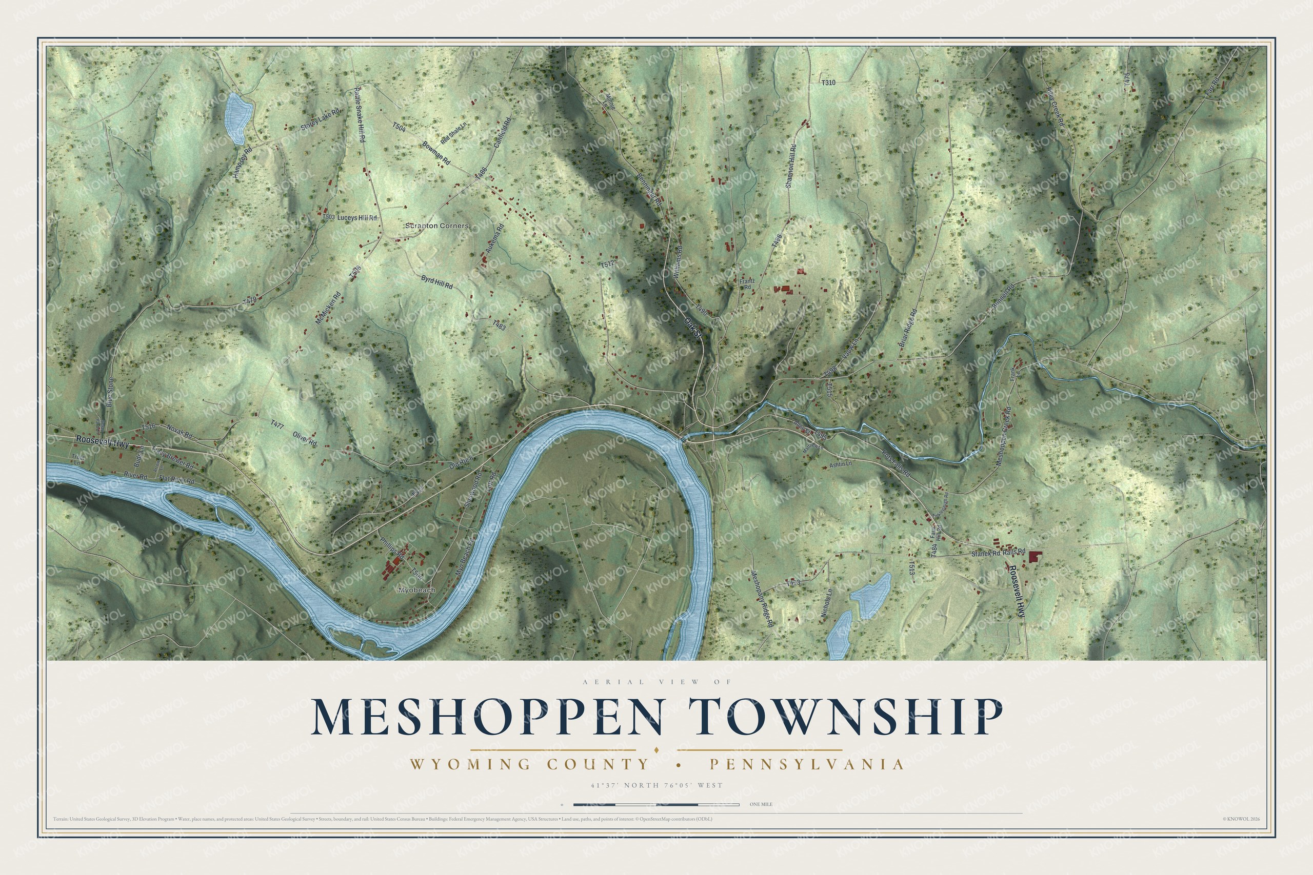
This beautifully detailed map of Meshoppen Township, Pennsylvania was created in 2026 using aerial imagery combined with modern topographical, census, street and landmark data. It’s a one-of-a-kind view of Meshoppen Township that combines accurate data with a vintage aesthetic. The map shows every building in its true location, many of the roads carry their names, and the shaded topographic relief shows the shape of the land.
Explore an aerial view of Meshoppen Township, Pennsylvania
On the map you’ll find Myobeach and Scranton Corners, along with Roosevelt Highway, Oak Street, Meshopany Ridge Road, Myo Beach Road, Canfield Road, Shannon Hill Road, and more. If you look closely you can even find your house accurately drawn in its correct location. Zoom in on the preview to look for yours.
Did you know this piece of Meshoppen Township, Pennsylvania history?
From the Pennsylvania Historical and Museum Commission: "Fourteen miles from Tunkhannock Fourth Encampment of Sullivan's Army on the march from Wyoming to Teaoga August 4-5, 1779 lay on this lowland known as Black Walnut Flats."
Take a closer look at the Meshoppen Township map
Street and place names on the Meshoppen Township, Pennsylvania map
These names are printed on the map of Meshoppen Township, Pennsylvania.
Places: Myobeach and Scranton Corners.
Streets and roads: Roosevelt Highway, Oak Street, Myo Beach Road, Shannon Hill Road, Meshopany Ridge Road, Novak Road, Canfield Road, Lott Road, Rattle Snake Hill Road, Bunnell Road, Blue Stone, Old Route 6.
More street names, A to Z
Allen Street, Arrow Lane, Ashtin Lane, Aukema Road, Benninger Road, Bowman Road, Briar Ridge Road, Buds Lane, Byrd Hill Road, Farr Road, Faux Hill Road, Flat River Road, Frank Lane, Frantz Road, Hampsey Road, Luceys Hill Road, Matthew Lane, McMicken Road, Meshoppen Creek Road, Minnie Lane, Nichols Lane, Oliver Road, Phillips Road, Pots Falls Road, Rails Road, Red Shale Lane, Riley Creek Road, River Road, Scrap Yard Lane, Sherwood Road, Stanek Road, Storey Lake Road, Tinklepaugh Road, Tracy Brewer Road, Trout Lane, Vaow Lane, Williams Road.
See the Meshoppen Township, Pennsylvania map on a wall
The Meshoppen Township, Wyoming County map as an 18 x 24 inch print in a black frame.

This beautifully detailed map of Meshoppen, Wyoming County makes an attractive addition to your office, library, or den, and it can even be used to teach children the geography and history of the area. It also makes a great gift for anyone who grew up in Meshoppen Township or moved away. When you’re done exploring, click here to get your copy of the Meshoppen, Wyoming County map.