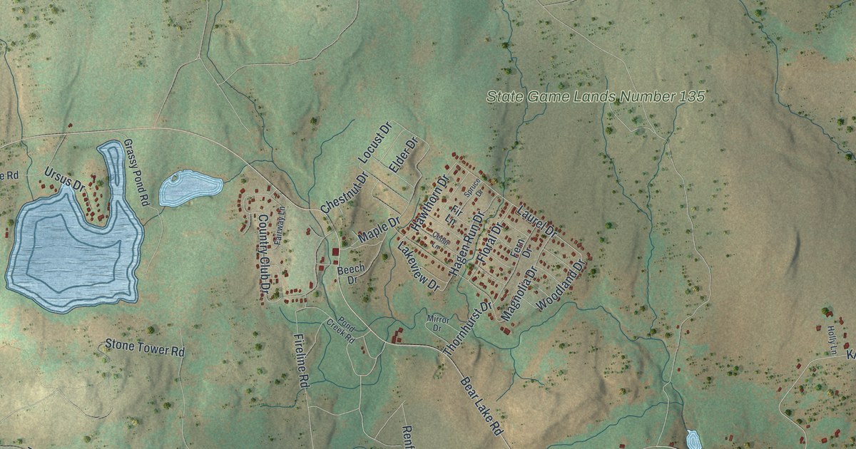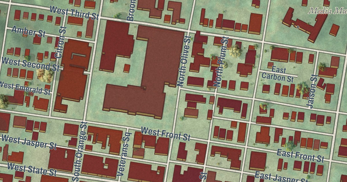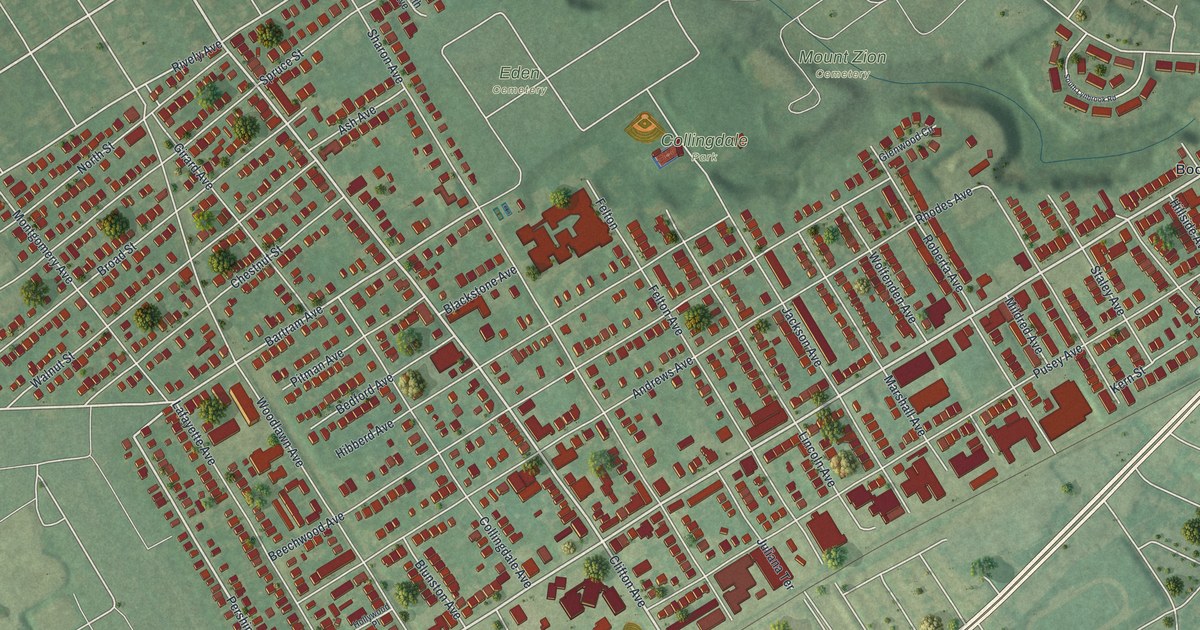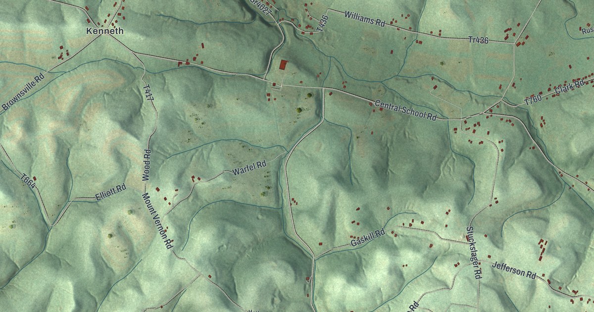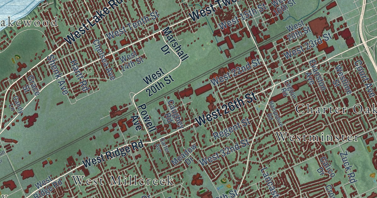
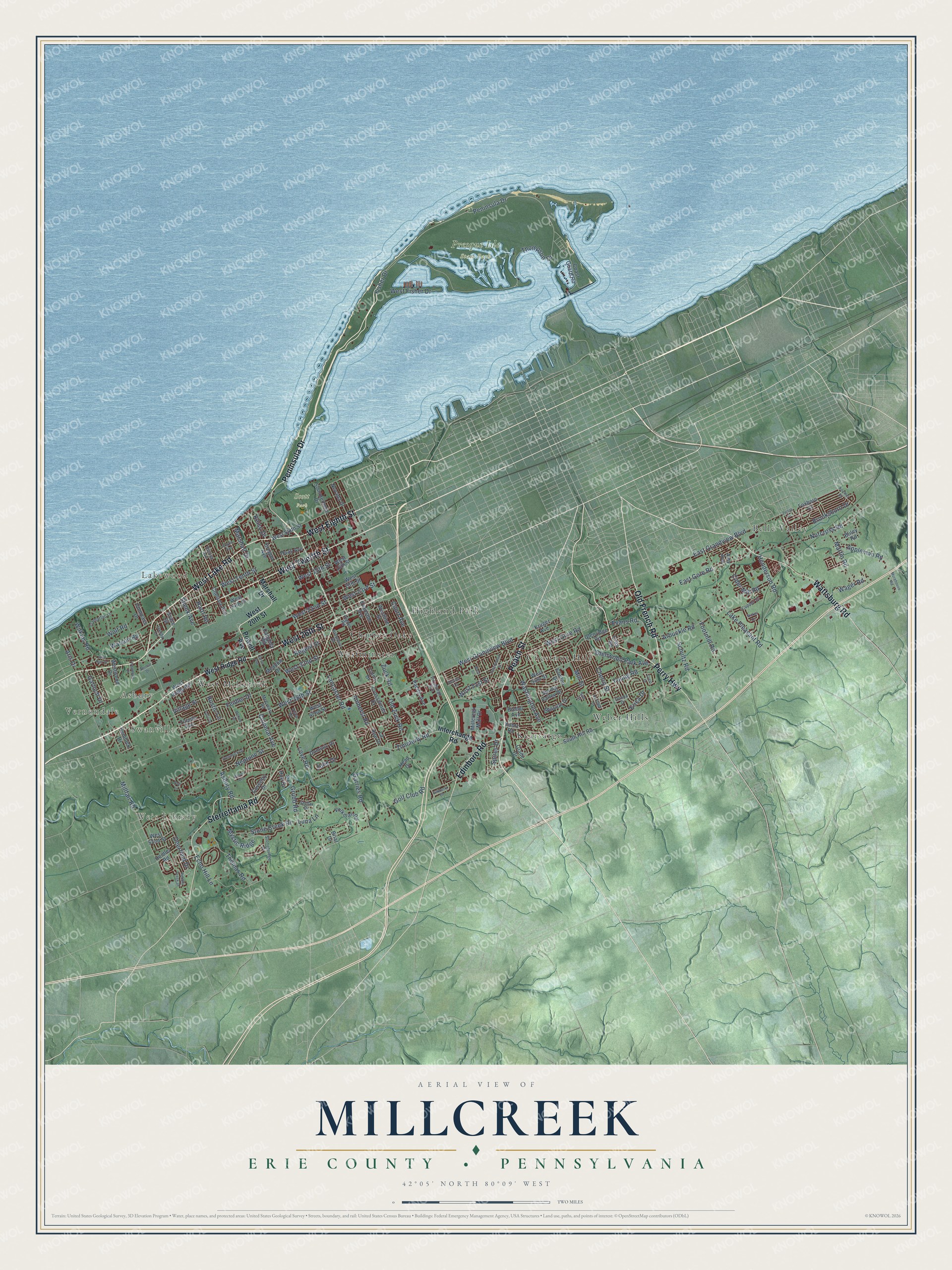
This beautifully detailed map of Millcreek, Erie County, Pennsylvania was created in 2026 using aerial imagery combined with modern topographical, census, street and landmark data. It’s a one-of-a-kind view of Millcreek that combines accurate data with a vintage aesthetic. The map shows every building in its true location, many of the roads carry their names, and the shaded topographic relief shows the shape of the land.
Explore an aerial view of Millcreek, Erie County, Pennsylvania
On the map you’ll find Vernondale, Swanville, Asbury, Weis Library, Lakewood, Presque Isle State Park, Scott Park, Belle Valley, Charter Oaks, Chestnut Hill, Eaglehurst, Highland Park, and more. If you look closely you can even find your house accurately drawn in its correct location. Zoom in on the preview to look for yours.
Did you know this piece of Millcreek, Erie County, Pennsylvania history?
Millcreek Township’s Waldameer amusement park grew from a wooded tract called Hopkins Grove. The Erie Electric Motor Company bought the grove in 1896 to build the park. Waldameer ranks among the nation’s oldest amusement parks. It later added a water park, Water World.
Take a closer look at the Millcreek, Erie County map
Street and place names on the Millcreek, Erie County, Pennsylvania map
These names are printed on the map of Millcreek, Erie County, Pennsylvania.
Places: Vernondale, Swanville, Asbury, Weis Library, Lakewood, Presque Isle State Park, Scott Park, Belle Valley, Weber Hills, Kearsarge, Highland Park, Chestnut Hill, West Millcreek, Charter Oaks and Westminster.
Streets and roads: Peninsula Drive, West Lake Road, Old French Road, Peach Street, Sterrettania Road, West 26th Street, West Twelfth Street, Wattsburg Road, Perry Highway, Edinboro Road, West Eighth Street, Asbury Road.
More street names, A to Z
Alison Avenue, Amherst Road, Amy Avenue, Appleman Road, Arbuckle Road, Argyle Avenue, Aris Drive, Biebel Avenue, Bliley Road, Briar Drive, Brooksboro Drive, Calico Drive, Candy Lane, Carter Avenue, Caughey Road, Chelsea Avenue, Cherry Street, Cider Mill Road, Clinton Drive, Coast Guard Road, Colonial Avenue, Colt Lane, Compass Drive, Copper Drive, Court Avenue, Coventry Drive, Cray Road, Crest Drive, Crosswinds Drive, Deerfield Drive, Devon Lane, Dominic Drive, Donna Drive, East Gore Road, East Grandview Boulevard, Echo Hill Lane, Erica Drive, Evans Road, Evanston Avenue, Feidler Drive, Fisher Drive, Footmill Road, Foxboro Court, Garloch Drive, Garries Road, Glade Drive, Glenridge Road, Glenwood Park Avenue, Golf Club Road, Grace Street, Greenwood Street, Grubb Road, Haas Avenue, Hampshire Road, Hartt Road, Head Drive, Heidler Road, Hemlock Drive, Henderson Road, Heritage Drive, Interchange Road, Julie Drive, Kelso Drive, Kimberly Drive, Koehler Road, Kruger Avenue, Kuntz Road, Lake Pleasant Road, Lancaster Road, La Rae Drive, Legion Road, Love Road, Luna Lane, Marshall Drive, Martin Road, McCreary Road, McKee Road, Meadow Drive, Millcreek Mall Drive, Millfair Road, Mill Street, Mission Drive, Morehouse Road, Mystic Ridge, Neptune Street, Nevada Drive, Nickel Drive, Norcross Road, Old Zuck Road, Oregon Avenue, Pacific Avenue, Patio Drive, Pebble Creek Drive, Pittsburgh Avenue, Powell Avenue, Prestwick Drive, Regent Street, Roslyn Avenue, Rustic Lane, Schultz Road, Shenk Avenue, Sir Hue Drive, Sommerheim Drive, South Hill Road, Spires Drive, Spring Valley Drive, Stellar Drive, Stonebridge Drive, Stone Creek Drive, Sun Court, Thomas Road, Thompson Drive, Tramarlac Lane, Tulane Avenue, Vernon Drive, Village Street, Vista Drive, Volkman Road, Wager Road, Washington Avenue, Watson Road, West 14th Street, West 15th Street, West 16th Street, West 20th Street, West 22nd Street, West 23rd Street, West 32nd Street, West 38th Street, West 42nd Street, West 51st Street, West 52nd Street, West 54th Street, West Fisher Drive, West Gore Road, West Grandview Boulevard, Westline Street, West Ridge Road, West Sixth Street, West Street, West Tenth Street, Westwood Drive, Wilkins Road, Wolf Road, Wolf Run Drive, Woodside Drive, Young Road, Zenith Drive, Zimmerly Road, Zuck Road.
See the Millcreek, Erie County, Pennsylvania map on a wall
The Millcreek, Erie County map as an 18 x 24 inch print in a black frame.

This beautifully detailed map of Millcreek, Erie County makes an attractive addition to your office, library, or den, and it can even be used to teach children the geography and history of the area. It also makes a great gift for anyone who grew up in Millcreek or moved away. When you’re done exploring, click here to get your copy of the Millcreek, Erie County map.