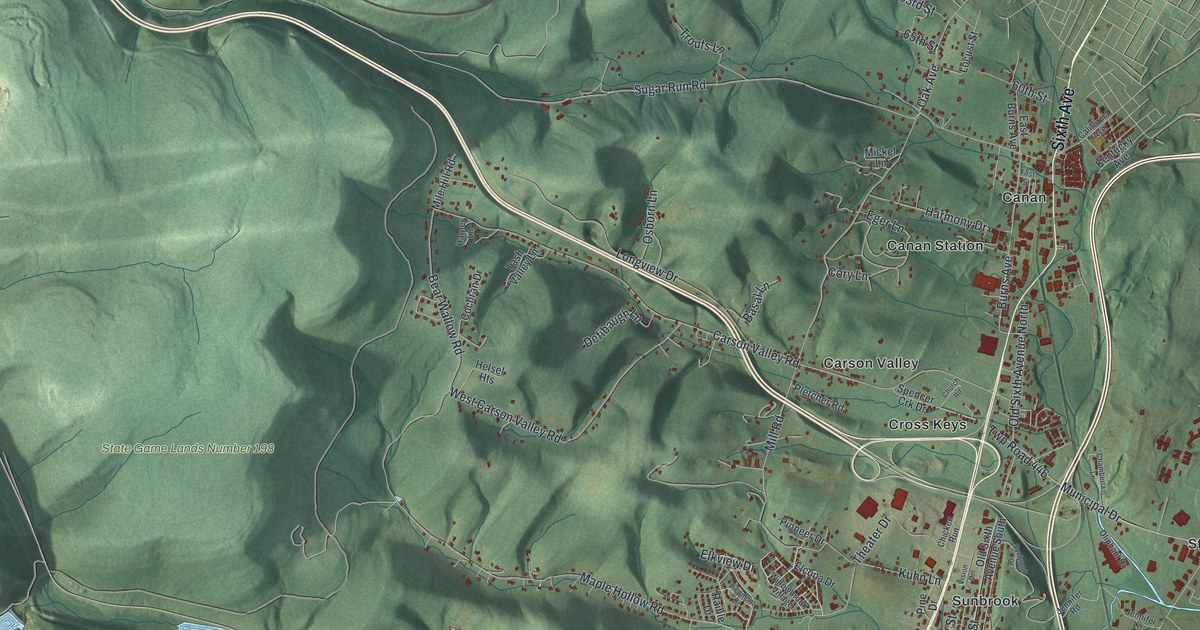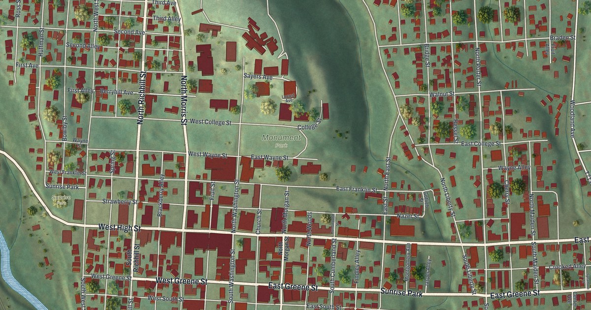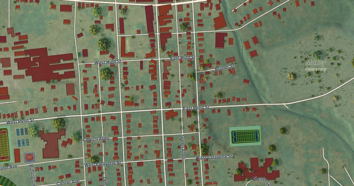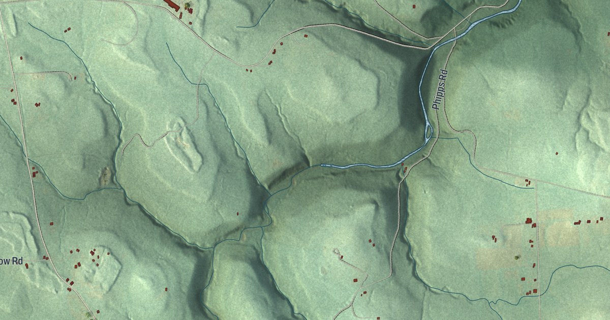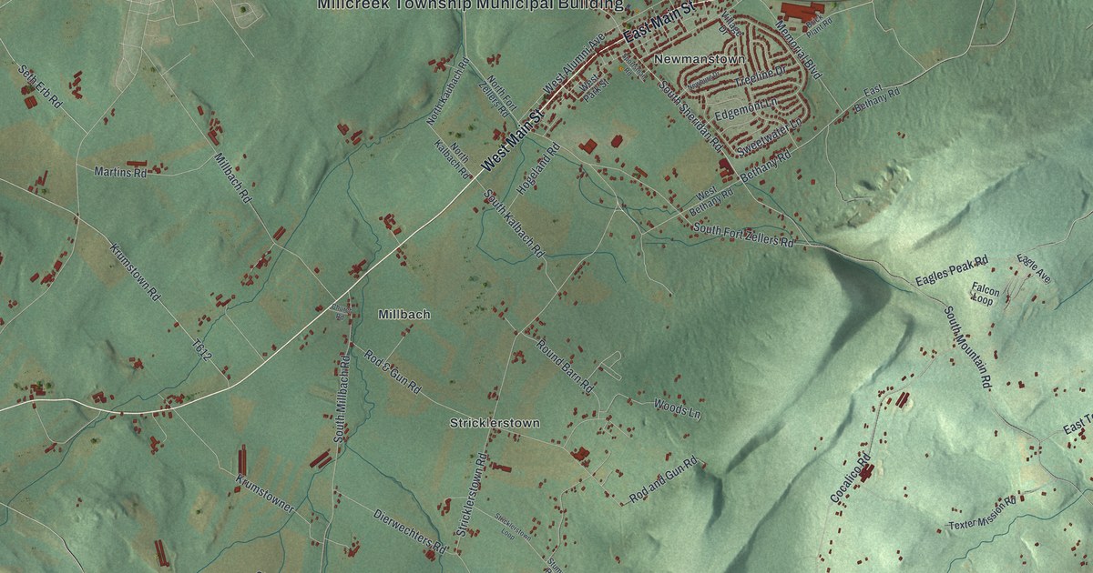
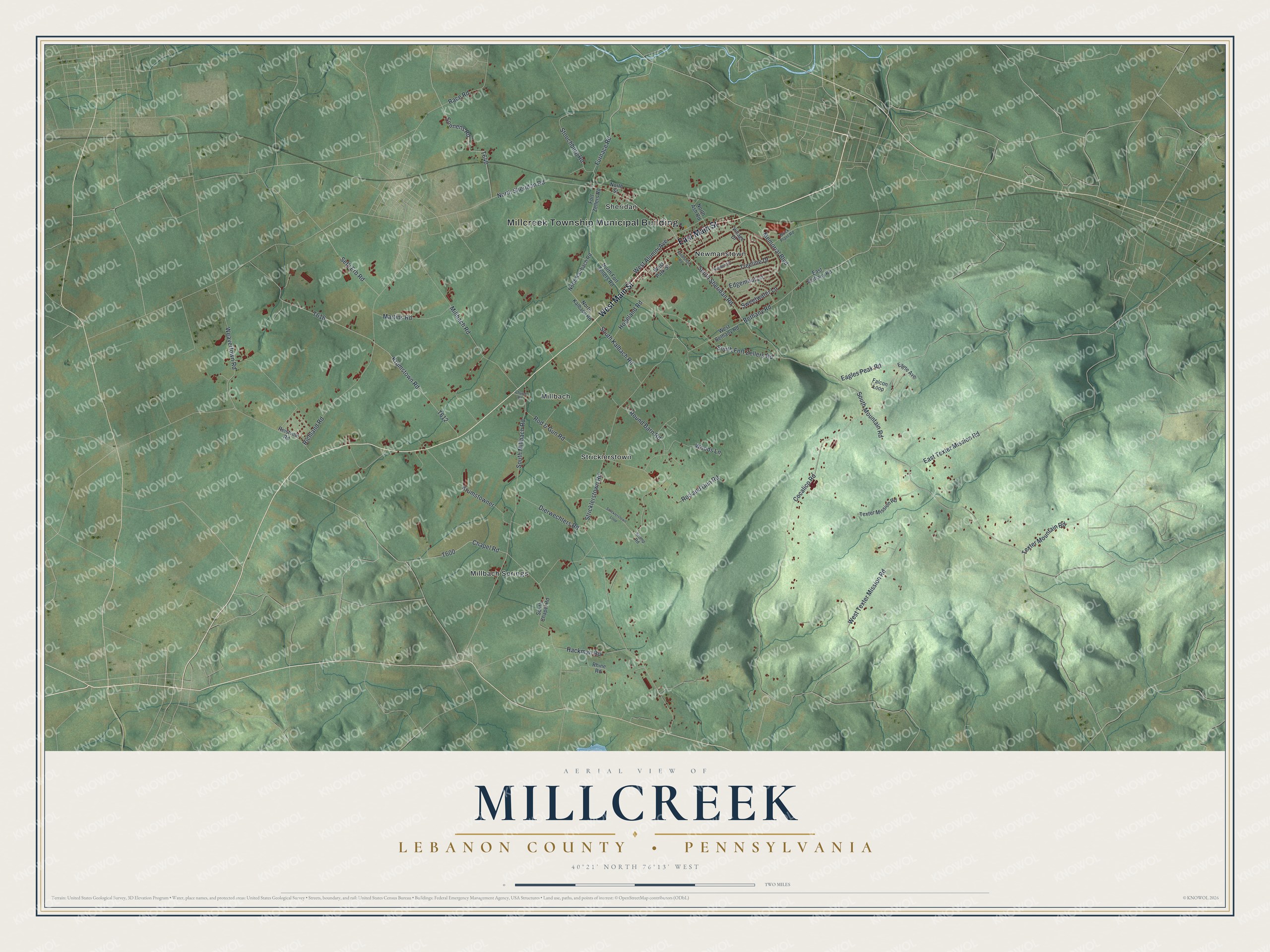
This beautifully detailed map of Millcreek, Lebanon County, Pennsylvania was created in 2026 using aerial imagery combined with modern topographical, census, street and landmark data. It's a modern aerial view of Millcreek, Lebanon County in Lebanon County, Pennsylvania, that combines modern data with a vintage aesthetic. The roads feature printed names, and if you look closely you can find your exact house accurately shown in its correct location.
Explore an aerial view of Millcreek, Lebanon County, Pennsylvania
On this map you'll find Millcreek Township Municipal Building, Millbach, Millbach Springs, Newmanstown, Sheridan, Stricklerstown, West Main Street, East Main Street, Furnace Road, North Sheridan Road, Millbach Road, South Sheridan Road, and more. Each red shape is a building, so zoom in on the preview and look for yours.
Millcreek, Lebanon County has a story worth telling. The Pennsylvania Historical and Museum Commission puts it this way: "The State's oldest existing fort is half a mile to the north. Pioneers who came to the Tulpehocken from the Schoharie valley built it in 1723, rebuilt it in 1745. It was used as a place of refuge during Indian wars."
Millcreek, Lebanon County is a place in Lebanon County. The Census Bureau counted 4,368 people here in 2020.
Take a closer look at the Millcreek, Lebanon County map
Names on this map
These names are printed on this map.
Places: Millcreek Township Municipal Building, Millbach, Millbach Springs, Newmanstown, Sheridan and Stricklerstown.
Streets and roads: West Main Street, East Main Street, Furnace Road, North Sheridan Road, Millbach Road, South Sheridan Road, South Mountain Road, Sonnens Road, Bethany Road, South Fort Zellers Road, Race Road, Weavertown Road.
More street names, A to Z
Brick Plant Road, Chapel Road, Church Road, Cocalico Road, Dierwechters Road, Eagle Avenue, Eagles Peak Road, East Bethany Road, East Texter Mission Road, Edgemont Lane, Falcon Loop, Fort Zellers Road, Hackman Road, Hogeland Road, Krumstowner, Krumstown Road, Martins Road, Memorial Boulevard, Newburg Drive, North Ash Road, North Fort Zellers Road, North Kalbach Road, North Kaubach Road, North Street, Reistville Road, Rhine Road, Richland Road, Rod & Gun Road, Rod and Gun Road, Round Barn Road, Seth Erb Road, South Chapel Road, South Kalbach Road, South Millbach Road, Sportsman Road, Stouchburg Road, Stricklerstown Loop, Stricklerstown Road, Stump Road, Sweetwater Lane, Texter Mission Road, Texter Mountain Road, Treeline Drive, Village Drive, West Alumni Avenue, West Bethany Road, West Park Street, West Texter Mission Road, Woods Lane.
Created by KNOWOL in 2026. The buildings are small red shapes, the roads carry their printed names, and shaded relief shows the shape of the land. The title panel reads "AERIAL VIEW OF MILLCREEK LEBANON COUNTY • PENNSYLVANIA" with 4, 0, °, 2, 1, ', , N, O, R, T, H, , 7, 6, °, 1, 3, ', , W, E, S, T.
It looks right in a kitchen, an office or a den, and it's a gift for anyone who grew up in Millcreek, Lebanon County or moved away. Open the preview and find your street. See sizes and frames for the Millcreek, Lebanon County map.