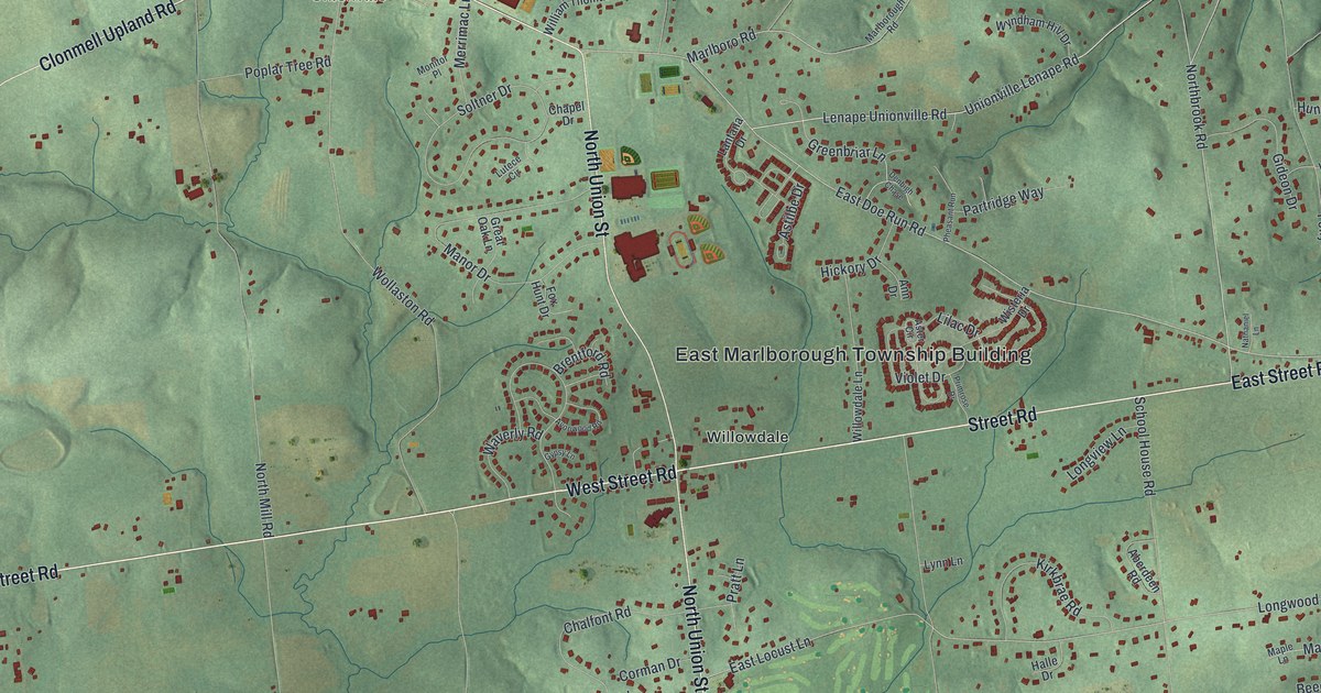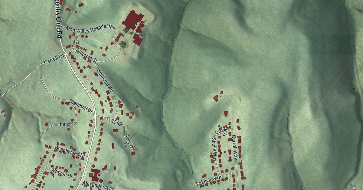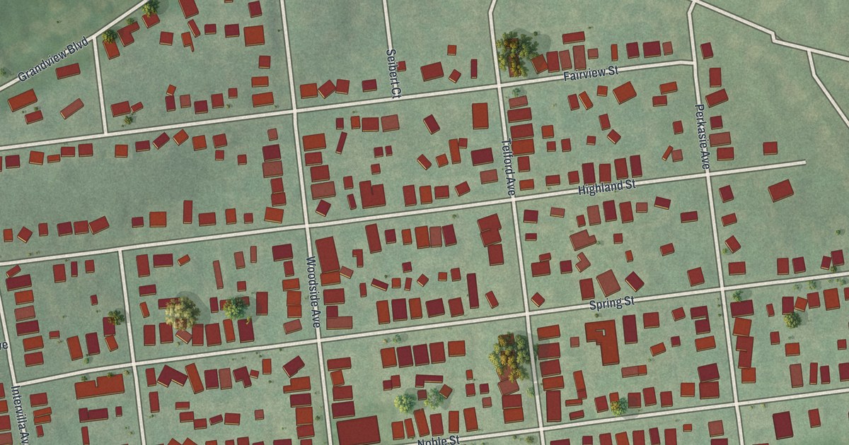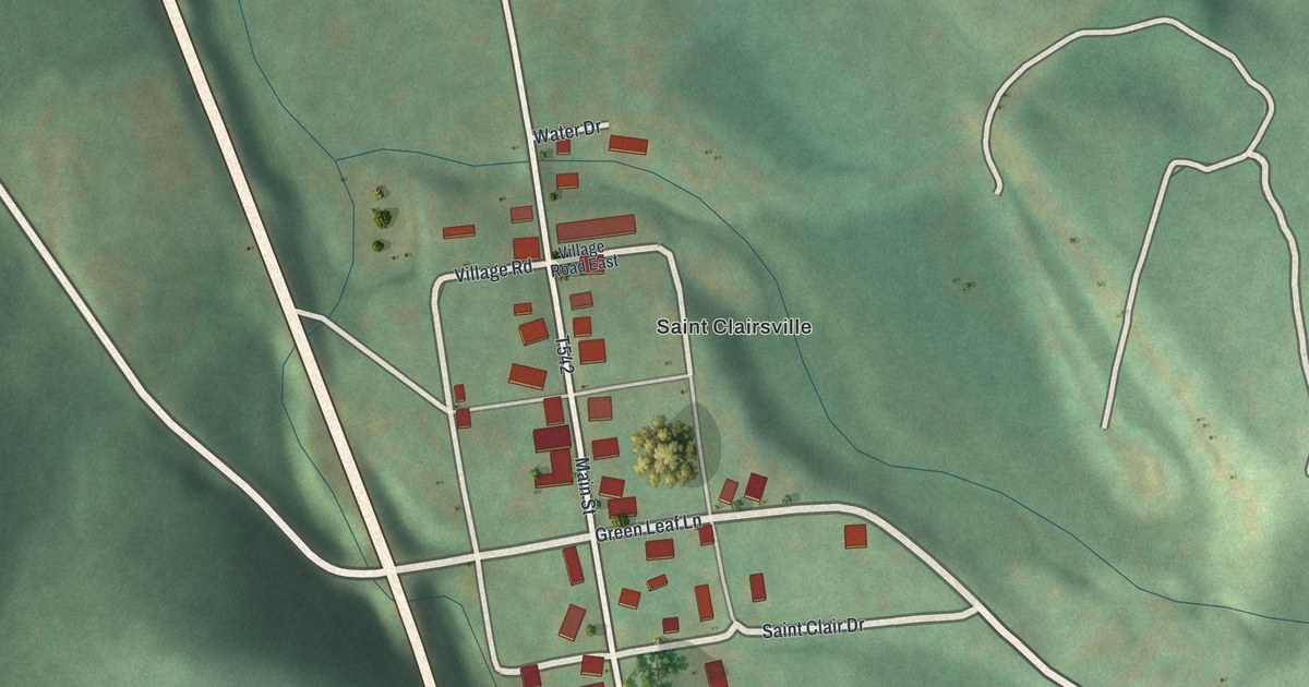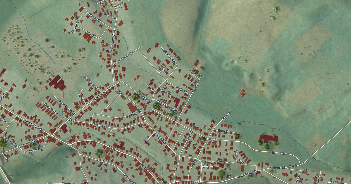
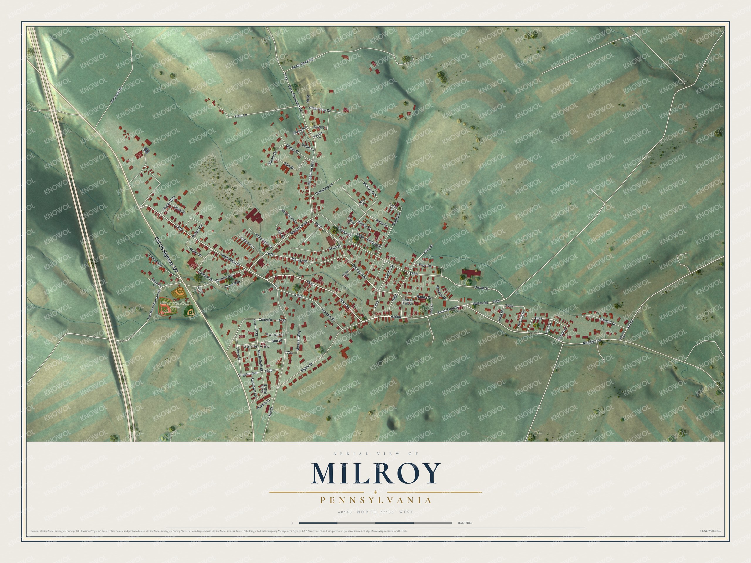
This beautifully detailed map of Milroy, Pennsylvania was created in 2026 using aerial imagery combined with modern topographical, census, street and landmark data. It's a modern aerial view of Milroy in Mifflin County, Pennsylvania, that combines modern data with a vintage aesthetic. The roads feature printed names, and if you look closely you can find your exact house accurately shown in its correct location.
Explore an aerial view of Milroy, Pennsylvania
On this map you'll find Garden View, Roseann, Milroy Baseball Fields, Old US Highway 322, Main Street, North Main Street, T821, Mechanic Street, South Main Street, Woodlawn Avenue, T819, A1088, and more. Each red shape is a building, so zoom in on the preview and look for yours.
Milroy is a community in Mifflin County. The Census Bureau counted 1,550 people here in 2020. Milroy sits about 2 miles north of Church Hill, 3 miles west of Siglerville and 4 miles north of Reedsville. The map prints the town name in its title panel, with the coordinates below it.
Take a closer look at the Milroy map
Names on this map
These names are printed on this map.
Places: Garden View, Roseann and Milroy Baseball Fields.
Streets and roads: Old US Highway 322, Main Street, North Main Street, Mechanic Street, South Main Street, Woodlawn Avenue, Liane Street, Cindy Drive, Second Street, Randa Drive, Broad Street, North Ruth Street.
More street names, A to Z
Acacia Court, Andrew Street, Anita Street, Auto Parts Drive, Back Mountain Road, Buzz Drive, Cabinet Drive, Cemetery Lane, Center Street, Chance Lane, Clear View Drive, Clover Street, College Avenue, College Park Lane, Colonel Lane, Corner Street, Duck Lane, East Back Mountain Road, Electric Avenue, Elm Street, Fayler Way, Field Lane, First Street, Fisher Lane, Fourth Street, Hill Street, Houser Lane, Jean Lane, Kacy Lane, King Street, Lanny Lane, Laurel Avenue, Leland Drive, Lilac Street, Maclay Street, Manor Drive, Maple Street, McCoy Avenue, Mobile Lane, Naginey Road, Orner Avenue, Pit Street, Pleasant Drive, Randall Drive, Reed Street, Rodney Street, Ruth Street, Ryans Circle, Salem Road, Shafranich Lane, Shale Bank Road, Shawna Drive, Sigler Street, Siglerville Pike, South Ruth Street, Sue Street, Sundown Lane, Third Street, Virginia Avenue, Water Street, Wayside Lane, Weaver Way, White Birch Drive, Willards Way, Willow Street.
See it on a wall
The Milroy map as a framed print. Swipe for more.


Created by KNOWOL in 2026. The buildings are small red shapes, the roads carry their printed names, and shaded relief shows the shape of the land. The title panel reads "AERIAL VIEW OF MILROY, PENNSYLVANIA" with 40°43' NORTH 77°35' WEST.
It suits a den, a classroom or a front hall, and it makes a gift for anyone with Milroy roots. Open the preview and find the block you know. See sizes and frames for the Milroy map.