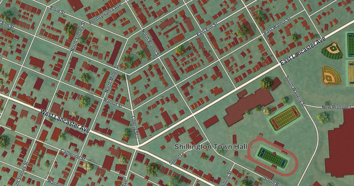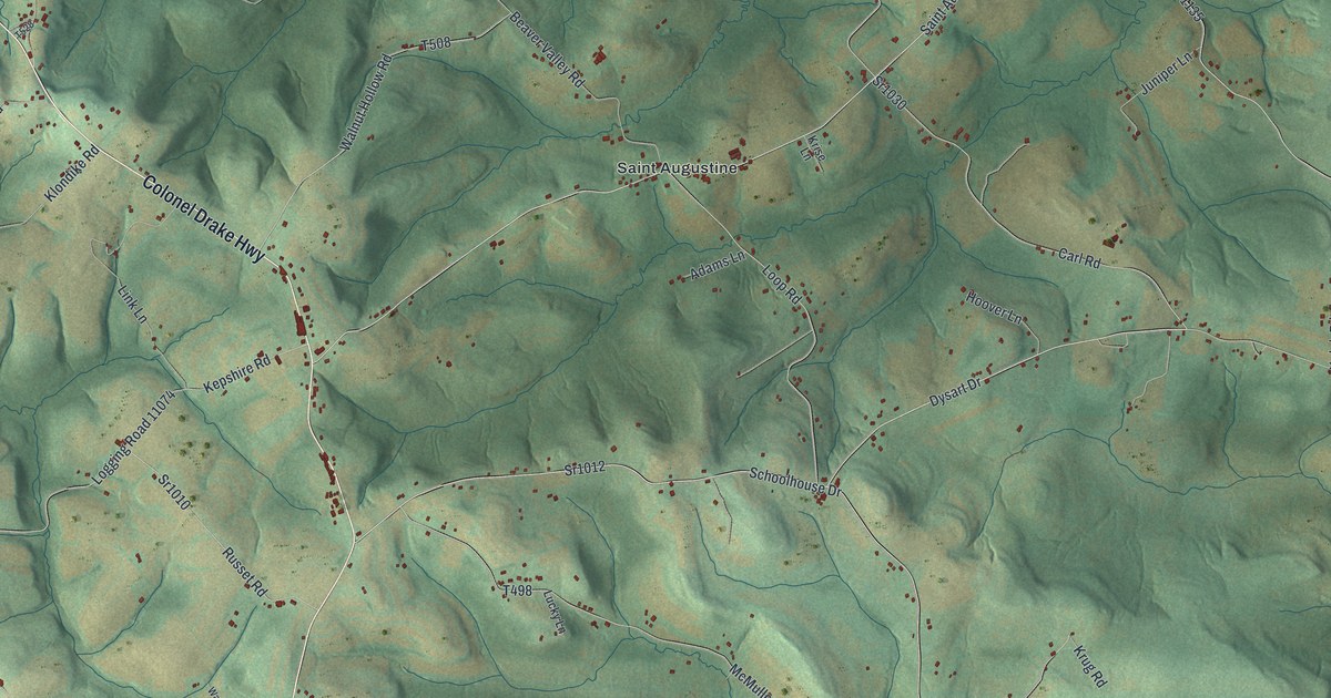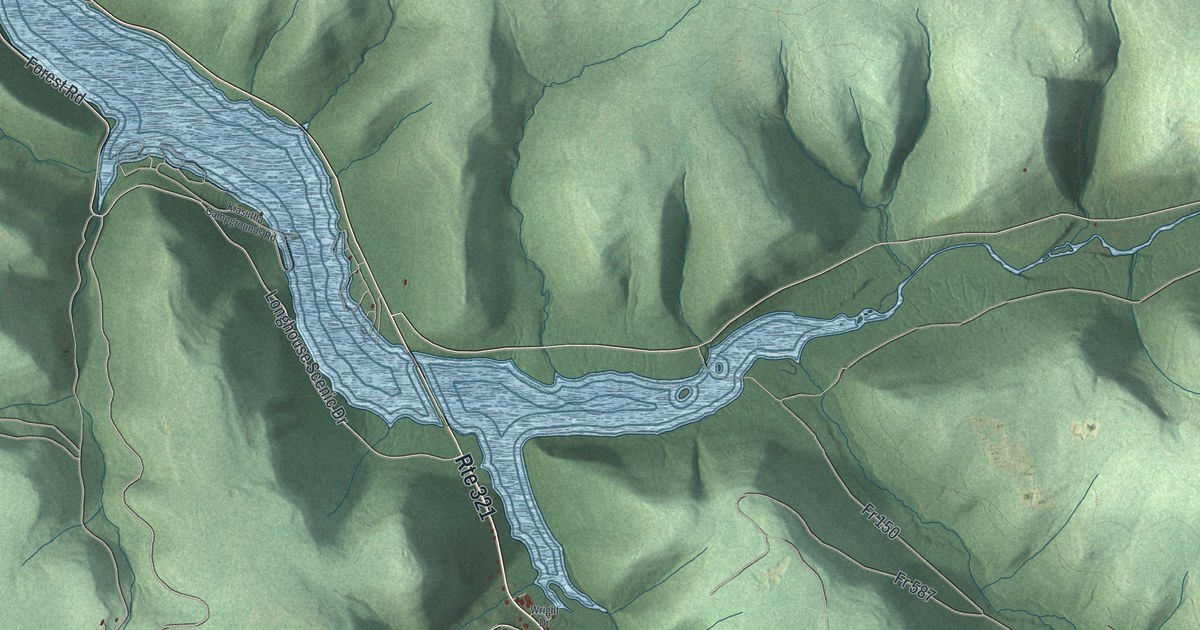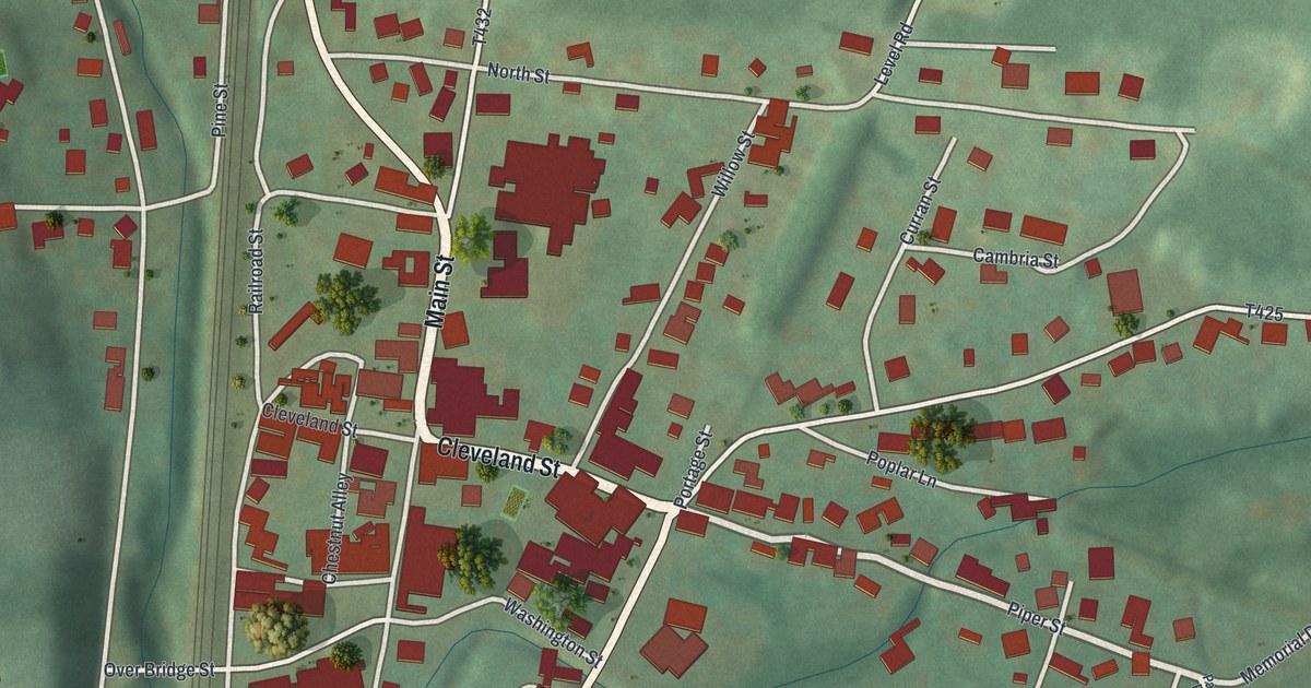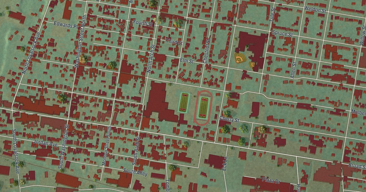
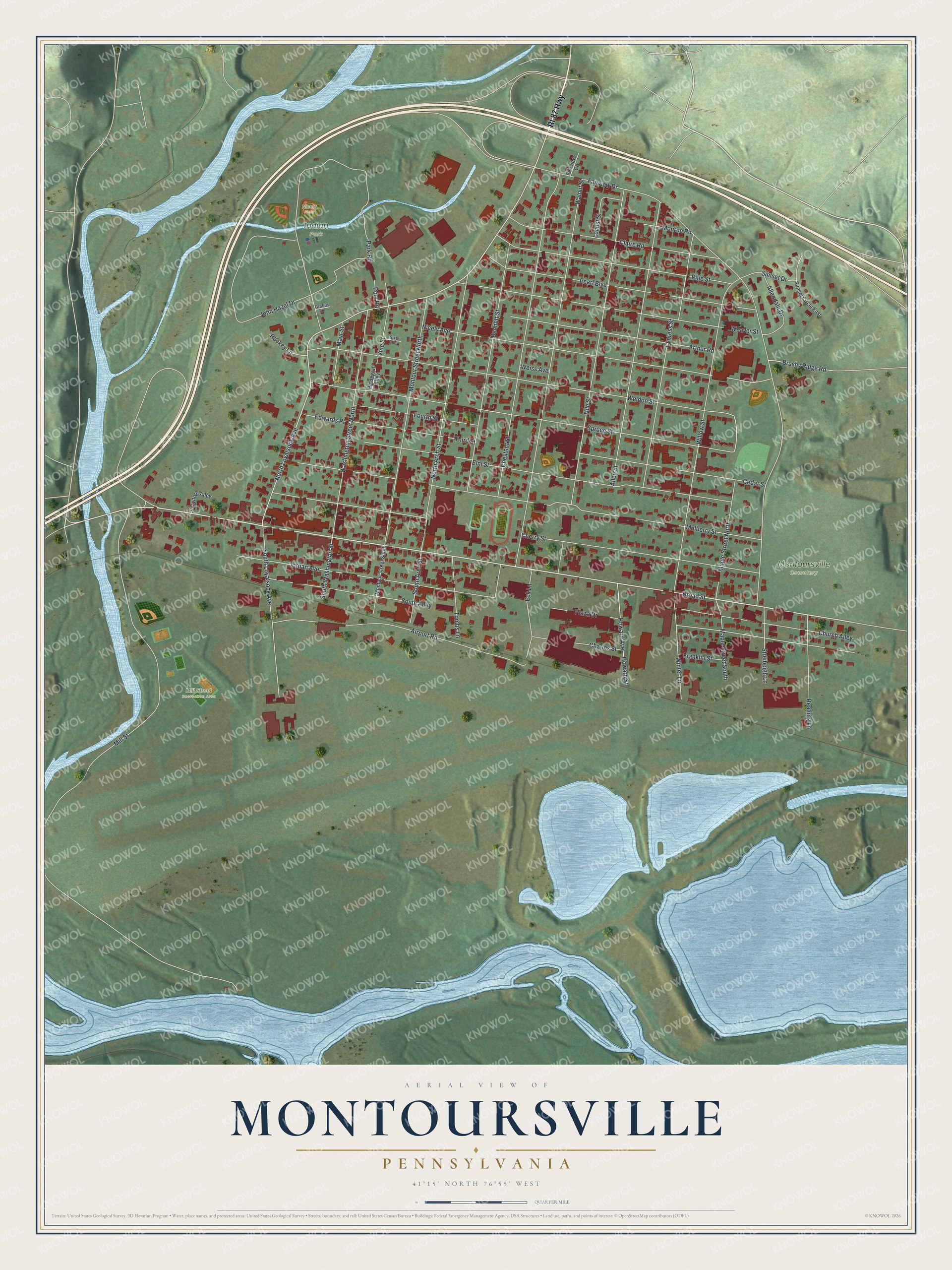
This beautifully detailed map of Montoursville, Pennsylvania was created in 2026 using aerial imagery combined with modern topographical, census, street and landmark data. It's a modern aerial view of Montoursville in Lycoming County, Pennsylvania, that combines modern data with a vintage aesthetic. The roads feature printed names, and if you look closely you can find your exact house accurately shown in its correct location.
Explore an aerial view of Montoursville, Pennsylvania
On this map you'll find Indian Park, Mill Street Recreation Area, Montoursville Cemetery, Nicely Field, Broad Street, North Loyalsock Avenue, Maple Street North, Mill Street, Fairview Drive, Mulberry Street, Jordan Avenue, Weldon Street, and more. Each red shape is a building, so zoom in on the preview and look for yours.
Every town has a first chapter, and Montoursville is no exception. The Internet Archive puts it this way: "I could not get
a bushel chopped for distilling, there being no mill in the neighborhood but Shoemaker's, and
it was so nearly frozen up that it could grind but very little for the people for bread."
Montoursville is a borough in Lycoming County. The Census Bureau counted 4,750 people here in 2020.
Take a closer look at the Montoursville map
Names on this map
These names are printed on this map.
Places: Indian Park, Mill Street Recreation Area, Montoursville Cemetery and Nicely Field.
Streets and roads: Rt 87 Highway, Broad Street, North Loyalsock Avenue, Maple Street North, Mill Street, Fairview Drive, Mulberry Street, Jordan Avenue, Weldon Street, Spruce Street, Cherry Street, Walnut Street.
More street names, A to Z
Airport Road, Allendale Drive, Allen Street, Arthur Road, Bennett Street, Brushy Ridge Road, Cedar Street, Charles Street, Chestnut Street, Church Alley, Claire Road, Crawford Alley, Cypress Street, Eck Lane, Edwards Place, Elm Street, Fairview Court, Fourth Street, Franklin Street, Grafius Lane, Howard Avenue, Howard Street, John Hazel Drive, Locust Street, Maple Street South, Mayr Street, Monroe Road, Montour Street North, Montour Street South, Nicely Avenue, North Arch Street, Park Road, Pearl Boulevard, Pine Street, Plaza Drive, Pledegraf Alley, Pool Road, Reading Lane, Rockey Lane, Sixth Alley, South Alley, South Arch Street, South Loyalsock Avenue, South Washington Street, Streibeigh Lane, Sunset Circle East, Sunset Drive, Third Street, Tombs Lane, Tule Street, Vine Street, Washington Street North, Weaver Street, Weiss Avenue, Willow Street, Winter Lane.
Created by KNOWOL in 2026. The buildings are small red shapes, the roads carry their printed names, and shaded relief shows the shape of the land. The title panel reads "AERIAL VIEW OF MONTOURSVILLE PENNSYLVANIA" with 4, 1, °, 1, 5, ', , N, O, R, T, H, , 7, 6, °, 5, 5, ', , W, E, S, T.
Hang it in the hallway, the office or the cabin, or give it to someone who left Montoursville and still calls it home. Open the preview and look for a street you know. See sizes and frames for the Montoursville map.