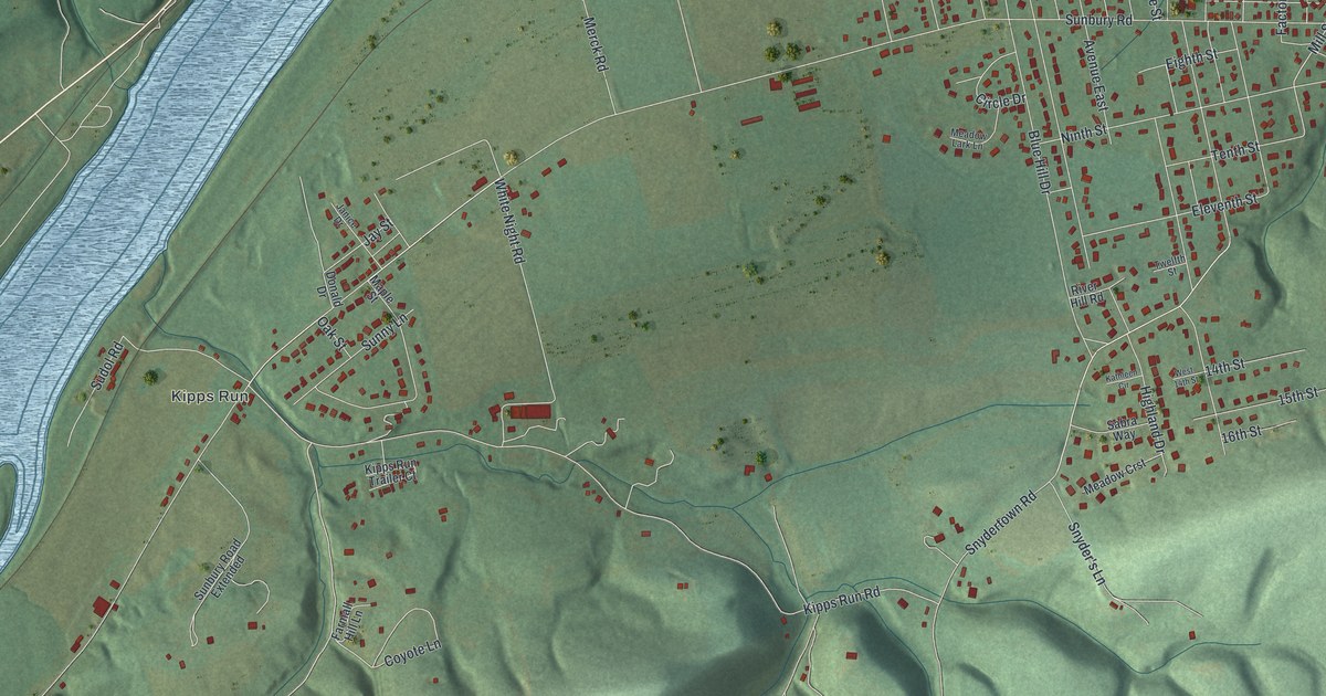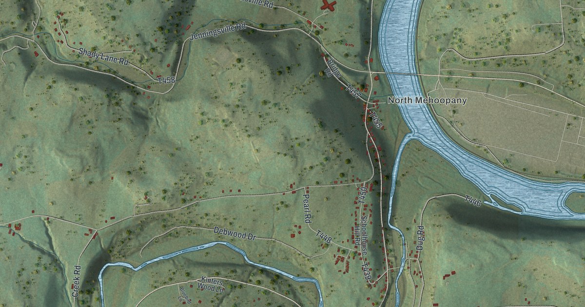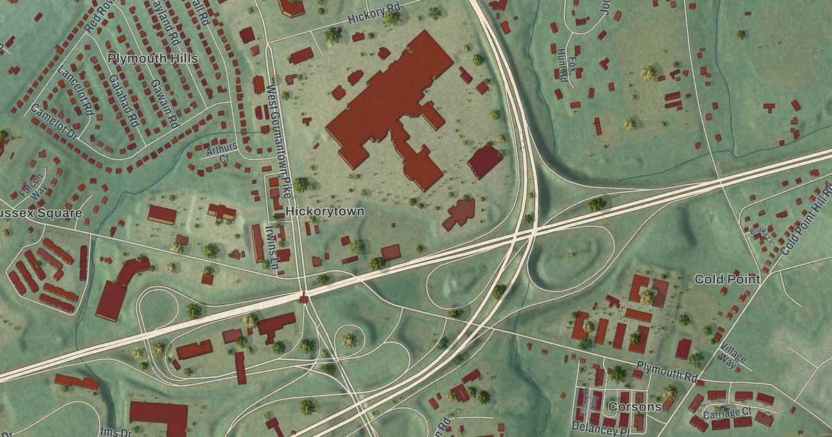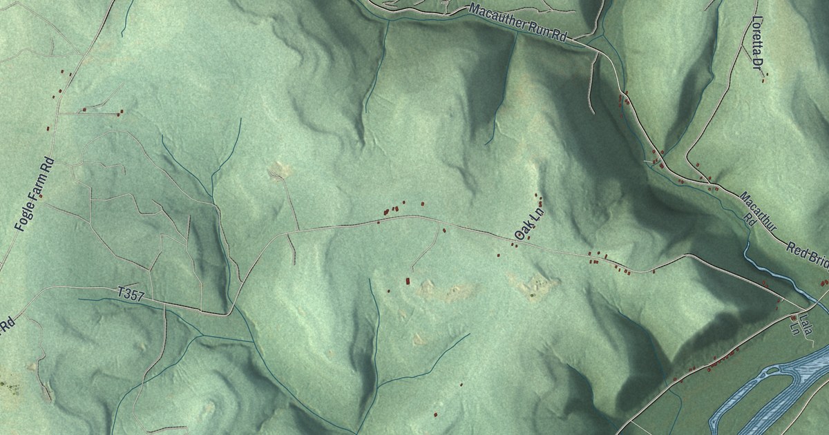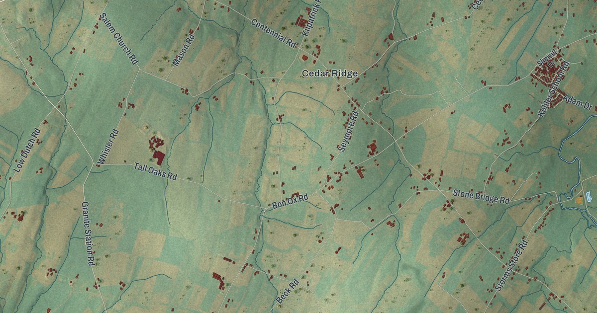
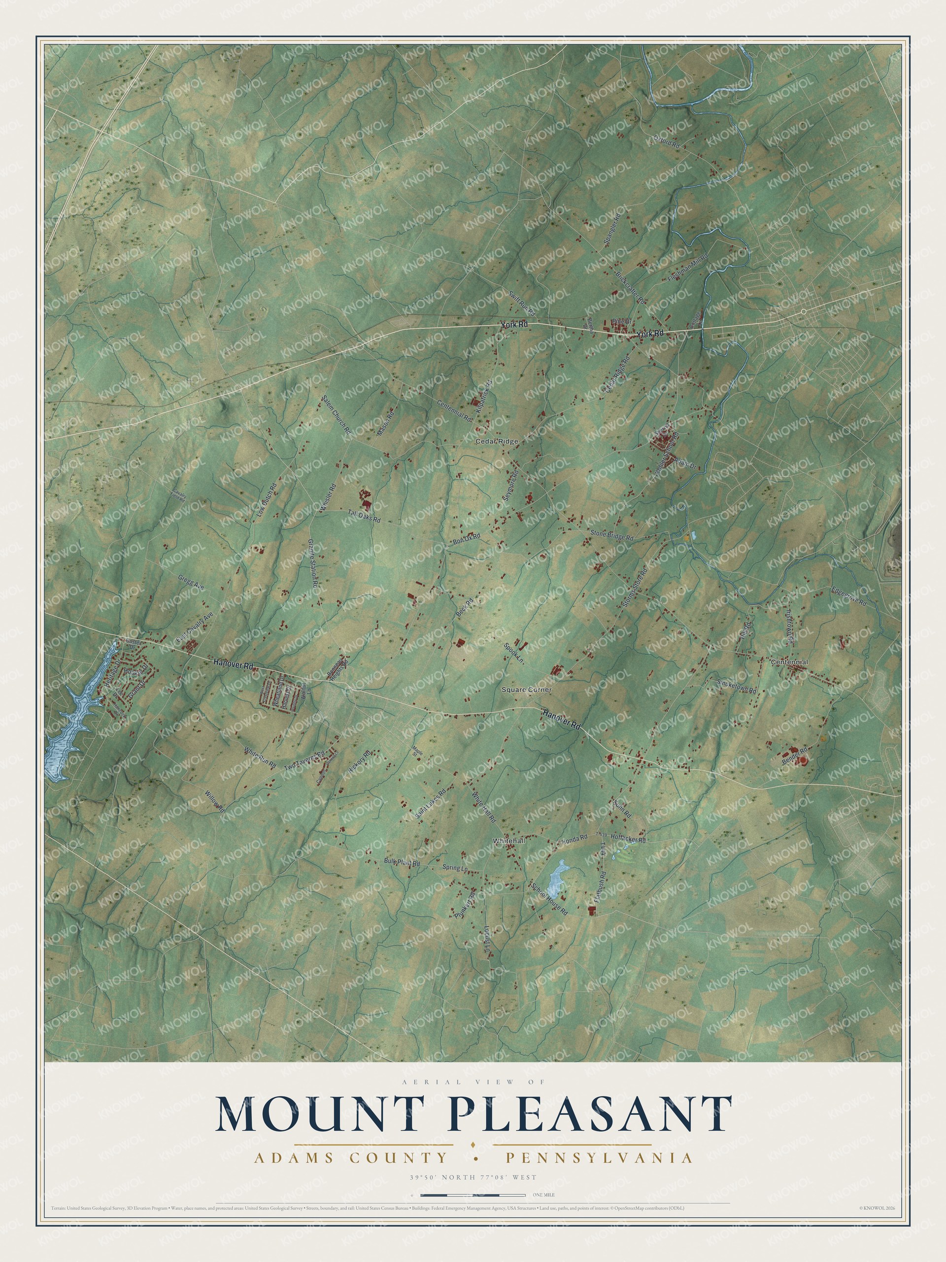
This beautifully detailed map of Mount Pleasant, Adams County, Pennsylvania was created in 2026 using aerial imagery combined with modern topographical, census, street and landmark data. It's a modern aerial view of Mount Pleasant, Adams County in Adams County, Pennsylvania, that combines modern data with a vintage aesthetic. The roads feature printed names, and if you look closely you can find your exact house accurately shown in its correct location.
Explore an aerial view of Mount Pleasant, Adams County, Pennsylvania
On this map you'll find Cedar Ridge, Centennial, Square Corner, Whitehall, York Road, Hanover Road, Granite Station Road, Two Taverns Road, Centennial Road, Bon Ox Road, Low Dutch Road, Storms Store Road, and more. Each red shape is a building, so zoom in on the preview and look for yours.
Here is a piece of Mount Pleasant, Adams County history, in the words of the record. The Mount Pleasant Township puts it this way: "By the time the newly elected commissioners of the newly established York County met in December 1749 to levy taxes for the following year, there were ten established townships in the new county; Mount Pleasant township was among them. Thus, Mount Pleasant township was created during the year 1749."
Mount Pleasant, Adams County is a place in Adams County. The Census Bureau counted 4,666 people here in 2020.
Take a closer look at the Mount Pleasant, Adams County map
Names on this map
These names are printed on this map.
Places: Cedar Ridge, Centennial, Square Corner and Whitehall.
Streets and roads: York Road, Hanover Road, Granite Station Road, Two Taverns Road, Centennial Road, Bon Ox Road, Low Dutch Road, Storms Store Road, Honda Road, Fleshman Mill Road, White Hall Road, Locust Lane.
More street names, A to Z
Adam Drive, Beck Road, Bender Road, Bertha Drive, Bonneau Heights Road, Brickcrafter Road, Bulk Plant Road, Cannon, Cannon Lane, Cavalry Field Road, Cedar Ridge Road, Cottage Lane, Country Drive, Custer Drive, East Cavalry Avenue, Edgegrove Road, Flatbush Road, Grant Drive, Gregg Avenue, Hancock Drive, Harvest Drive, Heritage Drive, Hickory Road, Hill Road, Hoffacker Road, Hooker Drive, Irishtown Road, Kilpatrick Road, Kohler School Road, Kuhn Road, Lee Drive, Maple Street, Mason Road, Oxford Road, Pine Drive, Plunkert Road, Saint Lukes Road, Salem Church Road, School House Road, Seymore Road, Sherrill Drive, Smoketown Road, Spangler Road, Spook Lane, Spring Lane, Stone Bridge Road, Swift Run Road, T-439, Tall Oaks Road, Walnut Lane, West Crestview Lane, Wheatland Drive, Whisler Road, White Run Road, Willow Road.
Created by KNOWOL in 2026. The buildings are small red shapes, the roads carry their printed names, and shaded relief shows the shape of the land. The title panel reads "AERIAL VIEW OF MOUNT PLEASANT ADAMS COUNTY • PENNSYLVANIA" with 3, 9, °, 5, 0, ', , N, O, R, T, H, , 7, 7, °, 0, 8, ', , W, E, S, T.
It suits a den, a classroom or a front hall, and it makes a gift for anyone with Mount Pleasant, Adams County roots. Open the preview and find the block you know. See sizes and frames for the Mount Pleasant, Adams County map.