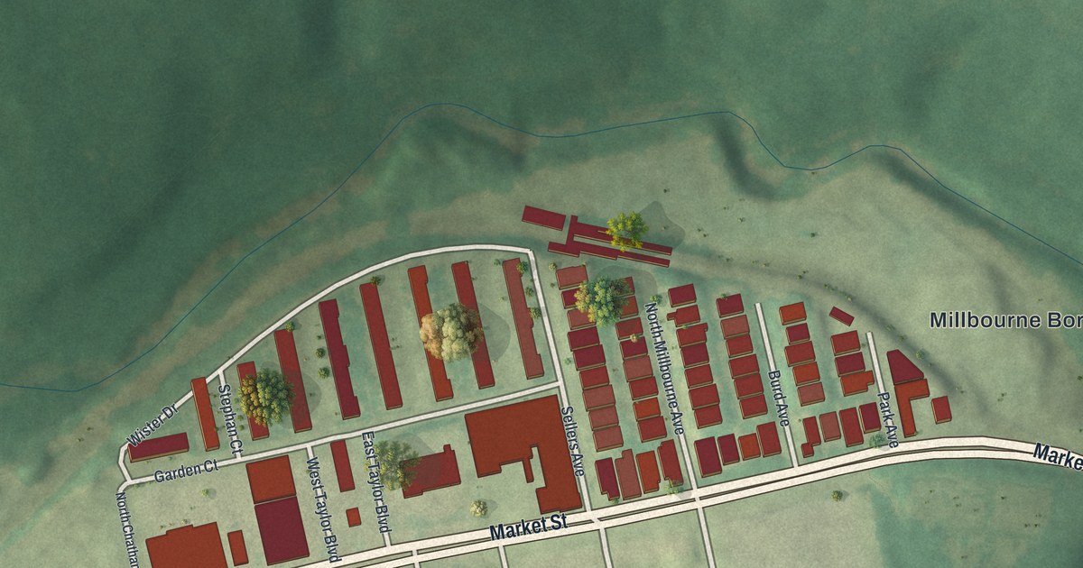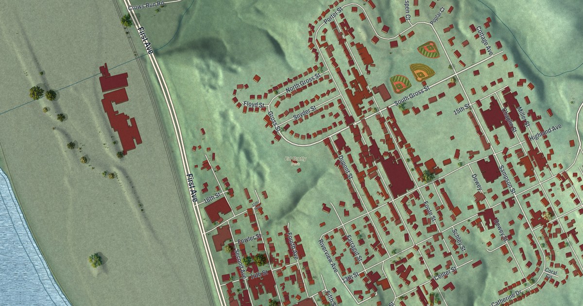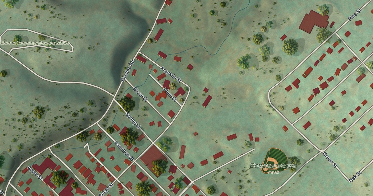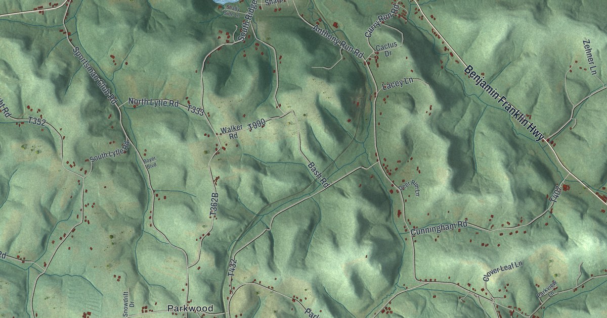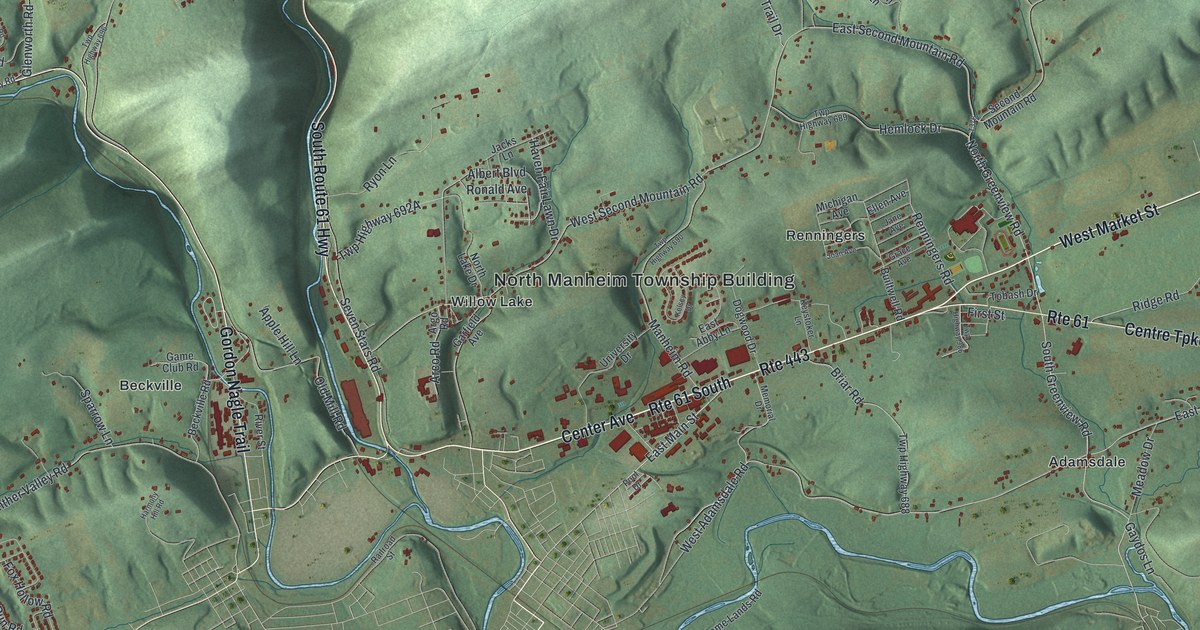
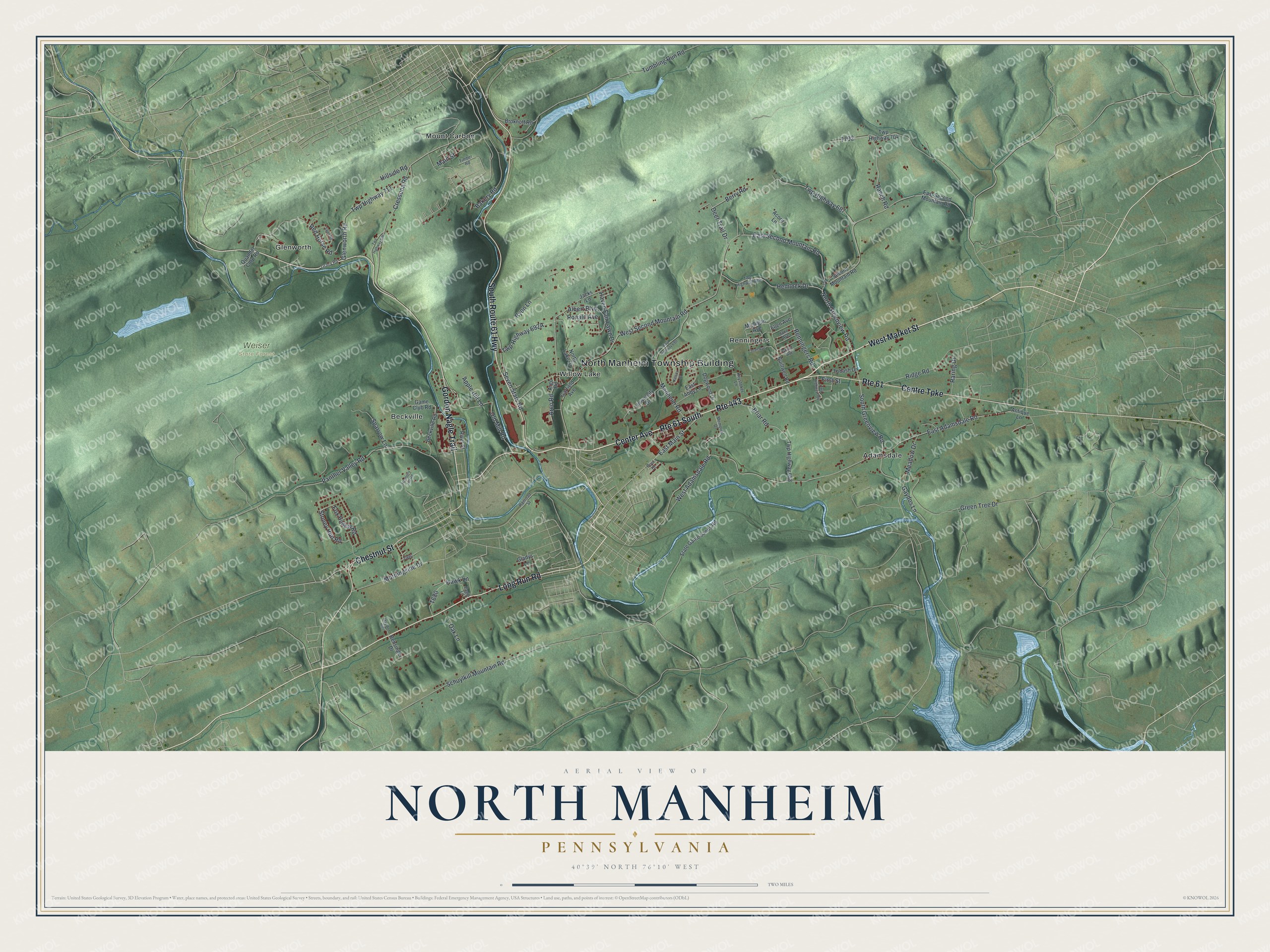
This beautifully detailed map of North Manheim, Pennsylvania was created in 2026 using aerial imagery combined with modern topographical, census, street and landmark data. It’s a one-of-a-kind view of North Manheim that combines accurate data with a vintage aesthetic. The map shows every building in its true location, many of the roads carry their names, and the shaded topographic relief shows the shape of the land.
Explore an aerial view of North Manheim, Pennsylvania
On the map you’ll find North Manheim Township Building, Weiser State Forest, Adamsdale, Beckville, Glenworth, Mount Carbon, Renningers, and Willow Lake, along with Long Run Road, West Market Street, Center Avenue, South Route 61 Highway, and more. If you look closely you can even find your house accurately drawn in its correct location. Zoom in on the preview to look for yours.
Did you know this piece of North Manheim, Pennsylvania history?
From the 1881 History of Schuylkill County, Pennsylvania: "The largest land owner in the western part of the township was Valentine Trace, now called Dress by all the descendants living in this county."
Take a closer look at the North Manheim map
Street and place names on the North Manheim, Pennsylvania map
These names are printed on the map of North Manheim, Pennsylvania.
Places: North Manheim Township Building, Weiser State Forest, Adamsdale, Beckville, Glenworth, Mount Carbon, Renningers and Willow Lake.
Streets and roads: Long Run Road, West Market Street, Route 443, Route 61 South, Center Avenue, South Route 61 Highway, Centre Turnpike, Chestnut Street, Gordon Nagle Trail, Route 61, East Main Street, Main Street.
More street names, A to Z
Acorn Lane, Albert Boulevard, Antique Lane, Apple Hill Lane, Arco Road, Argo Road, Bakery Road, Beckville Road, Bensinger Drive, Berry Road, Briar Road, Brokhoff Road, Builtwell Road, Cressona Road, Deer Trail Drive, Dogwood Drive, Eagle Lane, East Abby Lane, East Adamsdale Road, East Second Mountain Road, Ellen Avenue, First Street, Fox Hollow Road, Game Club Road, Garfield Avenue, Gaydos Lane, Gladys Lane, Glenworth Road, Grace Avenue, Gracy Road, Green Tree Drive, Harmony Hill Road, Haven Fair Lawn Drive, Hawk Lane, Hemlock Drive, Hillside Road, Jacks Lane, Jane Avenue, Joan Avenue, Kelsey Drive, Keystoker Lane, Manheim Road, May Ann Hills, Meadow Drive, Memorial Drive, Michigan Avenue, Morningside Drive, North Greenview Road, North Lake Drive, Oak Lane, Old Mill Road, Panther Valley Road, Pool Drive, Quandel Corp Road, Railroad Street, Ranch Road, Raring Drive, Red Horse Road, Renningers Road, Ridge Road, River Street, Ronald Avenue, Ryon Lane, Sajer Road, Schuylkill Mountain Road, Second Mountain Road, Seven Stars Road, South Greenview Road, Sparrow Lane, State Game Lands Road, Stoney Run Road, Timber Road, Tobash Drive, Tumbling Run Road, Twp Highway 687, Twp Highway 688, Twp Highway 689, Twp Highway 690, Twp Highway 696, Twp Highway 704, Twp Highway 711, Twp Highway 986, University Drive, West Adamsdale Road, West Second Mountain Road.
See the North Manheim, Pennsylvania map on a wall
The North Manheim map as an 18 x 24 inch print in a black frame.

This beautifully detailed map of North Manheim makes an attractive addition to your office, library, or den, and it can even be used to teach children the geography and history of the area. It also makes a great gift for someone who left North Manheim and still calls it home. When you’re done exploring, click here to get your copy of the North Manheim map.