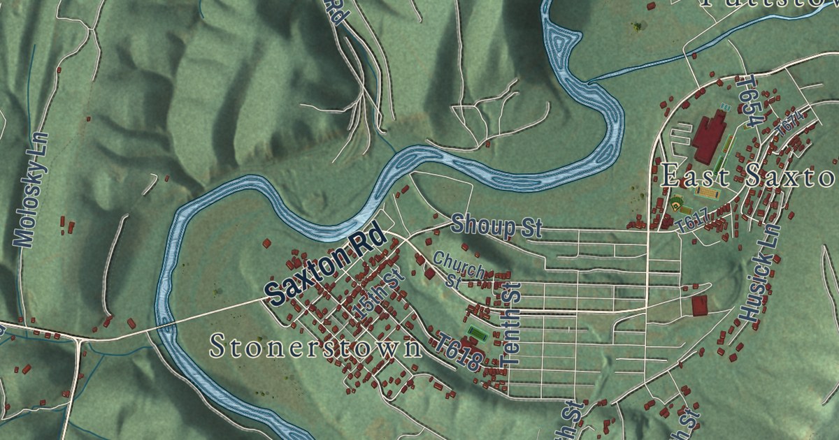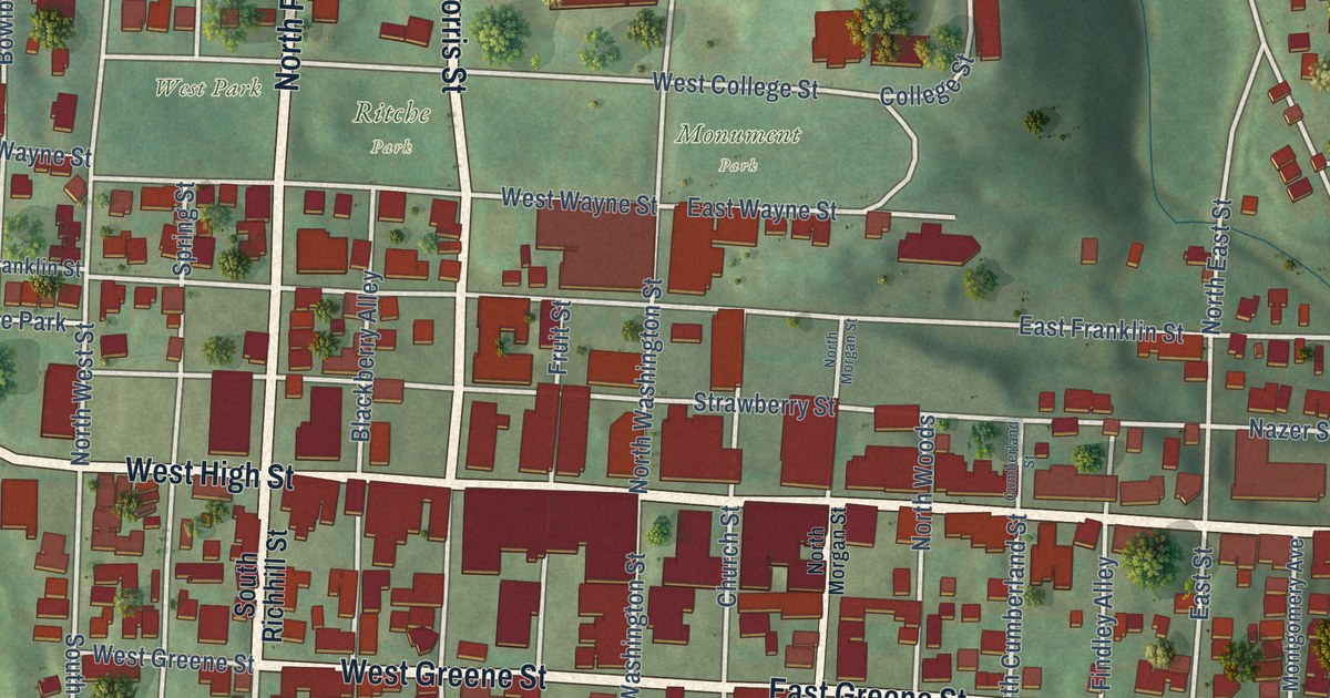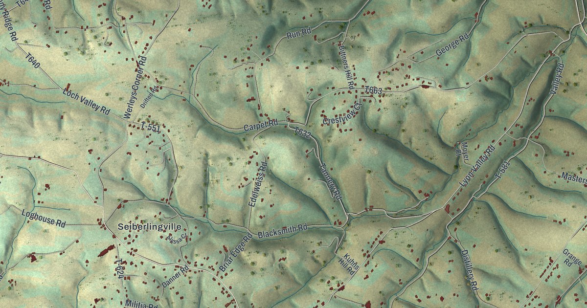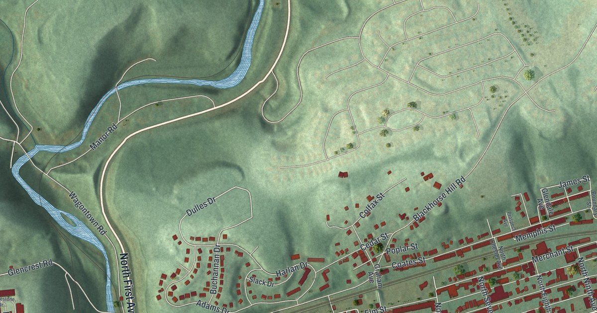
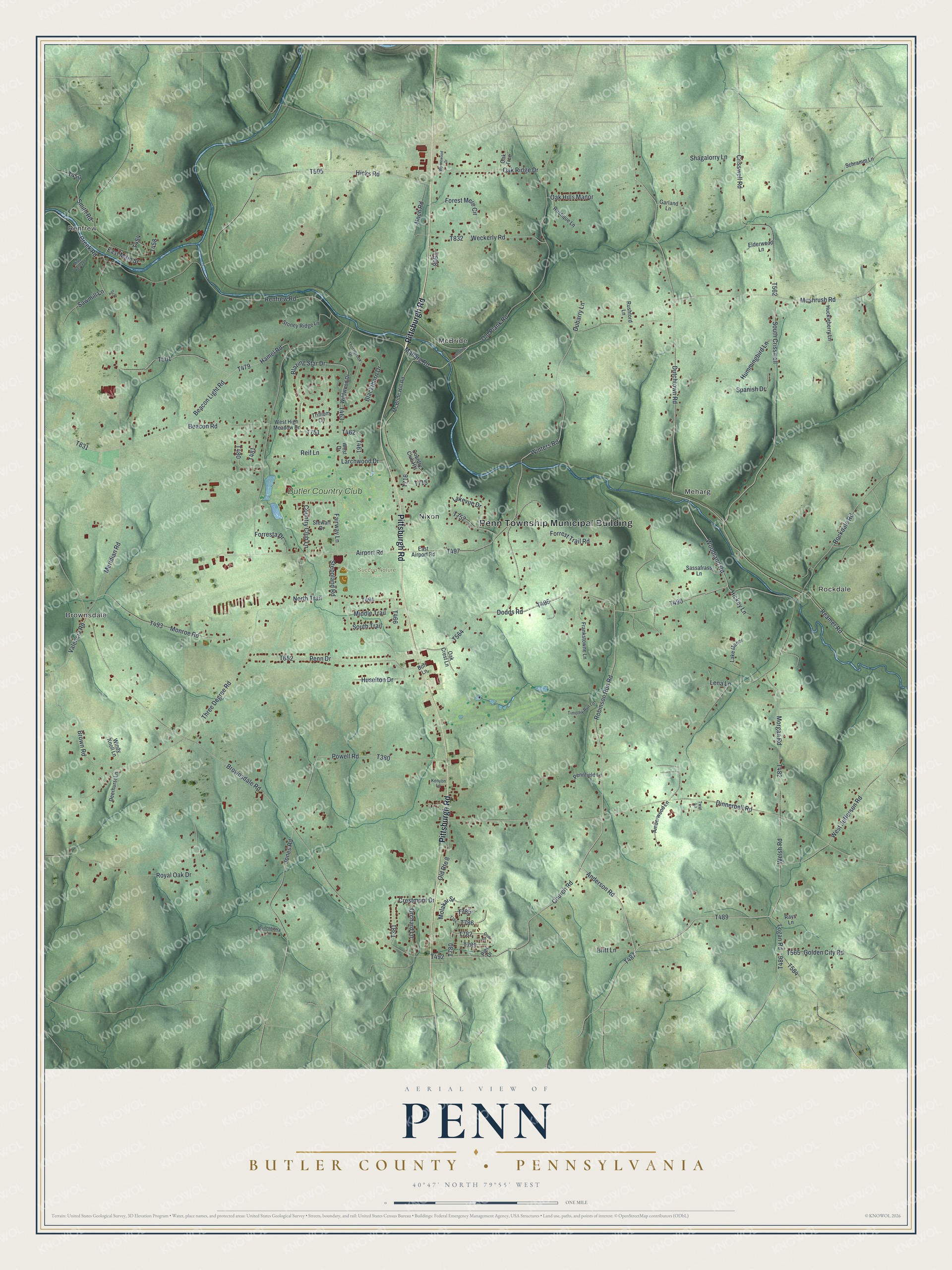
This beautifully detailed map of Penn, Butler County, Pennsylvania was created in 2026 using aerial imagery combined with modern topographical, census, street and landmark data. It’s a one-of-a-kind view of Penn that combines accurate data with a vintage aesthetic. The map shows every building in its true location, many of the roads carry their names, and the shaded topographic relief shows the shape of the land.
Explore an aerial view of Penn, Butler County, Pennsylvania
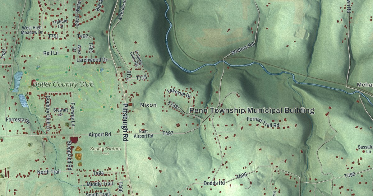
On the map you’ll find Penn Township Municipal Building, Renfrew, Brownsdale, Rockdale, Meharg, McBride, Succop Nature Park, Nixon, and Butler Country Club, along with Pittsburgh Road, Dodds Road, and more. If you look closely you can even find your house accurately drawn in its correct location. Zoom in on the preview to look for yours.
Did you know this piece of Penn, Butler County, Pennsylvania history?
From the History of Butler County: "The industries of Penn Township, excepting agriculture and the oil business, are not numerous nor extensive. The first saw-mill in the township was built by Moses Crispin on Thorn Creek about 1820."
Take a closer look at the Penn, Butler County map
Street and place names on the Penn, Butler County, Pennsylvania map
These names are printed on the map of Penn, Butler County, Pennsylvania.
Places: Penn Township Municipal Building, Renfrew, Brownsdale, Rockdale, Meharg, McBride, Succop Nature Park, Nixon and Butler Country Club.
Streets and roads: Pittsburgh Road, Dodds Road, Anderson Road, Woodland Road, Maharg Road, Logan Road, Robinson Run Road, Welsh Road, East Main Street, Valencia Road, Winters Road, Lakevue Drive.
More street names, A to Z
Ago Lane, Airport Road, Amberwood Lane, Beacon Light Road, Beacon Road, Blackthorn Drive, Blazing Star Drive, Boff Lane, Britt Lane, Brown Road, Brownsdale Road, Bunchberry Lane, Church Road, Country Club Heights, Country Club Lane, Cove Drive, Creek Road, Crestmont Drive, Crisswell Road, Deerhurst Lane, Dinnerbell Road, Dubarry Lane, Dutchtown Road, East Airport Road, Elderwood Lane, Fairway Lane, Forest Mere Circle, Forresta Drive, Forrest Trail Road, Frankstowne Lane, Garland Lane, Golden City Road, Hamel Road, Hickey Lane, Hicks Road, Hoch Road, Huckleberry Lane, Hummingbird Lane, Huselton Drive, Jones Road, Kenyon Lane, Lake Manor, Larchwood Drive, Lena Lane, McBride Hill Road, Meridian Road, Middle Trail, Misty Valley Lane, Molakai Street, Monroe Road, Morgan Road, Mushrush Road, North Trail, Oak Crest Lane, Oak Hills Manor, Oak Ridge Drive, Oak Trce, Old Plank Road, Old Route 8, Orchard Lane, Penn Drive, Pennfield Lane, Pier Drive, Powell Road, Rays Lane, Reamer Road, Reif Lane, Renfrew Road, Rockdale Road, Royal Oak Drive, Rushford Lane, Rustique Lane, Sassafrass Lane, Sawmill Lane, Schramm Lane, Shagalorry Lane, Smith Road, South Crisswell, South Trail, Spanish Drive, Steppland Road, Stewart Drive, Stoney Ridge Lane, Thornbrook Drive, Three Degree Road, Timothy Run Lane, Township Lane, Trillium Circle, Twin Lane, Weckerly Road, West Drive, West High Meadow Drive, West Jefferson Road, Wildwood Drive, Windy Knoll Lane, Wynnewood Drive.
See the Penn, Butler County, Pennsylvania map on a wall
The Penn, Butler County map as an 18 x 24 inch print in a black frame.

This beautifully detailed map of Penn, Butler County makes an attractive addition to your office, library, or den, and it can even be used to teach children the geography and history of the area. It also makes a great gift for anyone who grew up in Penn or moved away. When you’re done exploring, click here to get your copy of the Penn, Butler County map.