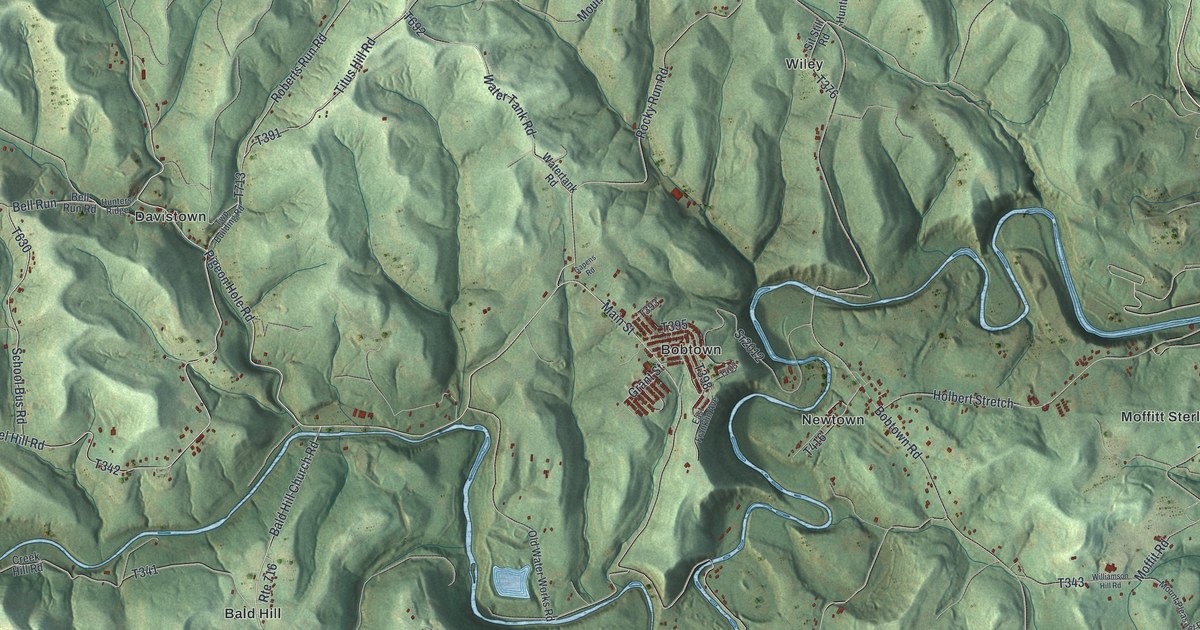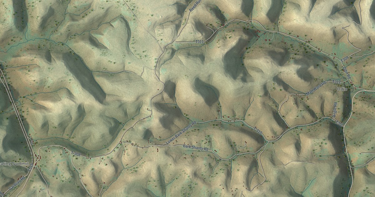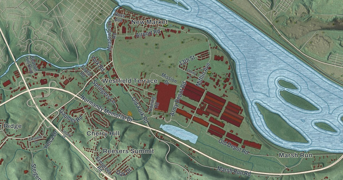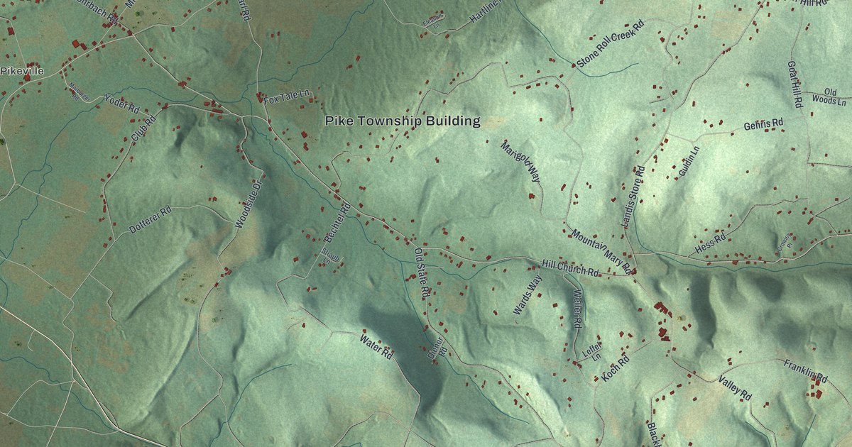
If you grew up along Hill Church Road, or you still have family in Pikeville or Lobachsville, this map covers home ground. It's a modern aerial view of Pike Township in Berks County, Pennsylvania, made from modern data and given a vintage look. Soft green hills fill the sheet, and small red buildings line the valley roads. The Pike Township Building sits near the middle. Pikeville and Lobachsville lie to the west, and Pine Waters sits up near the top. A thin blue creek winds in from the bottom left corner.
Hill Church Road, Pikeville and Lobachsville
Start at the Pike Township Building in the middle of the sheet. Hill Church Road runs right past it. Follow it east and down toward the bottom right corner. Along the way it meets Old State Road, Mountain Mary Road and Goat Hill Road. Near the end, Landis Store Road heads north and Franklin Road heads east. Valley Road and Blackberry Road sit just off Franklin Road in the far corner.
Now go back to the township building and take Oysterdale Road west to Pikeville. From Pikeville, Lobachsville Road runs north to Lobachsville on the left side of the sheet. Long Lane leaves Lobachsville and heads east, past Mill Road, up toward Pine Waters near the top. Many of the roads are labeled, and each red shape is a building, so zoom in on the preview and look for yours.
Why the Hill Church was called the corn church
St. John's Church has long been known as the Hill Church. It stands in the eastern part of Pike Township. The 1886 History of Berks County in Pennsylvania tells its story. In 1741, Lutheran families bought fifty acres on a high place of the mountain. In 1747 they put up a frame church. Its roof reached out past the walls to keep off storms. Early settlers hung their seed corn under that overhang. So people gave it a German nickname that meant the corn church.
Reformed neighbors helped build it, and later they shared it. In 1786 the two congregations built a stone church together. A third church went up in 1853. At a big festival there in 1866, Daniel Young played the organ. He had been the Hill Church organist fifty-three years before, and he was now over seventy. Follow Hill Church Road east from the township building and you're heading into the part of Pike where the book places the church. The same book calls Lobachsville the oldest hamlet in the township, named for its founder, Peter Lobach. The National Register lists the Hartman Cider Press on Keim Road, which runs down from the top right toward Oysterdale Road.
For someone who knows Hill Church Road
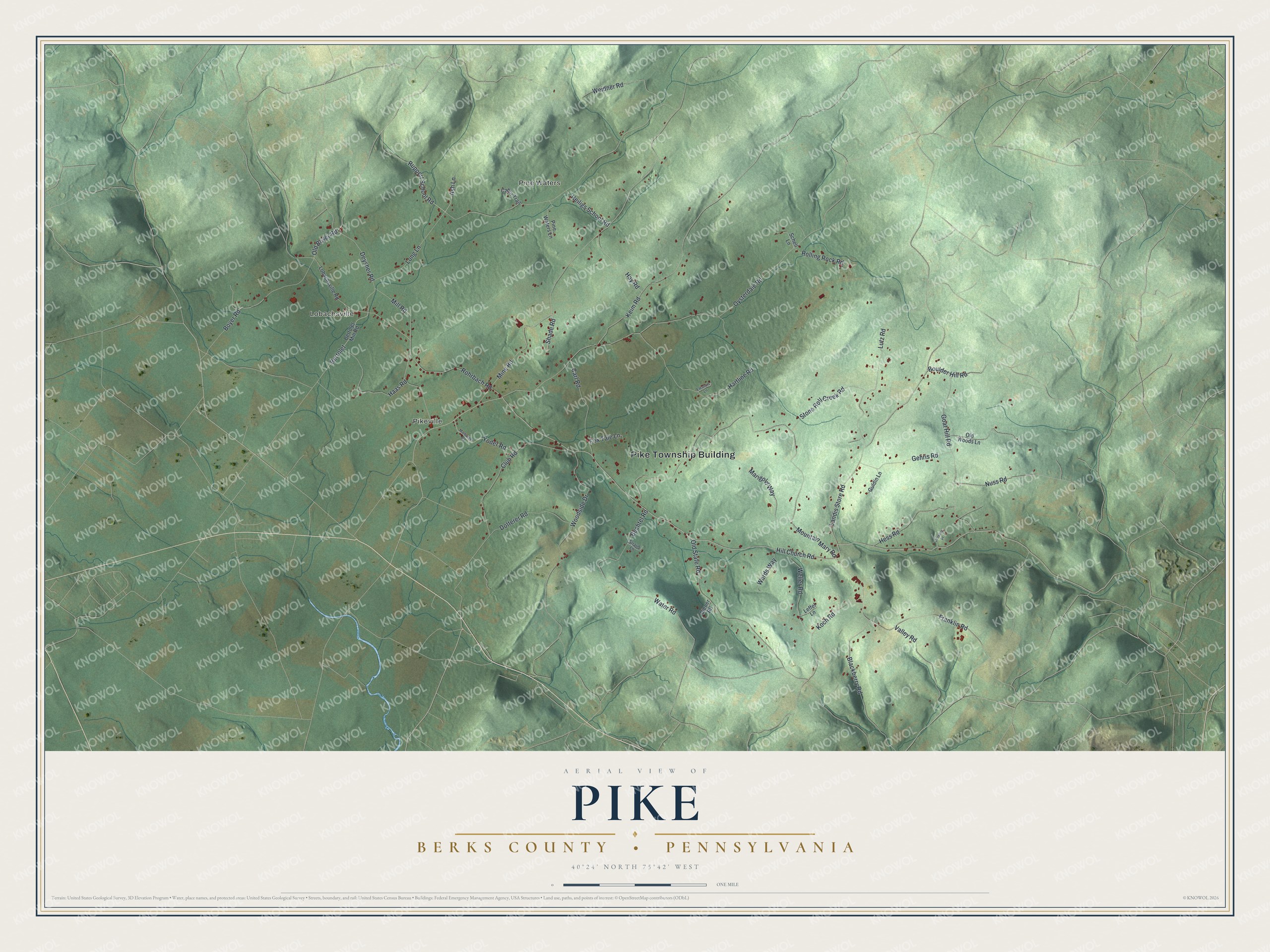
Created by KNOWOL in 2026, this Pike map shows the hills in soft shaded green, with each building marked in deep red. The shading comes from USGS elevation data. The title panel reads "Aerial View of Pike, Berks County, Pennsylvania," with the coordinates 40°24' North, 75°42' West and a one-mile scale bar.
It suits a farmhouse kitchen, a den or an office wall. It's a thoughtful gift for someone who grew up near the Hill Church or moved away from Lobachsville. Open the preview, zoom in and trace the road you know. See sizes and frames for the Pike, Berks County map.