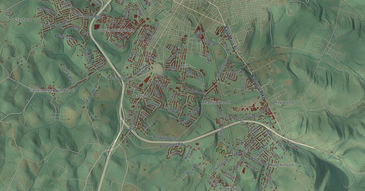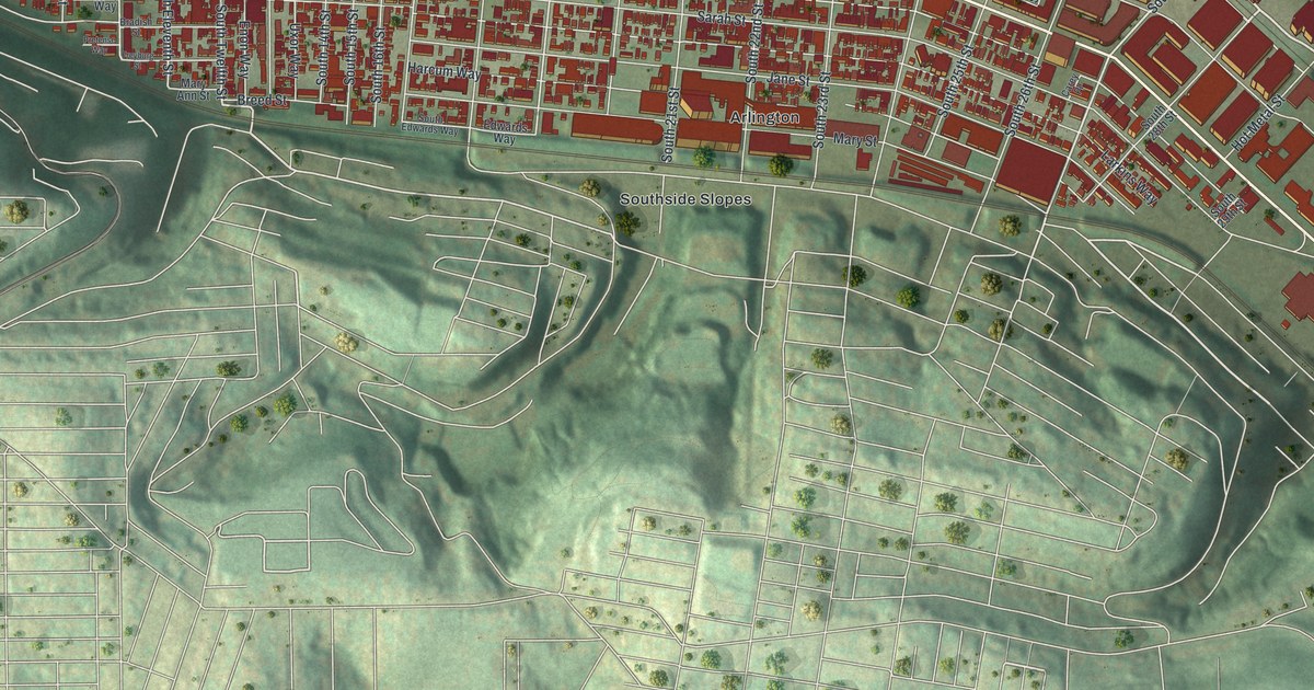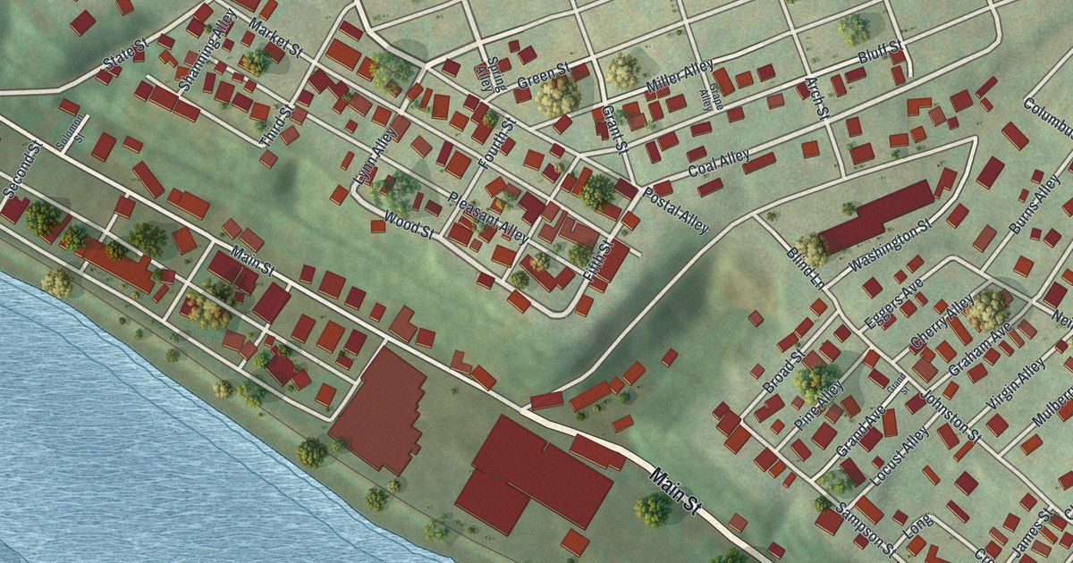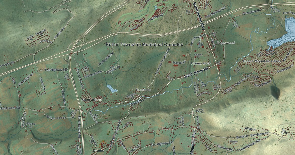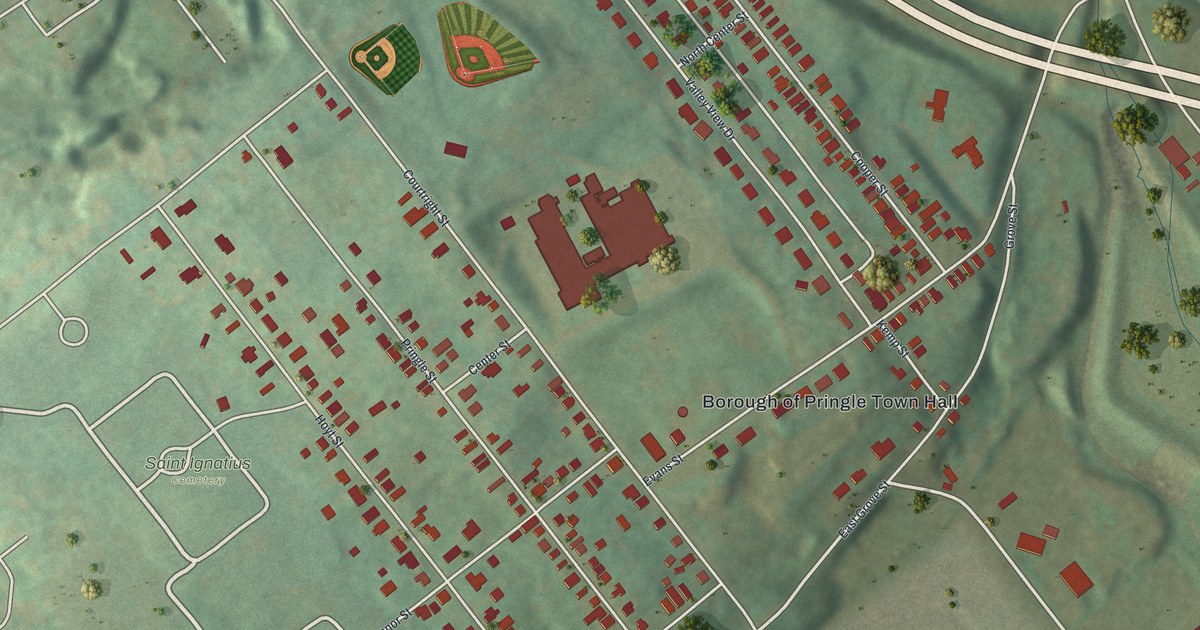
If you grew up in Pringle, look for your old street on this print. It's a modern aerial view of Pringle in Luzerne County, Pennsylvania, built from terrain, street, building and boundary data, with a vintage feel. Red buildings line pale streets, with green hills rising beside the blocks.
Pringle Street and the Town Hall
On this map you'll find Pringle Street, Borough of Pringle Town Hall, Saint Ignatius Cemetery, Union Street, Division Street, Courtright Street, Hoyt Street, Evans Street, Cooper Street, Grove Street, North Street, and more. Each red shape is a building, so zoom in on the preview and look for yours.
The 2020 Census counted 893 people in Pringle. The Borough of Pringle Town Hall label sits near the middle of the print, with rows of red homes around it. Saint Ignatius Cemetery stands out nearby, with curved paths inside its grounds. Two baseball diamonds show up as small green and tan fans north of the town hall. Beyond the close rows of buildings, soft green shading brings out the hills.
Pringle, Pennsylvania on Your Wall
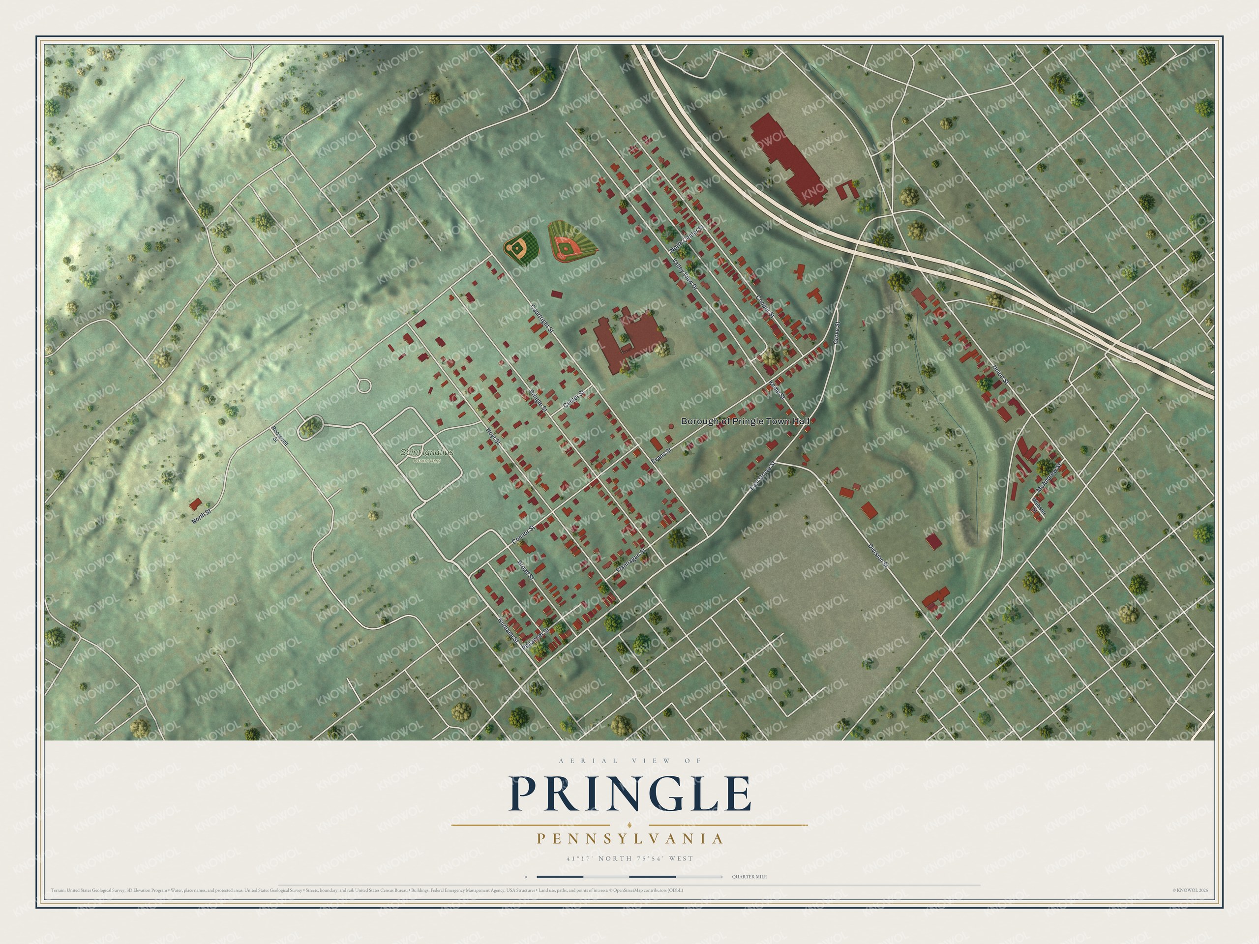
Created by KNOWOL in 2026, the print pairs muted green land with red buildings and pale roads. A cream border surrounds the view. The title panel reads AERIAL VIEW OF, PRINGLE, PENNSYLVANIA, with 41°17' NORTH 75°54' WEST beneath it.
Hang it in a living room, hallway or home office. It's a thoughtful gift for someone who grew up near Pringle Street and now lives far from home. Open the preview to find a familiar block and take a closer look. See sizes and frames for the Pringle map.