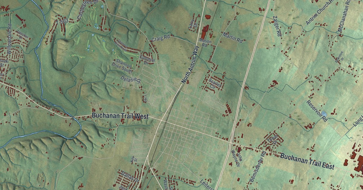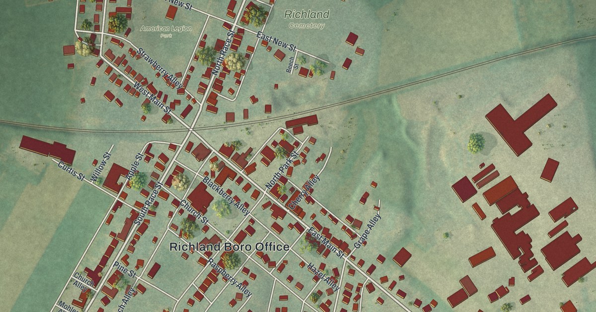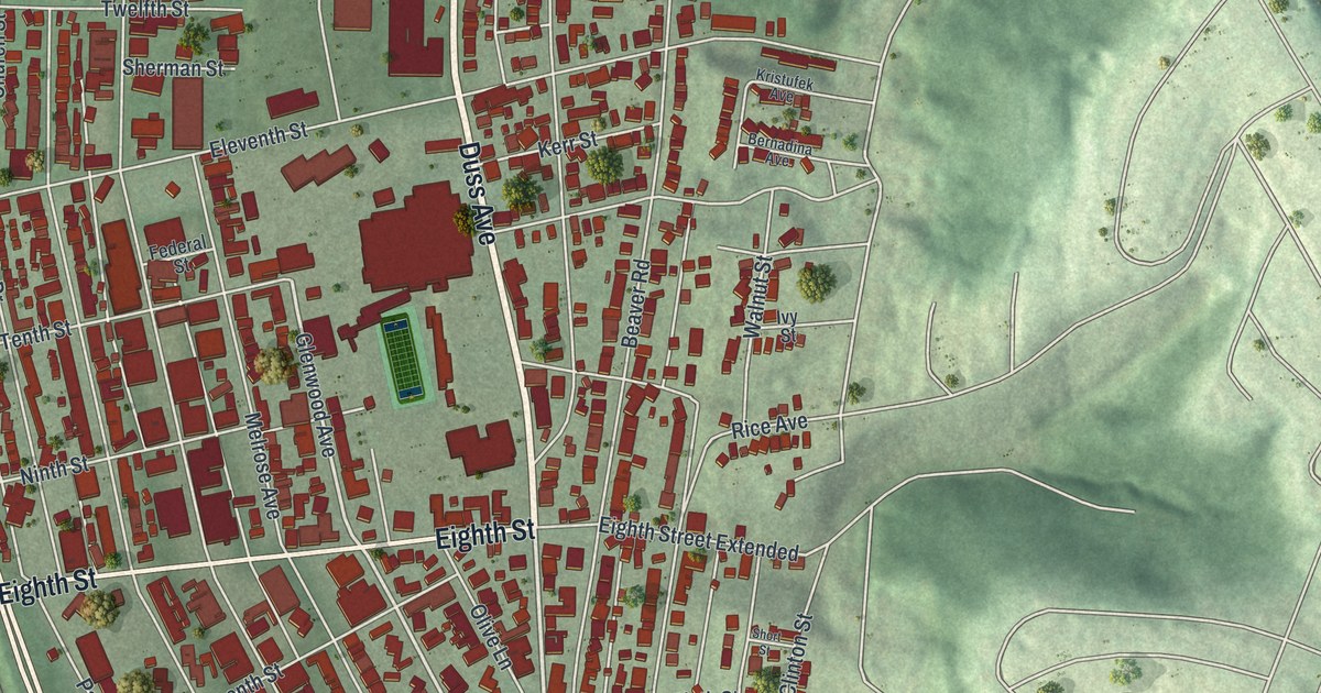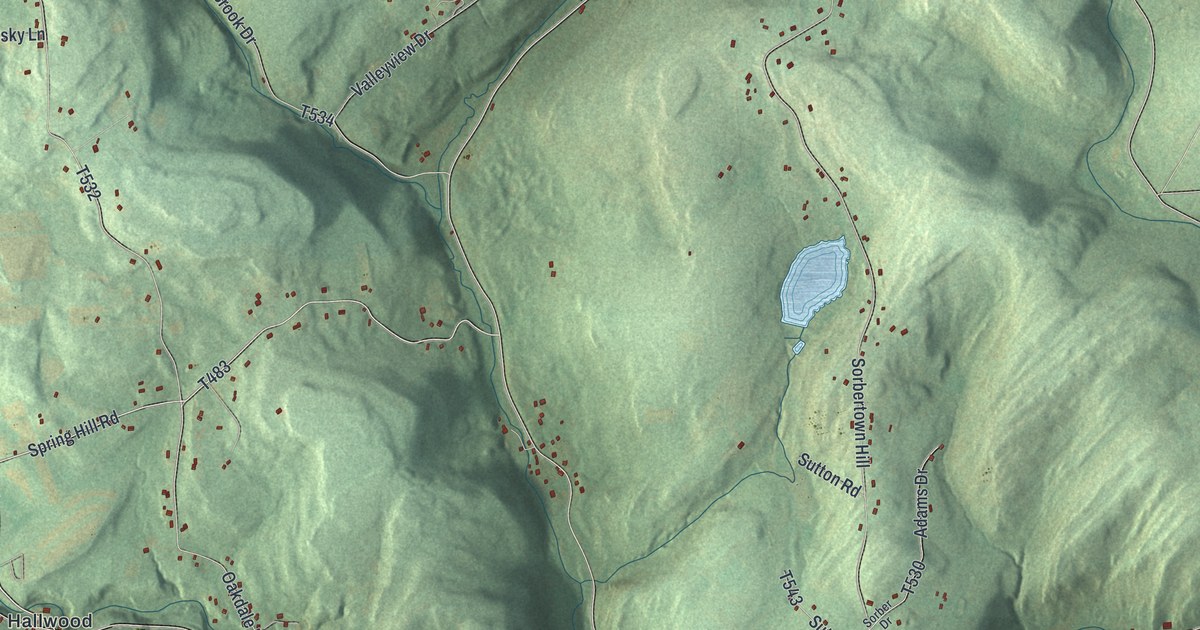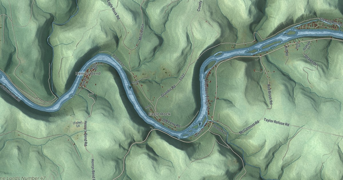
If you grew up in President, look for the streets near home. This modern aerial view shows President in Venango County, Pennsylvania, using modern data with a vintage feel. A blue river winds through green hills, with red buildings along its banks. Henrys Bend and Eagle Rock are both printed near the center of the map.
Henrys Bend, Eagle Rock and President's hills
On this map you'll find President Road, President Village Road, Henrys Bend, Eagle Rock, Ahrensville, Green Oaks, Grandin Road, Stewart Run Road, Walnut Bend Road, Ahrensville Road, Old Ferry Road, and more. Each red shape is a building, so zoom in on the preview and look for yours.
President's steep hills shaped what people could do with the land. The 1890 History of Venango County describes high hills along the Allegheny River. It says much of the land for miles inland was hard to farm. Timber and oil offered other resources, though much remained undeveloped at the time. The township sits where Hemlock Creek meets the Allegheny River, and the Pithole Stone Arch Bridge here was listed on the National Register of Historic Places in 1988. On the print, shaded slopes rise above Henrys Bend and Eagle Rock. You can see how much of this landscape is hills.
Keep Henrys Bend and Eagle Rock close
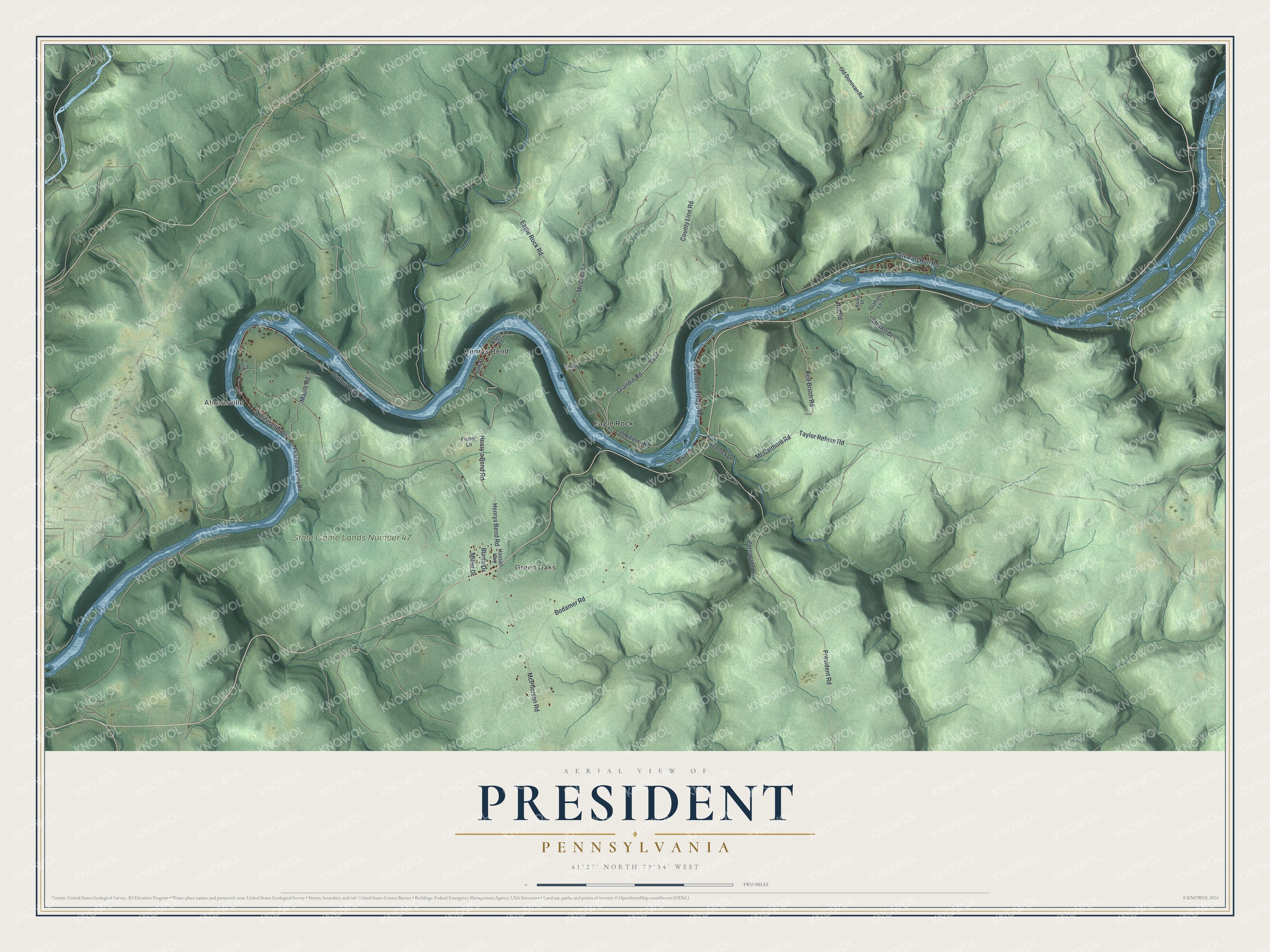
Created by KNOWOL in 2026, the print pairs green shaded hills with blue water and small red buildings. A cream border surrounds the view. The title panel reads AERIAL VIEW OF PRESIDENT, PENNSYLVANIA, with 41°27' NORTH 79°34' WEST below.
Hang it in a living room, entryway or home office. It's a gift for someone with family in Henrys Bend, or someone who moved away from President. Open the preview and take a closer look at the roads near home. See sizes and frames for the President map.