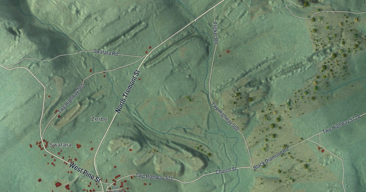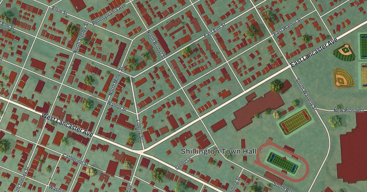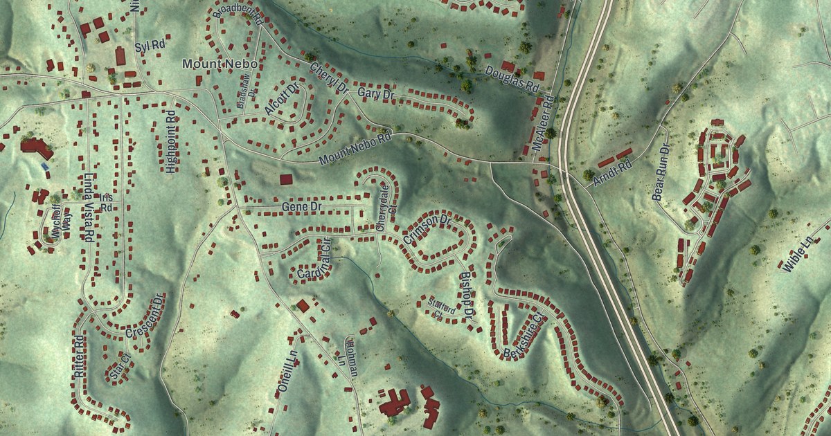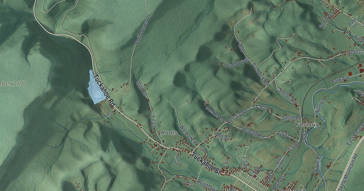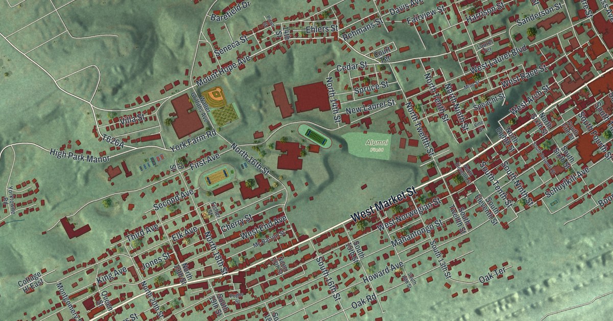
If you grew up in Pottsville, you'll have familiar blocks to find here. This modern aerial view of Pottsville in Schuylkill County, Pennsylvania blends modern data with a vintage feel. Red buildings fill the streets between long green ridges. Blue waterways wind past the city's blocks and wooded slopes.
Mahantongo Street and John O'Hara
On this map you'll find Mahantongo Street, North Centre Street, South Centre Street, West Market Street, Mauch Chunk Street, West Norwegian Street, Schuylkill Avenue, Mount Hope Avenue, Alumni Field, Rotary Park, Mechanicsville, and more. Each red shape is a building, so zoom in on the preview and look for yours.
Mahantongo Street has a place in Pottsville's writing history, too. According to the John O'Hara historical marker, the writer lived at 606 Mahantongo Street from 1916 to 1928. He was born in Pottsville in 1905. The marker says he used this coal region as the setting for several of his major works. Find Mahantongo Street among the red buildings on the map. It's the street where O'Hara lived for those twelve years, and his home at 606 Mahantongo Street is on the National Register of Historic Places.
Keep Pottsville's Streets Close
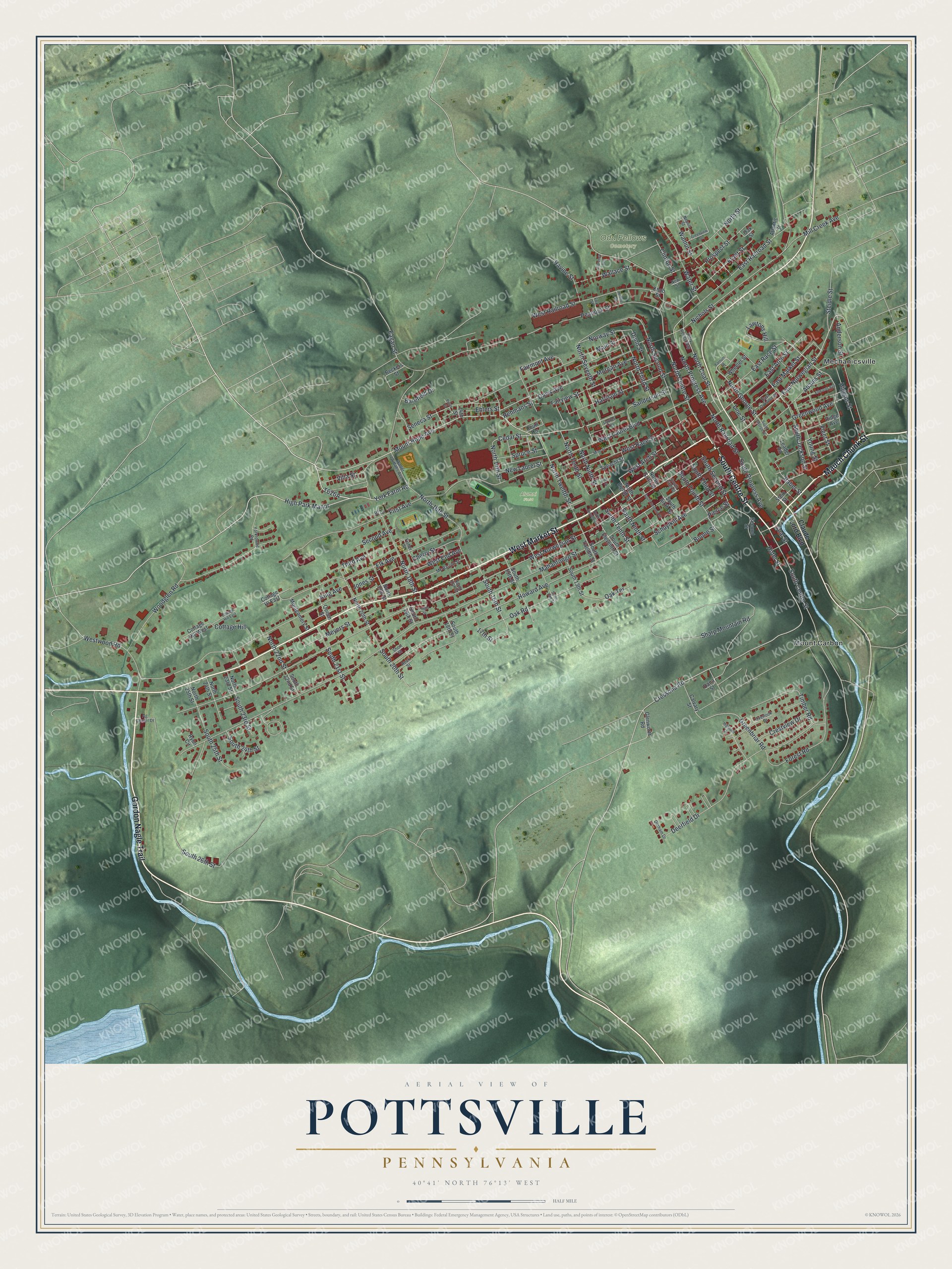
Created by KNOWOL in 2026, the print pairs green shaded hills with red buildings, pale roads and blue water. A cream border surrounds the view. The title panel reads AERIAL VIEW OF POTTSVILLE, PENNSYLVANIA, with 40°41' NORTH 76°13' WEST below.
Hang it in a living room, office or entryway to keep home close. It's a thoughtful gift for someone who grew up near Mahantongo Street and moved away. Open the preview to look for a family block or a street you know well. See sizes and frames for the Pottsville map.