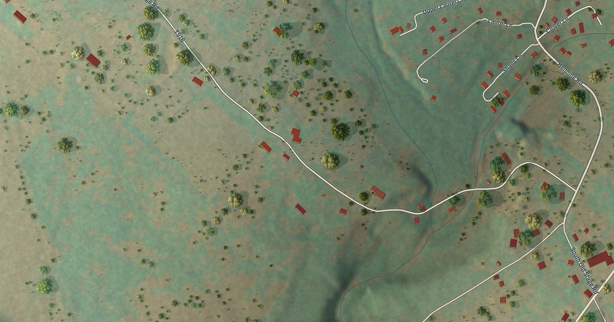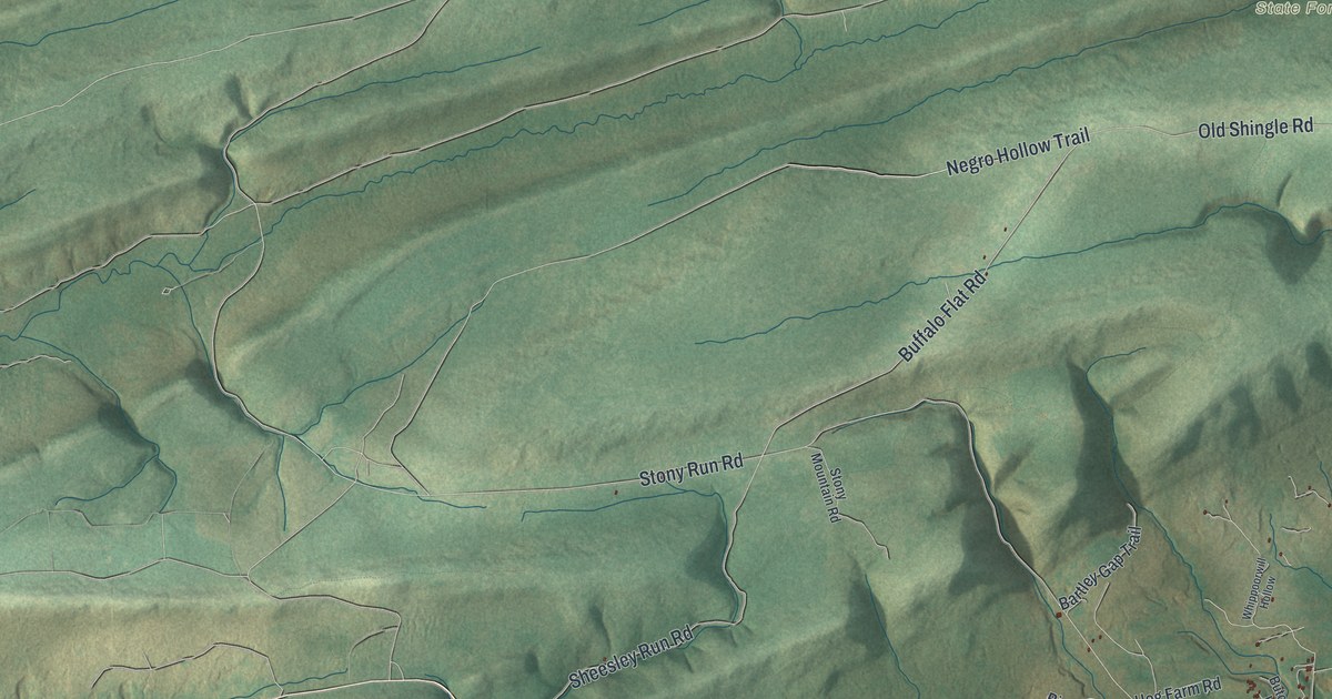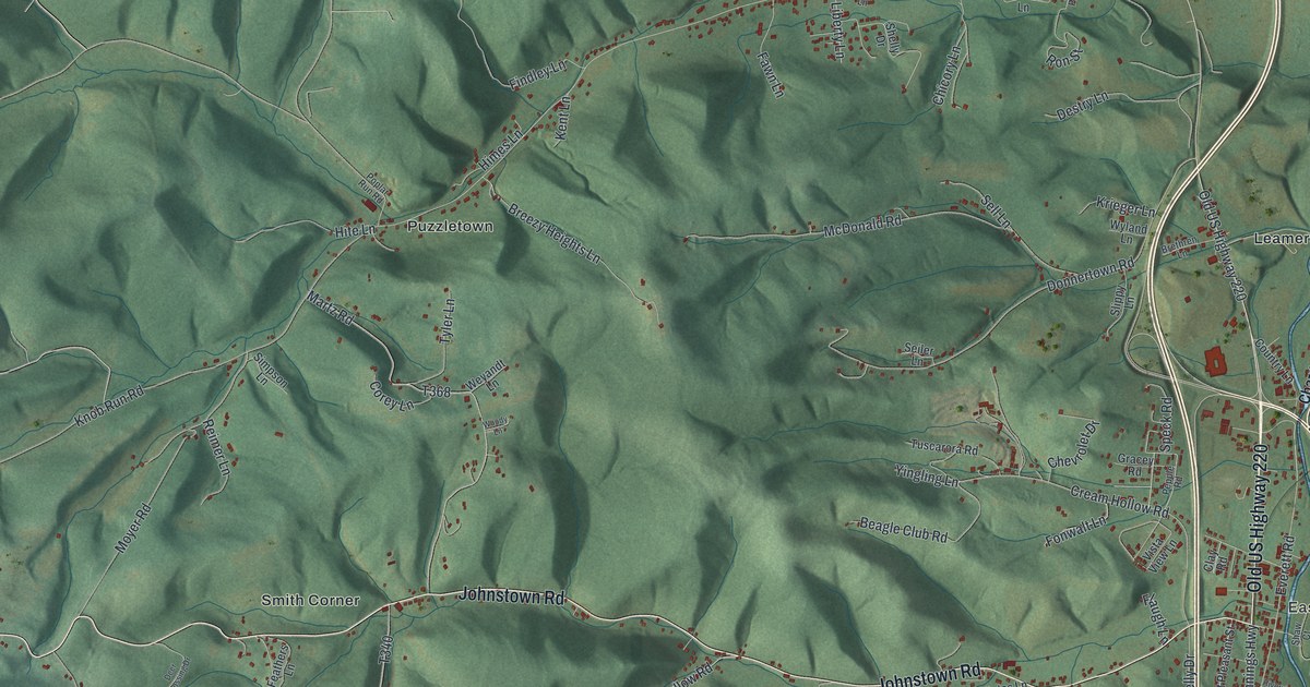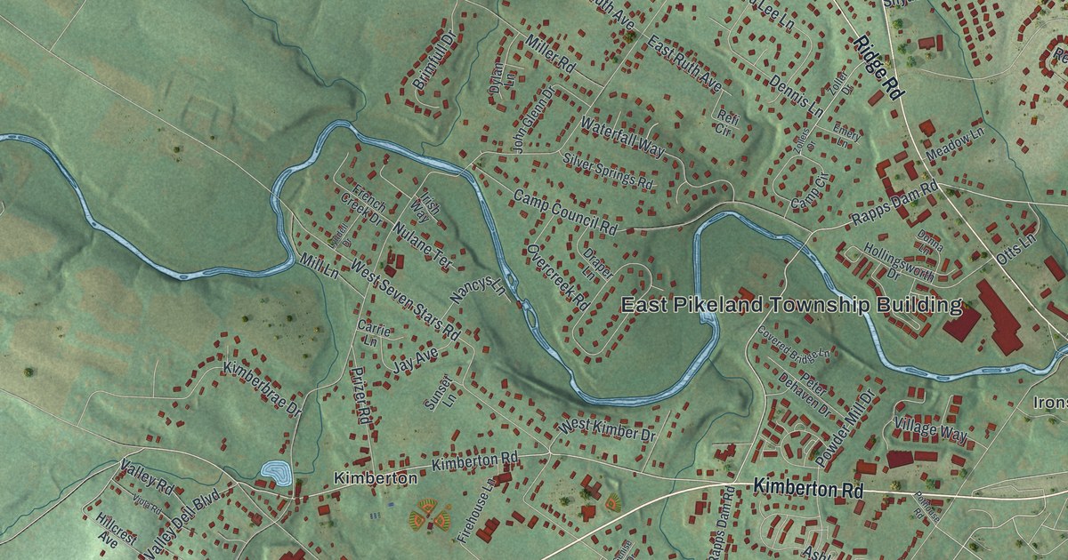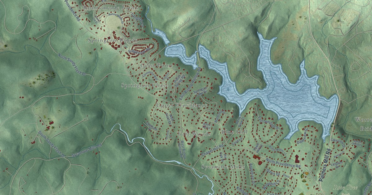
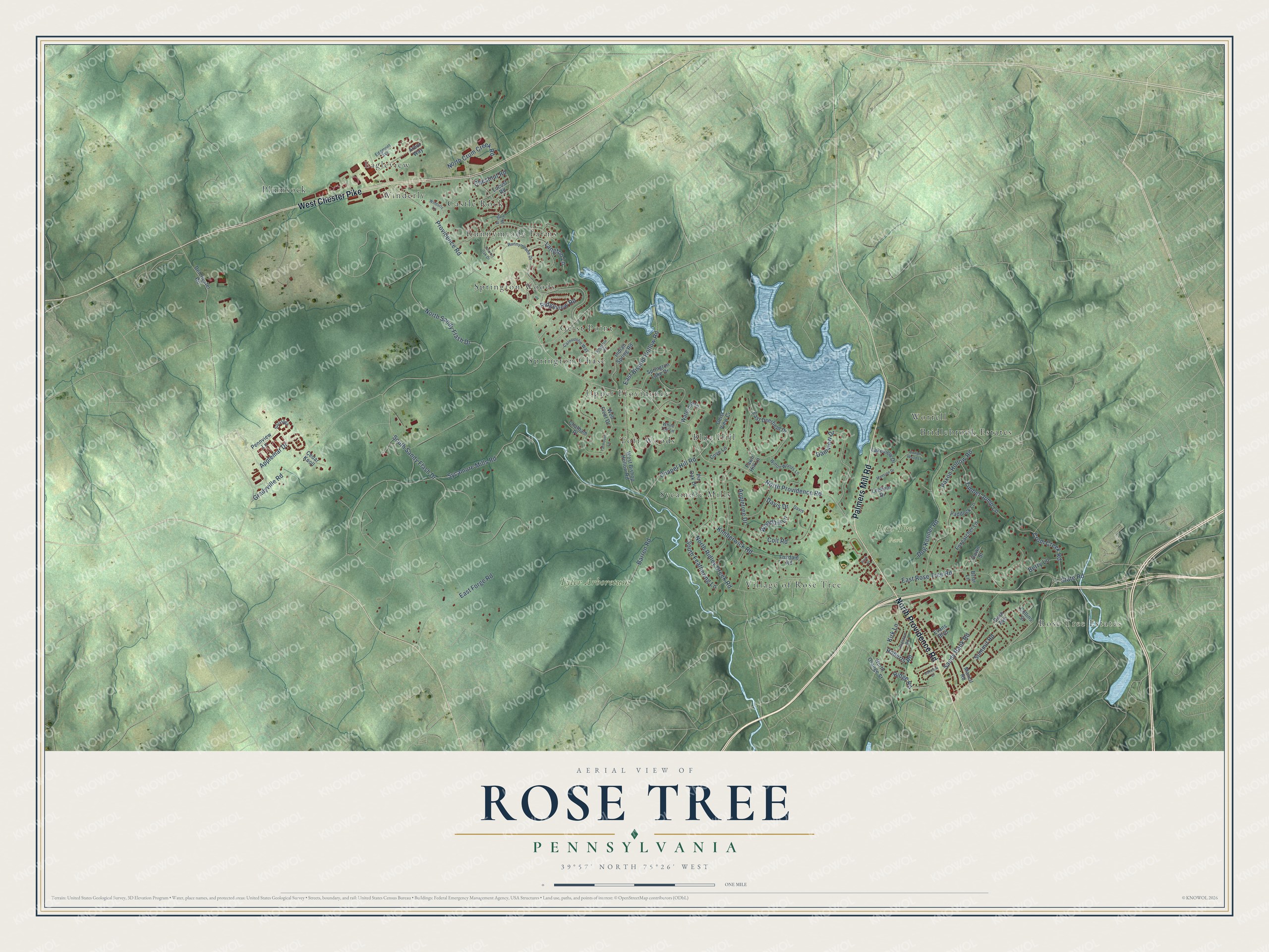
This beautifully detailed map of Rose Tree, Pennsylvania was created in 2026 using aerial imagery combined with modern topographical, census, street and landmark data. It’s a one-of-a-kind view of Rose Tree that combines accurate data with a vintage aesthetic. The map shows every building in its true location, many of the roads carry their names, and the shaded topographic relief shows the shape of the land.
Explore an aerial view of Rose Tree, Pennsylvania
On the map you’ll find Rose Tree Estates, Rose Tree Park, Tyler Arboretum, Eagleview, Upper Providence, Bridlebrook Estates, Plumsock, Sycamore Mills, Springton Woods, Castle Rock, Blue Hill, and more. If you look closely you can even find your house accurately drawn in its correct location. Zoom in on the preview to look for yours.
Did You Know?
From Internet Archive: "Sandy Bank school No. 2 was established on the Providence road below Rose Tree in 1837, and school maintained in the original building until 1870, when a brick building was erected on a lot adjoining."
Rose Tree is a community in Delaware County.
Take a closer look at the Rose Tree map
Names on this map
These names are printed on this map.
Places: Rose Tree Estates, Rose Tree Park, Tyler Arboretum, Eagleview, Upper Providence, Bridlebrook Estates, Plumsock, Sycamore Mills, Springton Woods, Village of Rose Tree, Castle Rock, Blue Hill, Worrell, Geist Point, Toft Woods, Runnymeade Farms, Springton Chase and Winderly.
Streets and roads: Palmers Mill Road, West Chester Pike, North Providence Road, Providence Road, Chapel Hill Road, East Bishop Hollow Road, State Road, Paxon Hollow Road, Crum Creek Road, Sycamore Mills Road, Gradyville Road, North Sandy Flash Drive.
More street names, A to Z
Applemar Drive, Appletree Drive, Arbor Way, Barren Road, Berry Lane, Birnam Wood Lane, Briar Lane, Bridle Way, Carnoustie Way, Cedar Knoll, Charter Oak Drive, Chatham Place, Chestnut Road, Collins Street, Colt Road, Cove Lane, Damview Drive, Dash Avenue, Davis, Davis Drive, Delchester Road, Dog Kennel Road, Down Street, East Deerfield Drive, East Forge Road, East Rose Tree Road, Edgmont Avenue, Evans Boulevard, Fawn Hill Lane, Foxcatcher Lane, Foxdale Road, Geist View Ci, Indian Spring Road, Kimberwick Road, Kingston Road, Kirk Lane, Lakeview Drive, Langton Lane, Leedom Drive, Locust Road, Mancil Road, Mansion Drive, North Crum Creek Road, North Orange Street, North Ridley Creek Road, Oakview Drive, Paddock Lane, Park Place, Pennview Lane, Pin Oak Drive, Preston Road, Ridge Road, Ridgeview Road, Roberts Road, Runnymeade Drive, Sandy Bank Road, Saratoga, South Feathering Lane, South Sandy Flash Drive, Springton Lake Drive, Summit Road, Timber Jump Lane, Watermill Lane, Well Fleet Drive, West Bishop Hollow Road, White Tail Lane, Wilton Woods Lane, Winderly Lane, Woodhill Lane, Yarmouth Lane.
See it on a wall
The Rose Tree map as a framed print. Swipe for more.


This beautifully detailed map of Rose Tree makes an attractive addition to your office, library, or den, and it can even be used to teach children the geography and history of the area. It also makes a great gift for someone who left Rose Tree and still calls it home. When you’re done exploring, click here to get your copy of the Rose Tree map.