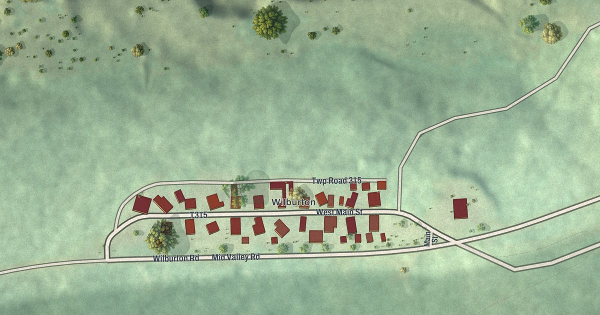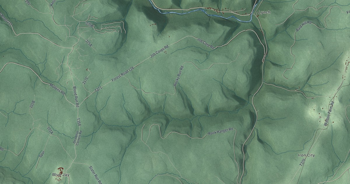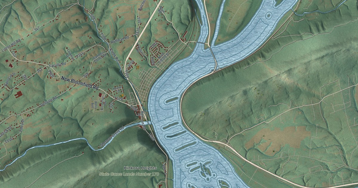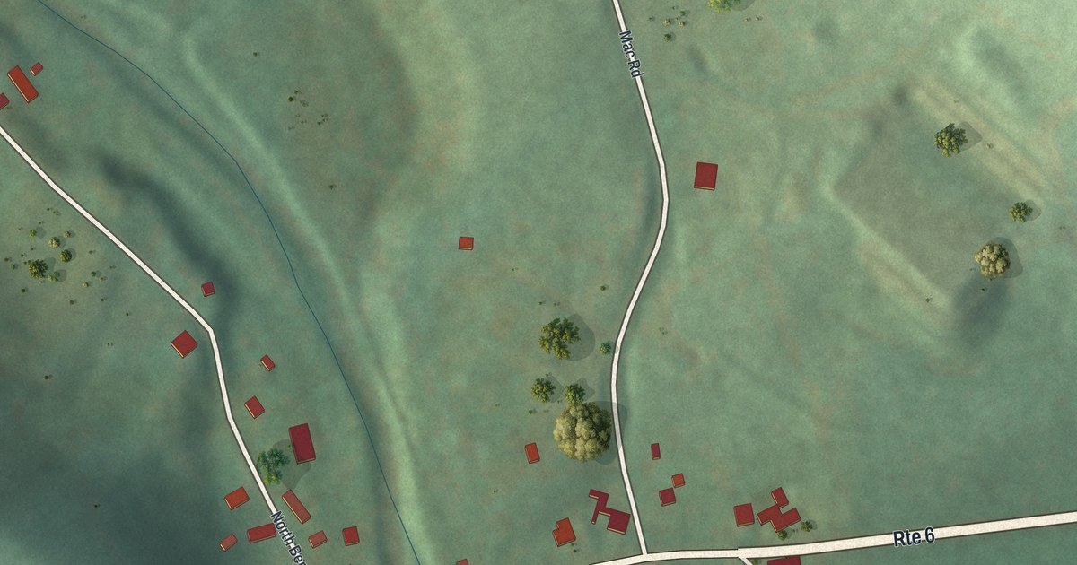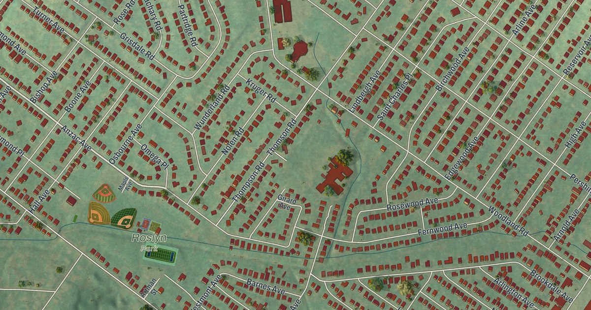
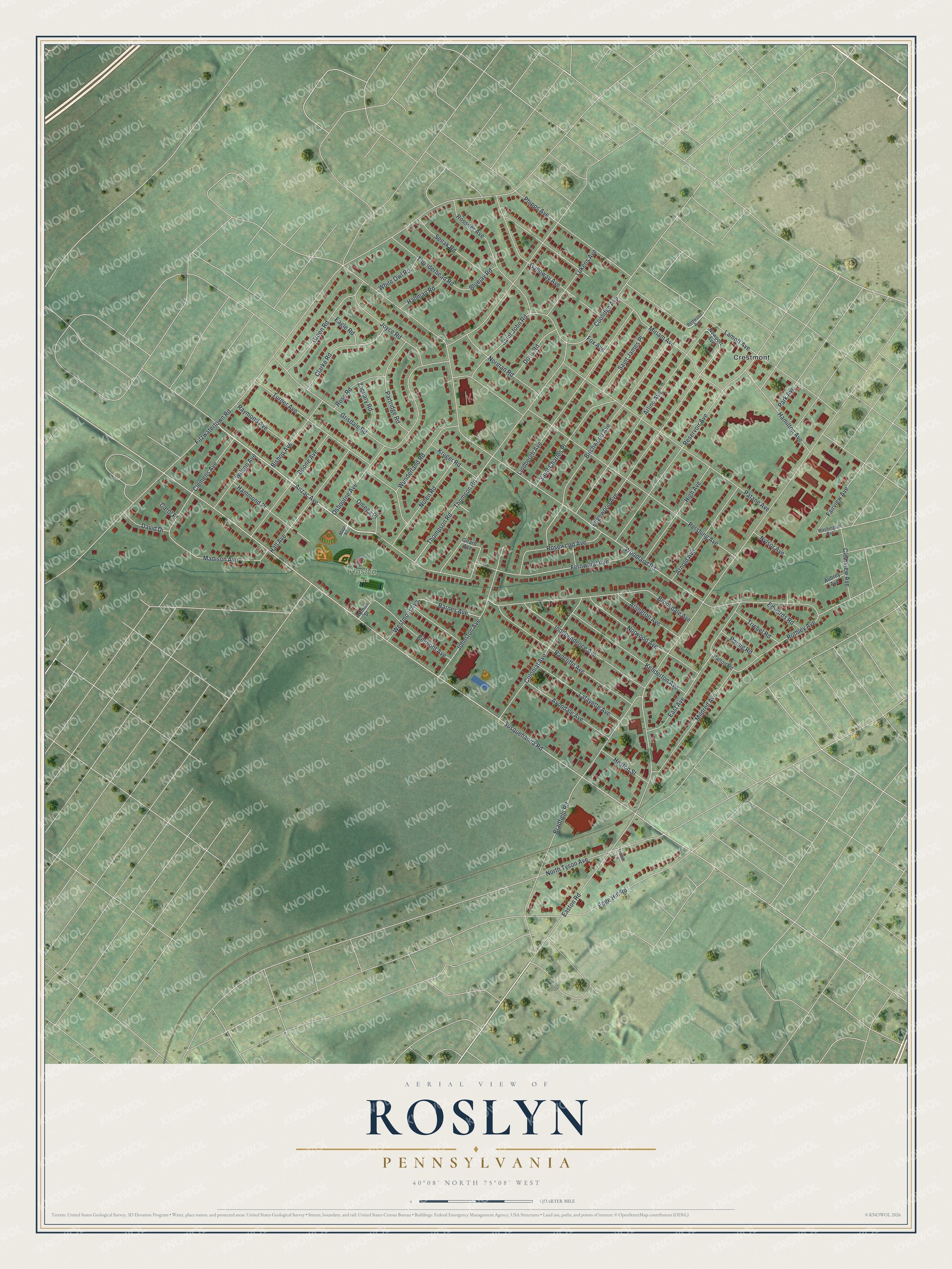
This beautifully detailed map of Roslyn, Pennsylvania was created in 2026 using aerial imagery combined with modern topographical, census, street and landmark data. It's a modern aerial view of Roslyn in Montgomery County, Pennsylvania, that combines modern data with a vintage aesthetic. The roads feature printed names, and if you look closely you can find your exact house accurately shown in its correct location.
Explore an aerial view of Roslyn, Pennsylvania
On this map you'll find Roslyn Park, Crestmont, Anzac Avenue, Susquehanna Road, Woodland Road, Easton Road, Fitzwatertown Road, Osbourne Avenue, Pershing Avenue, Fernwood Avenue, Thompson Road, Bradfield Road, and more. Each red shape is a building, so zoom in on the preview and look for yours.
Roslyn is a community in Montgomery County. The Census Bureau counted 9,525 people here in 2020. Roslyn sits about 2 miles southwest of Willow Grove, 2 miles north of Glenside and 2 miles north of Jenkintown. The map prints the town name in its title panel, with the coordinates below it.
Take a closer look at the Roslyn map
Names on this map
These names are printed on this map.
Places: Roslyn Park and Crestmont.
Streets and roads: Anzac Avenue, Susquehanna Road, Woodland Road, Easton Road, Fitzwatertown Road, Osbourne Avenue, Pershing Avenue, Fernwood Avenue, Thompson Road, Bradfield Road, Patane Avenue, Miriam Avenue.
More street names, A to Z
Arline Avenue, Arlington Avenue, Arnold Avenue, Artman Street, Aubrey Avenue, Avondale Avenue, Barnes Avenue, Belmont Avenue, Birchwood Avenue, Bishop Avenue, Bluejay Road, Boone Avenue, Brookdale Avenue, Carol Place, Clarke Road, Clearview Avenue, Clemens Avenue, Colonial Avenue, Coolidge Avenue, David Drive, Doris Road, Eagle Road, East Avenue, Edge Hill Road, Edgewood Avenue, Edwards Road, Fairview Avenue, Fox Avenue, Galloway Avenue, Girard Avenue, Green Road, Grisdale Road, Hall Avenue, Hallman Road, Hamilton Avenue, Hammond Place, Heston Street, High Avenue, Independence Avenue, Johnston Avenue, Joyce Road, Kenderton Avenue, Kruger Road, Lafayette Avenue, Lamott Avenue, Lindbergh Avenue, Lukens Avenue, Madison Avenue, Maple Avenue, Mildred Avenue, Newport Avenue, Nolen Road, Norman Road, North Tyson Avenue, Norwood Avenue, Nylsor Avenue, Omega Place, Park Avenue, Partridge Road, Patton Road, Phipps Avenue, Radcliffe Avenue, Raymond Avenue, Redwood Avenue, Reservoir Avenue, Romig Road, Rose Road, Rosewood Avenue, Rossiter Avenue, Rothley Avenue, Saint Charles Place, Saint James Place, Saint John Road, Senak Road, Thomson Road, Thunderhead Road, Triebel Road, Trotter Lane, Turner Avenue, Washington Avenue, Westmont Avenue, White Owl Road, Wilson Avenue, Wunderland Road, Zachary Road.
See it on a wall
The Roslyn map as a framed print. Swipe for more.


Created by KNOWOL in 2026. The buildings are small red shapes, the roads carry their printed names, and shaded relief shows the shape of the land. The title panel reads "AERIAL VIEW OF ROSLYN, PENNSYLVANIA" with 40°08' NORTH 75°08' WEST.
It looks right in a kitchen, an office or a den, and it's a gift for anyone who grew up in Roslyn or moved away. Open the preview and find your street. See sizes and frames for the Roslyn map.