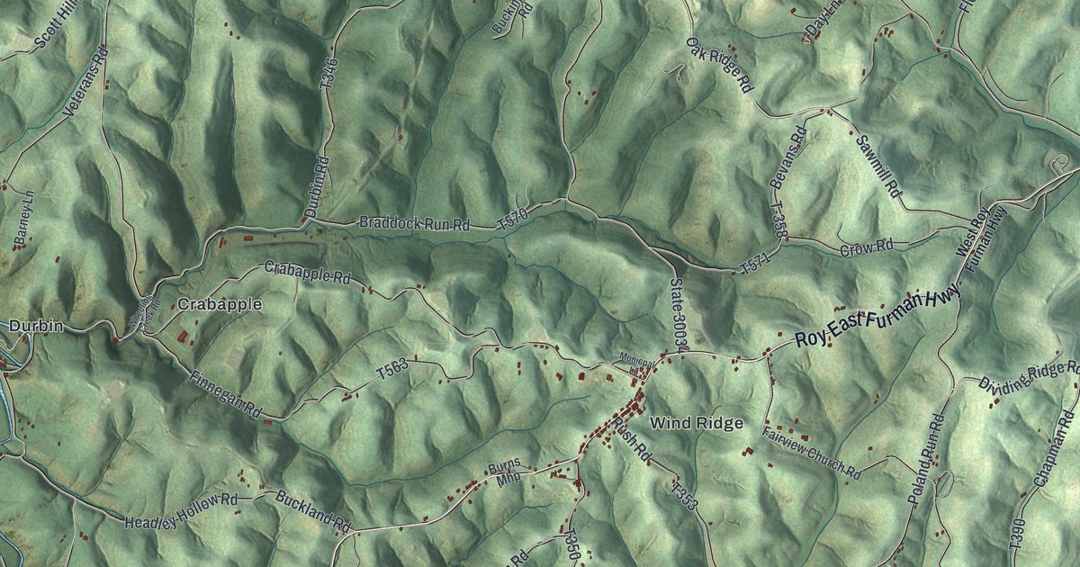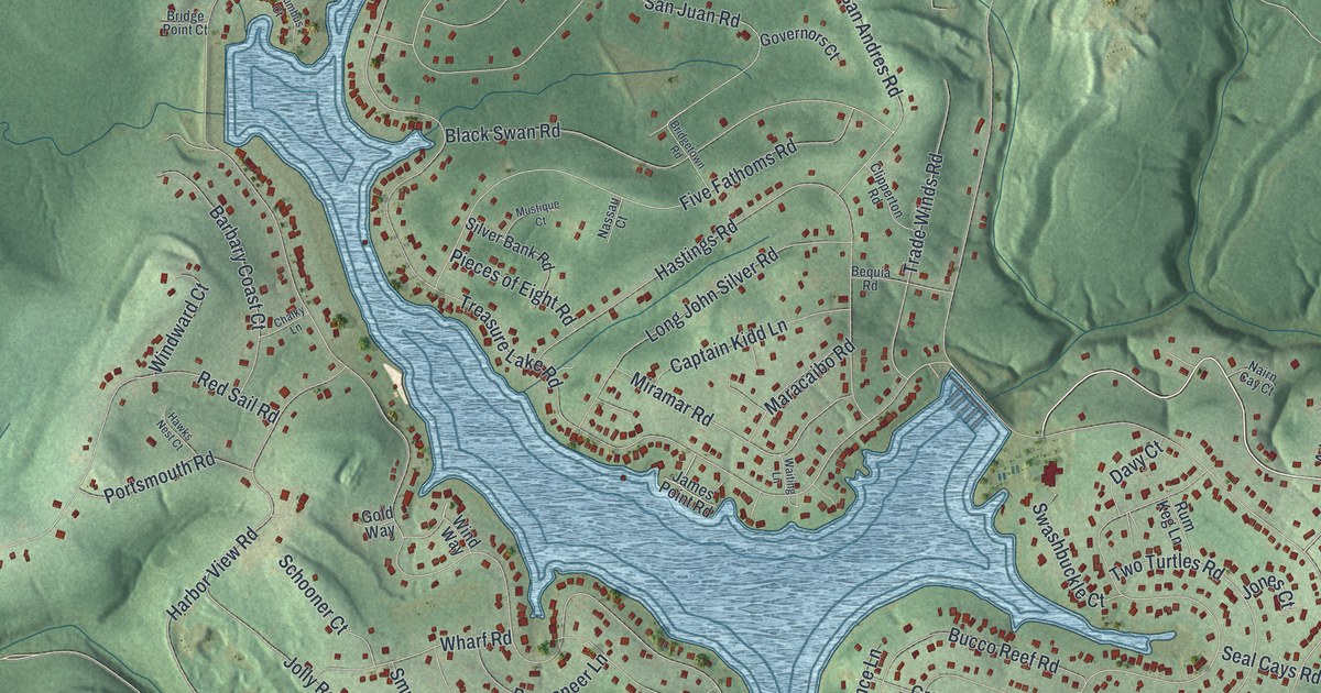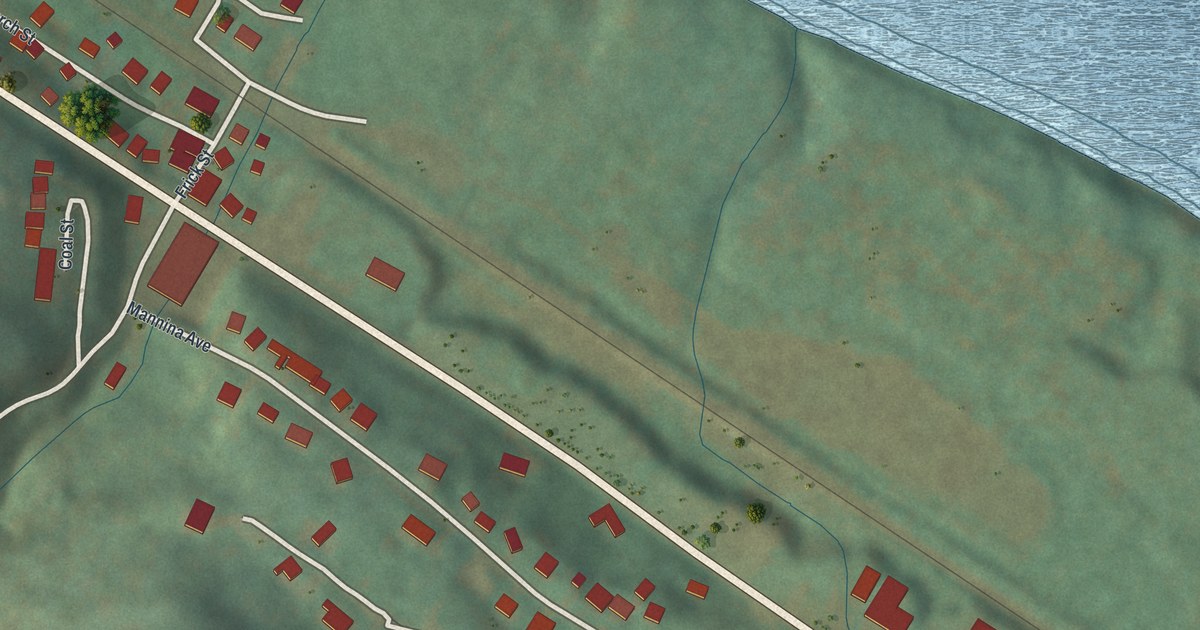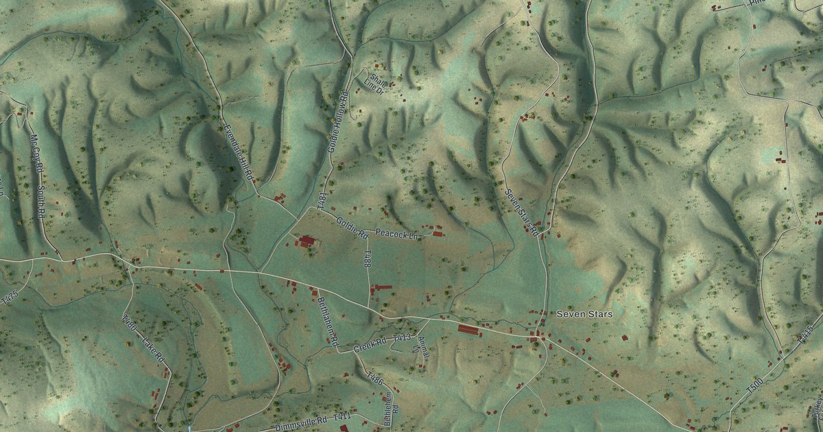
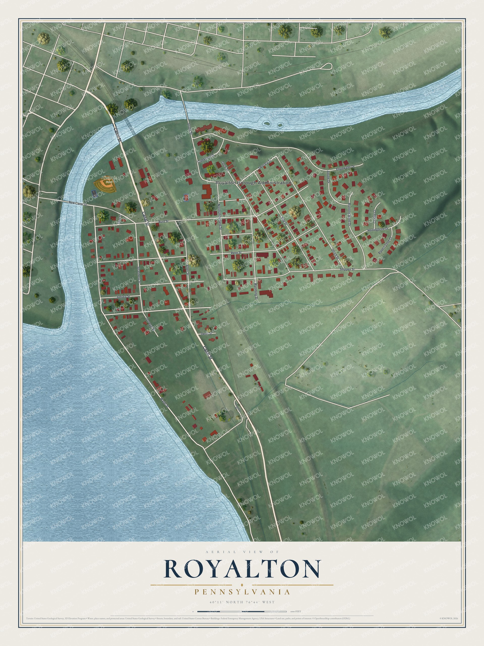
This beautifully detailed map of Royalton, Pennsylvania was created in 2026 using aerial imagery combined with modern topographical, census, street and landmark data. It's a modern aerial view of Royalton in Dauphin County, Pennsylvania, that combines modern data with a vintage aesthetic. The roads feature printed names, and if you look closely you can find your exact house accurately shown in its correct location.
Explore an aerial view of Royalton, Pennsylvania
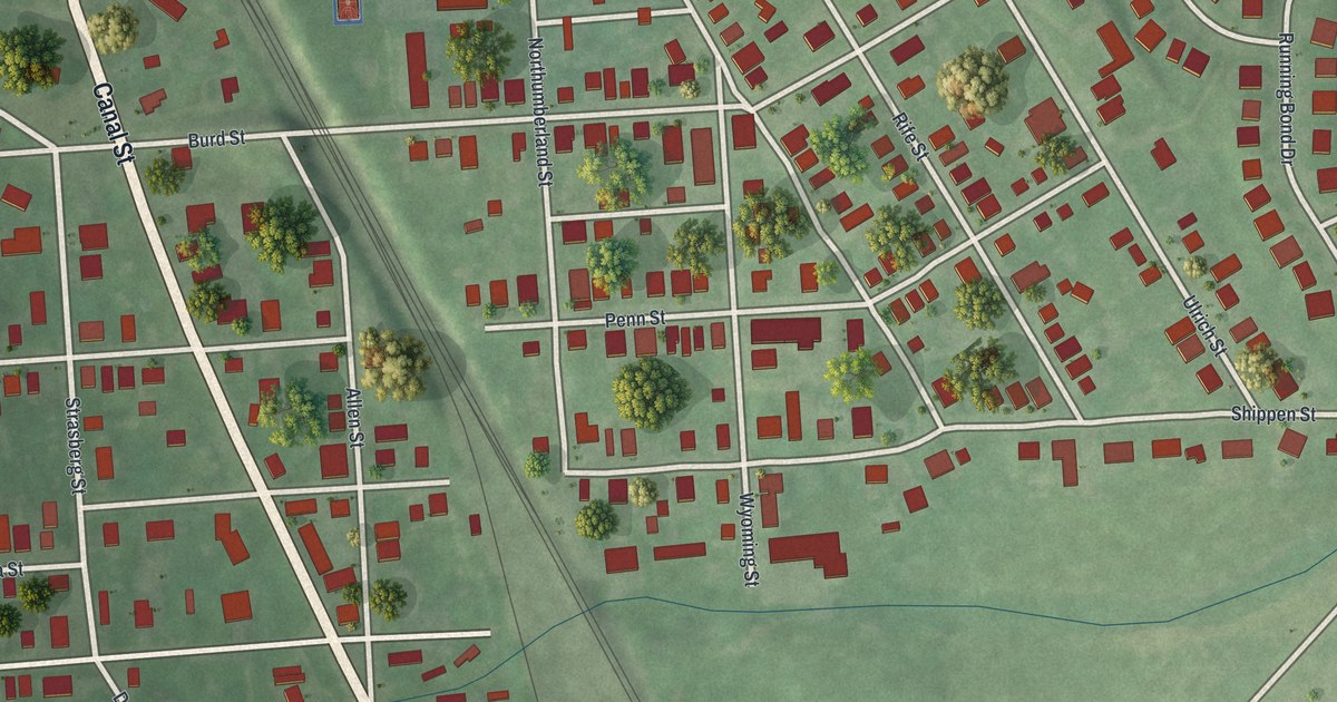
On this map you'll find Royalton Borough Administration, Kiwanis Park, Canal Street, Strasberg Street, New Canal Street, Swatara Street, Water Street, Shippen Street, Burd Street, Penn Street, Edgewater Drive, Ulrich Street, and more. Each red shape is a building, so zoom in on the preview and look for yours.
Royalton has a story worth telling. The History of Dauphin and Lebanon Counties puts it this way: "They laid out a town, naming it Port Royal, into four hundred and sixteen lots."
Royalton is a borough in Dauphin County. The Census Bureau counted 1,138 people here in 2020.
Take a closer look at the Royalton map
Names on this map
These names are printed on this map.
Places: Royalton Borough Administration and Kiwanis Park.
Streets and roads: Canal Street, Strasberg Street, New Canal Street, Swatara Street, Water Street, Shippen Street, Burd Street, Penn Street, Edgewater Drive, Ulrich Street, Dock Street, Rife Street.
More street names, A to Z
Adobe Drive, Allen Street, Cobble Court, Creekview Drive, Derry Street, Donegal Street, Grubb Street, Herringbone Drive, Hollandale Street, Juniata Street, Northumberland Street, Pavers Cove Court, Running Bond Drive, Short Street, Wyoming Street.
See it on a wall
The Royalton map as a framed print. Swipe for more.


Created by KNOWOL in 2026. The buildings are small red shapes, the roads carry their printed names, and shaded relief shows the shape of the land. The title panel reads "AERIAL VIEW OF ROYALTON, PENNSYLVANIA" with 40°11' NORTH 76°44' WEST.
It looks right in a kitchen, an office or a den, and it's a gift for anyone who grew up in Royalton or moved away. Open the preview and find your street. See sizes and frames for the Royalton map.