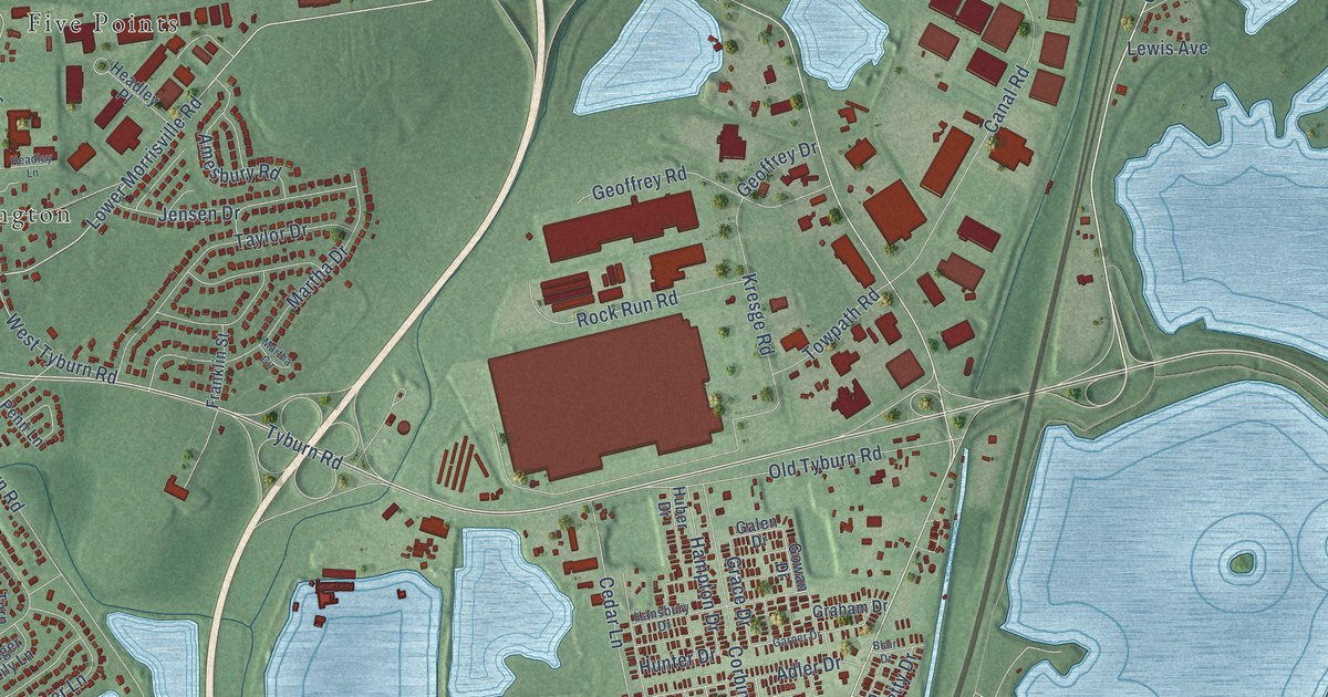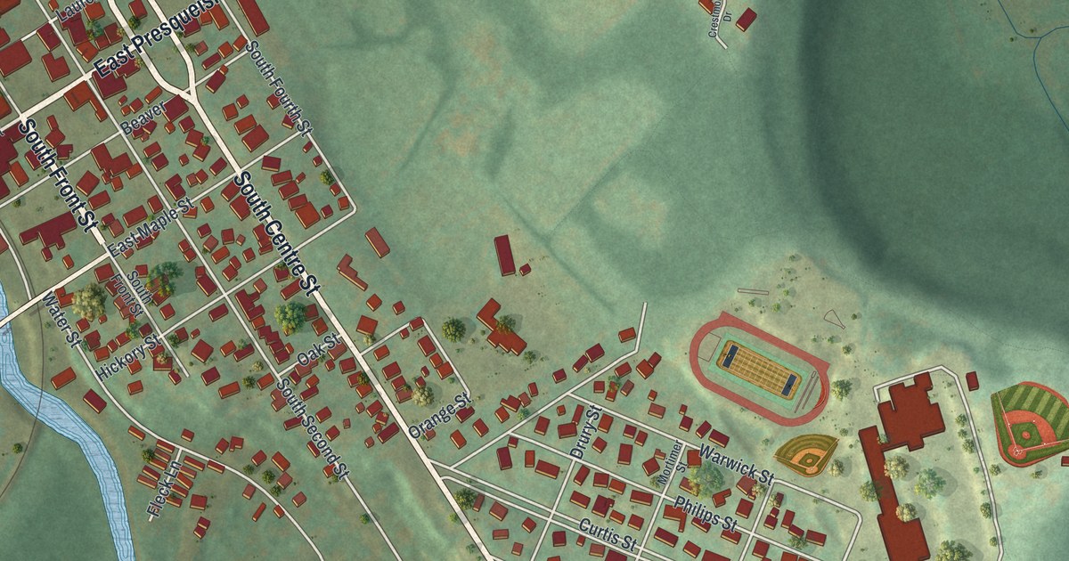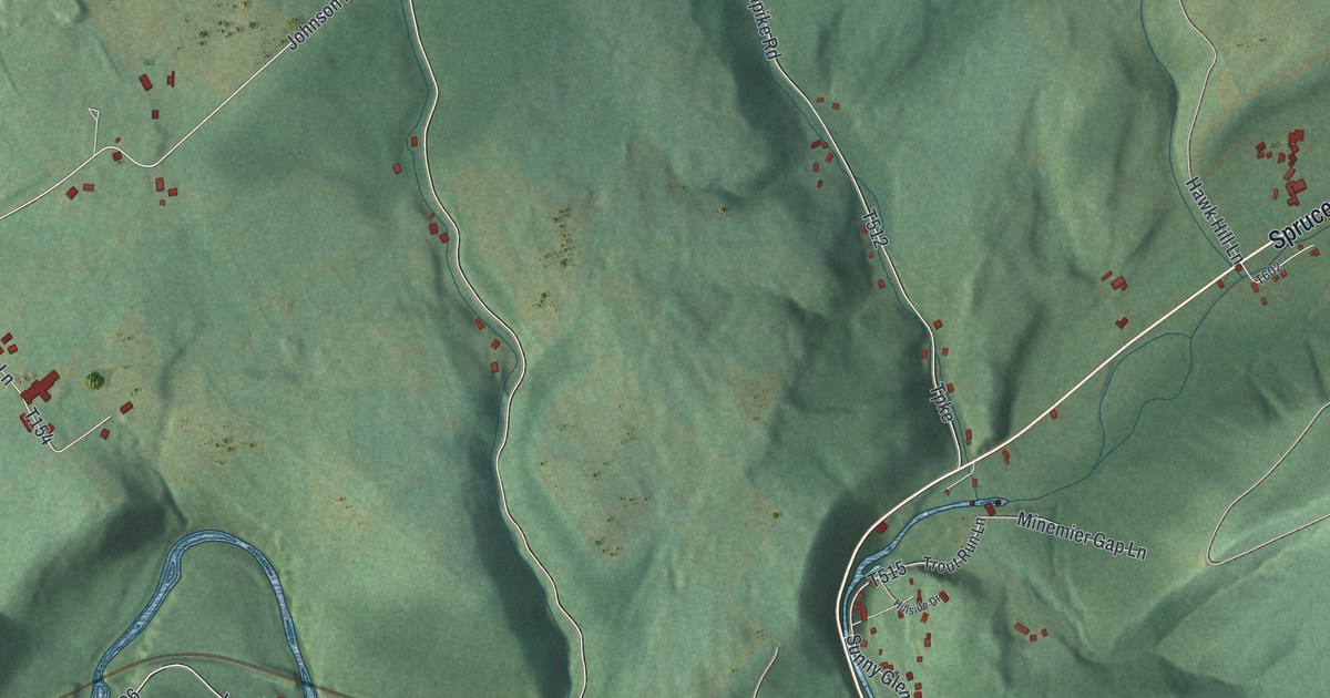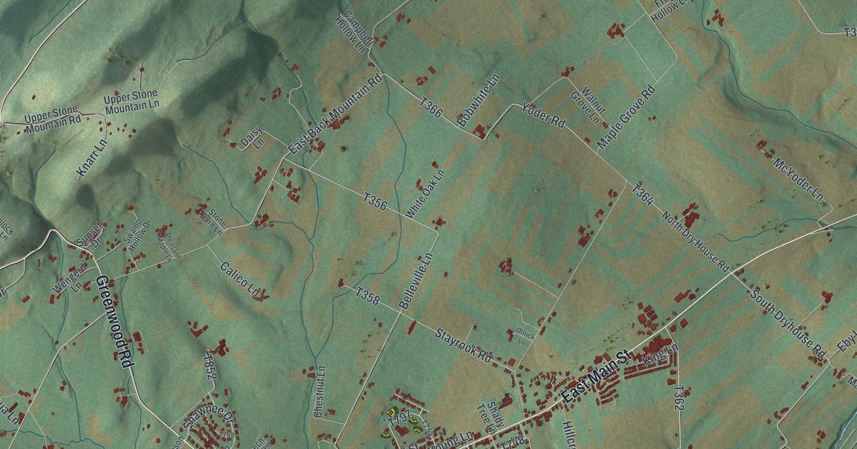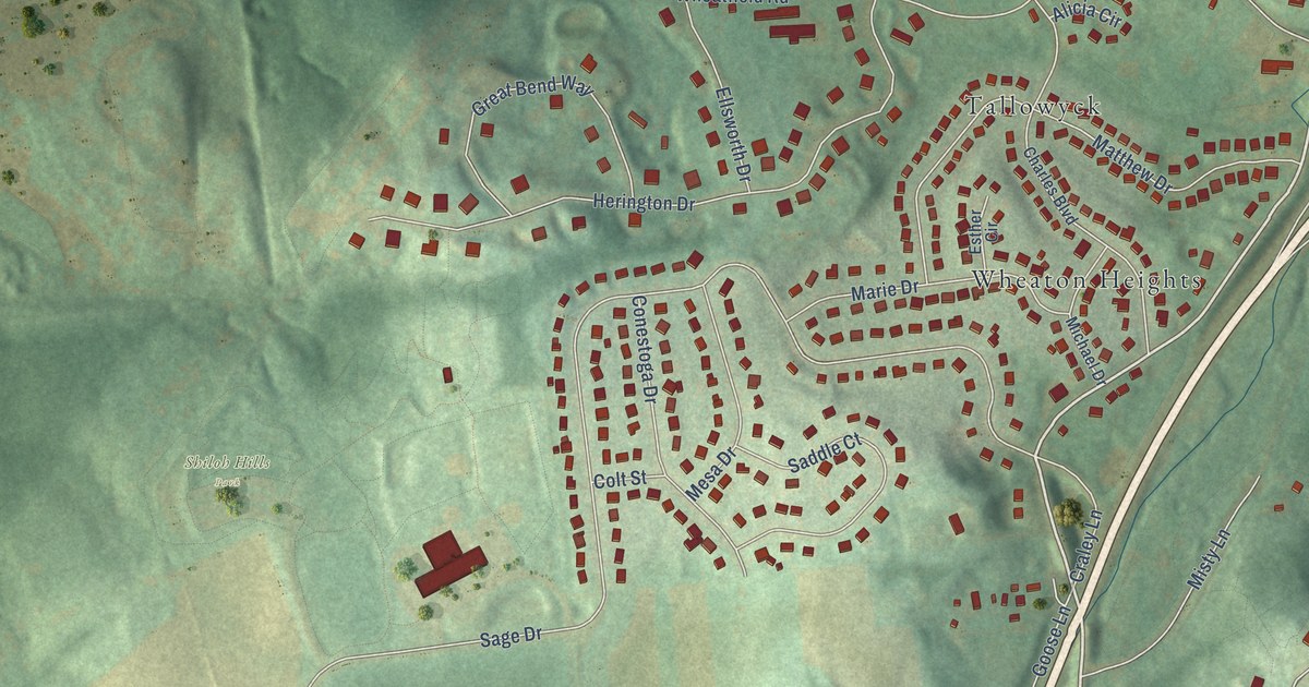
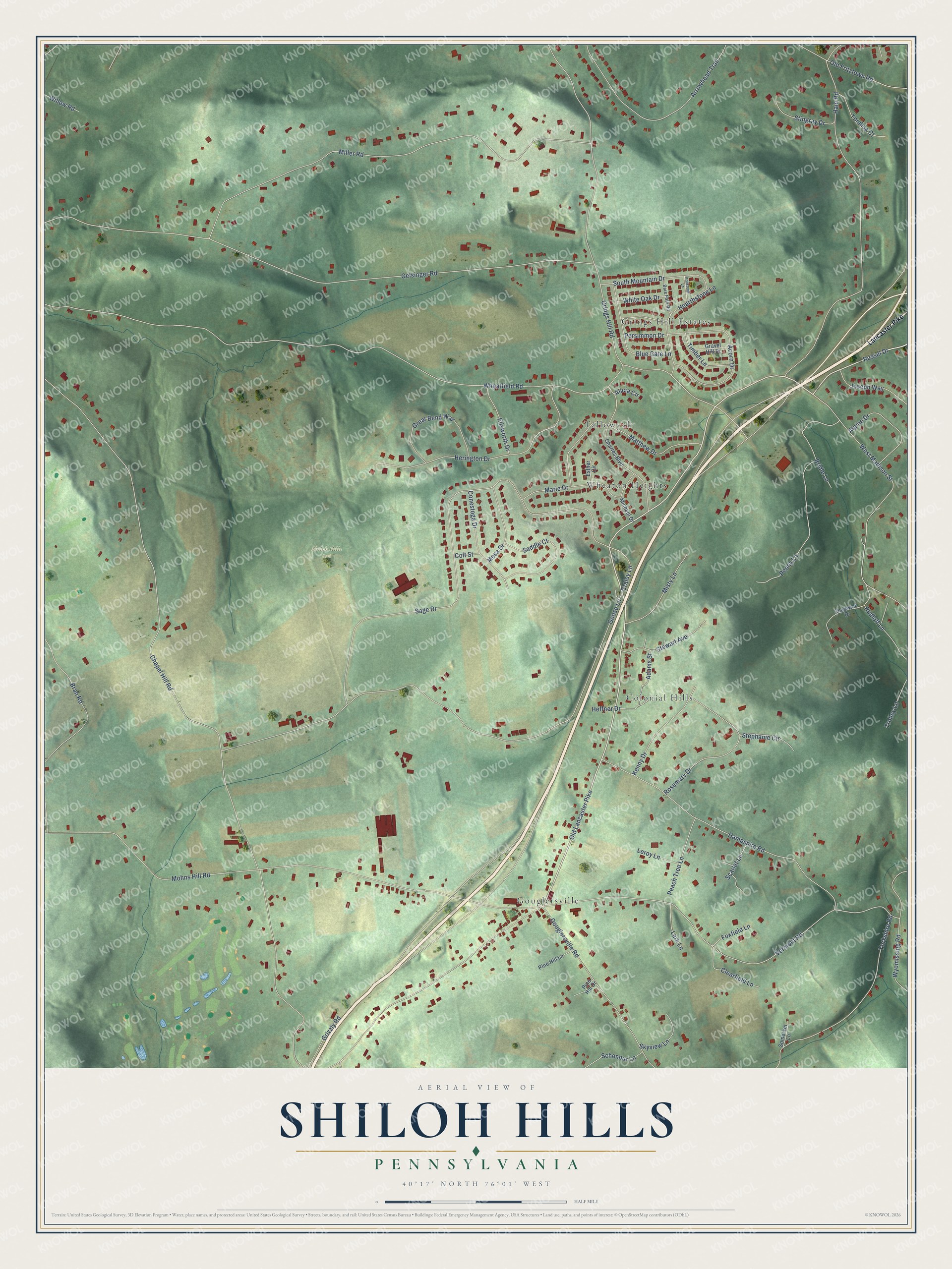
This beautifully detailed map of Shiloh Hills, Pennsylvania was created in 2026 using aerial imagery combined with modern topographical, census, street and landmark data. It’s a one-of-a-kind view of Shiloh Hills that combines accurate data with a vintage aesthetic. The map shows every building in its true location, many of the roads carry their names, and the shaded topographic relief shows the shape of the land.
Explore an aerial view of Shiloh Hills, Pennsylvania
On the map you’ll find Shiloh Hills Park, Grings Hill Estates, Gouglersville, Wheaton Heights, Colonial Hills, and Tallowyck, along with Old Lancaster Pike, Chapel Hill Road, Wheatfield Road, Gelsinger Road, Mohns Hill Road, Goose Lane, and more. If you look closely you can even find your house accurately drawn in its correct location. Zoom in on the preview to look for yours.
Take a closer look at the Shiloh Hills map
Names on this map
These names are printed on this map.
Places: Shiloh Hills Park, Grings Hill Estates, Gouglersville, Wheaton Heights, Colonial Hills and Tallowyck.
Streets and roads: Old Lancaster Pike, Chapel Hill Road, Wheatfield Road, Gelsinger Road, Mohns Hill Road, Goose Lane, Sage Drive, Grings Hill Road, Miller Road, Vermont Road, Hain Road, Hampshire Road.
More street names, A to Z
Acorn Drive, Adams Street, Alicia Circle, Alpine Drive, Arrowhead Trail, Bare Path Road, Blue Gate Lane, Bran Road, Bridle Lane, Chadwick Drive, Charles Boulevard, Clearfield Lane, Colt Street, Conestoga Drive, Craley Lane, Ellsworth Drive, Esther Circle, Foxfield Lane, Gouglersville Road, Gravel Hill Drive, Great Bend Way, Grizzly Road, Hearthstone Lane, Heffner Drive, Herington Drive, Ironstone Lane, Joseph Way, Kenny Drive, Lancaster Pike, Lark Lane, Leroy Lane, Marie Drive, Matthew Drive, Mesa Drive, Michael Drive, Misty Lane, Old Fritztown Road, Peach Tree Lane, Penny Lane, Persimmon Drive, Pine Hill Drive, Pine Hill Lane, Rosemary Drive, Rudloff Lane, Russel Drive, Saddle Court, Scarlet Lane, Schonour Lane, Skyview Lane, Somerset Lane, South Mountain Drive, Stephanie Circle, Stewart Avenue, Stingray Drive, Timber Lane, Tomlisa Court, Trolley Lane, West Madison Street, White Oak Drive, Willow Road, Wyomissing Road, Yorkshire Road.
See it on a wall
The Shiloh Hills map as a framed print. Swipe for more.


This beautifully detailed map of Shiloh Hills makes an attractive addition to your office, library, or den, and it can even be used to teach children the geography and history of the area. It also makes a great gift for someone who left Shiloh Hills and still calls it home. When you’re done exploring, click here to get your copy of the Shiloh Hills map.