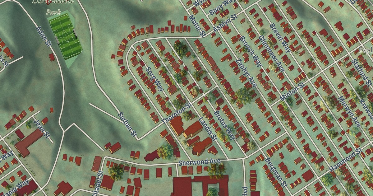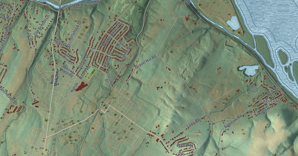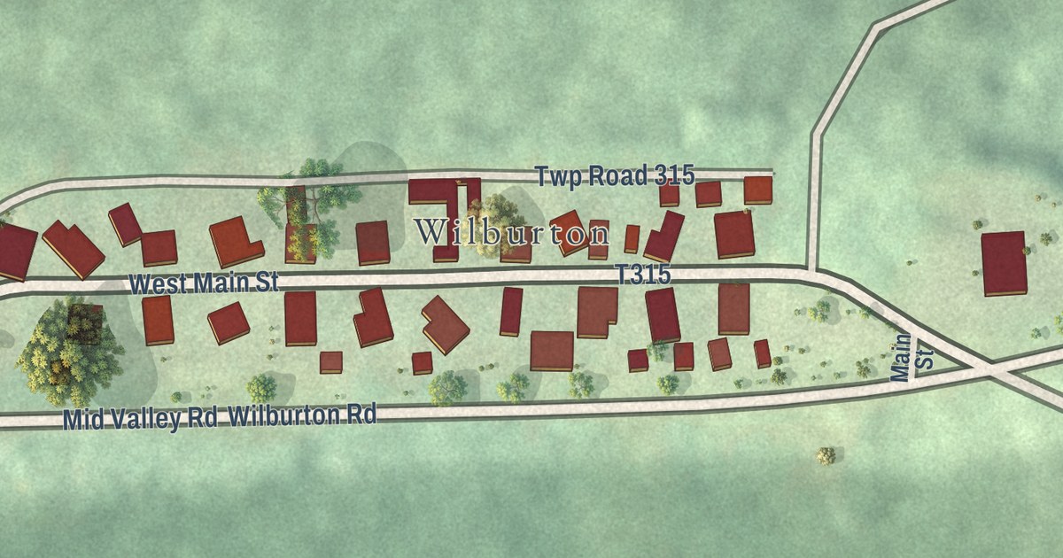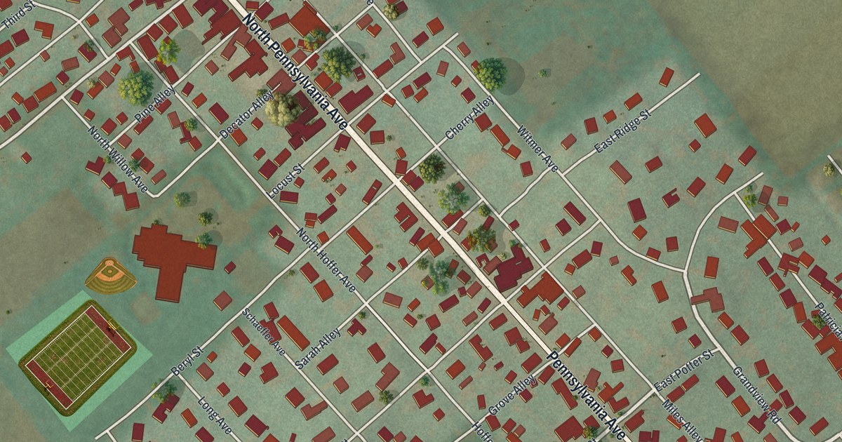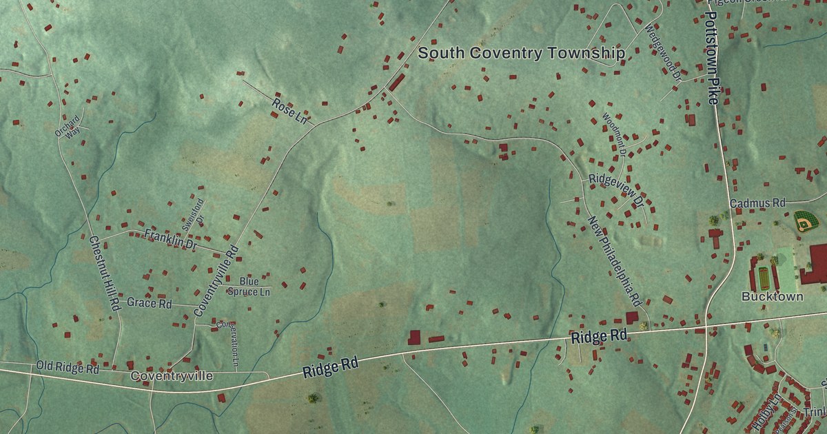
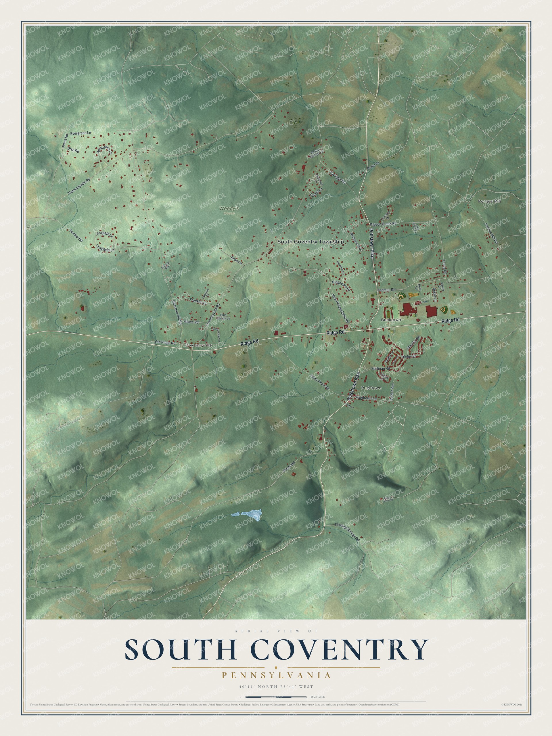
This beautifully detailed map of South Coventry, Pennsylvania was created in 2026 using aerial imagery combined with modern topographical, census, street and landmark data. It’s a one-of-a-kind view of South Coventry that combines accurate data with a vintage aesthetic. The map shows every building in its true location, many of the roads carry their names, and the shaded topographic relief shows the shape of the land.
Explore an aerial view of South Coventry, Pennsylvania
On the map you’ll find South Coventry Township, Porters Mill, Coventryville, Pughtown, Bucktown, and Woody’s Woods, along with Pottstown Pike, Ridge Road, Harmonyville Road, Coventryville Road, Chestnut Hill Road, New Philadelphia Road, and more. If you look closely you can even find your house accurately drawn in its correct location. Zoom in on the preview to look for yours.
Did you know this piece of South Coventry, Pennsylvania history?
From MyChesCo: "Coventryville became more than a workplace. It was a self-contained industrial community, a place where ironmasters, laborers, tradesmen, and families lived within the rhythms of the forge."
Take a closer look at the South Coventry map
Street and place names on the South Coventry, Pennsylvania map
These names are printed on the map of South Coventry, Pennsylvania.
Places: South Coventry Township, Porters Mill, Coventryville, Pughtown, Bucktown and Woody's Woods.
Streets and roads: Pottstown Pike, Ridge Road, Harmonyville Road, Coventryville Road, Chestnut Hill Road, New Philadelphia Road, Cadmus Road, Pigeon Creek Road, Foxgayte Lane, Daisy Point Road, Young Road, Old Ridge Road.
More street names, A to Z
Bealer Road, Bertolet School Road, Blue Spruce Lane, Chestnut Lane, Conservation Lane, Dise Road, Dunbar Road, Evergreen Lane, Favinger Road, Florence Drive, Flowing Springs Road, Foxgate Lane, Franklin Drive, Grace Road, Hartman Road, Holby Lane, Horseshoe Lane, Hultz Lane, Jones Road, Laurel Lane, Lindley Lane, Little Brook Lane, Orchard Way, Pearson Street, Porters Mill Road, Prizer Road, Pughtown Road, Rabbit Run, Ridgeview Drive, Robin Lane, Rose Lane, Ruth Lane, Stauffer Road, Sweisford Drive, Trinley Street, Vaune Lane, Walnut Springs Lane, Wedgewood Drive, Woodmont Drive.
See the South Coventry, Pennsylvania map on a wall
The South Coventry map as an 18 x 24 inch print in a black frame.

This beautifully detailed map of South Coventry makes an attractive addition to your office, library, or den, and it can even be used to teach children the geography and history of the area. It also makes a great gift for anyone with South Coventry roots. When you’re done exploring, click here to get your copy of the South Coventry map.