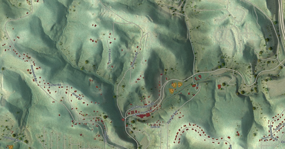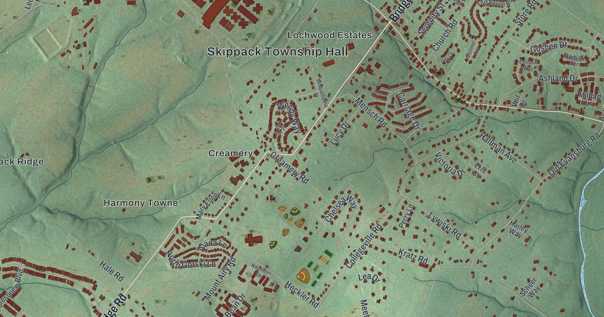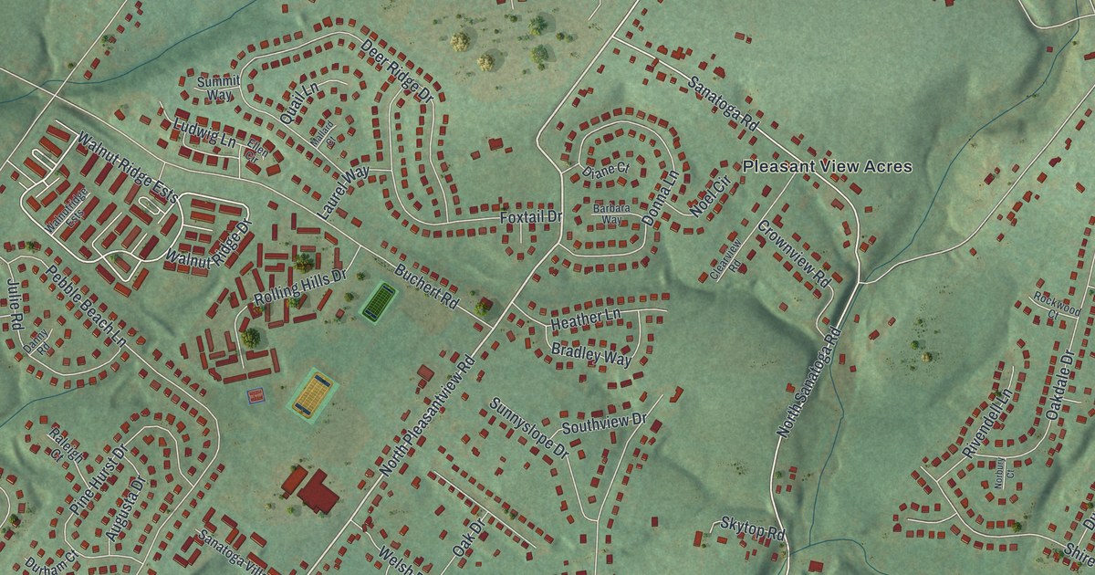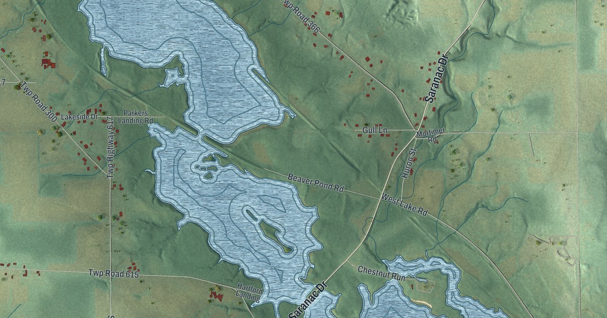
This beautifully detailed map of South Pymatuning, Pennsylvania was created in 2026 using aerial imagery combined with modern topographical, census, street and landmark data. It’s a one-of-a-kind view of South Pymatuning that combines accurate data with a vintage aesthetic. The map shows every building in its true location, many of the roads carry their names, and the shaded topographic relief shows the shape of the land.
Explore an aerial view of South Pymatuning, Pennsylvania
On the map you’ll find Pritchards Corner, Orangeville, Five Points, and Twp Road 318, along with Tamarack Drive, Ivanhoe Road, Saranac Drive, North Hermitage Road, Brockway-Sharon Road, Orangeville Road, State Line Road, and more. If you look closely you can even find your house accurately drawn in its correct location. Zoom in on the preview to look for yours.
Did you know this piece of South Pymatuning, Pennsylvania history?
South Pymatuning Township, in Mercer County, holds the Pennsylvania side of Orangeville, a village on Pymatuning Creek that lies mostly in Ohio. Its first settler, Jacob Loutzenhiser, built a hewed log saw and grist mill there in 1798. A huge undershot wheel, 25 feet across, drove it. A mill still stood at that spot in 1888. That’s from the 1888 History of Mercer County, Pennsylvania.
Take a closer look at the South Pymatuning map
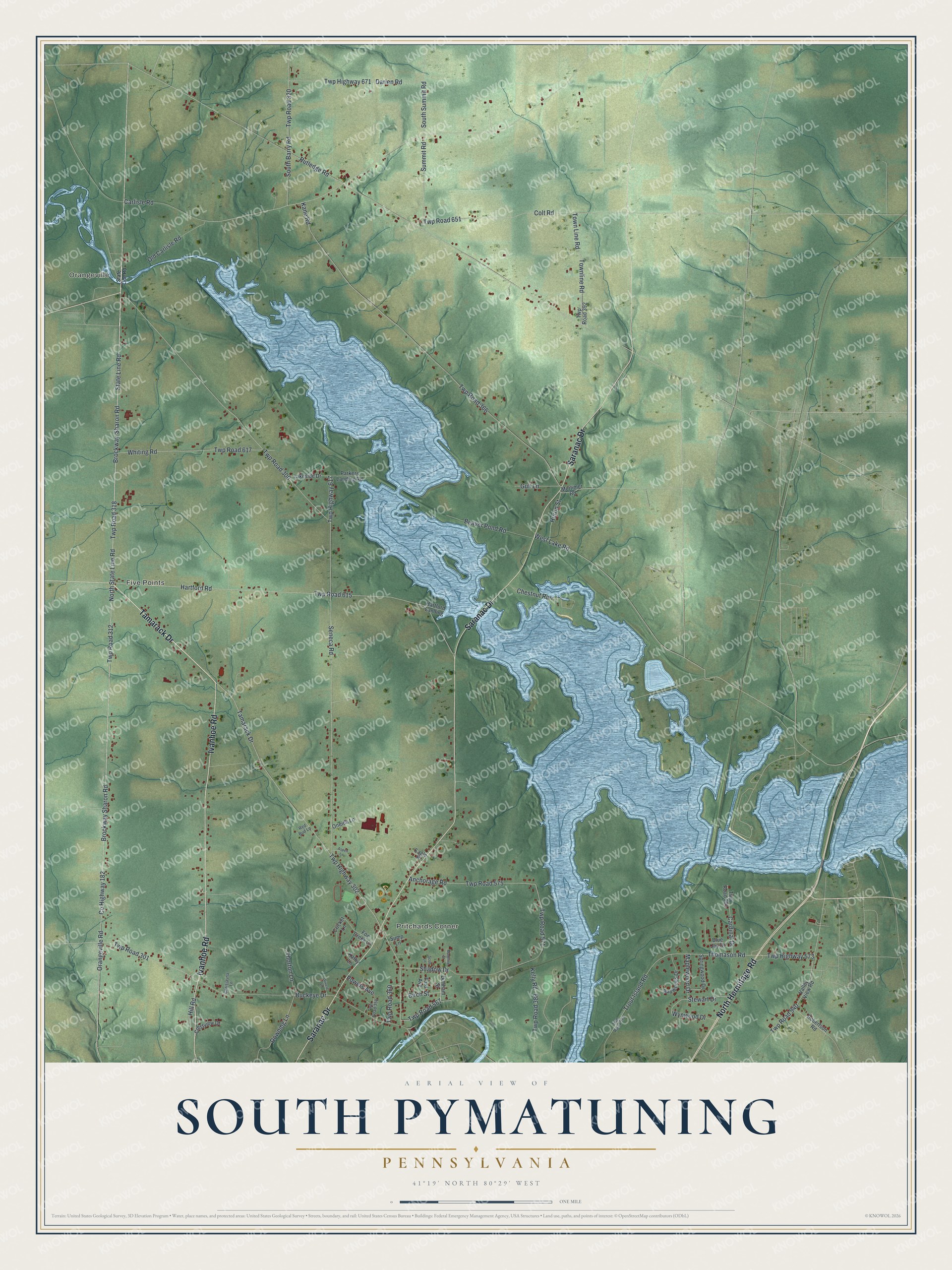
Street and place names on the South Pymatuning, Pennsylvania map
These names are printed on the map of South Pymatuning, Pennsylvania.
Places: Pritchards Corner, Orangeville and Five Points.
Streets and roads: Tamarack Drive, Ivanhoe Road, Saranac Drive, North Hermitage Road, Twp Road 318, Brockway-Sharon Road, Brockway Sharon Road, Orangeville Road, State Line Road, County Highway 182, Twp Highway 302, Twp Road 567.
More street names, A to Z
Anchorage Road, Aspen Lane, Baywoods Drive, Beaver Pond Road, Birch Street, Blue Jay Drive, Buckeye Drive, Cardinal Drive, Carlisle Road, Chestnut Run, Chrisjayna Lane, Colt Road, Crestview Drive, Cricket Lane, Darien Road, Downing Lane, Drivere Lane, Dunham Street, Eagle Place, Ford Avenue, Fox Creek Lane, Gull Lane, Hartford Landing, Hartford Road, Hill Road, Huron Street, Kane Road, Kathy Lane, Kelly Road, Lakeside Drive, Madeline Street, Maplewood Drive, Mortimer Road, North State Line Road, Old Carlisle Road, Oneida Lane, Parkers Landing Road, Powers Avenue, Red Bud Lane, Robertson Road, Rutledge Road, Scott Lane, Seneca Road, Shadow Drive, South Barry Road, South Summit Road, Springwood Drive, Stewart Drive, Summit Road, Sump Lane, Thomason Road, Thorton Lane, Town Line Road, Townline Road, Trout Island Road, Twp Highway 573, Twp Highway 617, Twp Highway 671, Twp Road 300, Twp Road 301, Twp Road 312, Twp Road 320, Twp Road 358, Twp Road 360, Twp Road 366, Twp Road 388, Twp Road 392, Twp Road 571, Twp Road 573, Twp Road 575, Twp Road 591, Twp Road 615, Twp Road 617, Twp Road 651, Twp Road 940, Valley View Road, West Lake Road, Whiting Road, Wynwood Drive.
See the South Pymatuning, Pennsylvania map on a wall
The South Pymatuning map as an 18 x 24 inch print in a black frame.

This beautifully detailed map of South Pymatuning makes an attractive addition to your office, library, or den, and it can even be used to teach children the geography and history of the area. It also makes a great gift for anyone with South Pymatuning roots. When you’re done exploring, click here to get your copy of the South Pymatuning map.