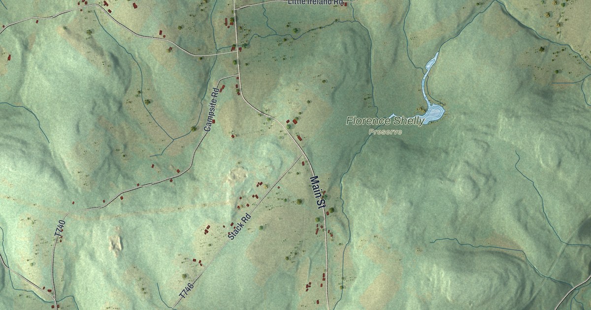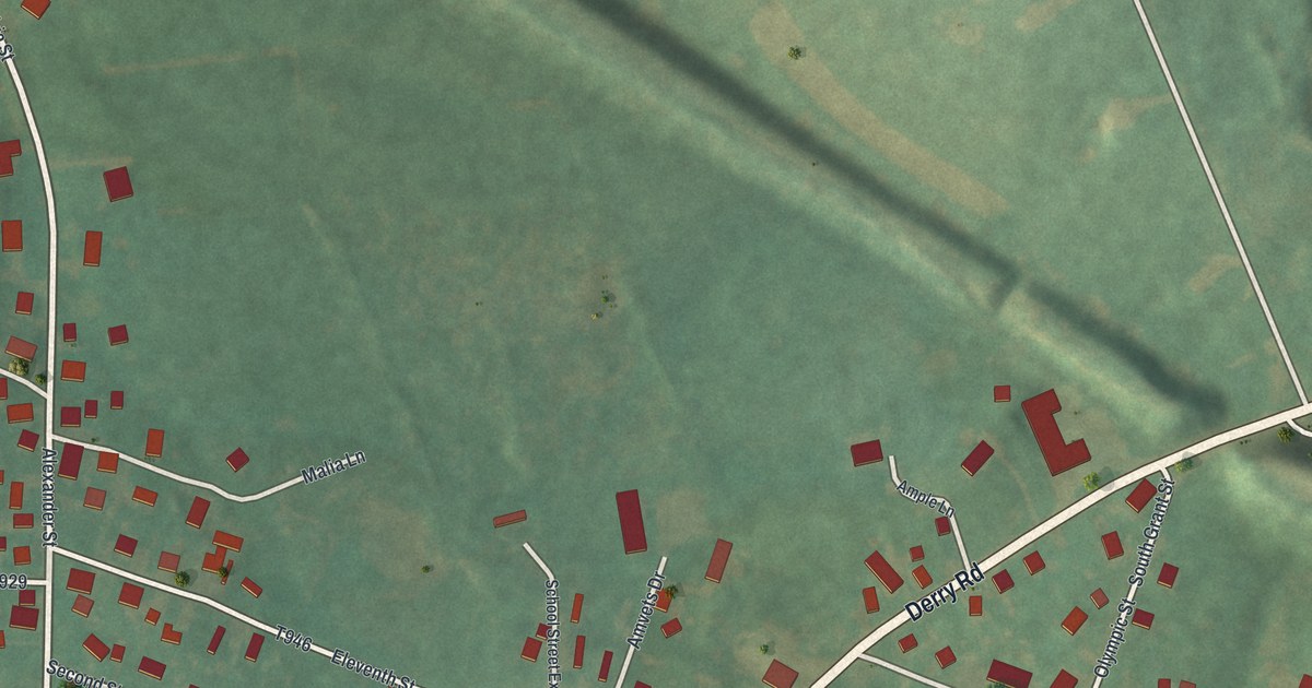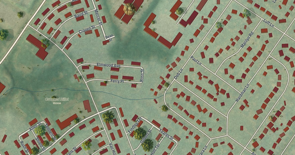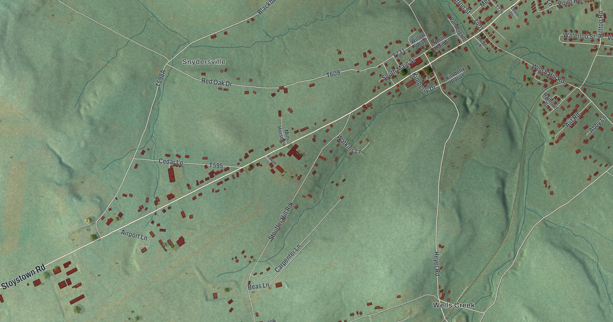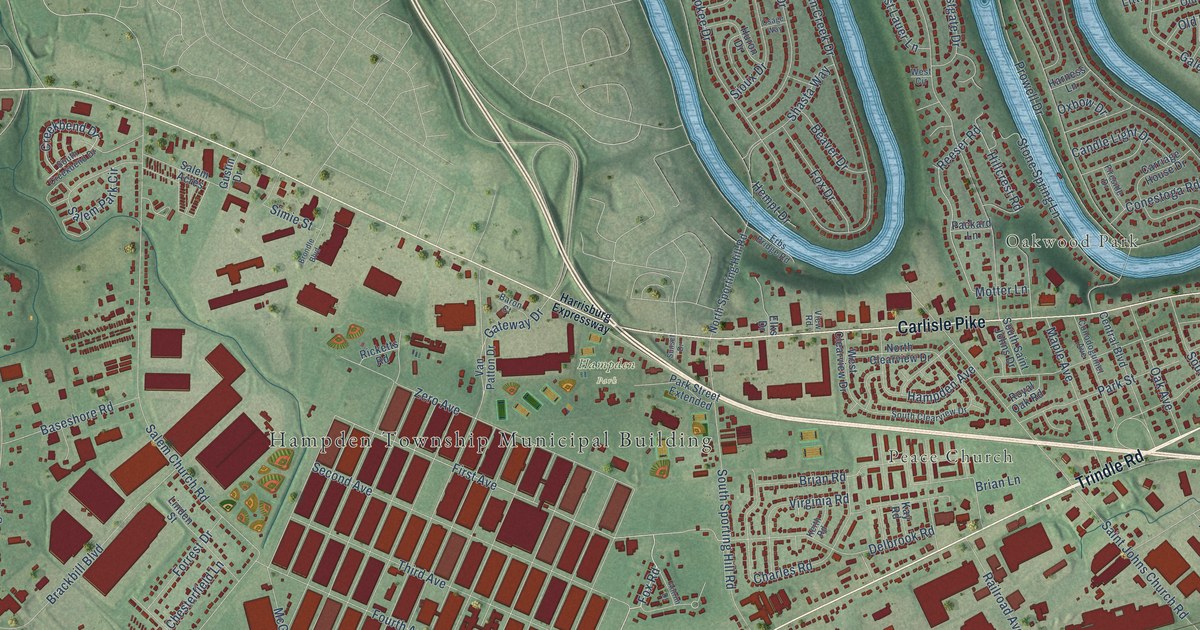
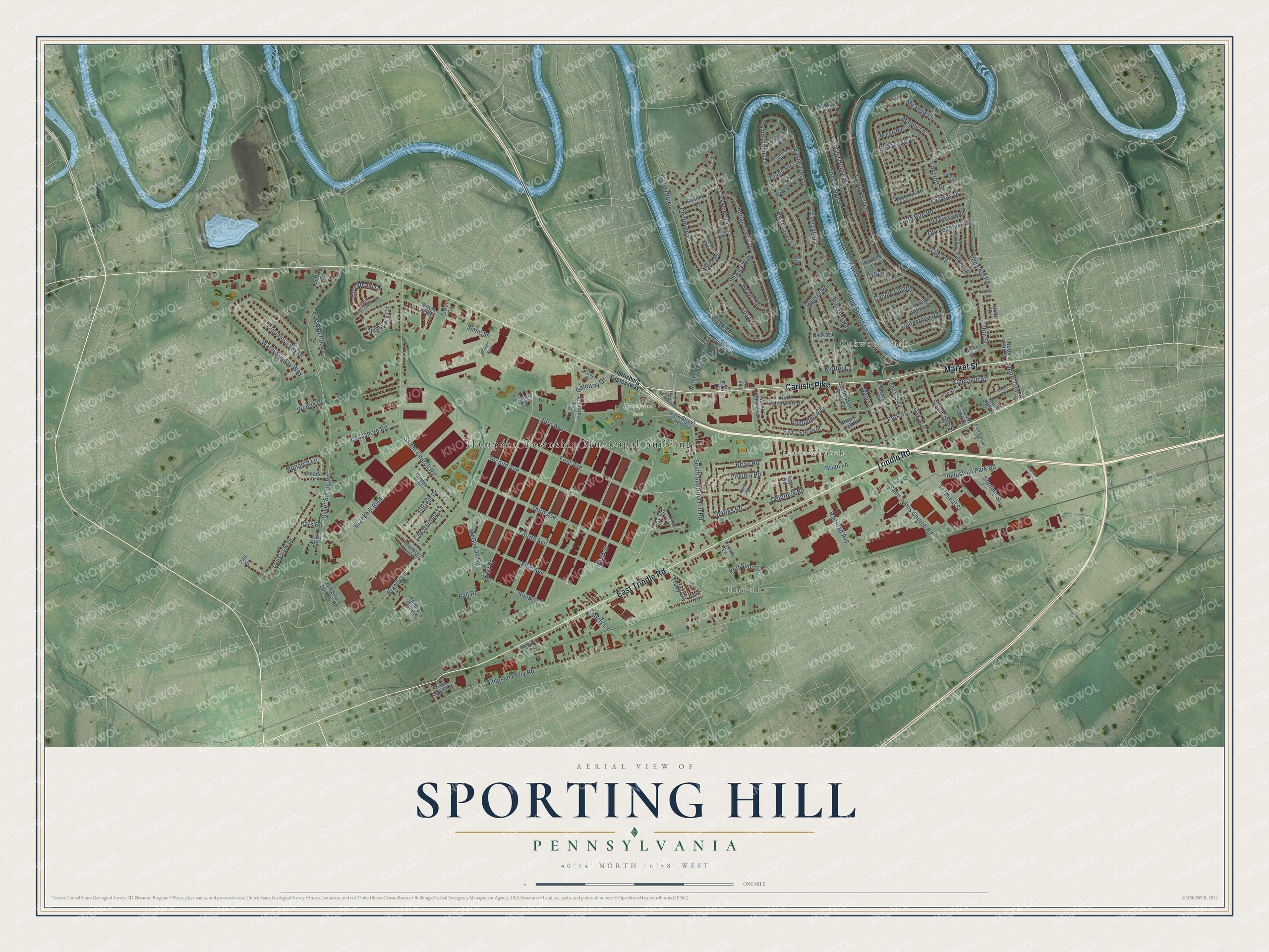
This beautifully detailed map of Sporting Hill, Pennsylvania was created in 2026 using aerial imagery combined with modern topographical, census, street and landmark data. It’s a one-of-a-kind view of Sporting Hill that combines accurate data with a vintage aesthetic. The map shows every building in its true location, many of the roads carry their names, and the shaded topographic relief shows the shape of the land.
Explore an aerial view of Sporting Hill, Pennsylvania
On the map you’ll find Hampden Township Municipal Building, Peace Church, Oakwood Park, Hampden Park, and Howell, along with East Trindle Road, Trindle Road, Carlisle Pike, Market Street, Fox Road, First Avenue, Reeser Road, and more. If you look closely you can even find your house accurately drawn in its correct location. Zoom in on the preview to look for yours.
Did You Know?
From Internet Archive: "In 1868 White Oak Church was again divided by a line extending from Marietta via Mount Joy and Sporting Hill to Manheim by nearest road, and thence by nearest road to Mount Hope."
Sporting Hill is a community in Cumberland County.
Take a closer look at the Sporting Hill map
Names on this map
These names are printed on this map.
Places: Hampden Township Municipal Building, Peace Church, Oakwood Park, Hampden Park and Howell.
Streets and roads: East Trindle Road, Trindle Road, Carlisle Pike, Market Street, Fox Road, First Avenue, Reeser Road, Hillcrest Road, Silver Spring Road, Lamp Post Lane, Orrs Bridge Road, Saint Johns Drive.
More street names, A to Z
36th Street, Admiral's Quay Drive, Antrim Drive, Ball Road, Baron Court, Baseshore Road, Beaver Drive, Bellows Drive, Brackbill Boulevard, Brandy Lane, Brandy Lane Trailer Court, Brian Lane, Brian Road, Briarwood Lane, Brondle Boulevard, Brook Road, Bryce Road, Candle Light Drive, Carriage House Drive, Central Boulevard, Charles Road, Cherokee Drive, Chesterfield Lane, Chestnut Street, Cicada Drive, Cloudless Sky Drive, Colony Road, Conestoga Road, Conodoguinet Avenue, Countryside Lane, Creekbend Drive, Delbrook Road, Deubler Road, Eastgate Drive, East Lauer Lane, East Locust Street, East Road, East Street, Elks Drive, Erbs Bridge Road, Fairway Drive, Fallowfield Road, Fetrow Drive, Fifth Avenue, Fireside Drive, Forrest Drive, Fourth Avenue, Foxcroft Drive, Fox Drive, Freight Street, Gale Road, Gateway Drive, Good Hope Road, Green Street, Gustin Drive, Hampden Avenue, Harness Lane, Harrisburg Expressway, Hempt Drive, Holly Drive, Huron Drive, Indian Creek Drive, Industrial Park Road, Jeffrey Drive, Kay Road, Keith Road, Kohler Place, Kunkle Lane, Linden Street, Little Run Road, Lois Lane, Longview Drive, Lori Circle, Mandy Lane, Maple Avenue, Margo Road, McGowan Road, Meadow Lane, Monarch Lane, Motter Lane, North 35th Street, North Clearview Drive, Northgate Drive, North Sporting Hill Road, North Street, Oak Avenue, Old Federal Road, Old Pioneer Road, Old Silver Springs Road, Osage Way, Oxbow Drive, Packard Lane, Park Road, Park Street, Park Street Extended, Pawnee Drive, Penn Ayr Road, Port Side Circle, Presbyterian Drive, Prowell Drive, Railroad Avenue, Ricketts Road, Rife Drive, Rodney Lane, Royal Oak Road, Saint Johns Church Road, Salem Acres, Salem Church Road, Salem Park Circle, Second Avenue, Seneca Drive, Shasta Way, Sheely Lane, Simie Street, Simpson Ferry Road, Sioux Drive, Sixth Street, South 35th Street, South 36th Street, South 38th Street, South 39th Street, South Clearview Drive, South Creekbend Drive, South Saint Johns Drive, South Sporting Hill Road, Spring House Road, Sterling Street, Stone Spring Lane, Sunset Drive, Terminal Street, Third Avenue, Trudy Circle, Van Patton Drive, View Road, Vine Street, Virginia Road, Warm Sunday Way, West Circle, West Clearview Drive, West Lauer Lane, Winfield Drive, Woods Drive, Wood Street, Zero Avenue.
See it on a wall
The Sporting Hill map as a framed print. Swipe for more.


This beautifully detailed map of Sporting Hill makes an attractive addition to your office, library, or den, and it can even be used to teach children the geography and history of the area. It also makes a great gift for anyone who grew up in Sporting Hill or moved away. When you’re done exploring, click here to get your copy of the Sporting Hill map.