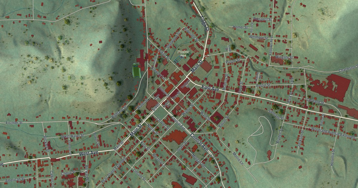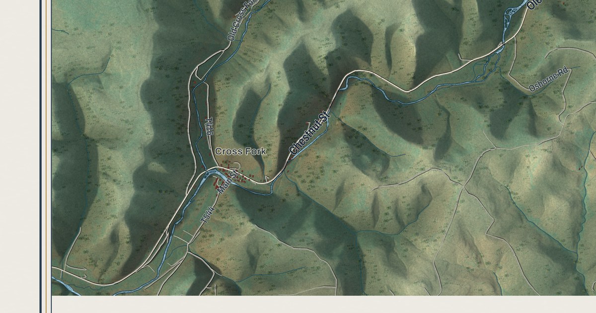
If you grew up in Cross Fork, have family near Oleona, or keep a camp up one of these hollows, this map was made with you in mind. It's Stewardson Township in Potter County, Pennsylvania, shown as a modern aerial view built from modern data and given a vintage look. Steep green ridges fill the whole sheet, with deep hollows cut between them. Ole Bull Road runs down a long valley from Oleona to Cross Fork, and the buildings are marked in small red shapes along the way. Explore the print options for Stewardson.
Ole Bull Road from Oleona to Cross Fork
Start at Oleona, near the top center of the map, where Ole Bull Road meets Pine Hill Road. Follow Ole Bull Road southwest down the valley. A creek runs beside it the whole way, though it isn't labeled. About halfway down, Joerg Run Road turns off to the southeast. Farther on, Osborne Road branches off near the bottom. Near the bottom left corner, Ole Bull Road turns into Chestnut Street, which carries you into Cross Fork and meets Main Street. From there, Old Cross Fork Road heads north past Gravel Lick and Camp Savage Lane, with the Hammersley Wild Area printed in the hills beside it. Now go back to Oleona and take Pine Hill Road east. It passes Rauch Road, Francis Road and Lebo Road on the way toward the Tiadaghton State Forest label in the top right. Farther along, Dyer Road and Big Dam Hollow Road branch off it. Many of the roads are named, and each small red mark is a building, so zoom in on the preview and look for your camp.
Oleona is where Stewardson's best story starts. According to a county history from 1890, the Norwegian violinist Ole Bull bought 11,144 acres in Abbott and Stewardson townships. It was mountain land, thick with forest and mostly hemlock. In 1852 he brought three hundred Norwegians and Danes here. He laid out four villages: Oleona, New Norway, New Bergen and Walhalla. At Walhalla, about a mile below Oleona, he started a big house on a hilltop that people called his "castle." The settlers knew mountains and cold winters, but they didn't know how to clear land. So they took the trees down by "grubbing," digging each one out by its roots. By 1853 Ole Bull had given up. He left the castle unfinished and went back to playing his violin in public, and most of the colony scattered.
A few families stayed. Henry Andresen had come with Ole Bull as his private secretary. He built the township's first store at Oleona in 1854, and he was still running it when that 1890 history was written. The first school was built at New Norway in 1853, and its first teacher was Miss Beza Rock of Jamestown, New York. The map doesn't mark New Norway or the castle. Oleona is still printed, though, right where the road with Ole Bull's name meets Pine Hill Road. The same history lists the township officers for 1890, and James Impson, Martin Joerg and Edward Joerg are on it. Look in the middle of the sheet and you'll find Impson Hollow Road and Joerg Run Road.
For anyone with a camp between Oleona and Cross Fork
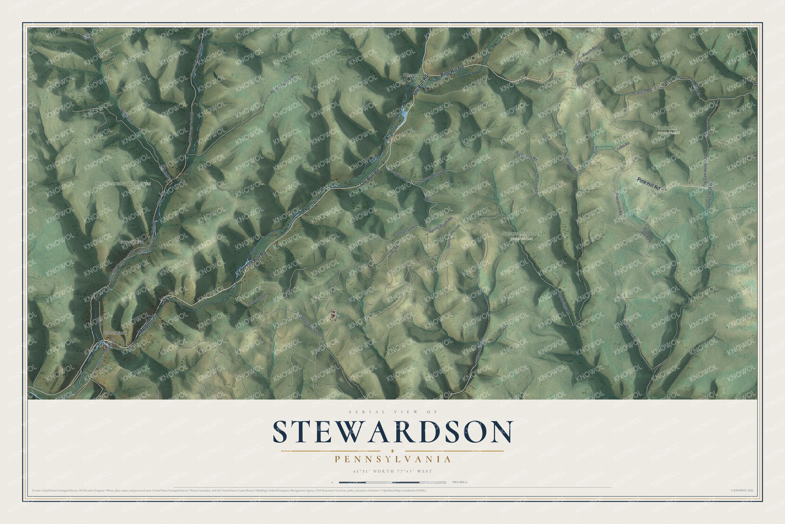
Created by KNOWOL in 2026, this map of Stewardson fits a camp wall, a den or an office. The ridges are shaded from USGS elevation data, so the hollows show the real shape of the land. The title panel reads "Aerial View of Stewardson, Pennsylvania," with the coordinates 41°31' North, 77°43' West and a two-mile scale bar.
It's a good gift for someone who grew up in Cross Fork, has family near Oleona, or comes back to a camp in these hills every year. Open the preview, zoom in and follow Ole Bull Road down to the turn you know. Shop the Stewardson, Pennsylvania map.