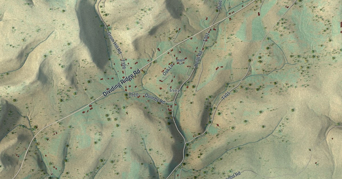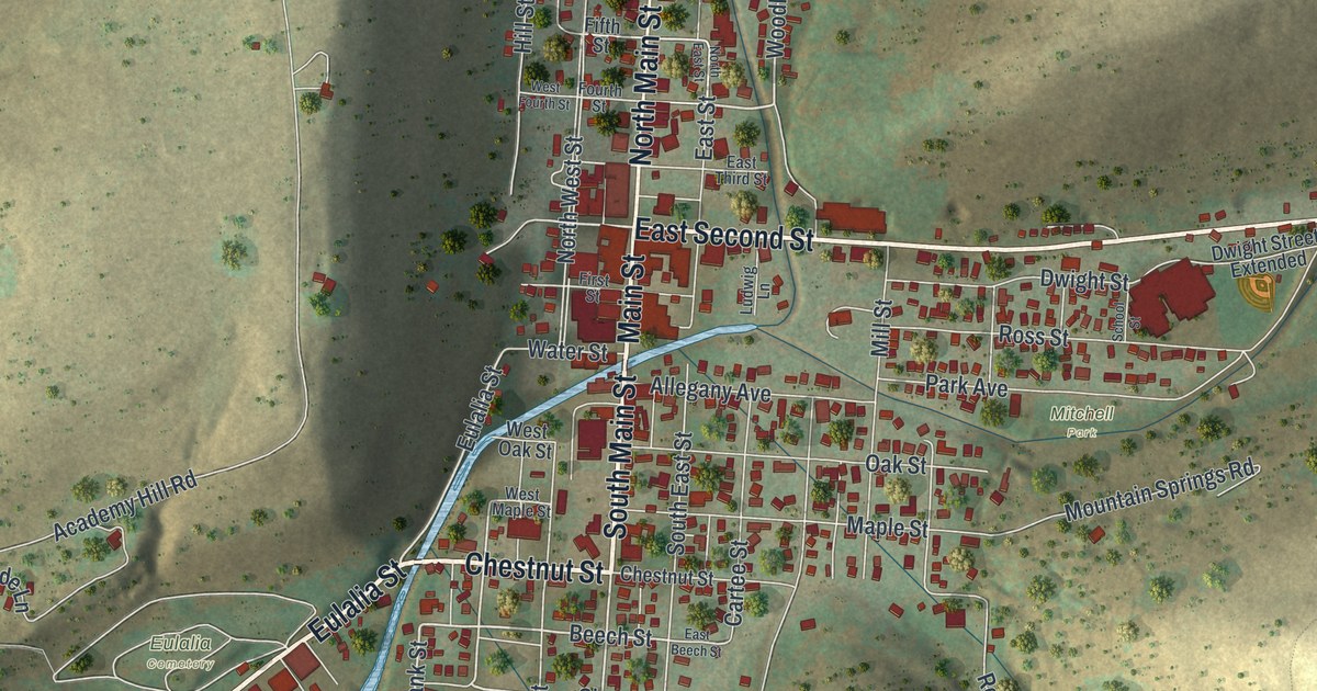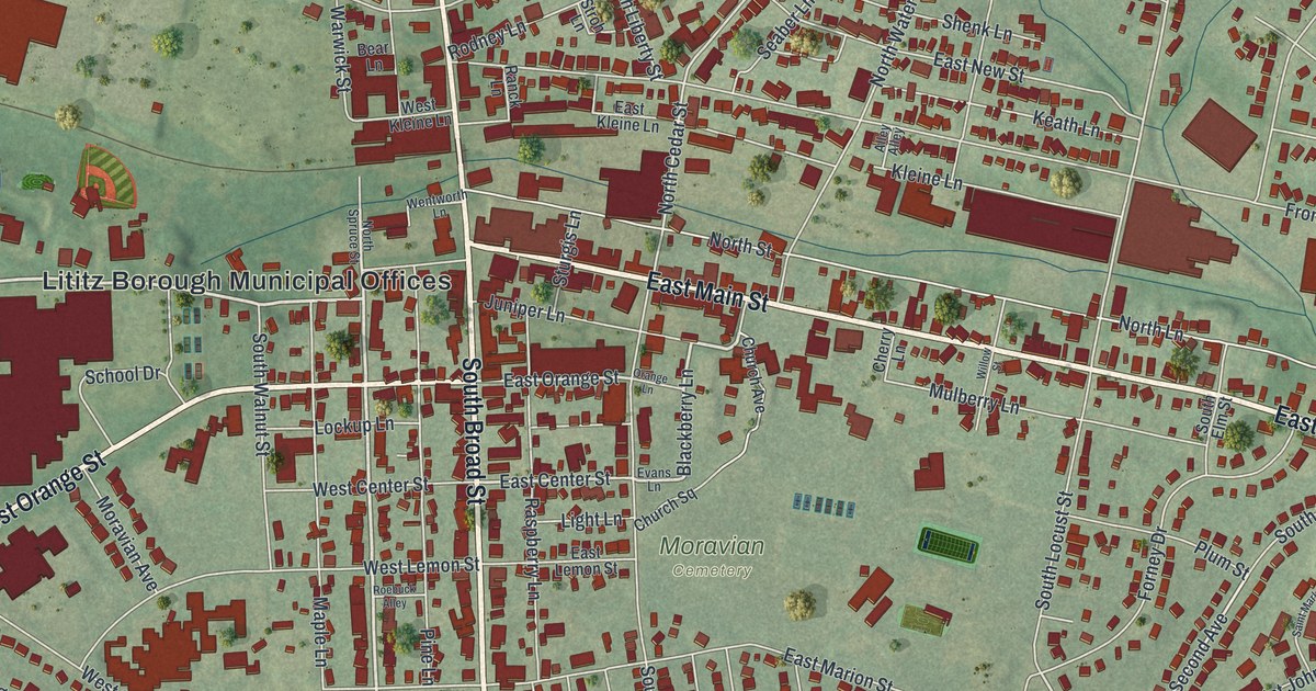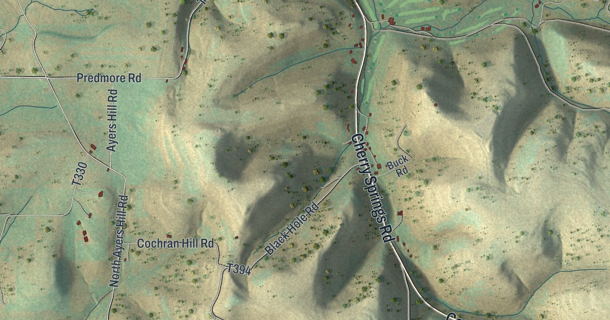
If you grew up in Summit Township, drive Cherry Springs Road over the hills, or have family out near Borie, this map shows the high country you know. It's a modern aerial view of Summit Township in Potter County, Pennsylvania, made from modern data with a vintage feel. Deep hollows cut the high ground in every direction, shaded in sage green and sand. Almost 500 buildings are marked, spread thin along the roads. Borie is named on the left side, and the Susquehannock State Forest label sits near the bottom right. Explore the print options for Summit, Potter County.
Ayers Hill Road, Cherry Springs Road and Borie
Start at the top left, where Cherry Springs Road comes down into the sheet. Just to the west, Ayers Hill Road runs north and south, with Predmore Road and Cochran Hill Road close by. Now follow Cherry Springs Road southeast. For a stretch its label reads Coudersport-Jersey Shore Hwy. Billy Lewis Road branches off to the northeast and turns into Sunken Branch Road. Stay on the long diagonal toward the right side of the sheet. Past Red Gate Lane, Alabama Trail and Chipmunk Trail branch off near the right edge. Rock Ridge Road heads back to the southwest. Now go back to the left edge. First Fork Road runs down the valley there, past Borie, where Black Hole Road and Deering Run Road come in. Nelson Run Road and Wild Boy Road are labeled near the bottom. Many roads are named, and each small red mark is a building, so zoom in on the preview and look for yours.
An 1890 county history lists the 20 taxpayers Summit Township had in 1855. Alfred and George Ayers are on it. So are four Nelsons: Silas, James, Ira and Mason. The book says Ayers' Hill is in the northwest corner of the township. Borie post office is in the southwest, and the village of Prouty is near the center. In 1890 the township picked its officers, and three more Ayers were among them. Martin Watson was judge of election, and Lester Watson was assessor. The book doesn't say which roads were named for whom. But look at the map today. Ayers Hill Road is up in the top left corner. Nelson Run Road and Watson Farm Road are labeled near the bottom. Prouty isn't labeled, but Prouty Road and Prouty Lick Road are.
The same history calls Summit a huge plateau, cut deep in the middle by the East Fork of the Sinnemahoning. It pictures a farmer looking out at the spring and fall rains. The drops, it says, pick a way to go, either to the Chesapeake or to the Mississippi. The creeks aren't labeled on this print, but the dark hollows show where the water runs. In 1880, 202 people lived in Summit Township. The 2020 census counted 131.
For anyone with family near Borie or up on Ayers Hill
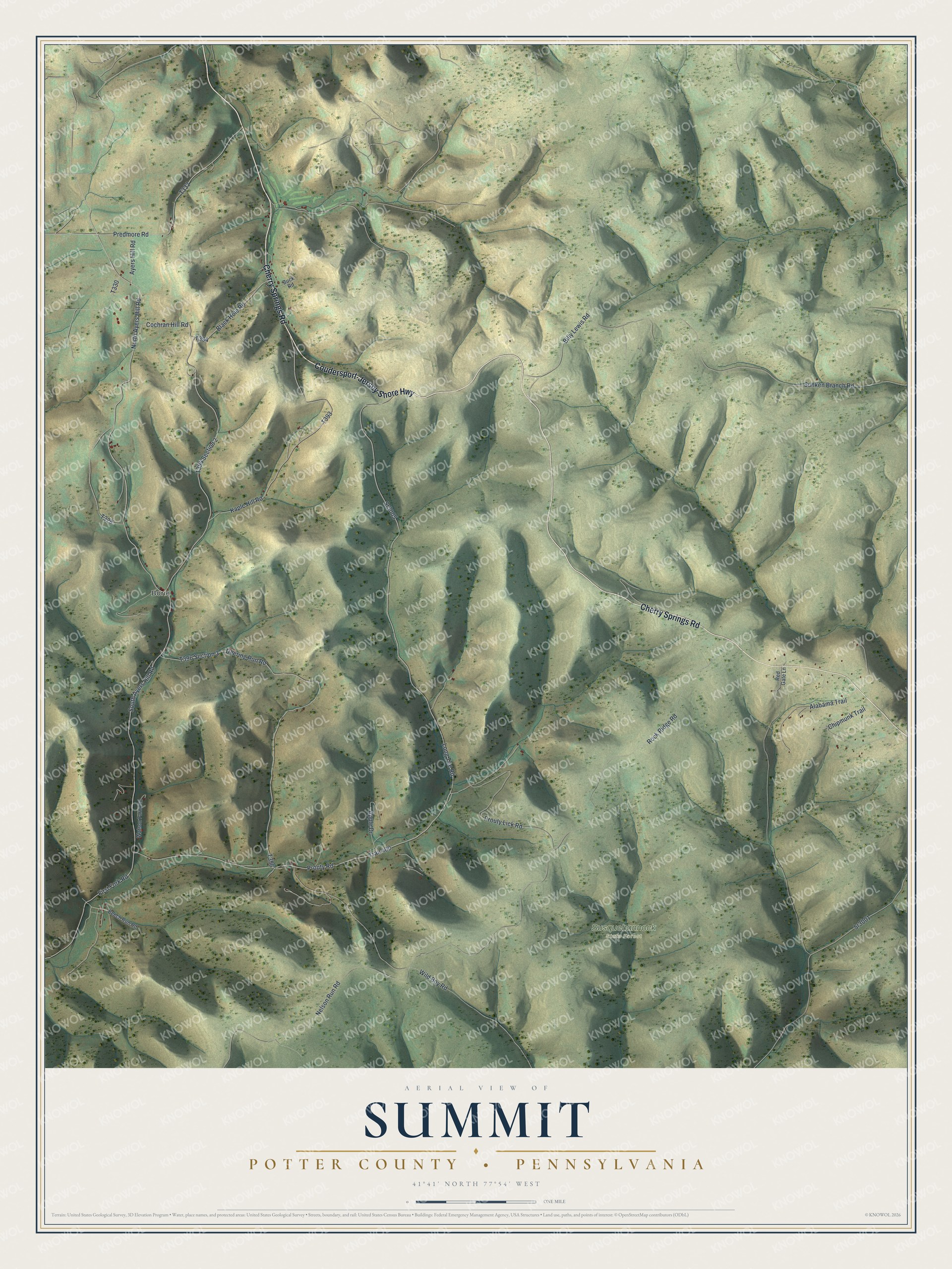
Created by KNOWOL in 2026, this map of Summit suits a den, an office or a cabin wall. The hills are shaded from USGS elevation data, and the roads come from Census Bureau records. The title panel reads "Aerial View of Summit, Potter County, Pennsylvania," with the coordinates 41°41' North, 77°54' West and a one-mile scale bar.
It's a good gift for someone who grew up in Summit Township, still has family on these back roads, or moved away from Potter County years ago. Open the preview and follow First Fork Road down to Borie, then look for your own road. Shop the Summit, Potter County, Pennsylvania map.