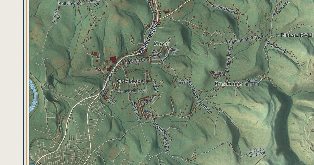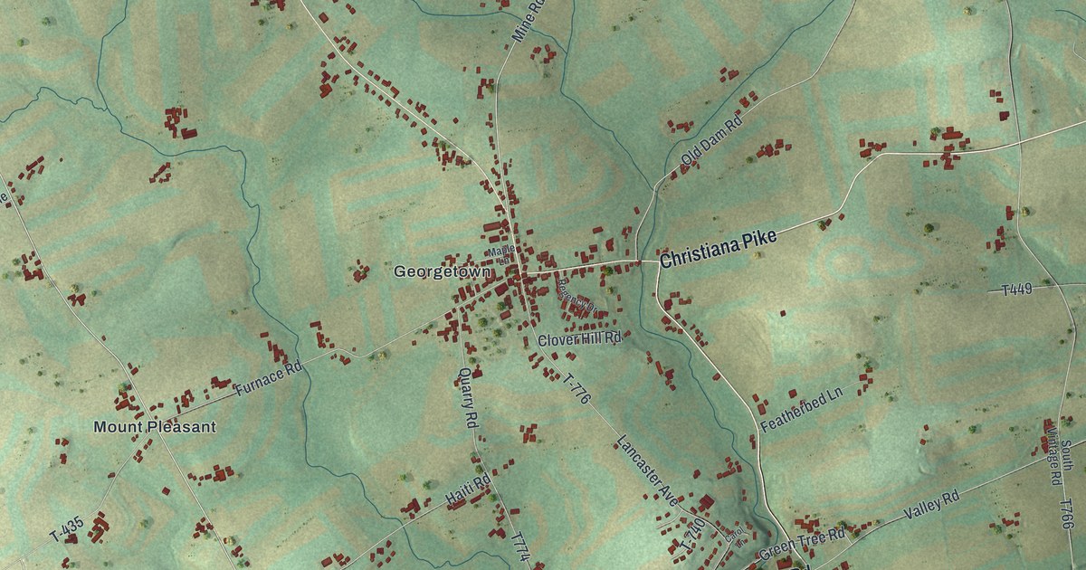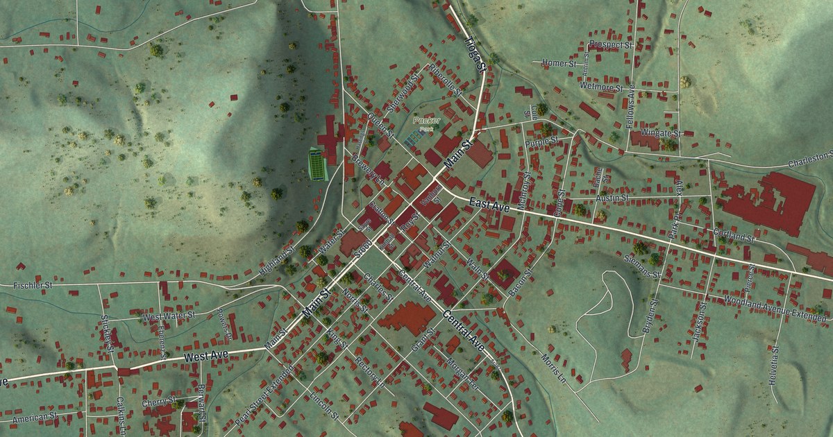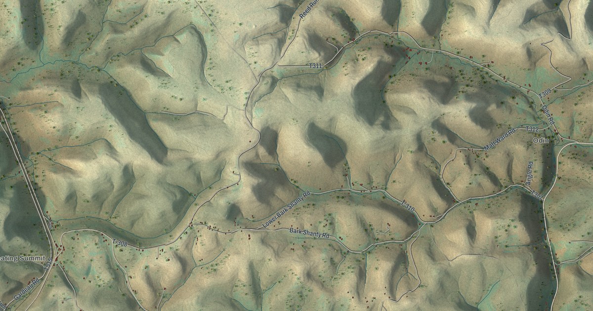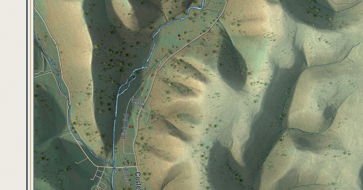
If you have family in these hills, drive First Fork Road, or know Susquehannock State Forest, this map has your country on it. It's a modern aerial view of Sylvania Township in Potter County, Pennsylvania, made from modern data and given a vintage look. Steep hills are shaded in soft green and tan. Narrow creek valleys cut between them, and the roads follow the water. Buildings show up as small red marks along those roads. Explore the print options for Sylvania, Potter County.
Costello Road, First Fork Road and Susquehannock State Forest
Start at the lower left, where Costello Road follows a creek up from the bottom edge. Miller Lane turns off it on the way. Keep going north and Costello Road meets First Fork Road. Right by that corner, Windy Boulevard and Squeek Hill Road tuck in between the hills. Now follow First Fork Road northeast up the valley. Near the top center, Big Moores Run Road heads north, with Little Moores Run Road off to one side and Dutch Mare Lane close by. Crandall Road sits near the top right. Back in the middle, Susquehannock State Forest is labeled across the hills. Forestry Road runs south through it and turns into Nelson Run Road near the bottom, where Dancing Bear Lane meets it. Up in the top left, Elevenmile Road meets Southwoods Road. Many roads are named and each red shape is a building, so zoom in on the preview and look for yours.
In 1838, Eli Rees and John Glaspy moved from Philadelphia into the woods that are now Sylvania Township. They settled near the forks of the First Fork of the Sinnemahoning. The spot came to be called Rees Settlement. They came in by way of Jersey Shore. Past the turnpike there were no roads at all, so they chopped their own way through the forest. Their nearest neighbor lived five miles south. The next one the other way was nine miles off. That's how the 1890 county history by J.H. Beers & Co. tells it.
Isaac Rees did a bit of everything. He'd learned the gunsmith's trade in West Philadelphia, but here he became the first blacksmith. He taught the first school in the township, in a schoolhouse built in 1838. He also led a small church class, and he walked eight miles on Sunday to meet with it. The same history tells of Benjamin Berfield, who lay awake as a small boy until 1 o'clock in the morning. He was listening for his father's gun. His father was waiting for a bear that had killed his sheep, and the bear weighed 400 pounds. Rees Settlement isn't labeled on the map. Look at how First Fork Road squeezes between the hills, though, and you can see what cutting that first way in took.
For anyone with roots along First Fork Road
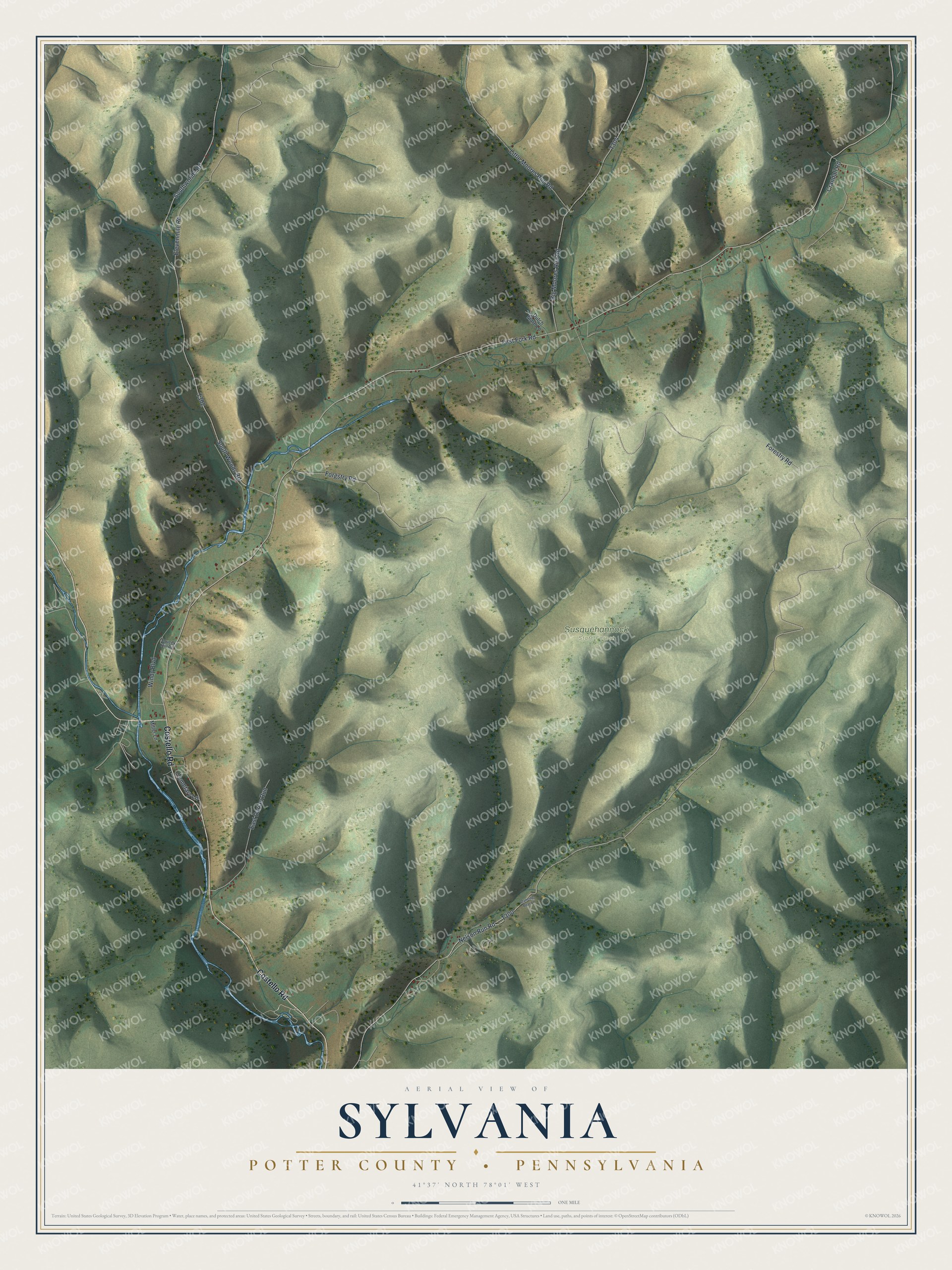
Created by KNOWOL in 2026, this map of Sylvania shows the township's hills and hollows in soft greens and tans, with the hill shading from USGS elevation data. The creeks are drawn in blue, and the buildings are small red marks along the valley roads. The title panel reads "Aerial View of Sylvania," with "Potter County • Pennsylvania" beneath it, the coordinates 41°37' North, 78°01' West and a one-mile scale bar.
It suits a camp wall, a den or a home office. It's a thoughtful gift for someone who grew up in Sylvania Township, has family on First Fork Road, or traces their roots to the Rees and Glaspy families. Open the preview, zoom in and follow First Fork Road up the valley. Shop the Sylvania, Potter County, Pennsylvania map.