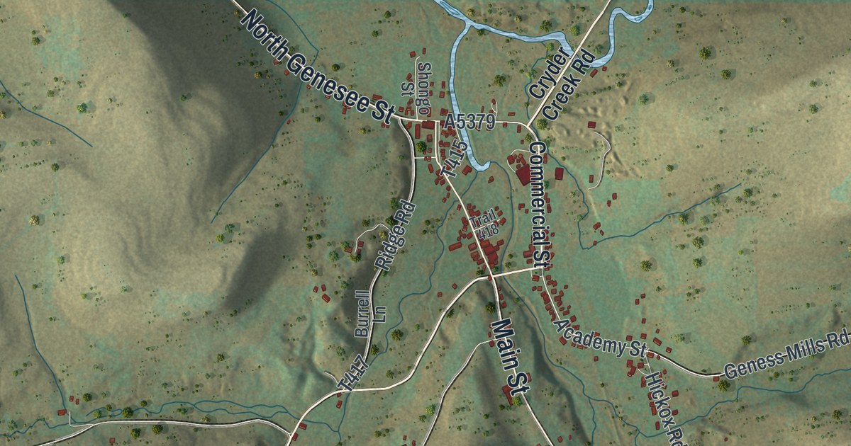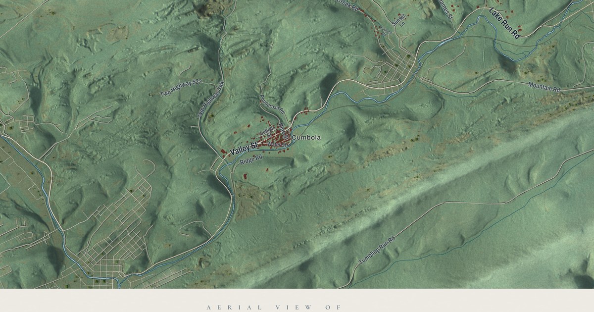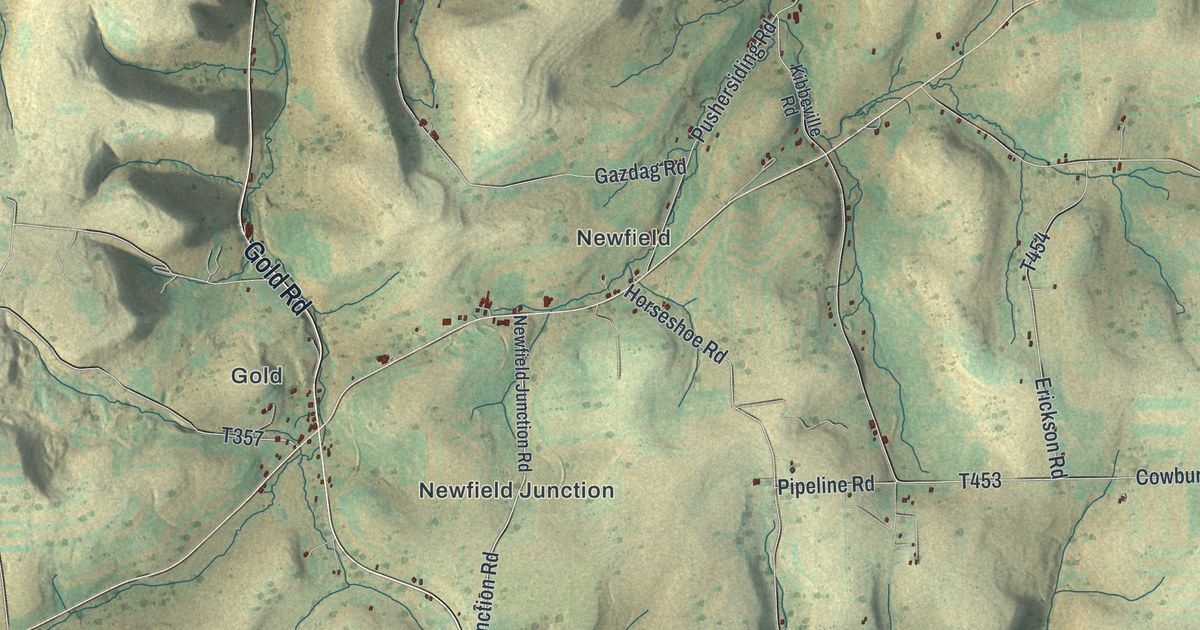
If your family comes from Brookland, Gold, Newfield or Fox Hill, this map has those places on it by name. It's a modern aerial view of Ulysses Township in Potter County, Pennsylvania, made from modern data and given a vintage look. The hills are shaded in green and gold, and the deep valleys between them stand out in shadow. Small red marks show the buildings along the back roads. The villages are labeled, and so are Denton Hill State Park and Susquehannock State Forest to the south. This is a map of the township. The borough of Ulysses isn't labeled on it. Explore the print options for Ulysses, Potter County.
Brookland, Fox Hill and the roads up to Gold
Start at Brookland, near the middle of the sheet. Sweden Hill Road comes in from the west, and North Brookland Road heads off to the northwest. Now take Fox Hill Road north. You'll pass Fox Hill, where Dykeman Road, Emmel Road and Tom May Road branch off. Keep going up to Cowburn Road and turn west. Kibbeville Road cuts across to Pushersiding Road, which runs through Newfield. From there, Gazdag Road heads west to Gold Road, and Gold sits in the top left corner. Newfield Junction is just below it.
Back at Brookland, South Brookland Road follows a long valley down toward Walton. Telescope Road passes Walton and Telescope, and Old Rte 6 meets Rock Run Road near Telescope. Ridge Road runs through Susquehannock State Forest in the bottom half of the sheet. Denton Hill State Park is in the bottom left. Many of the roads are labeled, and each red mark is a building, so zoom in on the preview and look for yours.
Brookland had another name first. According to the 1890 county history, a post office opened here in 1854 with Hosea Cushing in charge. The place was called Cushingville. In March 1857 the name was changed to Brookland. A man named Dent had built his home here, and he invited the ladies to a picnic to name it. Mrs. Timothy Ives picked Brookland. Dent also gave Potter County the clock in the courthouse tower. In 1888 a stone church went up at Brookland, built from stone dug nearby.
The same history says a German named Plagueman ran a tannery at Kibbeville in 1850. It says many a young man stood up to be married in boots made from Kibbeville leather. The tannery had closed by 1890. Kibbeville isn't labeled on the map, but Kibbeville Road is, up near Newfield where it meets Cowburn Road.
For anyone from Brookland, Newfield or Telescope
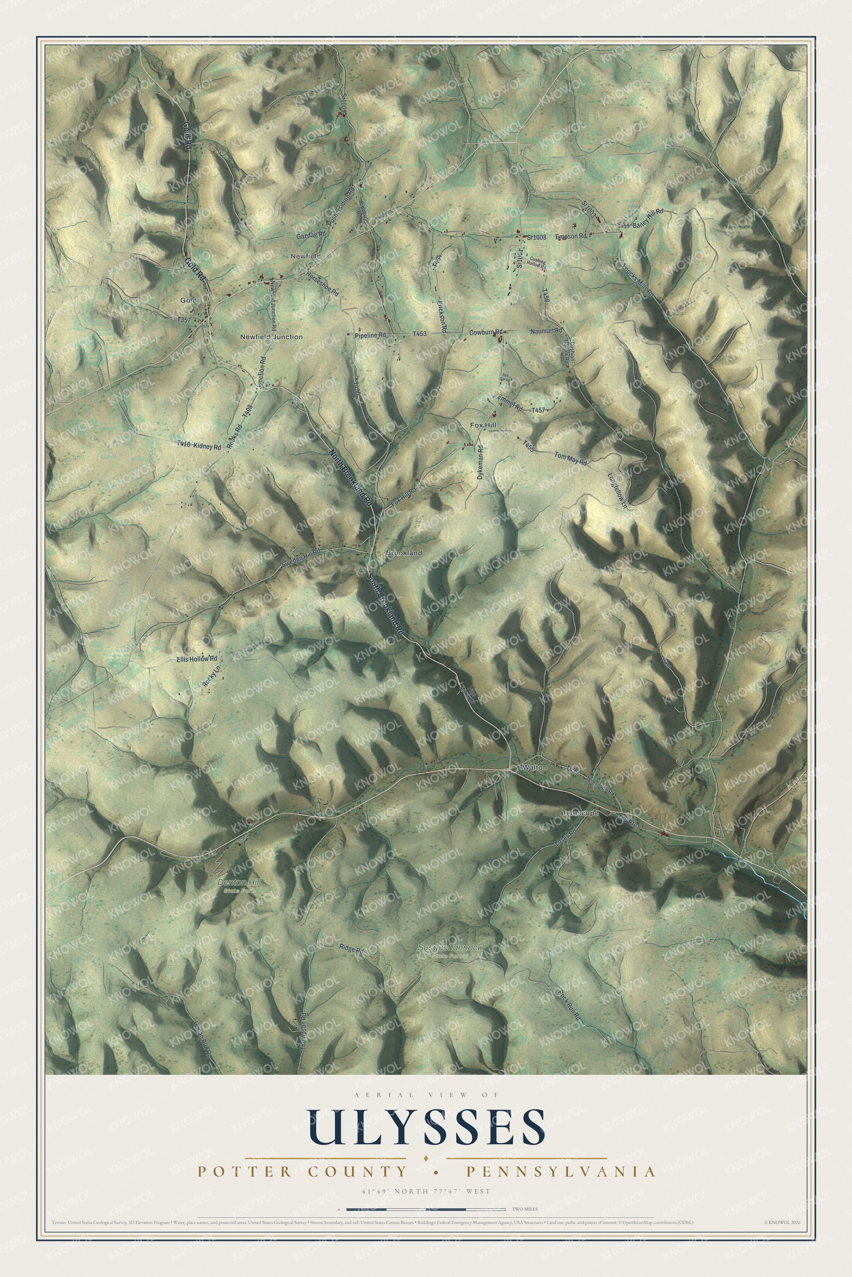
Created by KNOWOL in 2026, this map of Ulysses Township shows the hills in soft green and gold, with the buildings in small red marks. The shaded hills come from USGS elevation data. The title panel reads "Aerial View of Ulysses, Potter County, Pennsylvania," with the coordinates 41°49' North, 77°47' West and a two-mile scale bar.
It suits a den, a kitchen or a camp wall. It's a good gift for someone who grew up along Fox Hill Road or Gold Road and moved away, or for anyone with family still in the township. Open the preview, zoom in and find the road you know. Shop the Ulysses, Potter County, Pennsylvania map.