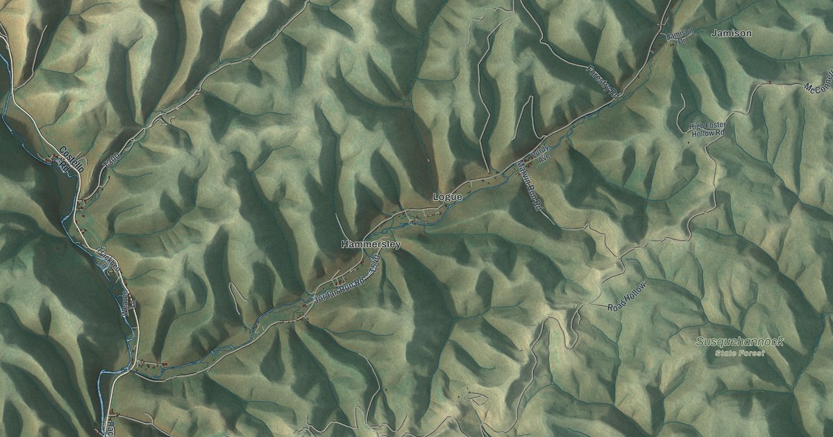
If you grew up in Wharton Township, have family near Hammersley or Berge Run, or head to a camp in these state forests each fall, this map has your hills on it. It's a modern aerial view of Wharton Township in Potter County, Pennsylvania, drawn from modern data with an old-fashioned, vintage look. The ridges are shaded in soft green, and deep hollows cut between them in every direction. Roads follow the creeks, and the buildings are marked along them. Elk State Forest, Sproul State Forest and Susquehannock State Forest are all named on the sheet. Explore the print options for Wharton, Potter County.
From Hammersley and Logue to Five Points
Start at Hammersley, in the middle of the sheet. Jordan Run Road comes in here, and so does a road printed simply as Forestry. Logue sits just up the valley to the northeast. Keep going that way and you'll reach Jamison and Conrad near the top right, with Wild Boy Road running past Conrad. From up there, McConnell Road makes a long run south. It meets Red Ridge Road and Windfall Road near the top, then Marvin Run Road and Road Hollow in the middle. It comes out at Five Points, near the bottom. At Five Points, Elk Lick Run Road heads west and Trout Run Road heads south toward the Sproul State Forest label. Over on the left side, Wharton Road runs down to Berge Run and Elk State Forest. Many of the roads are labeled and the buildings are marked, so zoom in on the preview and look for yours.
Here's a story to tell when someone asks about the map. Wharton Township was formed on May 3, 1826. At first it also took in land that's now Sylvania, Portage, Homer, Keating and part of Summit. An 1890 history of the county says John Berfield came to Wharton in 1816. He'd been born in Muncy in 1800. He moved in by canoe, coming up the First Fork of the Sinnemahoning with his family and his household goods. There were no roads yet. For supplies, he took his canoe all the way down to Muncy on a raft. Then he poled it back upstream, loaded with food, to his clearing. Deer and wild turkeys were plentiful.
The river stayed busy. Peaches grew well in Wharton until 1870. A man named Burlingame had a big orchard of peach, apple and pear trees. Every fall he built an "ark" and floated his fruit down the river to market. The same history says the first schoolhouse went up in 1845. Before that, school was taught from house to house. The First Fork isn't labeled on this print, but the big valleys are easy to see. Look how deep they cut around Wharton Road and Bailey Run Road, then picture that canoe trip with no road anywhere on the sheet.
For anyone with roots near Hammersley and Wharton Road
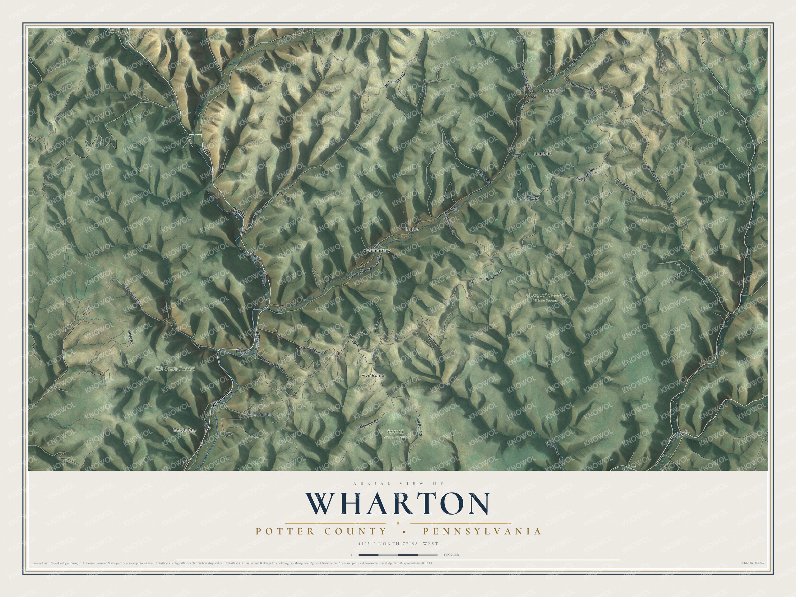
Created by KNOWOL in 2026, this map of Wharton fits a den, an office or a camp wall. The hill shading comes from USGS elevation data, so the ridges and hollows are the real shape of the land. The title panel reads "Aerial View of Wharton, Potter County, Pennsylvania," with the coordinates 41°34' North, 77°58' West and a two-mile scale bar.
It's a thoughtful gift for someone who grew up along Wharton Road, has family near Five Points or Logue, or moved away from Potter County and misses the hills. Open the preview, zoom in and follow the road to your place. Shop the Wharton, Potter County, Pennsylvania map.