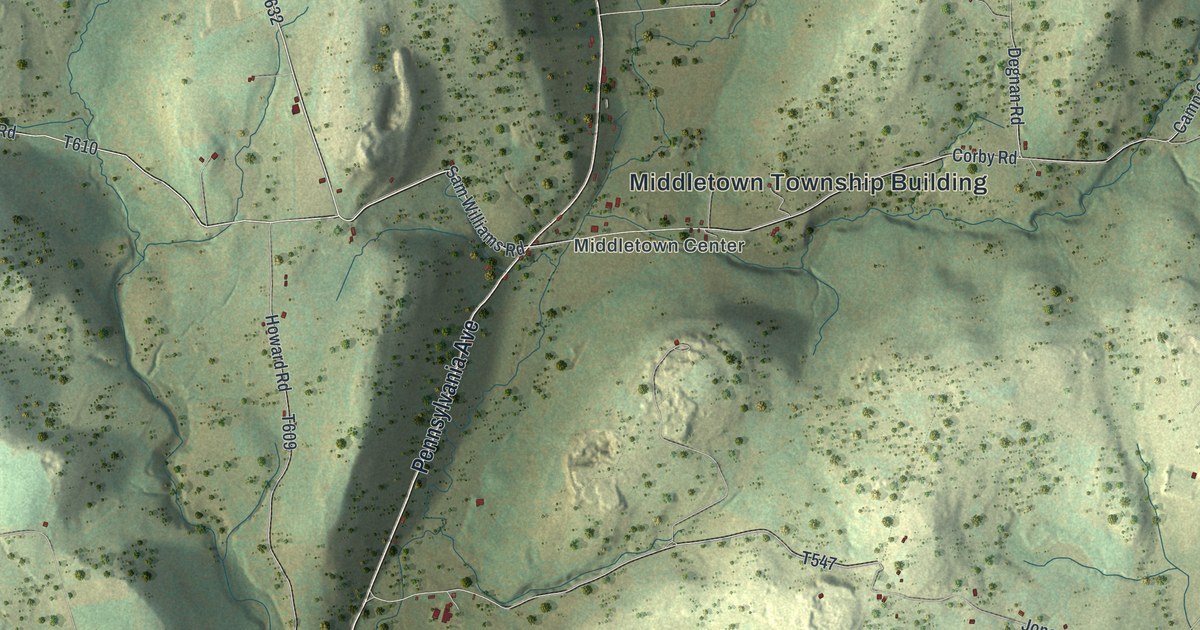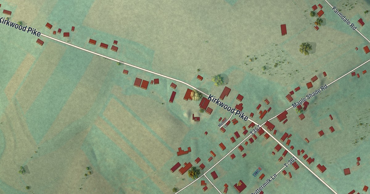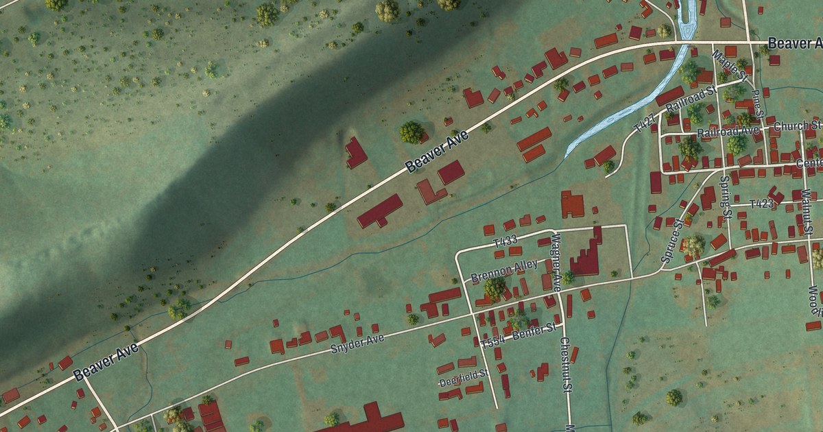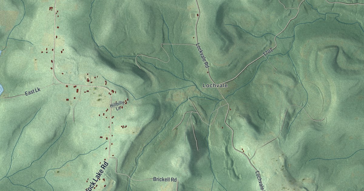
This beautifully detailed map of Banks, Indiana County, Pennsylvania was created in 2026 using aerial imagery combined with modern topographical, census, street and landmark data. It’s a one-of-a-kind view of Banks that combines accurate data with a vintage aesthetic. The map shows every building in its true location, many of the roads carry their names, and the shaded topographic relief shows the shape of the land.
Explore an aerial view of Banks, Indiana County, Pennsylvania
On the map you’ll find Hillman, Logan, Sidney, State Game Lands Number 174, State Game Lands Number 262, Flora, Johnsonburg, Keal Run, Lochvale, Smithport, and Urey, along with Hemlock Lake Road, and more. If you look closely you can even find your house accurately drawn in its correct location. Zoom in on the preview to look for yours.
Did you know this piece of Banks, Indiana County, Pennsylvania history?
From America's Industrial Heritage Project: "In Banks Township the Glenwood Coal and Coke Company opened several mines after the arrival of the Clearfield & Jefferson Railroad and built the company town of Glen Campbell in 1889."
Take a closer look at the Banks, Indiana County map
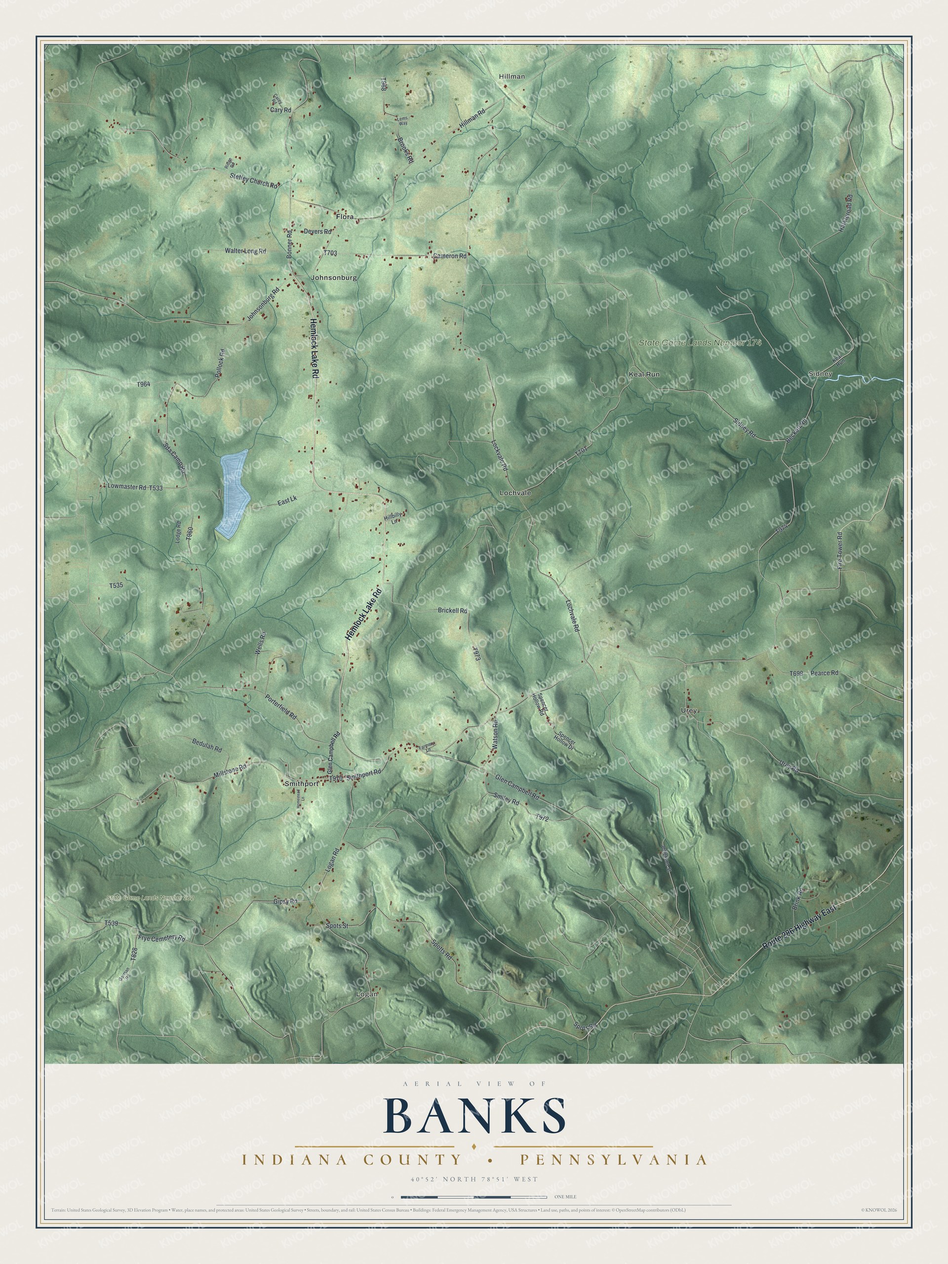
Street and place names on the Banks, Indiana County, Pennsylvania map
These names are printed on the map of Banks, Indiana County, Pennsylvania.
Places: Hillman, Logan, Sidney, State Game Lands Number 174, State Game Lands Number 262, Flora, Johnsonburg, Keal Run, Lochvale, Smithport and Urey.
Streets and roads: Hemlock Lake Road, Route 286 Highway East, Sda Camp Road, Brickell Road, Lockvale Road, Lochvale Road, Hillman Road, Bonner Road, Glen Campbell Road, Fire Tower Road, Urey Road, Frye Cemetery Road.
More street names, A to Z
Beckett Road, Bedulah Road, Brink Road, Brooks Road, Cameron Road, Carey Road, Cary Road, Devers Road, East Lk, Farmery Lane, Gipsy Road, Gorman Road, Harkleroad Road, Hillbilly Lane, Homestead Lane, Jefferson Street, Johnsonburg Road, Lems Way, Lodge Road, Logan Road, Lowmaster Road, Millstone Road, Pearce Road, Pollock Road, Porterfield Road, Ridge Road, Sidney Road, Smiley Road, Smithport Road, Spencer Hollow Drive, Spencer Hollow Road, Spots Road, Spots Street, Spotts Road, Steffey Church Road, Walter Long Road, Watson Road, Wells Road.
See the Banks, Indiana County, Pennsylvania map on a wall
The Banks, Indiana County map as an 18 x 24 inch print in a black frame.

This beautifully detailed map of Banks, Indiana County makes an attractive addition to your office, library, or den, and it can even be used to teach children the geography and history of the area. It also makes a great gift for someone who left Banks and still calls it home. When you’re done exploring, click here to get your copy of the Banks, Indiana County map.