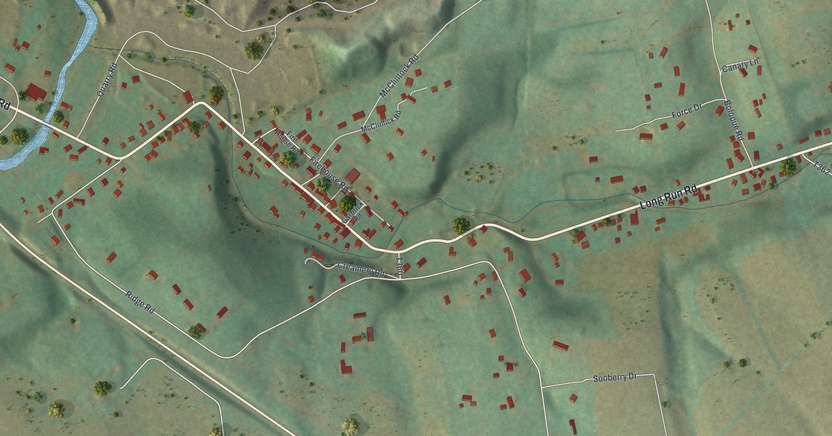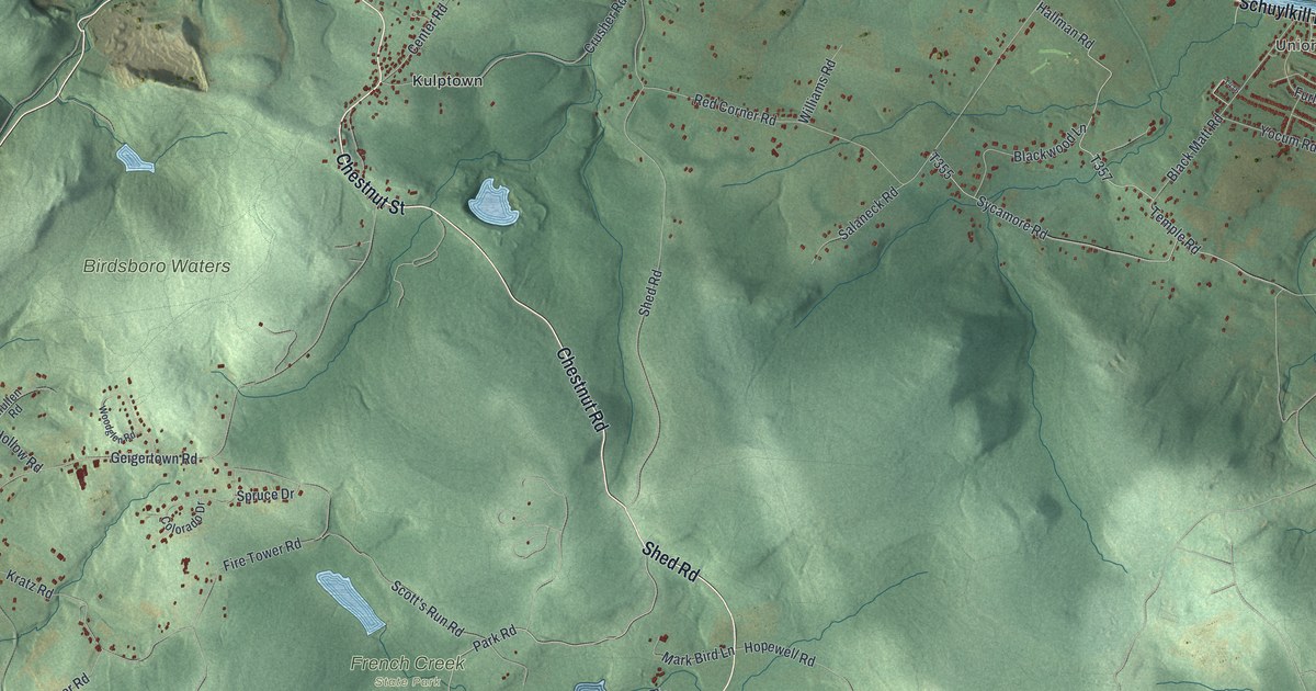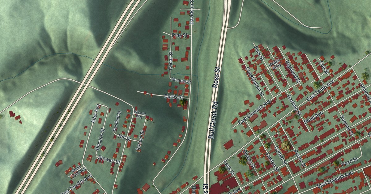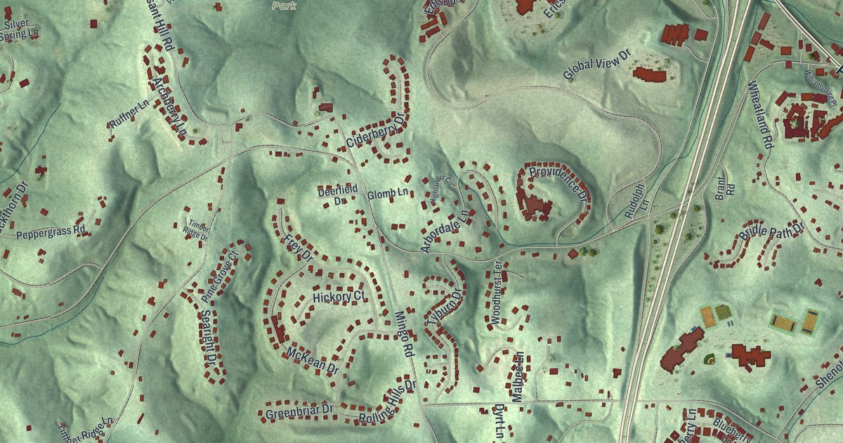
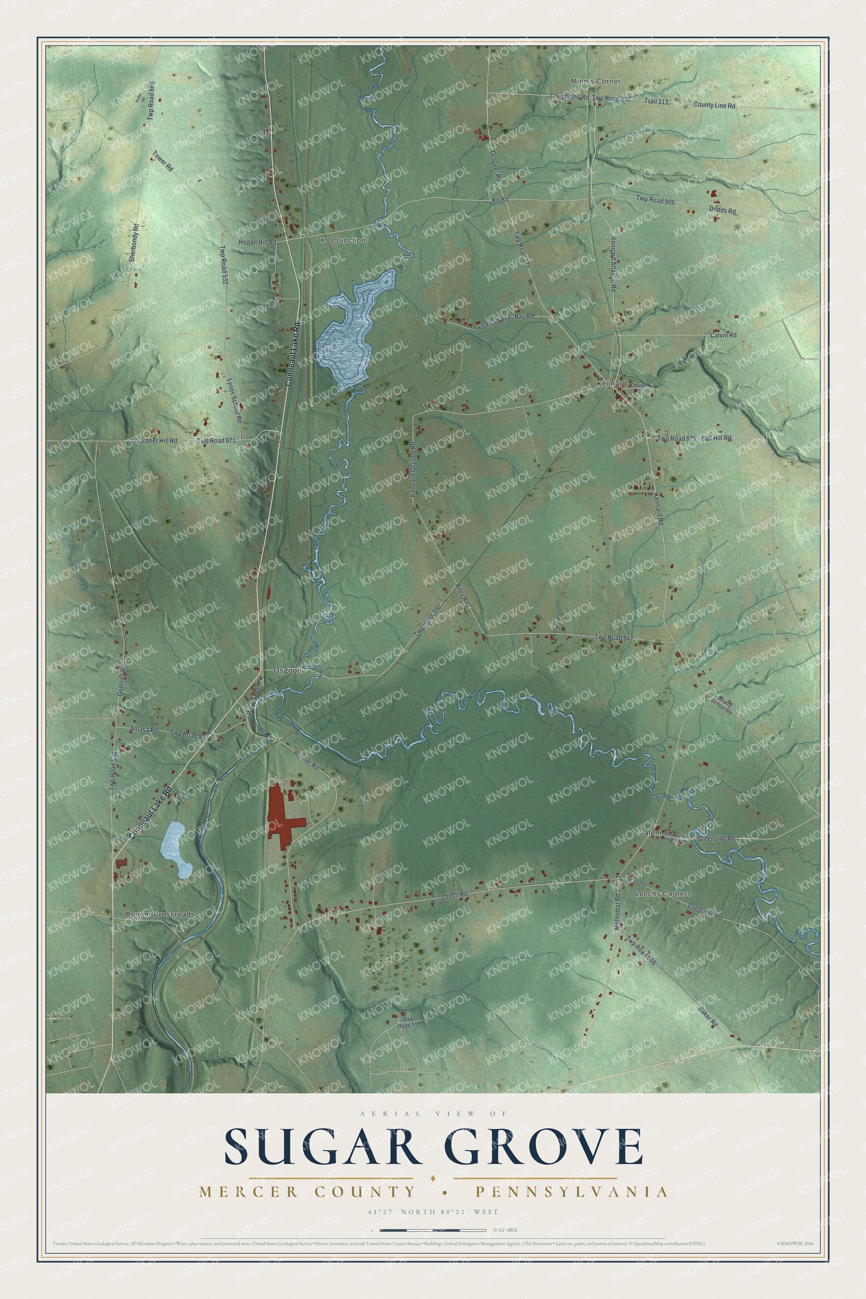
This beautifully detailed map of Sugar Grove, Mercer County, Pennsylvania was created in 2026 using aerial imagery combined with modern topographical, census, street and landmark data. It’s a one-of-a-kind view of Sugar Grove that combines accurate data with a vintage aesthetic. The map shows every building in its true location, many of the roads carry their names, and the shaded topographic relief shows the shape of the land.
Explore an aerial view of Sugar Grove, Mercer County, Pennsylvania
On the map you’ll find Minnis Corner, Leechs Corners, K O Junction, Donner Crossroads, Kennard, Osgood, Salem, and Twp Road 570, along with Conneaut Lake Road, Kennard Atlantic Road, Groover Road, Calvin Road, and more. If you look closely you can even find your house accurately drawn in its correct location. Zoom in on the preview to look for yours.
Did you know this piece of Sugar Grove, Mercer County, Pennsylvania history?
From the 1888 History of Mercer County, Pennsylvania: "But in this dilemma, when he was meditating upon the expediency of jumping to the ground, at the risk of breaking his neck, the little dog proved his friend, for as the bear approached the tree he attacked her upon the flanks, and obliged her to turn her attention in that direction."
Take a closer look at the Sugar Grove, Mercer County map
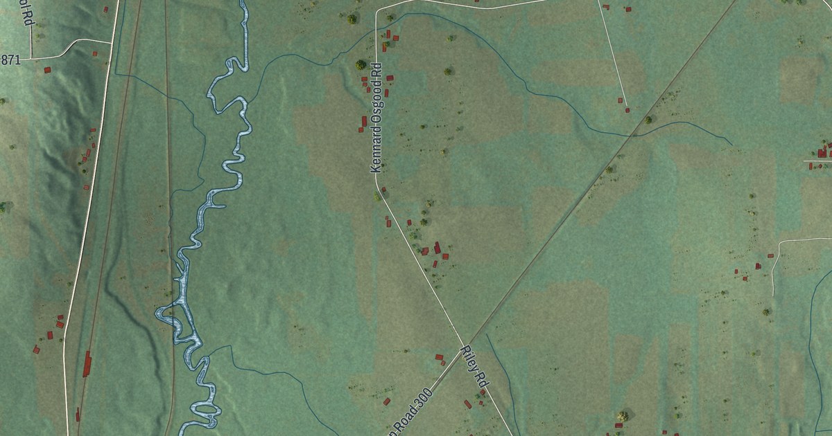
Street and place names on the Sugar Grove, Mercer County, Pennsylvania map
These names are printed on the map of Sugar Grove, Mercer County, Pennsylvania.
Places: Minnis Corner, Leechs Corners, K O Junction, Donner Crossroads, Kennard, Osgood and Salem.
Streets and roads: Conneaut Lake Road, Kennard Atlantic Road, Groover Road, Twp Road 570, Calvin Road, Leech Road, Hogan Hill Road, Ko Road, Baker Road, Twp Road 905, Kennard Osgood Road, Twp Road 300.
More street names, A to Z
Amasa Road, Ball Hill Road, Beatty School Road, Church Street, County Line Road, Countyline Road, Dodds Road, Gardner Hill Road, Goetsch Road, Greenville Road, Kennard Road, Log Cabin Road, Lyons School Road, Methodist Road, Probst Road, Ray Road, Riley Road, Sheakleyville Greenville Road, Sherbondy Road, Tower Road, Trail 313, Twp Road 519, Twp Road 530, Twp Road 532, Twp Road 566, Twp Road 817, Twp Road 819, Twp Road 847, Twp Road 869, Twp Road 871, Twp Road 873, Twp Road 875, Twp Road 907, Werner Road, Werner Road Extension.
See the Sugar Grove, Mercer County, Pennsylvania map on a wall
The Sugar Grove, Mercer County map as an 18 x 24 inch print in a black frame.

This beautifully detailed map of Sugar Grove, Mercer County makes an attractive addition to your office, library, or den, and it can even be used to teach children the geography and history of the area. It also makes a great gift for someone who left Sugar Grove and still calls it home. When you’re done exploring, click here to get your copy of the Sugar Grove, Mercer County map.