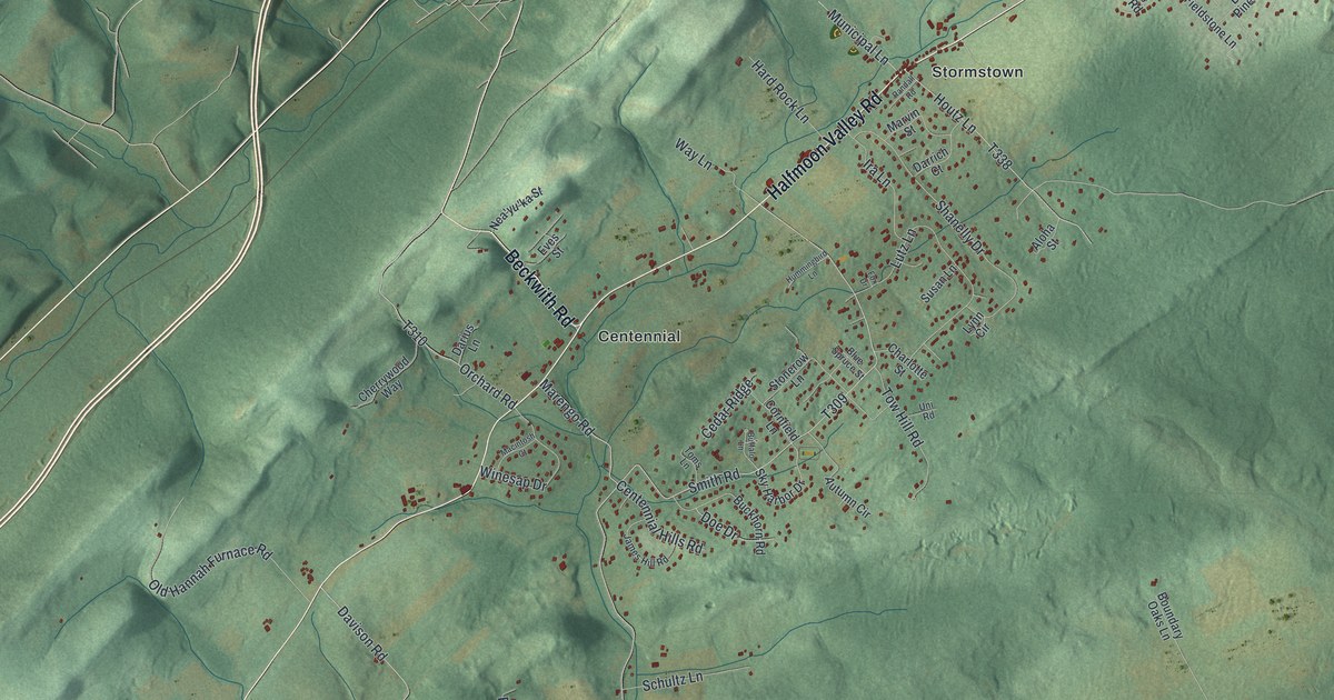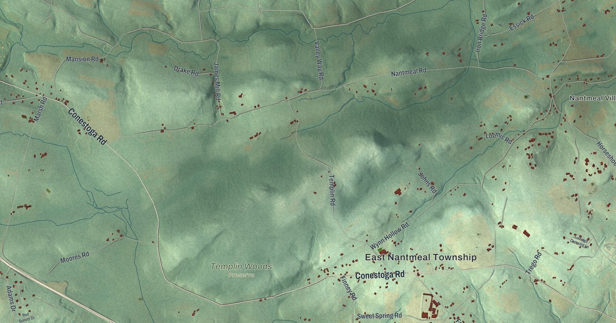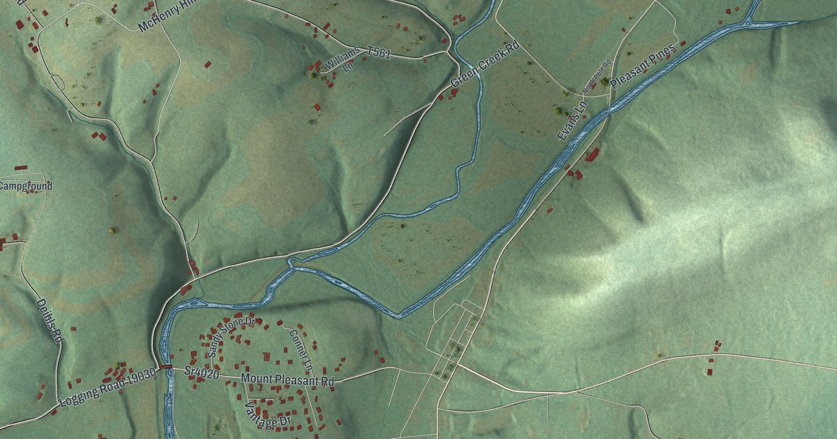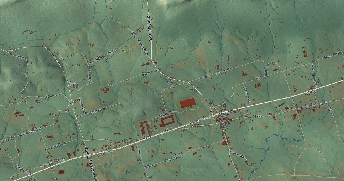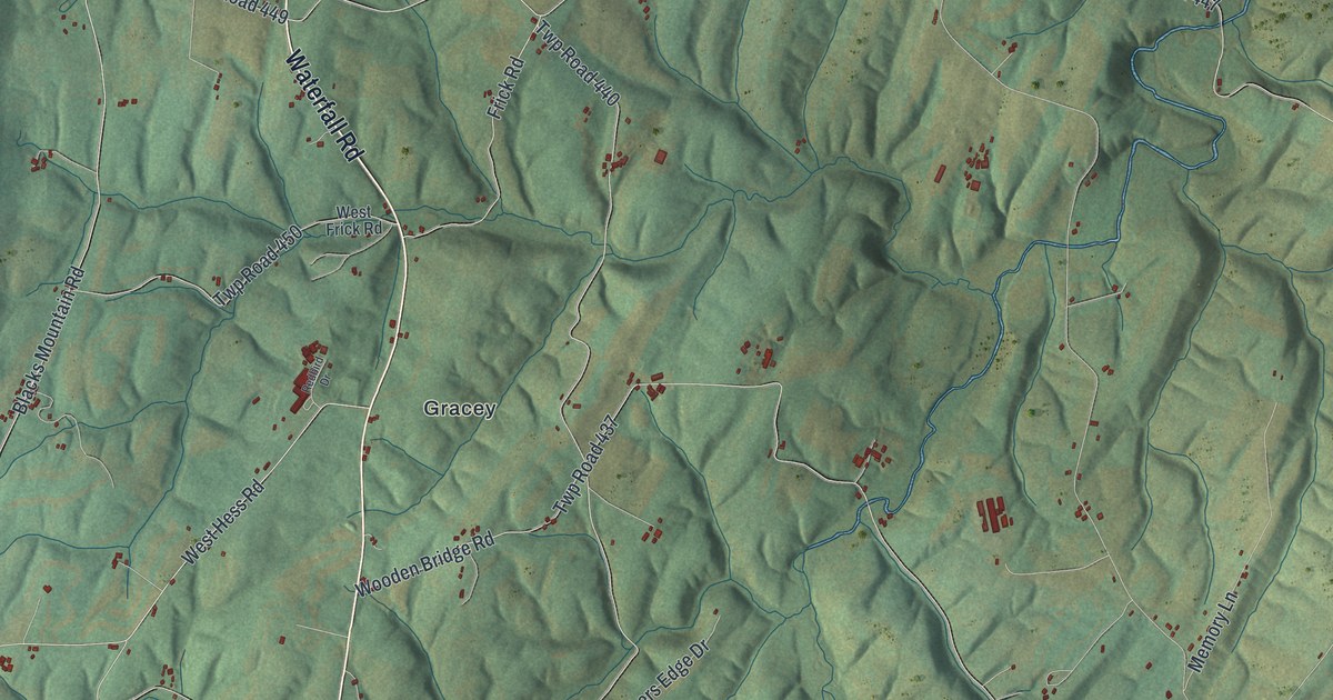
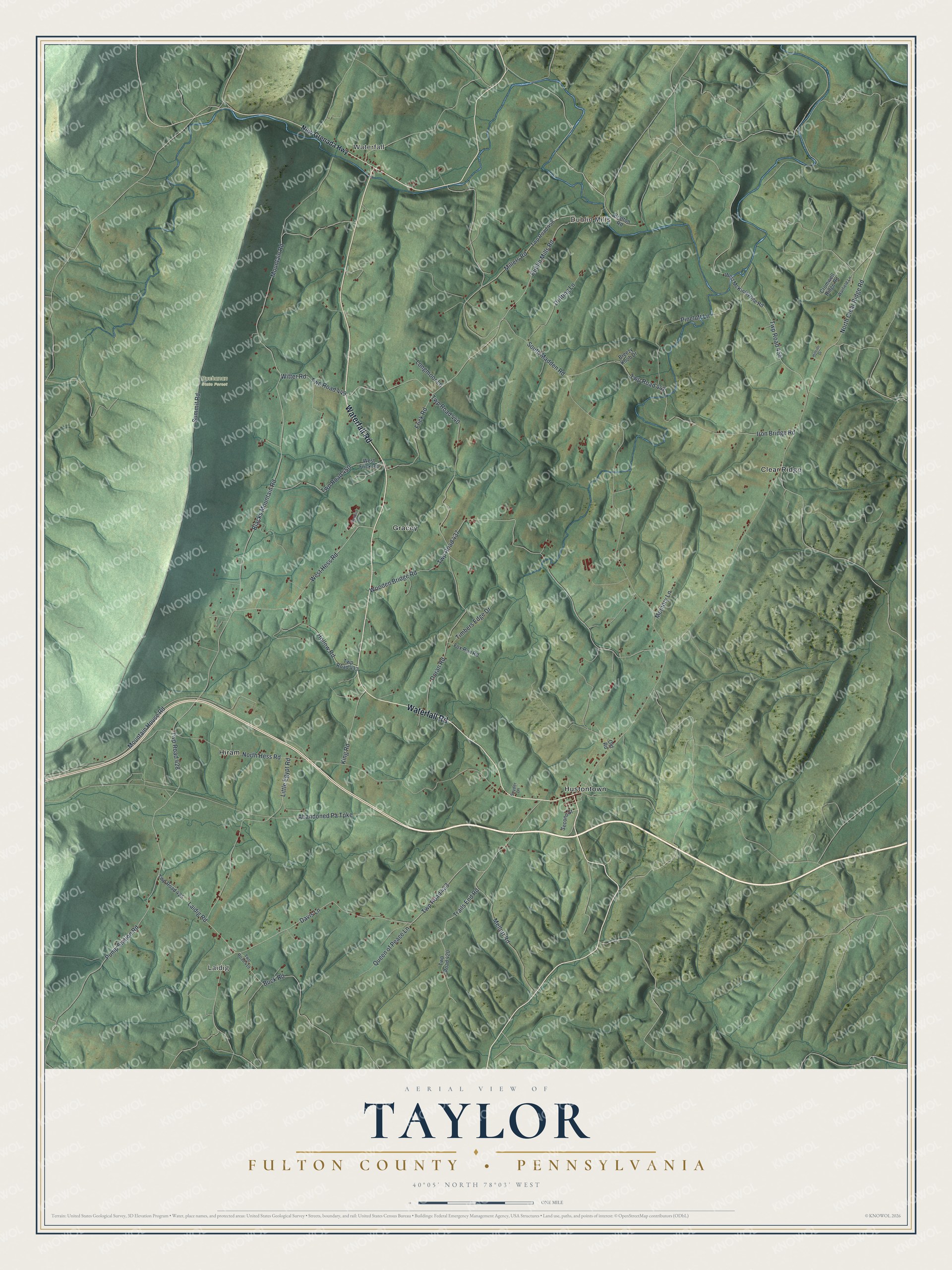
This beautifully detailed map of Taylor, Fulton County, Pennsylvania was created in 2026 using aerial imagery combined with modern topographical, census, street and landmark data. It's a modern aerial view of Taylor, Fulton County in Fulton County, Pennsylvania, that combines modern data with a vintage aesthetic. The roads feature printed names, and if you look closely you can find your exact house accurately shown in its correct location.
Explore an aerial view of Taylor, Fulton County, Pennsylvania
On this map you'll find Laidig, Waterfall, Dublin Mills, Buchanan State Forest, Clear Ridge, Gracey, Hiram, Hustontown, Waterfall Road, Dublin Mills Road, North Clear Ridge Road, West Hess Road, and more. Each red shape is a building, so zoom in on the preview and look for yours.
Taylor, Fulton County has a story worth telling. The History of Bedford Somerset and Fulton puts it this way: "In 1821 he purchased the property of Vincent Stephens in Taylor township, and there resided until about 1850, when he bought the farm on which Mrs. Evans now lives, near Hustontown."
Taylor, Fulton County is a place in Fulton County. The Census Bureau counted 1,065 people here in 2020.
Take a closer look at the Taylor, Fulton County map
Names on this map
These names are printed on this map.
Places: Laidig, Waterfall, Dublin Mills, Buchanan State Forest, Clear Ridge, Gracey, Hiram and Hustontown.
Streets and roads: Waterfall Road, Dublin Mills Road, North Clear Ridge Road, West Hess Road, North Hess Road, South Madden Road, Summit Road, Mountain Road, Blacks Mountain Road, Twp Road 437, Wooden Bridge Road, Davis Lane.
More street names, A to Z
Abandoned Pa Turnpike, Bratton Road, Breezy Knob Drive, Buck Road, Cromwell Ridge Road, Doran Road, Drifting Lane, Fox Run Road, Frick Road, Hillside Drive, Hollow Road, Iron Bridge Road, King Road, Laidig Road, Little Egypt Road, Longmoor Lane, Mellott Road, Memory Lane, Millers Road, Mountain House Road, New Grenada Highway, Old Road, Pineloft Lane, Pump Station Road, Queen of Peace Lane, Redbird Drive, Second Street, Snyder Lane, Timbers Edge Drive, Trails End Road, Twp Road 419, Twp Road 420, Twp Road 423, Twp Road 425, Twp Road 428, Twp Road 433, Twp Road 440, Twp Road 447, Twp Road 449, Twp Road 450, Twp Road 454, Twp Road 458, Warfield Lane, West Frick Road, West McKinleyville Road, Witter Road.
See it on a wall
The Taylor, Fulton County map as a framed print. Swipe for more.


Created by KNOWOL in 2026. The buildings are small red shapes, the roads carry their printed names, and shaded relief shows the shape of the land. The title panel reads "AERIAL VIEW OF TAYLOR, FULTON COUNTY • PENNSYLVANIA" with 40°05' NORTH 78°03' WEST.
It looks right in a kitchen, an office or a den, and it's a gift for anyone who grew up in Taylor, Fulton County or moved away. Open the preview and find your street. See sizes and frames for the Taylor, Fulton County map.