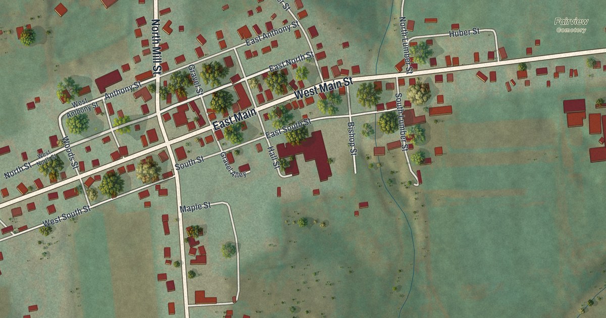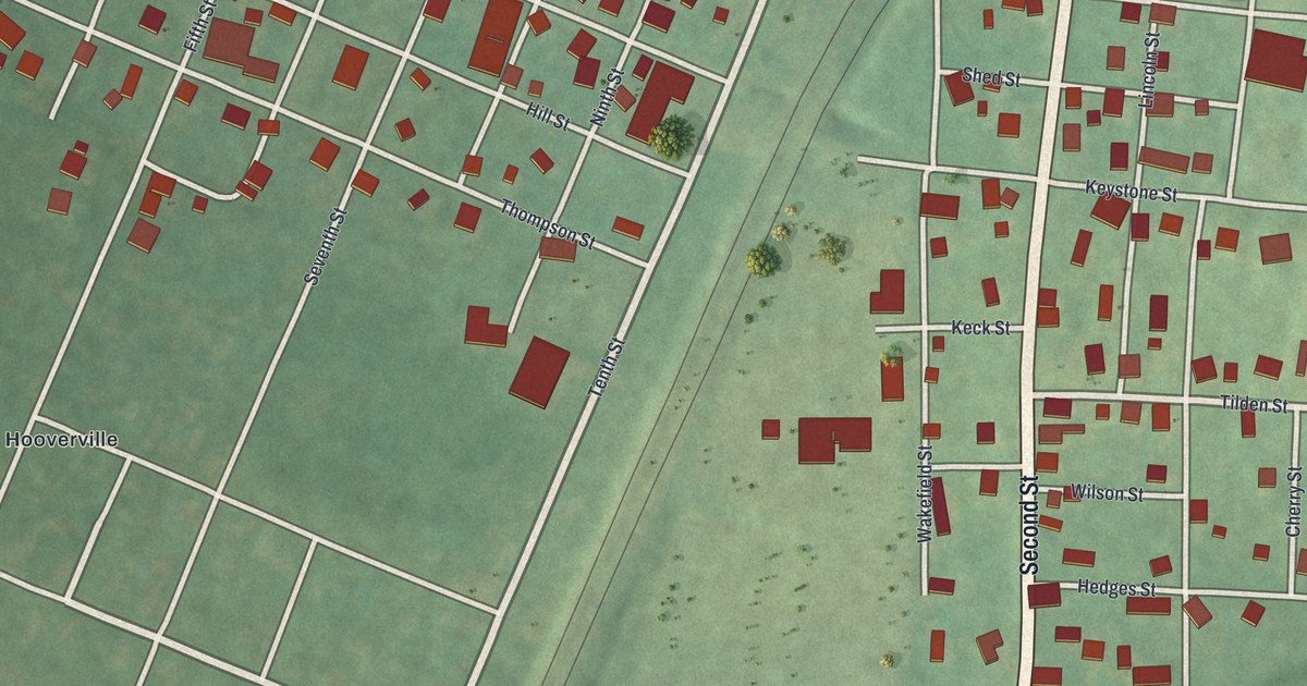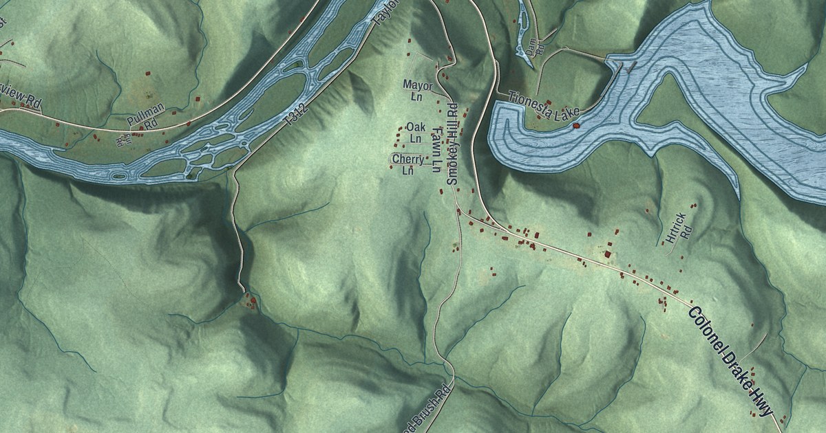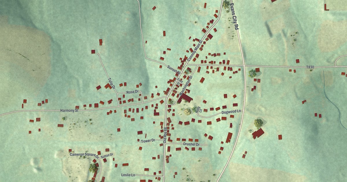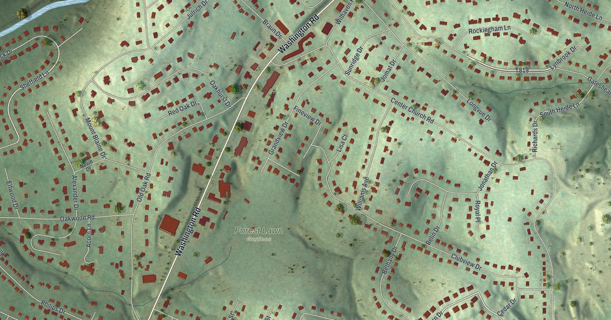
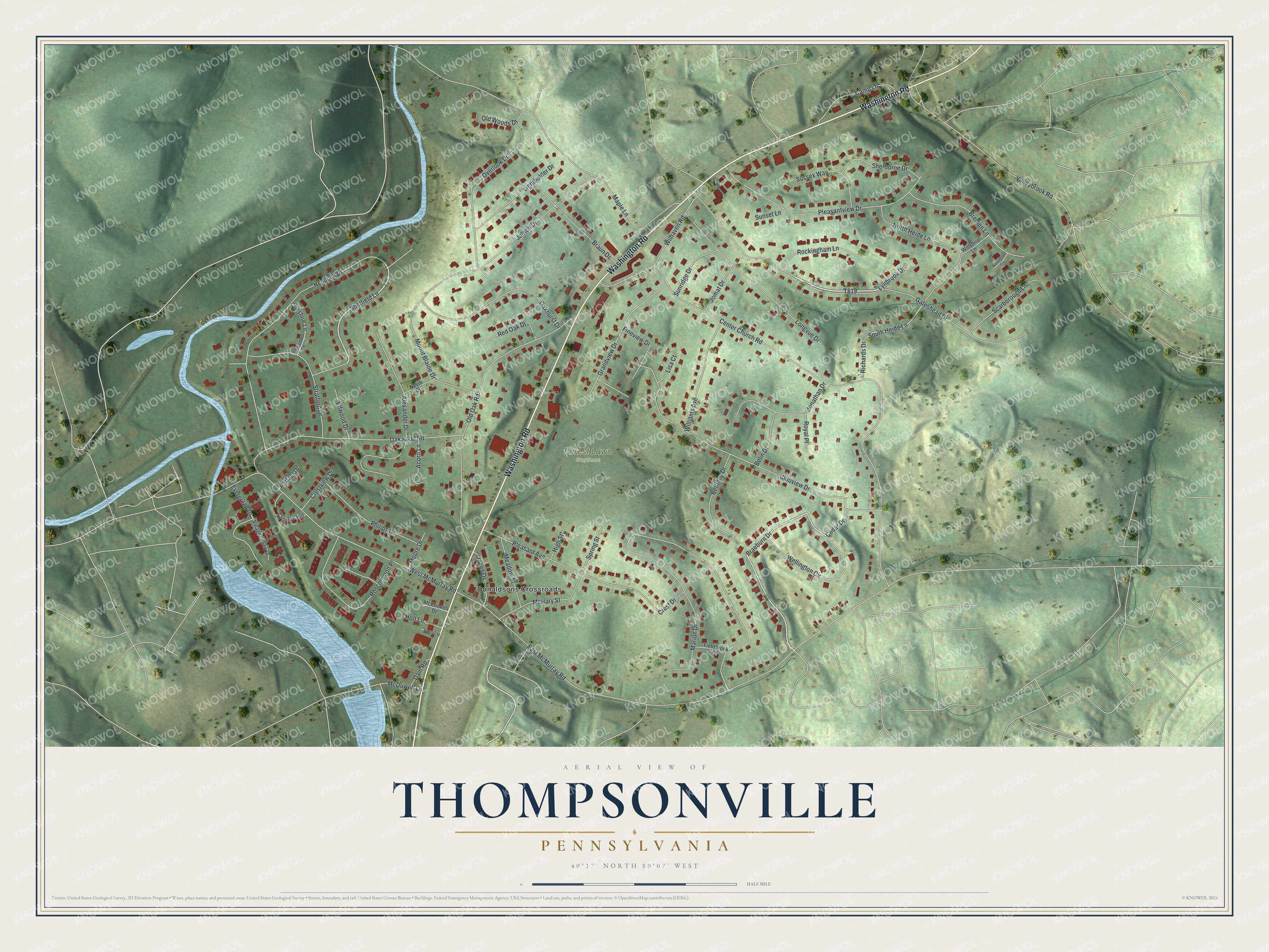
This beautifully detailed map of Thompsonville, Pennsylvania was created in 2026 using aerial imagery combined with modern topographical, census, street and landmark data. It's a modern aerial view of Thompsonville in Washington County, Pennsylvania, that combines modern data with a vintage aesthetic. The roads feature printed names, and if you look closely you can find your exact house accurately shown in its correct location.
Explore an aerial view of Thompsonville, Pennsylvania
On this map you'll find Forest Lawn Gardens, Donaldsons Crossroads, Washington Road, Gateshead Drive, Braeburn Drive, T819, Sheffield Lane, South Heide Lane, Center Church Road, East McMurray Road, Marion Drive, Maple Lane, and more. Each red shape is a building, so zoom in on the preview and look for yours.
Thompsonville has a story worth telling. Thompsonville grew up at the spot in Peters Township where the brothers Moses and John Thompson settled in 1814 and opened a store. They went on to trade at Library and Finleyville, and later built an extensive trade between New Orleans and Pittsburgh, the first in that line in the region. Afterwards they opened a broker's office in Pittsburgh and went into the wool trade. They bought wool for twenty-five cents and held it until, because of the war, it brought them a dollar and five cents a pound. That's from the 1882 History of Washington County.
Thompsonville is a community in Washington County. The Census Bureau counted 3,704 people here in 2020. Thompsonville sits about 2 miles south of Lawrence, 3 miles southeast of Hendersonville and 4 miles east of Canonsburg. The map prints the town name in its title panel, with the coordinates below it.
Take a closer look at the Thompsonville map
Names on this map
These names are printed on this map.
Places: Forest Lawn Gardens and Donaldsons Crossroads.
Streets and roads: Washington Road, Gateshead Drive, Braeburn Drive, Sheffield Lane, South Heide Lane, Center Church Road, East McMurray Road, Marion Drive, Maple Lane, Clubview Drive, Old Oak Road, West McMurray Road.
More street names, A to Z
Acorn Lane, Alexander Drive, Belin Drive, Bethany Drive, Braun Drive, Bremen Lane, Camp Lane, Carriage Hill, Cedar Drive, Cheshire Lane, Chesire Lane, Crest Drive, Crestview Drive, Dam Road, Elfwood Drive, Evergreen Drive, Fieldbrook Drive, Fineview Drive, Grandview Drive, Hemlock Drive, High Street, Holt Lane, Jomat Drive, Jonathan Drive, Jones Drive, Julrich Drive, Lightholder Drive, Lisa Court, Longvue Drive, Lynbrook Drive, McConnell Drive, McDowell Lane, McNary Street, Meadow Street, Moore Drive, Mount Blaine Drive, Nevin Drive, North Heide Lane, Oakhurst Drive, Oakwood Road, Old Woods Drive, Overlook Drive, Philips Drive, Pleasant Avenue, Pleasantview Drive, Raffael Drive, Red Oak Drive, Richards Drive, Rockingham Lane, Roscommon Place, Royal Place, Santoni Place, Scarborough Lane, Sherborne Drive, Spring Street, Stratford Drive, Sunridge Drive, Sunset Lane, Sussex Way, Valleybrook Road, Village Green Drive, Warlington Circle, Wellington Circle, Wilhaven Road, Williams Avenue, Wiltshire Lane.
See it on a wall
The Thompsonville map as a framed print. Swipe for more.


Created by KNOWOL in 2026. The buildings are small red shapes, the roads carry their printed names, and shaded relief shows the shape of the land. The title panel reads "AERIAL VIEW OF THOMPSONVILLE, PENNSYLVANIA" with 40°17' NORTH 80°07' WEST.
It looks right in a kitchen, an office or a den, and it's a gift for anyone who grew up in Thompsonville or moved away. Open the preview and find your street. See sizes and frames for the Thompsonville map.