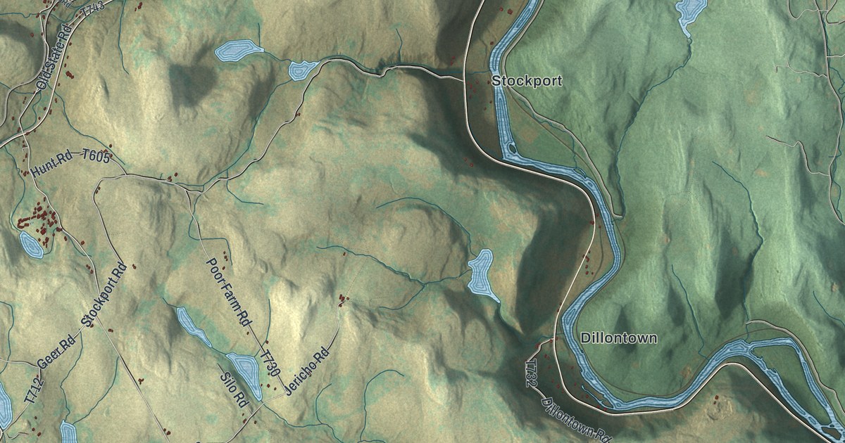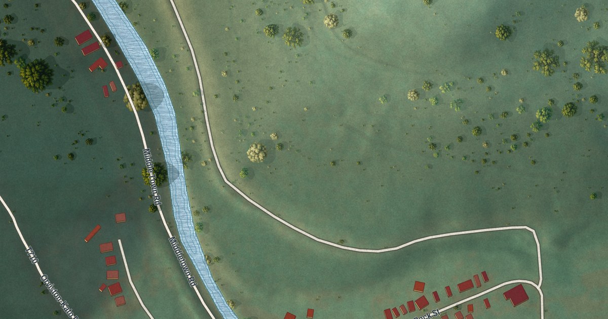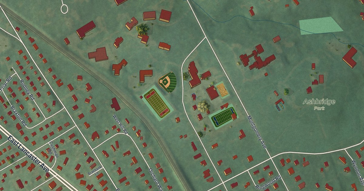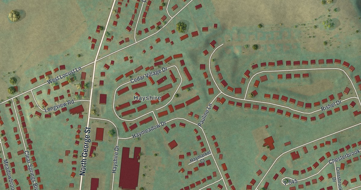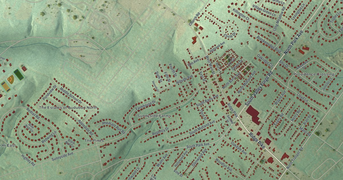
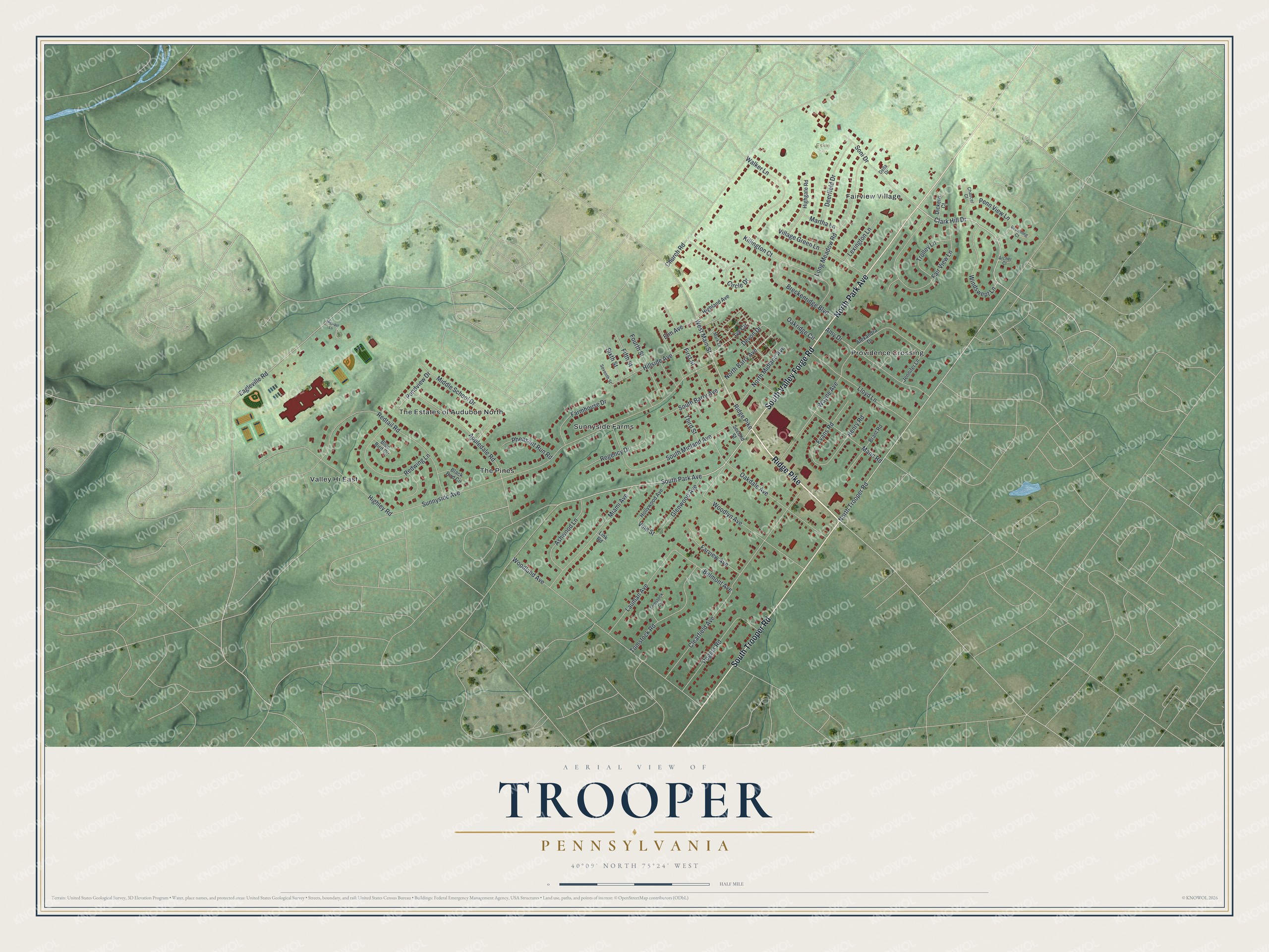
This beautifully detailed map of Trooper, Pennsylvania was created in 2026 using aerial imagery combined with modern topographical, census, street and landmark data. It's a modern aerial view of Trooper in Montgomery County, Pennsylvania, that combines modern data with a vintage aesthetic. The roads feature printed names, and if you look closely you can find your exact house accurately shown in its correct location.
Explore an aerial view of Trooper, Pennsylvania
On this map you'll find Eskie Park, Valley Hi East, Sunnyside Farms, Providence Crossing, The Pines, The Estates of Audubon North, Fairview Village, Ridge Pike, North Park Avenue, South Valley Forge Road, South Trooper Road, North Trooper Road, and more. Each red shape is a building, so zoom in on the preview and look for yours.
Trooper has a story worth telling. Theodore Bean apprenticed as a blacksmith at seventeen and then ran his own smithing business at the Trooper village until 1859. In the Civil War he rose to captain in the 17th Pennsylvania Cavalry and served on General John Buford's staff, and he was later admitted to the Montgomery County bar. That's from the History of Montgomery County.
Trooper is a community in Montgomery County. The Census Bureau counted 5,481 people here in 2020.
Take a closer look at the Trooper map
Names on this map
These names are printed on this map.
Places: Eskie Park, Valley Hi East, Sunnyside Farms, Providence Crossing, The Pines, The Estates of Audubon North and Fairview Village.
Streets and roads: Ridge Pike, North Park Avenue, South Valley Forge Road, South Trooper Road, North Trooper Road, South Park Avenue, Clark Hill Drive, North Barry Avenue, West Main Street, Eagleville Road, Vine Street, Sunnyside Avenue.
More street names, A to Z
Alexandra Drive, Amy Drive, Appledale Road, Archer Court, Ashwood Lane, Belmont Avenue, Black Bird Circle, Blue Bird Circle, Brant Road, Breckenridge Boulevard, Browning Court, Chaucer Court, Church Road, Circle Drive, Clearfield Avenue, Deerfield Drive, Delta Drive, Devon Drive, Dickens Court, Elm Avenue, Evans Road, Fair View Lane, Farmhouse Drive, Farview Avenue, Fifth Street, First Street, Fourth Street, Glenwood Avenue, Henry Road, Highgate Road, Highland Avenue, Highley Road, Hillside Avenue, Hollywood Avenue, Ivy Circle, Jennifer Lane, Killington Court, Lauman Avenue, Lexington Lane, Link Road, Lloyd Lane, Long Meadow Road, Mann Road, Mark Lane, Martha Lane, Miami Avenue, Michael Lane, Middle School Drive, North Midland Avenue, Oakdale Avenue, Oakridge Circle, Penn View Lane, Pheasant Run Road, Pondview Drive, Redtail Road, Redwing Lane, Regency Drive, Rogers Road, Second Street, Seventh Street, Sixth Street, Soni Drive, South Barry Avenue, South Midland Avenue, Third Street, Tomstock Circle, Tomstock Road, Trolley Lane, Village Green Lane, Walker Lane, Wayne Avenue, Windswept Lane, Woodland Avenue, Woodlyn Avenue.
See it on a wall
The Trooper map as a framed print. Swipe for more.


Created by KNOWOL in 2026. The buildings are small red shapes, the roads carry their printed names, and shaded relief shows the shape of the land. The title panel reads "AERIAL VIEW OF TROOPER, PENNSYLVANIA" with 40°09' NORTH 75°24' WEST.
It looks right in a kitchen, an office or a den, and it's a gift for anyone who grew up in Trooper or moved away. Open the preview and find your street. See sizes and frames for the Trooper map.