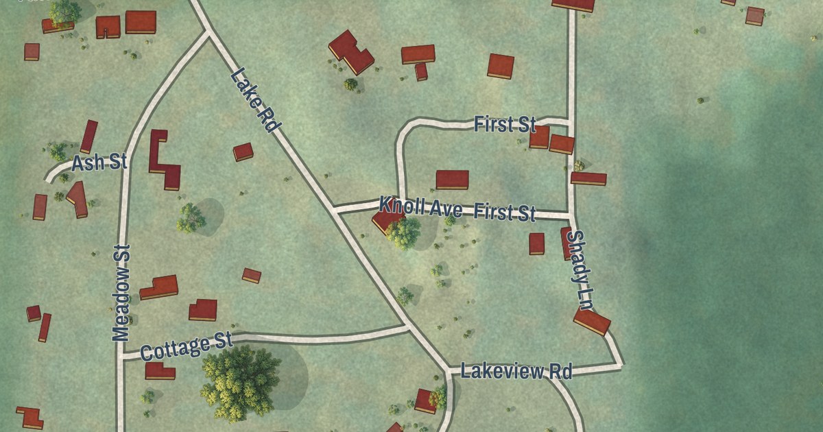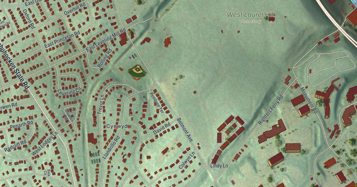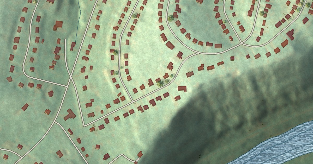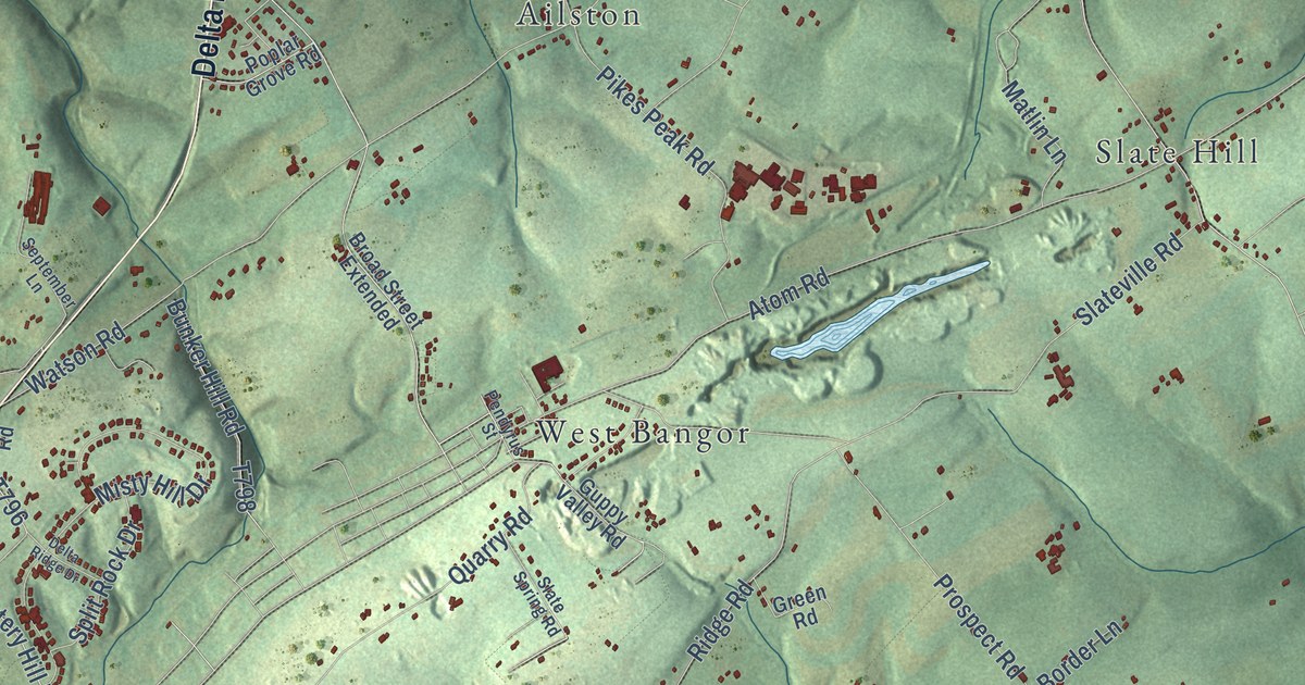
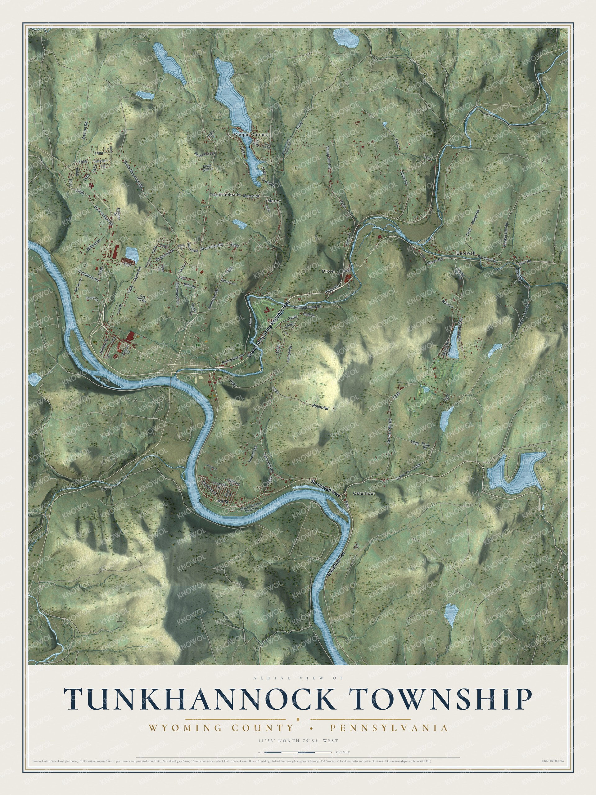
This beautifully detailed map of Tunkhannock Township, Wyoming County, Pennsylvania was created in 2026 using aerial imagery combined with modern topographical, census, street and landmark data. It’s a one-of-a-kind view of Tunkhannock Township that combines accurate data with a vintage aesthetic. The map shows every building in its true location, many of the roads carry their names, and the shaded topographic relief shows the shape of the land.
Explore an aerial view of Tunkhannock Township, Wyoming County, Pennsylvania
On the map you’ll find Bardwell, Brookside, Cooper Corners, Dixon, Marcy, and Osterhout, along with Roosevelt Highway, Grand Army of the Republic Highway, Osterhout Road, German Hill Road, Ash Street, and more. If you look closely you can even find your house accurately drawn in its correct location. Zoom in on the preview to look for yours.
Did you know this piece of Tunkhannock Township, Wyoming County, Pennsylvania history?
From Pennsylvania Place Names: "In 1786, eleven years after its organization, the name of Putnam Township was changed to Tunkhannock Township, and about four years later a Tunkhannock settlement was begun where Tunkhannock borough now stands."
Take a closer look at the Tunkhannock Township, Wyoming County map
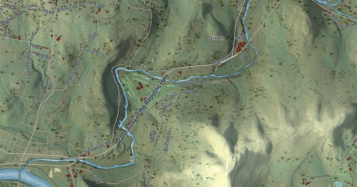
Street and place names on the Tunkhannock Township, Wyoming County, Pennsylvania map
These names are printed on the map of Tunkhannock Township, Wyoming County, Pennsylvania.
Places: Dixon, Osterhout, Cooper Corners, Bardwell, Brookside and Marcy.
Streets and roads: Grand Army of the Republic Highway, Roosevelt Highway, Osterhout Road, Ash Street, German Hill Road, Eastwoods Road, Lane Hill Road, Bardwell Road, Stony Mountain Road, Stark Road, Sunnyside Road, Mile Road.
More street names, A to Z
Anderson Road, Aspen Lane, Baker Road, Bartron Road, Beverly Drive, Big Sky Drive, Birch Drive, Black Diamond Beach Road, Brookside Road, Bunker Hill Road, Campground Road, Chestnut Street, Comstock Road, Cove Road, Dark Hollow Road, Deer Lane, Dixon Road, Dogwood Drive, Dymond Drive, Everett Lane, First Street, Ford Drive, Fox Road, Garey Road, Gary Lane, Golf Lane, Henry Drive, Highfield Drive, Hilltop Drive, Hobbs Road, Howell Road, Inver Drive, Ironwood Street, Jay Lane, Jayne Road, Lee Lane, Lincoln Drive, Liz Lane, Marcy Road, Miller Road, Mount Airy Est, Nice Lane, Oak Hill Road, Pallis Drive, Place Drive, Radle Road, Rick Drive, Saddle Lake Road, Sherwood Lane, Shupp Hill Road, Sill Hill Road, Spur Road, Stone Wall Lane, Timber Lane, Tree Top Road, Turnpike Road, Virginia Drive, Wellwood Drive, West Lake Shore Drive, Whippoorwill Hollow Road, Wilmar Drive, Woodcrest Drive.
See the Tunkhannock Township, Wyoming County, Pennsylvania map on a wall
The Tunkhannock Township, Wyoming County map as an 18 x 24 inch print in a black frame.

This beautifully detailed map of Tunkhannock, Wyoming County makes an attractive addition to your office, library, or den, and it can even be used to teach children the geography and history of the area. It also makes a great gift for someone who left Tunkhannock Township and still calls it home. When you’re done exploring, click here to get your copy of the Tunkhannock, Wyoming County map.