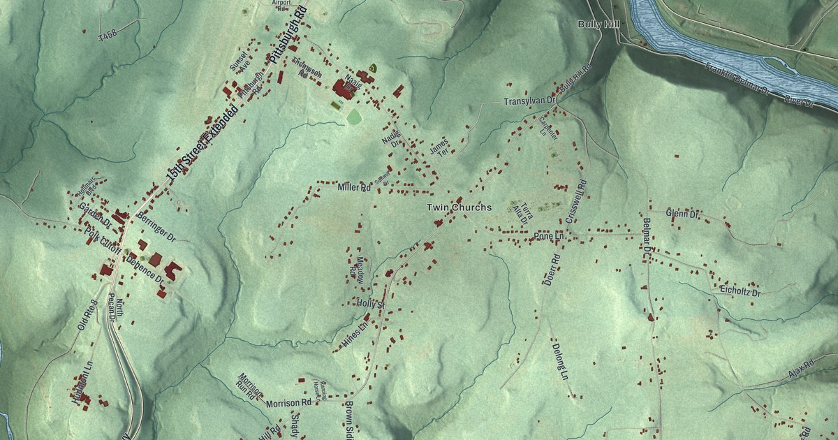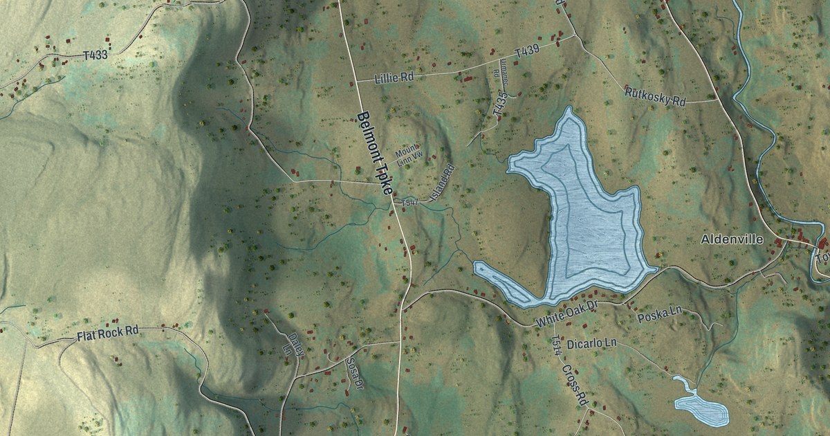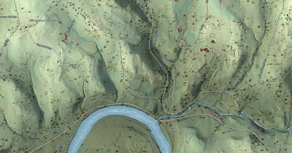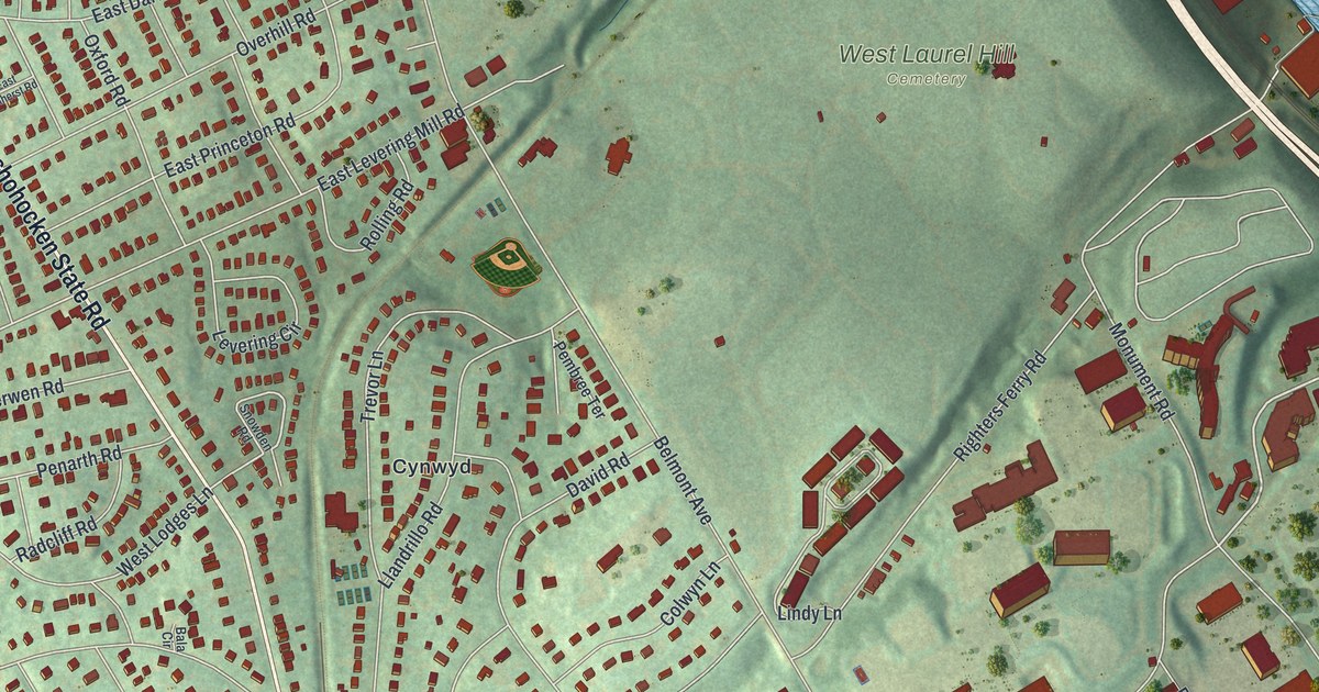
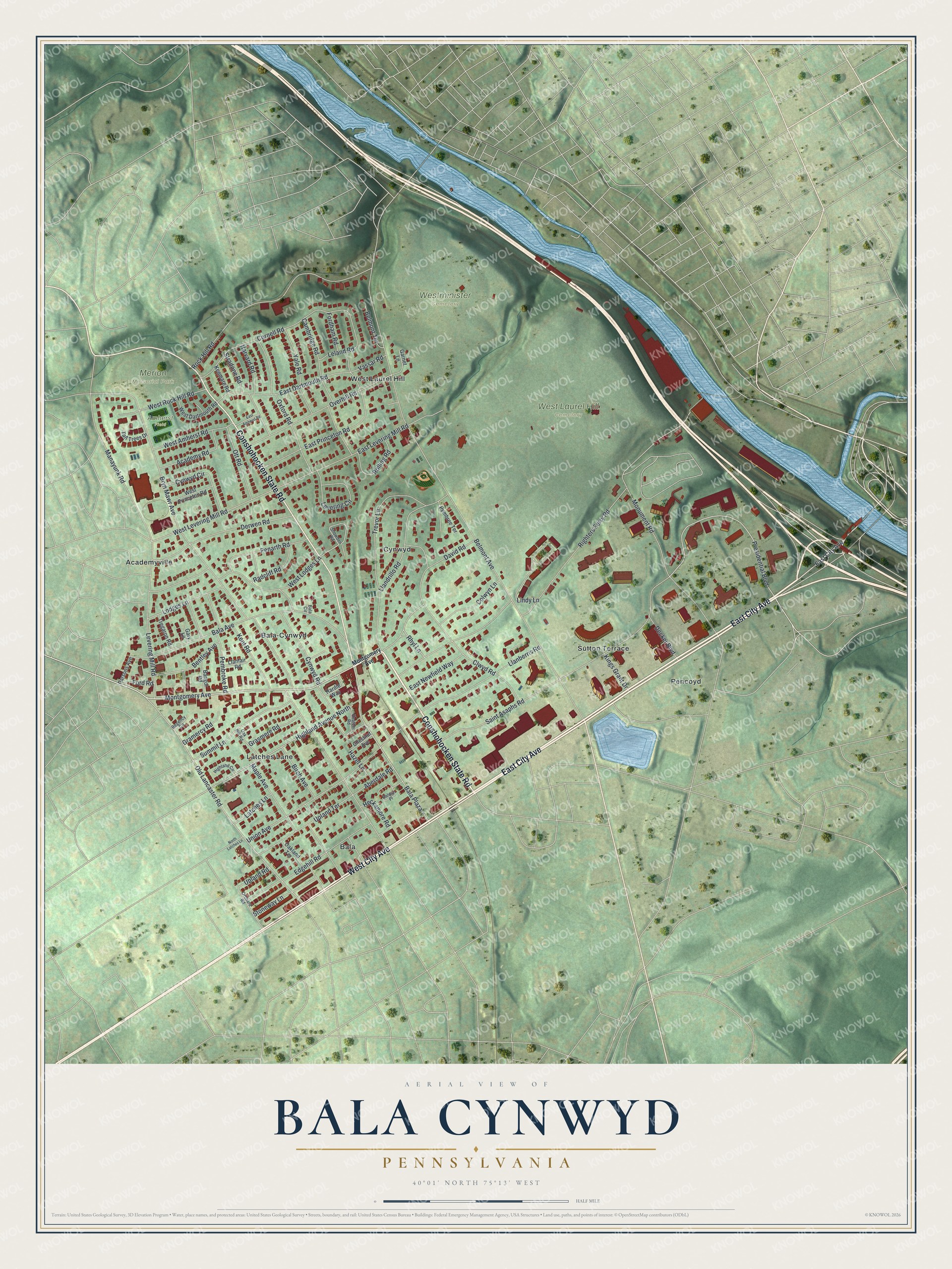
This beautifully detailed map of Bala Cynwyd, Pennsylvania was created in 2026 using aerial imagery combined with modern topographical, census, street and landmark data. It's a modern aerial view of Bala Cynwyd in Montgomery County, Pennsylvania, that combines modern data with a vintage aesthetic. The roads feature printed names, and if you look closely you can find your exact house accurately shown in its correct location.
Explore an aerial view of Bala Cynwyd, Pennsylvania
On this map you'll find Merion Memorial Park, West Laurel Hill Cemetery, Westminister Cemetery, Amherst Field, Bala, Pencoyd, Bala-Cynwyd, Cynwyd, West Laurel Hill, Academyville, Latches Lane, Sutton Terrace, and more. Each red shape is a building, so zoom in on the preview and look for yours.
Bala Cynwyd is a community in Montgomery County. The Census Bureau counted 9,285 people here in 2020. Bala Cynwyd sits about 2 miles east of Narberth, 2 miles northeast of Wynnewood and 3 miles northeast of Penn Wynne. The map prints the town name in its title panel, with the coordinates below it.
Take a closer look at the Bala Cynwyd map
Names on this map
These names are printed on this map.
Places: Merion Memorial Park, West Laurel Hill Cemetery, Westminister Cemetery, Amherst Field, Bala, Pencoyd, Bala-Cynwyd, Cynwyd, West Laurel Hill, Academyville, Latches Lane and Sutton Terrace.
Streets and roads: East City Avenue, West City Avenue, Conshohocken State Road, Montgomery Avenue, Presidential Boulevard, Old Lancaster Road, West Levering Mill Road, Belmont Avenue, Bryn Mawr Avenue, Bala Avenue, Righters Ferry Road, Saint Asaphs Road.
More street names, A to Z
Aberdale Road, Academy Road, Bala Circle, Bala Plaza, Balwyn Place, Bangor Road, Belmont Terrace, Bentley Avenue, Birch Avenue, Cambridge Road, Chestnut Avenue, Clwyd Road, Colwyn Lane, Cornell Road, Cynwyd Circle, Cynwyd Road, David Road, Decker Boulevard, Derwen Road, East Amherst Road, East Dartmouth Road, East Levering Mill Road, East Newfield Way, East Princeton Road, Edgehill Road, Fordham Road, Ford Road, Garnet Lane, Gary Lane, Gramercy Road, Grasmere Road, Hardie Way, Harvard Road, Hazel Lane, Heather Road, Heckamore Road, Highland Avenue North, Highland Circle, Kenmare Road, Kent Road, Kings Grant Drive, Leland Road, Levering Circle, Levering Mill Road, Lindy Lane, Llanberris Road, Llandrillo Road, Llanfair Road, Lodges Lane, Manayunk Road, Maple Avenue, Monument Road, North Latches Lane, Oak Hill Road, Oakland Terrace, Orchard Road, Ott Road, Overhill Road, Oxford Road, Parsons Avenue, Pembree Terrace, Pembroke Road, Penarth Road, Radcliff Road, Regency Circle, Rhyl Lane, Rock Hill Road, Rolling Road, Snowden Road, Stoneway Lane, Stradone Road, Summit Lane, Tall Trees Drive, Tregaron Road, Trevor Lane, Union Avenue, Upland Road, Upland Terrace, Vassar Road, West Amherst Road, West Dartmouth Road, West Lodges Lane, West Princeton Road, West Rock Hill Road, Yale Road.
See it on a wall
The Bala Cynwyd map as a framed print. Swipe for more.


Created by KNOWOL in 2026. The buildings are small red shapes, the roads carry their printed names, and shaded relief shows the shape of the land. The title panel reads "AERIAL VIEW OF BALA CYNWYD, PENNSYLVANIA" with 40°01' NORTH 75°13' WEST.
It looks right in a kitchen, an office or a den, and it's a gift for anyone who grew up in Bala Cynwyd or moved away. Open the preview and find your street. See sizes and frames for the Bala Cynwyd map.