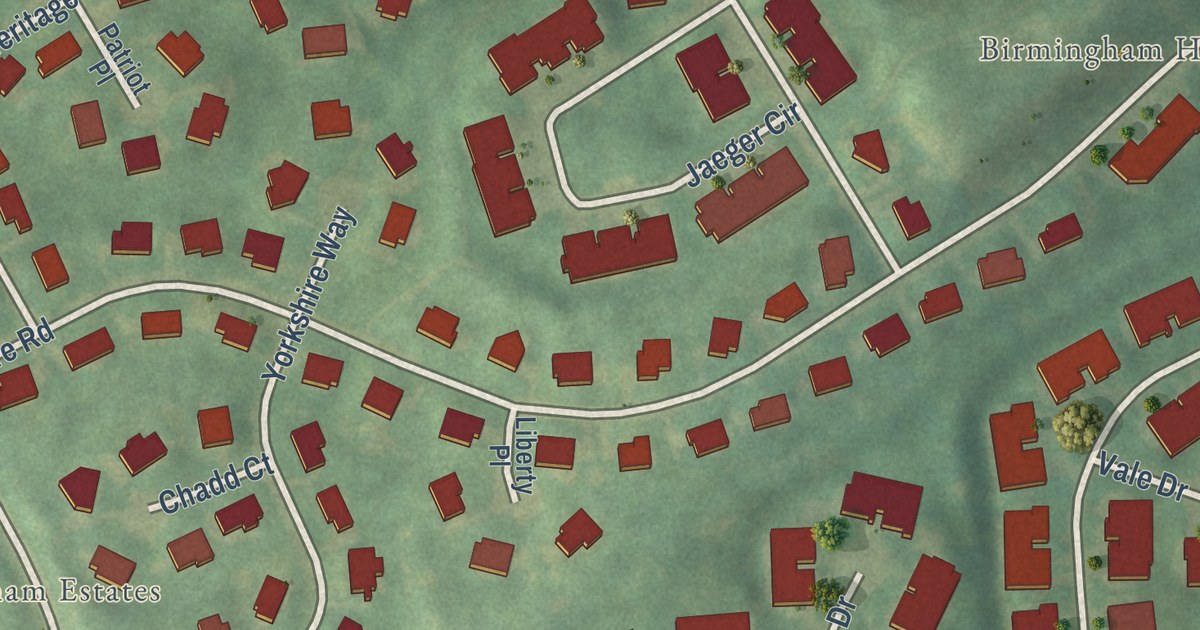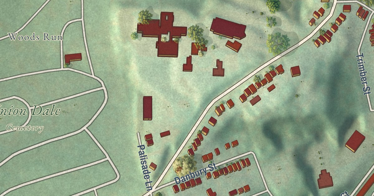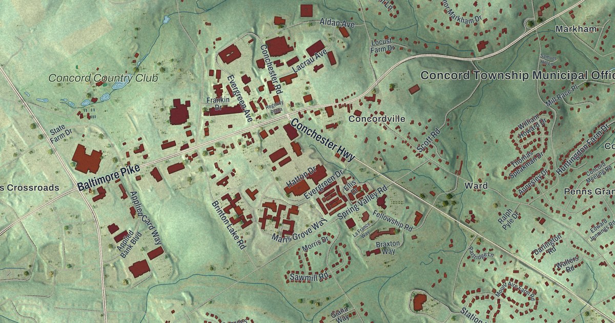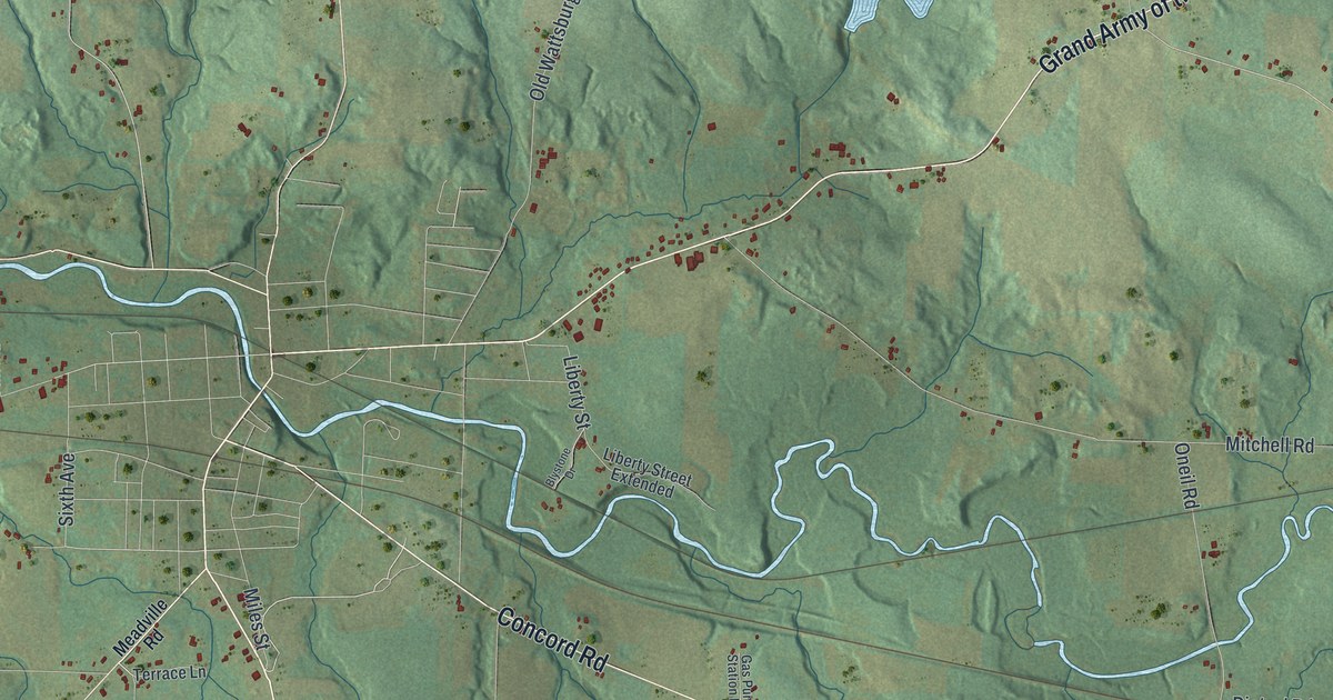
This beautifully detailed map of Union, Erie County, Pennsylvania was created in 2026 using aerial imagery combined with modern topographical, census, street and landmark data. It’s a one-of-a-kind view of Union that combines accurate data with a vintage aesthetic. The map shows every building in its true location, many of the roads carry their names, and the shaded topographic relief shows the shape of the land.
Explore an aerial view of Union, Erie County, Pennsylvania
On the map you’ll find Kimble Corners and North Main, along with Grand Army of the Republic Highway, Roosevelt Highway, Concord Road, Townline Road, Union Leboeuf Road, Shreve Ridge Road, Elgin Road, Kimball Hill Road, Union Amity Road, Old Wattsburg Road, and more. If you look closely you can even find your house accurately drawn in its correct location. Zoom in on the preview to look for yours.
Did you know this piece of Union, Erie County, Pennsylvania history?
Hugh Wilson came from the north of Ireland in 1797 as the first settler in Union Township. In 1799 his sister Elizabeth married William Smith, the first wedding in the south part of Erie County. Hugh became a justice of the peace in 1803. He performed most of the marriages in that part of the county until about 1816. That’s from the 1884 History of Erie County, Pennsylvania.
Take a closer look at the Union, Erie County map
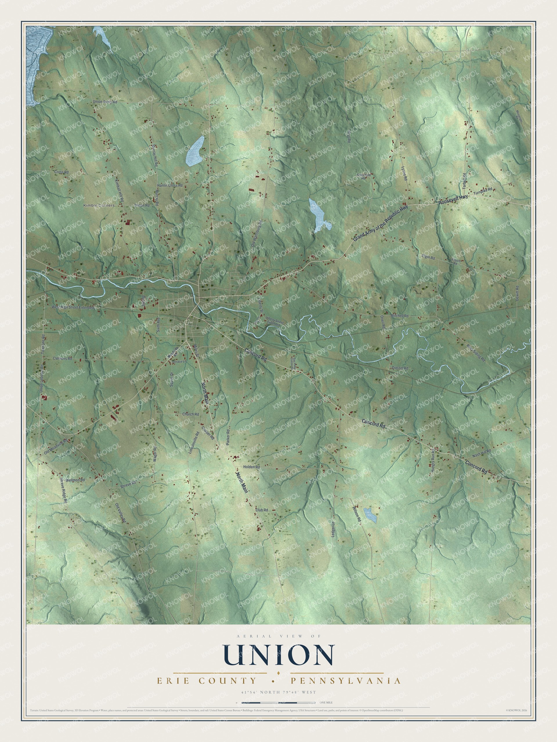
Street and place names on the Union, Erie County, Pennsylvania map
These names are printed on the map of Union, Erie County, Pennsylvania.
Places: Kimble Corners.
Streets and roads: North Main, Grand Army of the Republic Highway, Roosevelt Highway, Concord Road, Townline Road, Union Leboeuf Road, Shreve Ridge Road, Elgin Road, Kimball Hill Road, Union Amity Road, Old Wattsburg Road, Murray Hill Road.
More street names, A to Z
Arborfield Road, Blystone Drive, Church Road, Clemens Road, Club Road, Cooper Road, Cross Road, Dewitt Road, Dietzel Road, Gas Pump Station Road, Hanlin Cross Road, Holden Road, Hoyt Road, Hungry Run Road, Inman Road, Ledger Lane, Liberty Street, Liberty Street Extended, Lincolnville Road, Lyons Road, Meadville Road, Messenger Road, Miles Street, Mitchell Road, Murray Road, Nash Hill Road, Old Meadville Road, Old Valley Road, Oneil Road, Parker Road, Pituch Road, Riley Siding Road, Shreve Road, Sixth Avenue, Squire Drive, Still Road, Tarbell Road, Terrace Lane, Turnpike Road, Wager Road, Wellmon Road, West High Street Extended, Wilson Road.
See the Union, Erie County, Pennsylvania map on a wall
The Union, Erie County map as an 18 x 24 inch print in a black frame.

This beautifully detailed map of Union, Erie County makes an attractive addition to your office, library, or den, and it can even be used to teach children the geography and history of the area. It also makes a great gift for anyone with Union roots. When you’re done exploring, click here to get your copy of the Union, Erie County map.