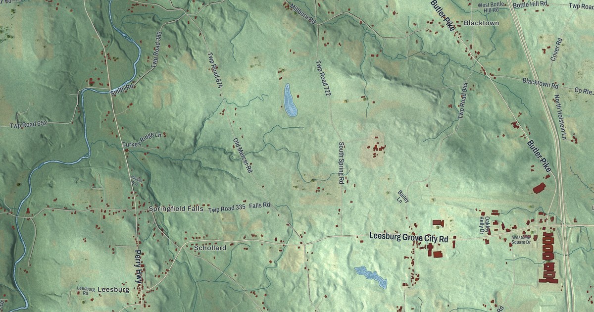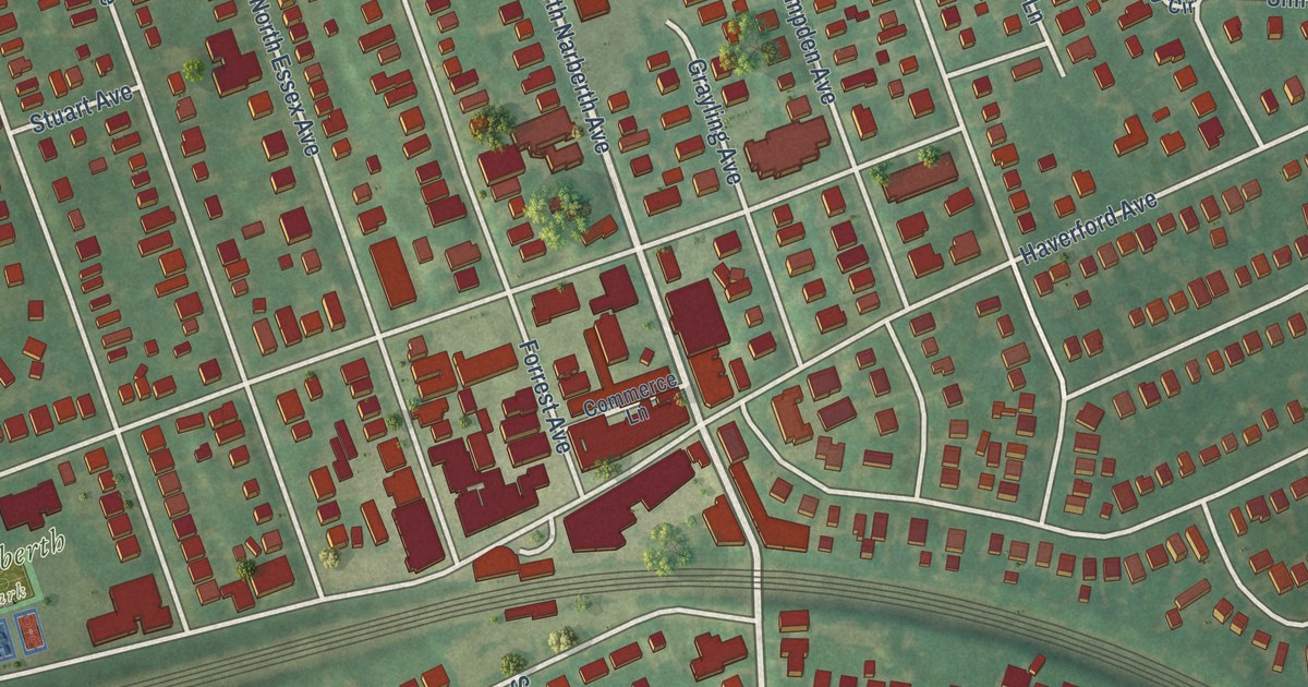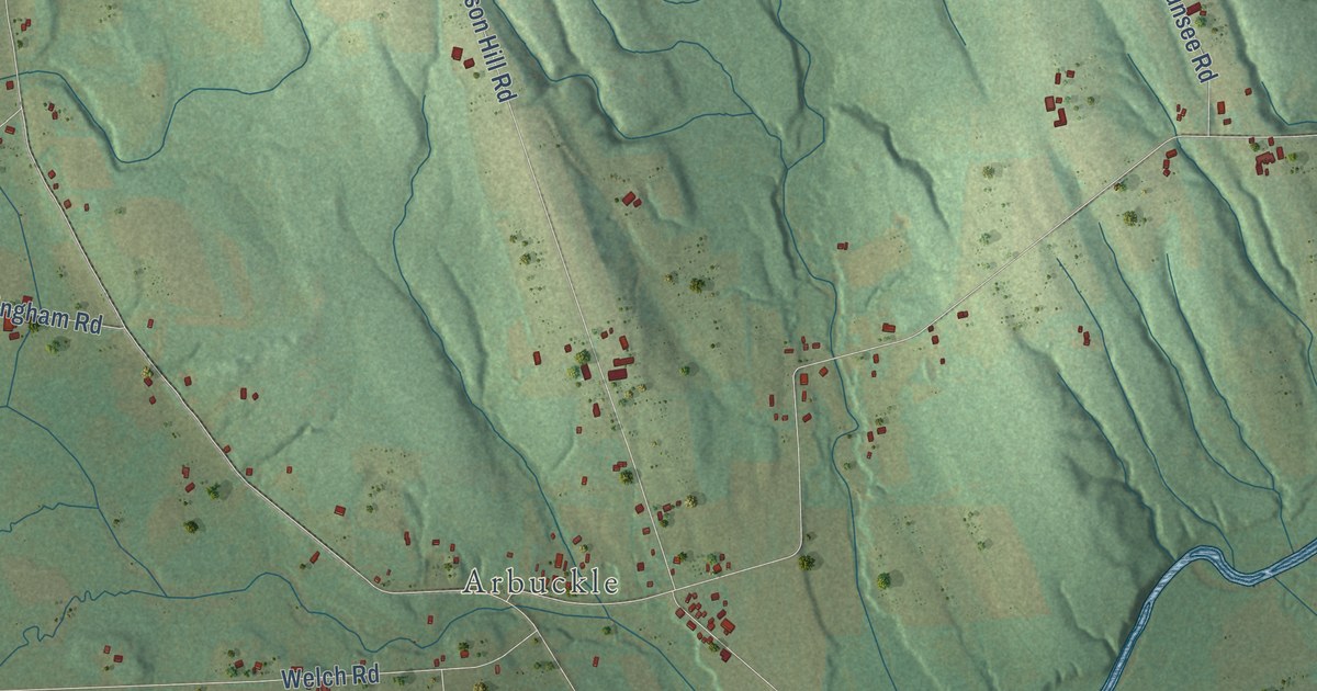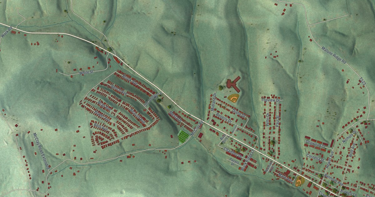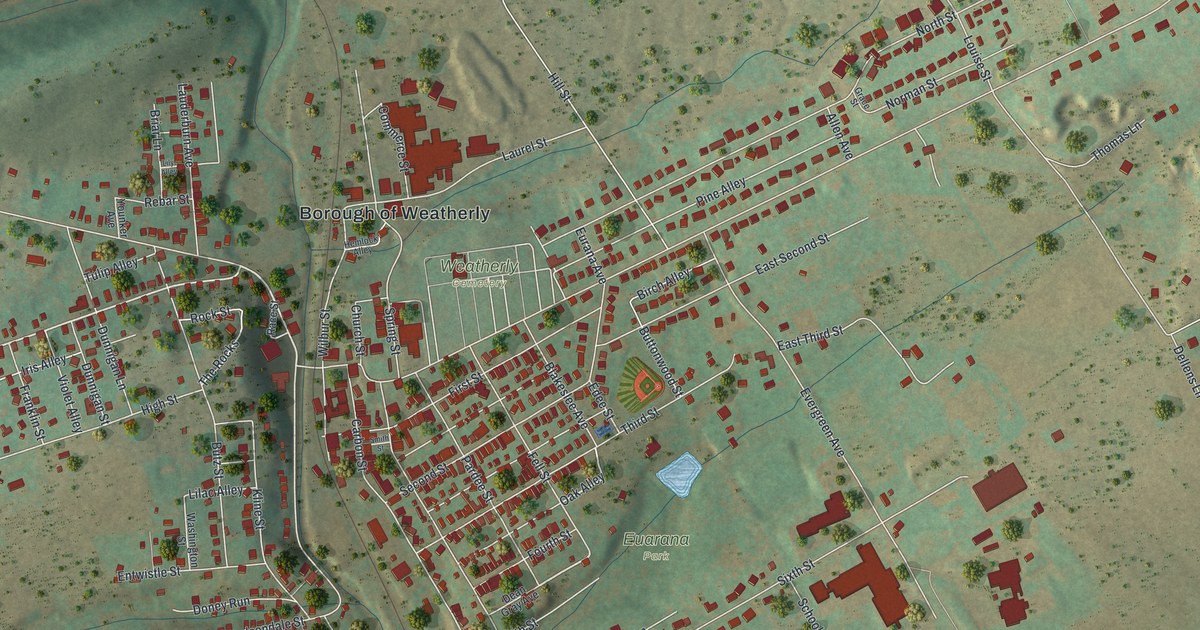
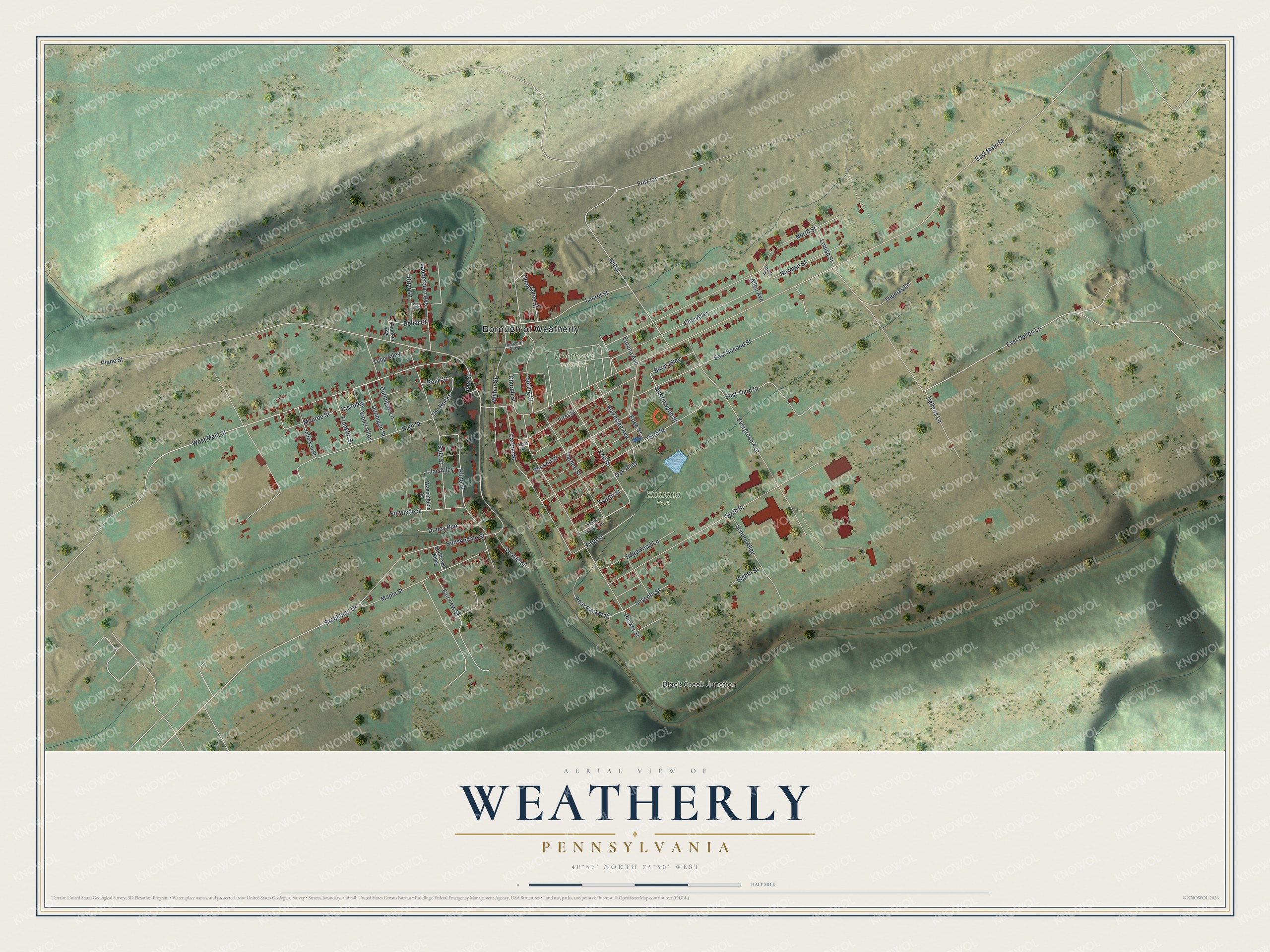
This beautifully detailed map of Weatherly, Pennsylvania was created in 2026 using aerial imagery combined with modern topographical, census, street and landmark data. It’s a one-of-a-kind view of Weatherly that combines accurate data with a vintage aesthetic. The map shows every building in its true location, many of the roads carry their names, and the shaded topographic relief shows the shape of the land.
Explore an aerial view of Weatherly, Pennsylvania
On the map you’ll find Borough of Weatherly, Black Creek Junction, Euarana Park, and Weatherly Cemetery, along with West Main Street, Fritz Lane, Rear Packer Street, Oak Alley, Buttonwood Street, East Main Street, Evergreen Avenue, Sixth Street, and more. If you look closely you can even find your house accurately drawn in its correct location. Zoom in on the preview to look for yours.
Did you know this piece of Weatherly, Pennsylvania history?
From the History of Carbon County: "One of the industries which Weatherly had prior to the abandonment of its railroad shops was its silk mill, owned and operated by the Read and Lovatt Manufacturing Company. This mill, which, at the time of its erection, was the largest silk-throwing concern in the world, was completed in the spring of 1888."
Take a closer look at the Weatherly map
Street and place names on the Weatherly, Pennsylvania map
These names are printed on the map of Weatherly, Pennsylvania.
Places: Borough of Weatherly, Black Creek Junction, Euarana Park and Weatherly Cemetery.
Streets and roads: West Main Street, Fritz Lane, Rear Packer Street, Oak Alley, Buttonwood Street, East Main Street, Evergreen Avenue, Sixth Street, Plane Street, Hudsondale Street, North Street, Packer Street.
More street names, A to Z
Allen Avenue, Birch Alley, Blakeslee Avenue, Brenkman Drive, Briar Lane, Butz Street, Carbon Street, Church Street, Commerce Street, Dean Gray Avenue, Dellens Lane, Doney Run, Dunnigan Lane, Dunnigan Street, East Dellen Lane, East Second Street, East Third Street, Edee Street, Edgewood Lane, Eighth Street, Entwistle Street, Eurana Avenue, Fairview Street, Fell Street, Fifth Street, First Street, Fourth Street, Franklin Street, Grace Street, Hemlock Alley, High Street, Hill Street, Iris Alley, Jefferson Street, Kline Street, Lauderburn Avenue, Laurel Street, Lilac Alley, Lily Alley, Louise Street, Maple Street, Monroe Street, Norman Street, Pardee Street, Pine Alley, Race Street, Rebar Street, Rock Street, School Alley, Second Street, Seventh Street, Smith Street, Spring Street, Sunflower Alley, The Rocks, Third Street, Thomas Lane, Tulip Alley, Violet Alley, Washington Street, Wilbur Street, Yeakle Street, Younker Avenue.
See the Weatherly, Pennsylvania map on a wall
The Weatherly map as an 18 x 24 inch print in a black frame.

This beautifully detailed map of Weatherly makes an attractive addition to your office, library, or den, and it can even be used to teach children the geography and history of the area. It also makes a great gift for someone who left Weatherly and still calls it home. When you’re done exploring, click here to get your copy of the Weatherly map.