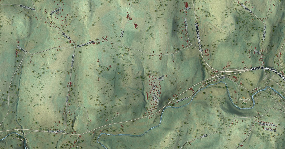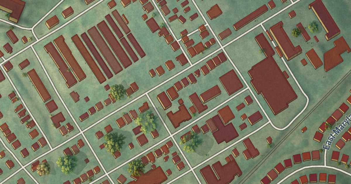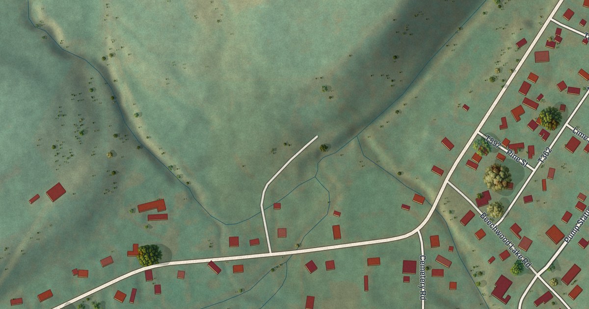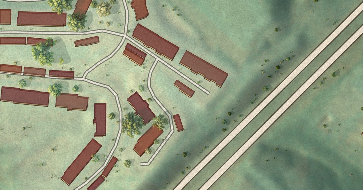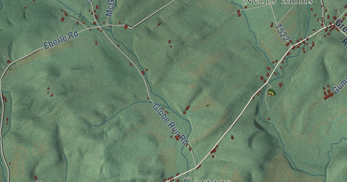
This beautifully detailed map of West, Pennsylvania was created in 2026 using aerial imagery combined with modern topographical, census, street and landmark data. It’s a one-of-a-kind view of West that combines accurate data with a vintage aesthetic. The map shows every building in its true location, many of the roads carry their names, and the shaded topographic relief shows the shape of the land.
Explore an aerial view of West, Pennsylvania
On the map you’ll find Mooresville, Neffs Mills, Rothrock State Forest, Cottage, and Logging Road 31114, along with Shavers Creek Road, Greenwood Road, Diamond Valley Road, Mc Cool Road, Ewing Road, Chesney Road, and more. If you look closely you can even find your house accurately drawn in its correct location. Zoom in on the preview to look for yours.
Did you know this piece of West, Pennsylvania history?
From the History of Huntingdon and Blair Counties: "Since 1876 Granges Nos. 352 and 353 (the latter being in West township) have successfully maintained a co-operative store at Petersburg, which is at present under the management of William W. Stryker."
Take a closer look at the West map
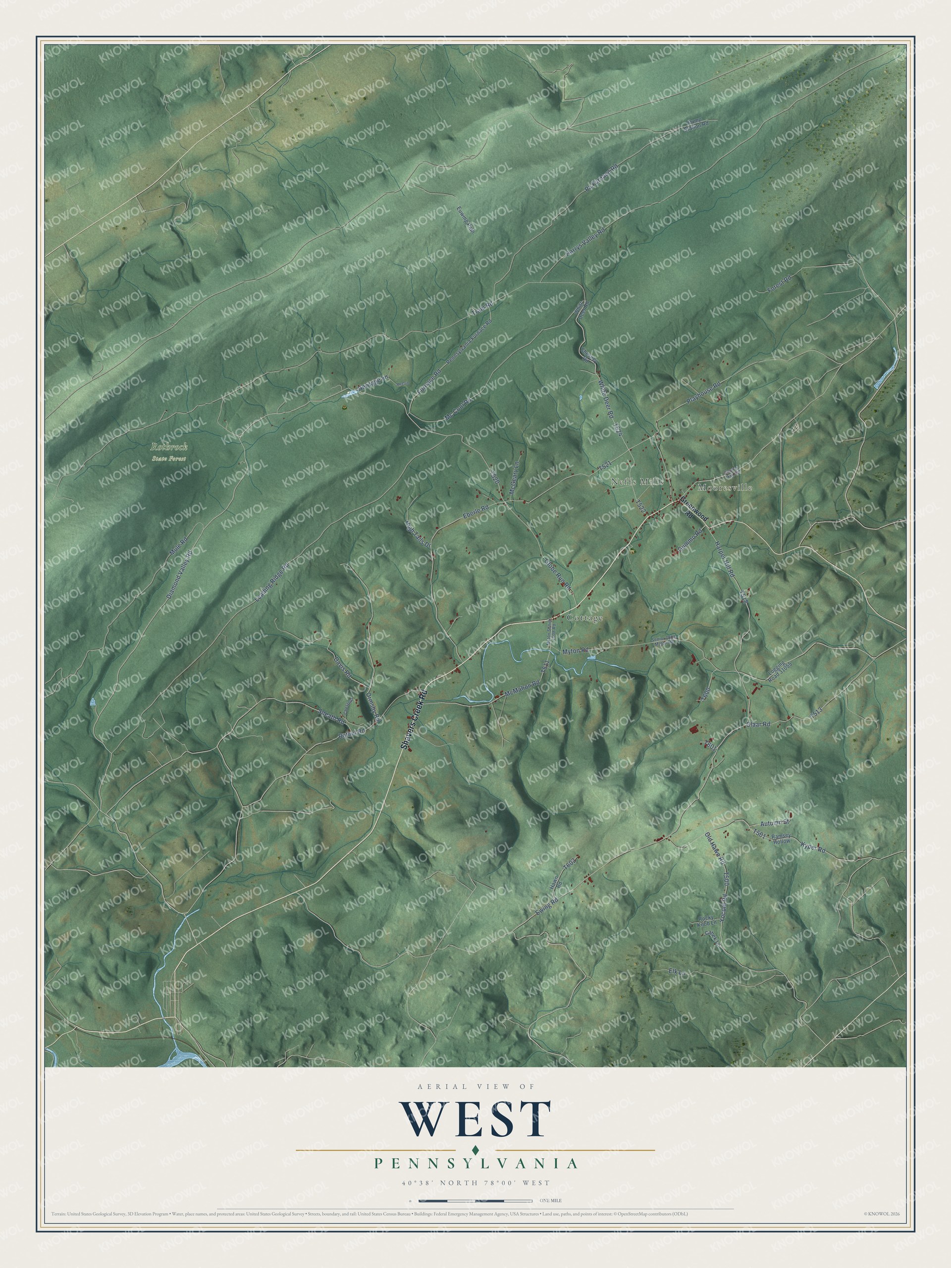
Street and place names on the West, Pennsylvania map
These names are printed on the map of West, Pennsylvania.
Places: Mooresville, Neffs Mills, Rothrock State Forest and Cottage.
Streets and roads: Shavers Creek Road, Diamond Valley Road, Ewing Road, Harper Hill Road, Myton Road, Playhouse Road, Old Hawn Road, Mc Cool Road, White Deer Road, Tram Road, Eberle Road, Leading Ridge Road.
More street names, A to Z
Autumn Street, Bethel Road, Cabek Lane, Charter Oak Road, Chesney Road, Chestnut, Claar Road, Davis Road, Elk Lane, Euwing Path, Forest Road, Furnace Road, Globe Run Road, Greenwood Road, Gummo Road, Harrys Valley Road, Hawn Road, Heritage Lane, High Tails Drive, Kyper Road, Logging Road 31055, McCrib, McGeary Lane, McMahon Road, Mule Road, Myton Senior 1008 Road, Ormsby Road, Pa Furnace Road, Pennsylvania Furnace Road, Pump Station Road, Ramsey Hollow, Rocky Knob Lane, Senior 1008 Myton Road, Sneath Road, Whitr Deer Road, Yocum Road.
See the West, Pennsylvania map on a wall
The West map as an 18 x 24 inch print in a black frame.

This beautifully detailed map of West makes an attractive addition to your office, library, or den, and it can even be used to teach children the geography and history of the area. It also makes a great gift for anyone who grew up in West or moved away. When you’re done exploring, click here to get your copy of the West map.