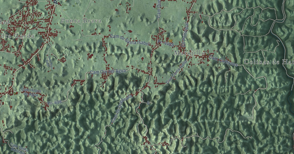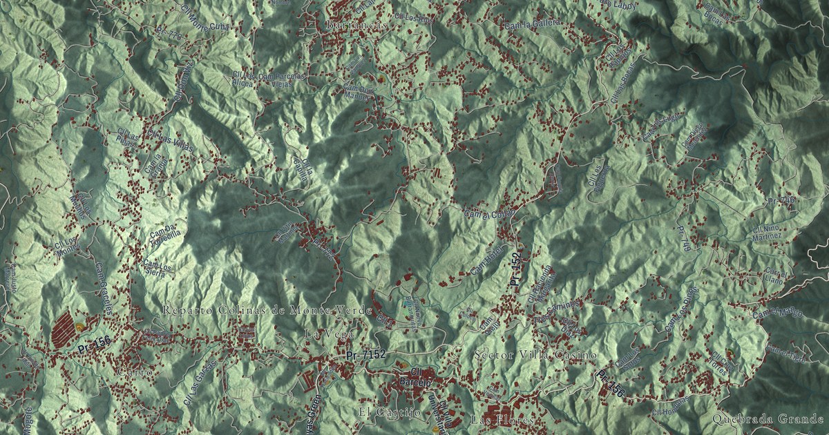
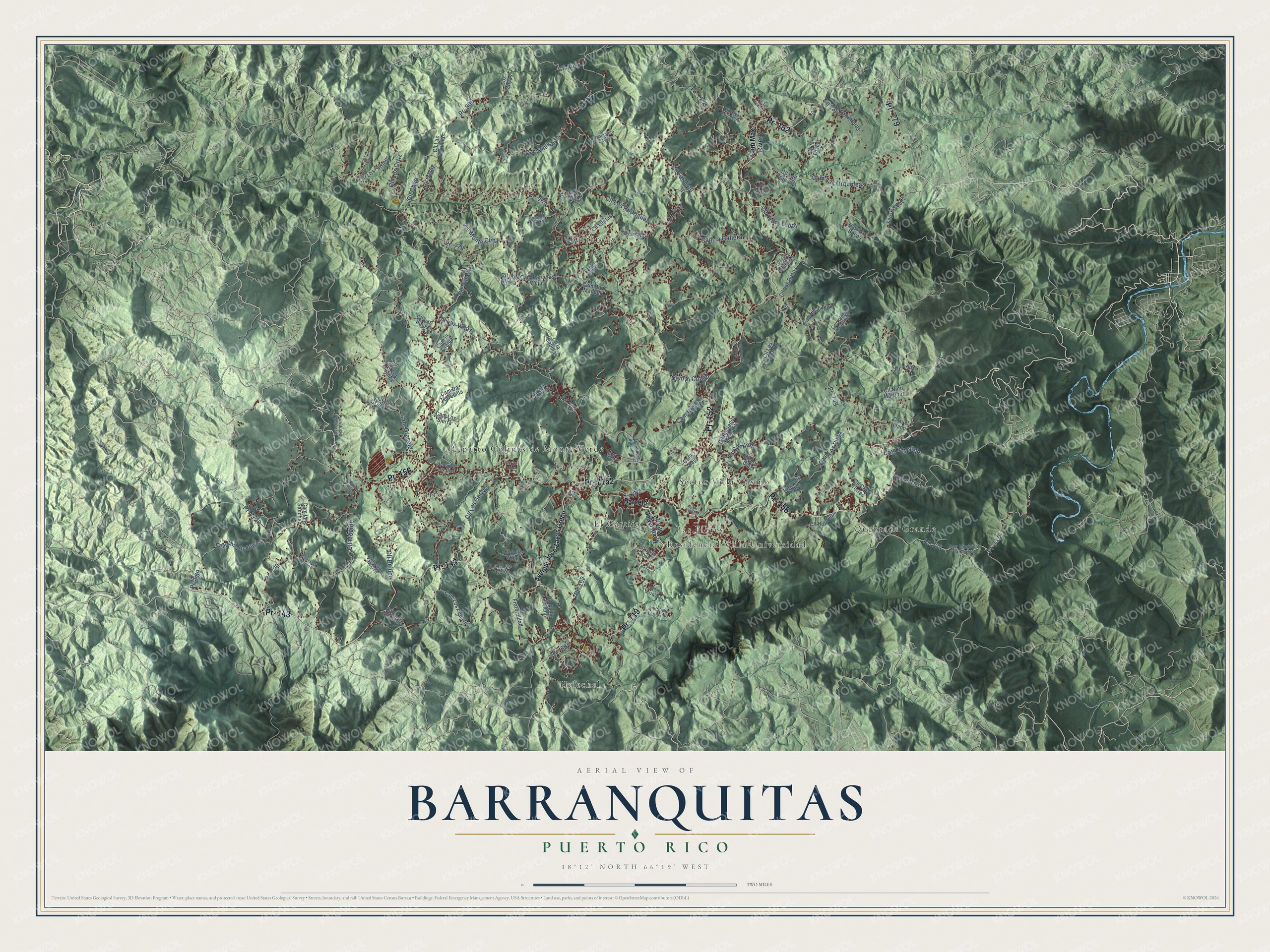
This beautifully detailed map of Barranquitas, Puerto Rico was created in 2026 using aerial imagery combined with modern topographical, census, street and landmark data. It's a modern aerial view of the municipio of Barranquitas, Puerto Rico, that combines modern data with a vintage aesthetic. The roads feature printed names, and if you look closely you can find your exact house accurately shown in its correct location.
Explore an aerial view of Barranquitas, Puerto Rico
On this map you'll find Barrancas, Carro, El Cartijo, Helechal, La Vega, Las Flores, Quebrada Grande, Reparto Colinas de Monte Verde, Residencial Villa Universidad, Sector Villa Casino, Pr- 156, Pr- 779, and more. Each red shape is a building, so zoom in on the preview and look for yours.
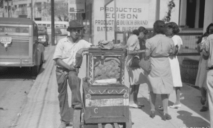
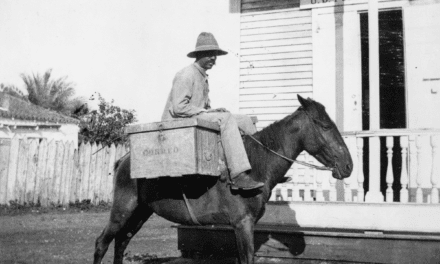
Every town has a first chapter, and Barranquitas is no exception. The 1923 Book of Porto Rico puts it this way: "In the interior of the island especially around Juncos, Gurabo, Caguas, Cayey, Aibonito, Comerío and Barranquitas, on the hills are found black soils of great fertility, due to their richness in humus."
Barranquitas is one of the 78 municipios of Puerto Rico. The Census Bureau counted 28,983 people here in 2020.
Take a closer look at the Barranquitas map
Names on this map
These names are printed on this map.
Places: Barrancas, Carro, El Cartijo, Helechal, La Vega, Las Flores, Quebrada Grande, Reparto Colinas de Monte Verde, Residencial Villa Universidad and Sector Villa Casino.
Streets and roads: Pr- 156, Pr- 779, Pr- 152, Pr- 143, Pr- 7152, Pr- 719, Pr- 800, Pr- 569, Pr- 774, Pr- 7174, Pr- 7720, Pr- 162.
More street names, A to Z
Avenue Jose Zayas Green, Cam Chiru Rodriguez, Cam Coquia Herre, Cam Da Torrecilla, Cam Diego Melendez, Cam Don Manuel, Cam el Collao, Cam el Mango, Cam el Tigre, Cam Graceles, Cam Guillo Negrón, Cam Hotel, Cam Justo Marrero, Cam la Gallera, Cam la Granja, Cam Las Bocas, Cam Las Orquideas, Cam Los Aguirre, Cam Los Blancos, Cam Los Lugo, Cam Los Muñoz, Cam Los Pinos, Cam Los Sierra, Cam Los Sotos, Cam Los Vazquez, Cam Luis Sánchez, Cam Max Rivera, Cam Parcelas Viejas, Cam Vecinal, Cam Viejo, Carr el Llano, Carr Municipal la Charca, Carr Palmarito, Cll 1, Cll Aida, Cll Amadeo Zayas, Cll Apillo el Ocho, Cll Barcelo, Cll Bejuco, Cll Centro Leonismo, Cll Chijo, Cll Coloco, Cll Cruz Torres, Cll Don Viz, Cll Drive Wing, Cll Eduviges, Cll Farallon, Cll Fraternidad, Cll Hacienda Margarita, Cll Haciendita, Cll Honduras, Cll Jaragual, Cll Jose Jose, Cll la Bellota, Cll la Capilla, Cll Lajitas, Cll Las Bocas, Cll Las Bromelias, Cll Las Escuelas, Cll Las Garzas, Cll Las Orquidea, Cll Las Pinas, Cll Las Villas, Cll la Tosca, Cll Los Alicea, Cll Los Aponte, Cll Los Colón, Cll Los Diaz, Cll Los Figueroa, Cll Los Lirios, Cll Los Marrero, Cll Los Montes, Cll Los Muchos, Cll Los Ortiz, Cll Los Papujos, Cll Los Rios, Cll Los Rodriguez, Cll Los Vazquez, Cll Mogote, Cll Monte Cuba, Cll Niño Martinez, Cll Nuevo Barranquitas, Cll Padre Felix Diaz, Cll Pedro Laboy, Cll Puente Roto, Cll Villa Universitaria, Cll Vitín Martínez, Cll Zayas Comercial, Los Zayas, No Tiene Nombre, Pr- 558, Pr- 720, Pr- 746, Pr- 749, Pr- 769, Pr- 770, Pr- 771, Pr- 772, Pr- 773, Pr- 7769, Pr- 7773, Sec la Ceiba, Sec Las Bocas, Tres Caminos.
Created by KNOWOL in 2026. The buildings are small red shapes, the roads carry their printed names, and shaded relief shows the shape of the land. The title panel reads "AERIAL VIEW OF BARRANQUITAS, PUERTO RICO" with 18°12' NORTH 66°19' WEST.
Hang it in the hallway, the office or the cabin, or give it to someone who left Barranquitas and still calls it home. Open the preview and look for a street you know. See sizes and frames for the Barranquitas map.