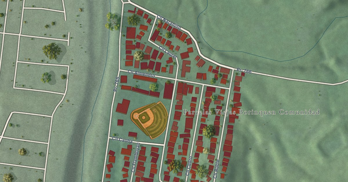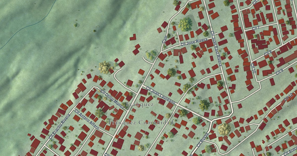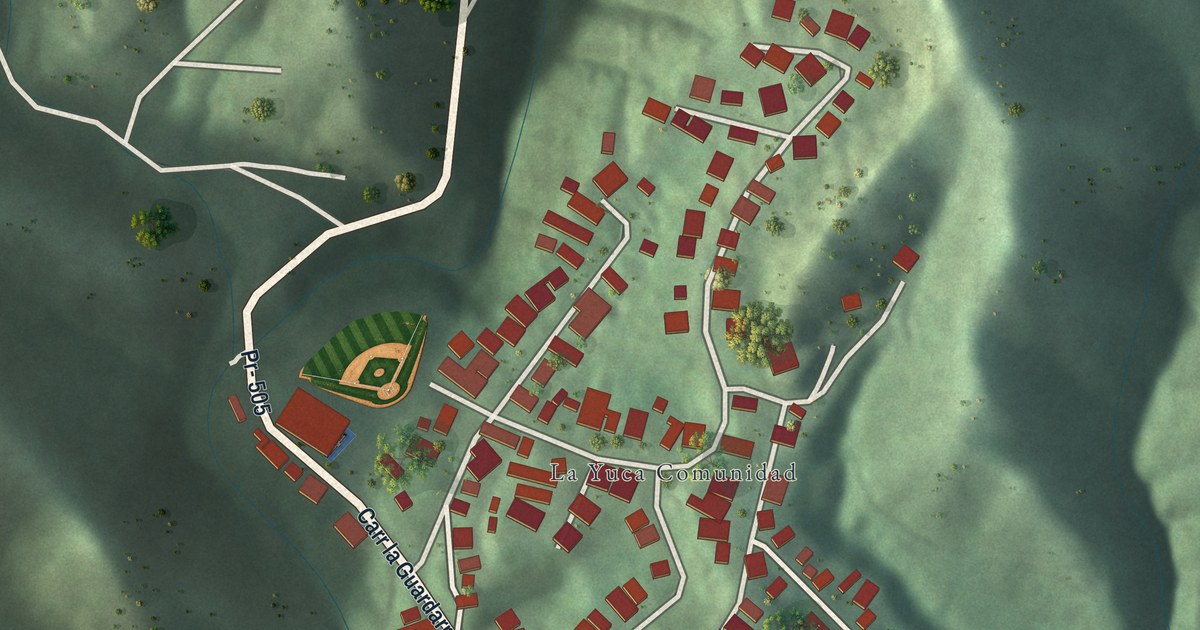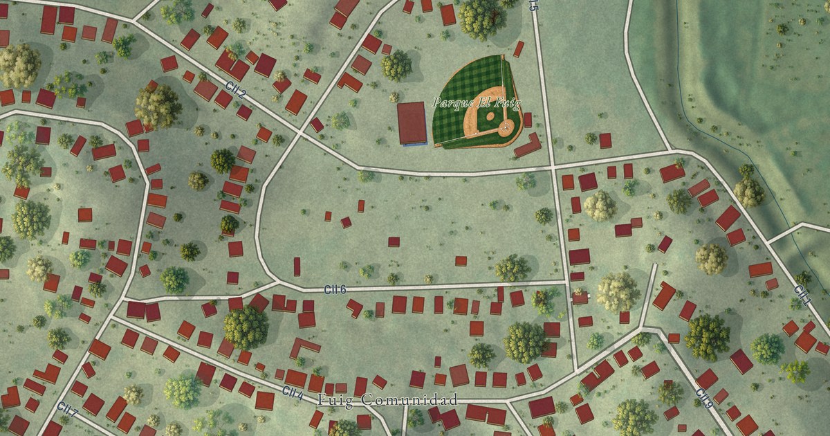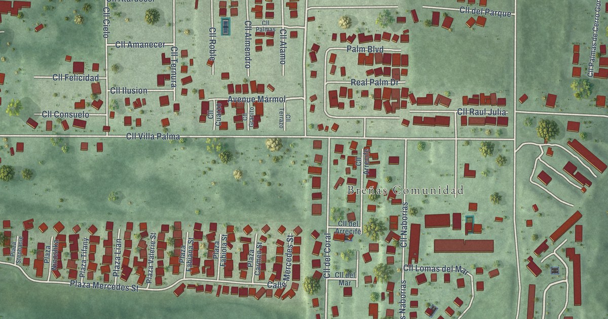
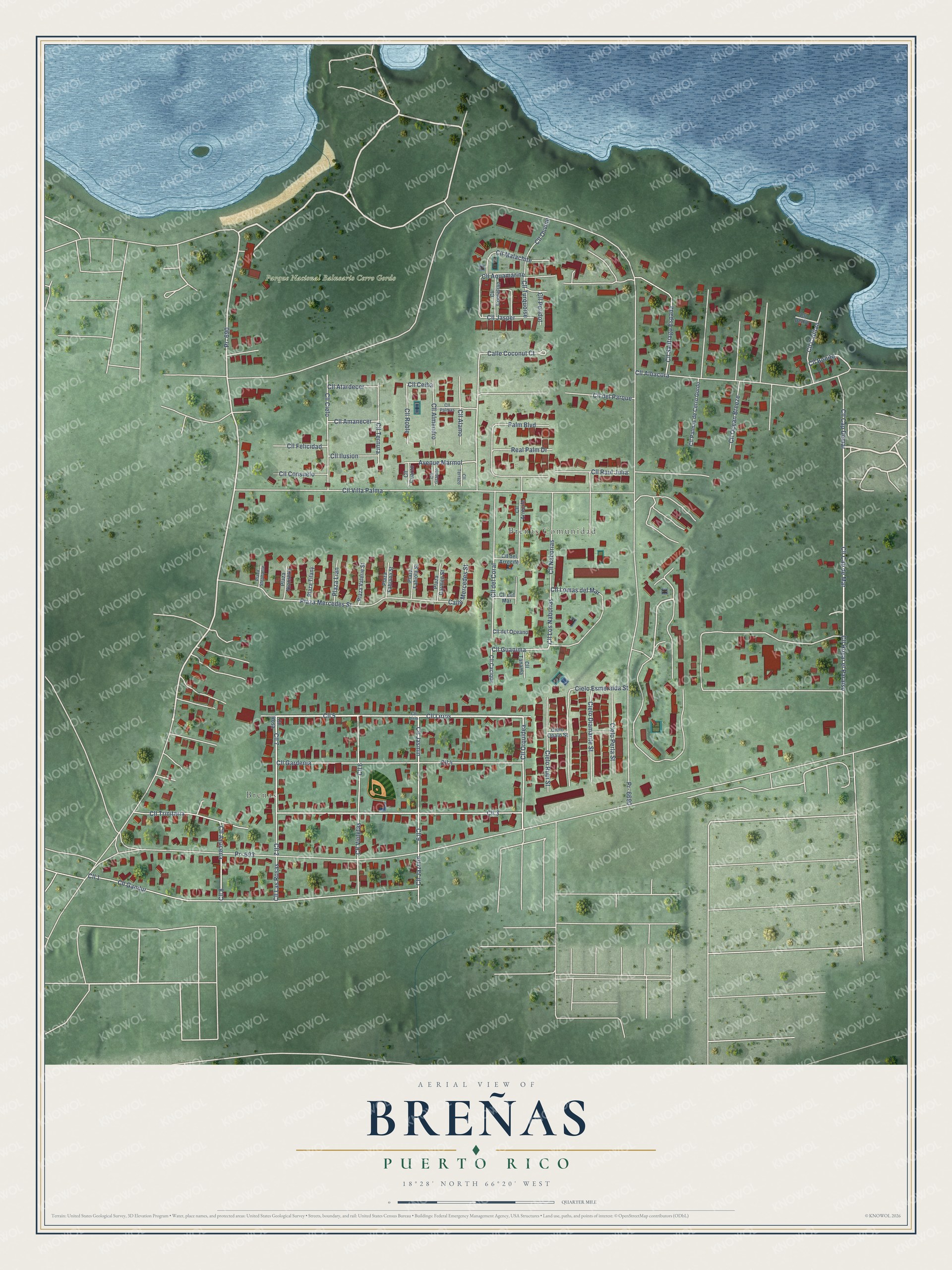
This beautifully detailed map of Breñas, Puerto Rico was created in 2026 using aerial imagery combined with modern topographical, census, street and landmark data. It’s a one-of-a-kind view of Breñas that combines accurate data with a vintage aesthetic. The map shows every building in its true location, many of the roads carry their names, and the shaded topographic relief shows the shape of the land.
Explore an aerial view of Breñas, Puerto Rico
On the map you’ll find Brenas and Parque Nacional Balneario Cerro Gordo, along with Calle Lirios, PR-690, Calle Cap de Mar, Calle Jasmin, Calle Orquidea, and more. Breñas sits about 2 miles north of Ceiba, 3 miles northeast of Monserrate and 3 miles northwest of San Antonio. If you look closely you can even find your house accurately drawn in its correct location. Zoom in on the preview to look for yours.
Take a closer look at the Breñas map
Names on this map
These names are printed on this map.
Places: Brenas, Breñas Comunidad and Parque Nacional Balneario Cerro Gordo.
Streets and roads: Cll 5, Cll Lirios, Pr- 690, Cll Cap de Mar, Cll 7, Cll Jasmin, Cll 3, Cll Orquidea, Cll 8, Cll 6, Cll Hogar el Paraiso, Cll Bonito.
More street names, A to Z
Avenue Mármol, Calle Coconut Court, Calle Mercedes Street, Cielo Diamante Street, Cielo Esmeralda Street, Cielo Opalo Street, Cielo Perla Street, Cielo Rubi Street, Cll 1, Cll 2, Cll 4, Cll 9, Cll Alamo, Cll Albacora, Cll Almendro, Cll Amanecer, Cll Aquamarine, Cll Arrecife, Cll Atardecer, Cll Azucena, Cll Cacique, Cll Cap Demar, Cll Capitan, Cll Ceiba, Cll Cielo, Cll Consuelo, Cll Cornelian, Cll Cuarzo, Cll del Arrecife, Cll del Coral, Cll Delfin, Cll del Mar, Cll del Oceano, Cll del Parque, Cll Felicidad, Cll Gandur, Cll Gardenia, Cll Granito, Cll Guanima, Cll Ilusion, Cll Jasper, Cll Jazmin, Cll Las Rosas, Cll Lirio, Cll Lomas del Mar, Cll Los Naborias, Cll Malachite, Cll Naborias, Cll Ocean Breeze, Cll Olivine, Cll Palmas, Cll Palmas de Cerro Gordo, Cll Peridot, Cll Raul Julia, Cll Roble, Cll Rosa, Cll Santiago Espada, Cll Tanamá, Cll Ternura, Cll Terrazo, Cll Trinitaria, Cll Turquoise, Cll Villa Palma, Cll Violetas, Palm Boulevard, Plaza Carmen Street, Plaza Fabiana Street, Plaza Fabiola Street, Plaza Lian, Plaza Mercedes Street, Plaza Ninoshka, Plaza Stephanie, Plaza Tifany, Plaza Valerie Street, Pr- 693, Pr- 6690, Real Palm Drive.
See it on a wall
The Breñas map as a framed print. Swipe for more.


This beautifully detailed map of Breñas makes an attractive addition to your office, library, or den, and it can even be used to teach children the geography and history of the area. It also makes a great gift for someone who left Breñas and still calls it home. When you’re done exploring, click here to get your copy of the Breñas map.