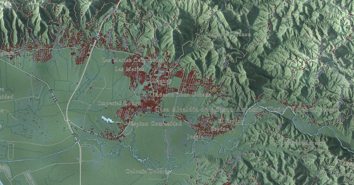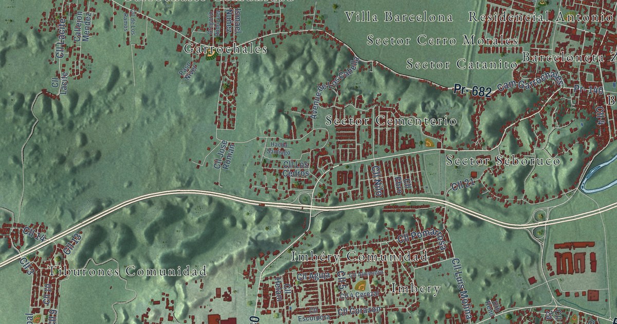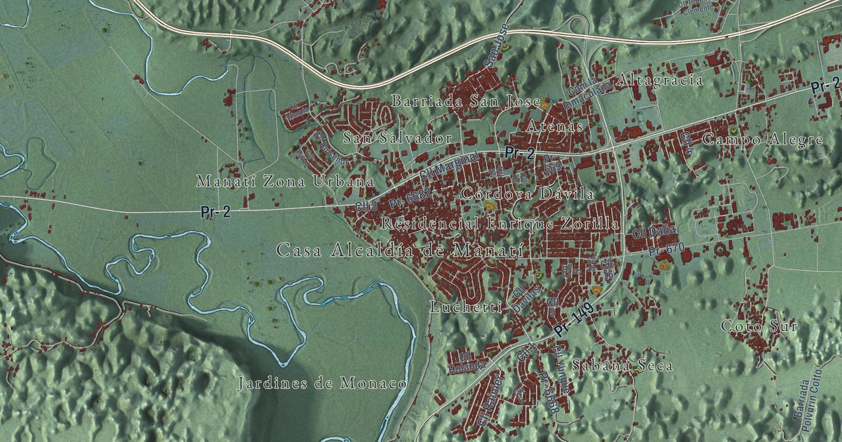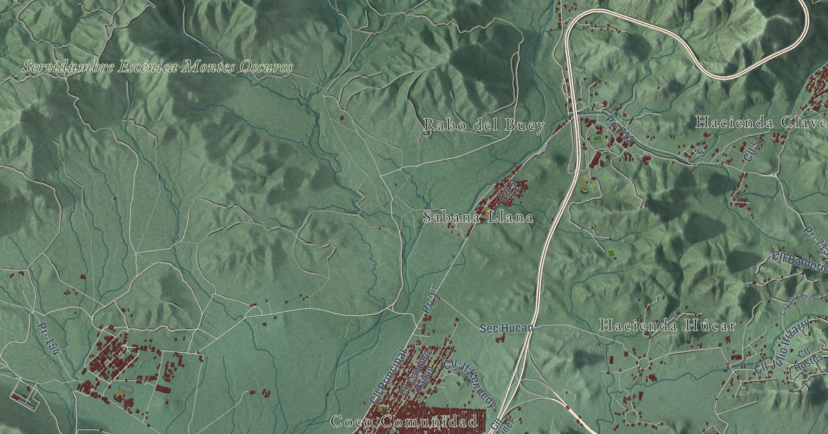
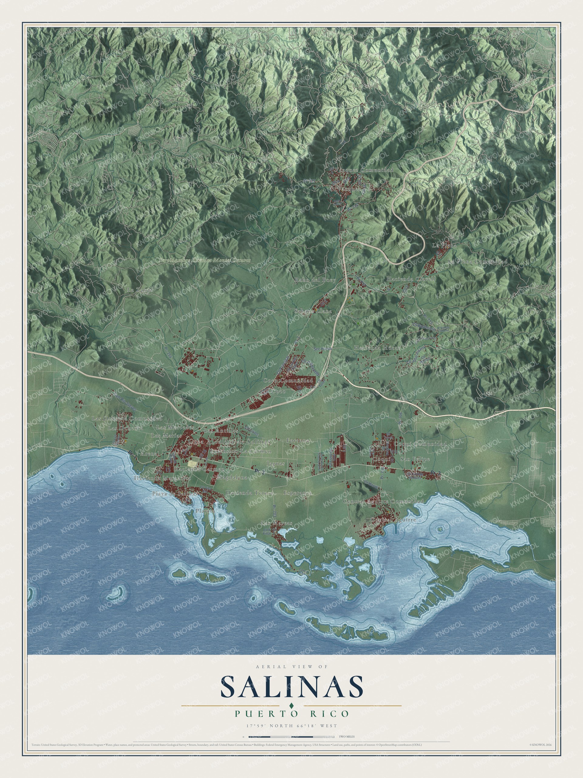
This beautifully detailed map of Salinas, Puerto Rico was created in 2026 using aerial imagery combined with modern topographical, census, street and landmark data. It's a modern aerial view of the municipio of Salinas, Puerto Rico, that combines modern data with a vintage aesthetic. The roads feature printed names, and if you look closely you can find your exact house accurately shown in its correct location.
Explore an aerial view of Salinas, Puerto Rico
On this map you'll find Casa Alcaldía de Salinas, Servidumbre Escénica Montes Oscuros, Arenal, Central Aguirre, Central Aguirre Comunidad, Coco, Coco Comunidad, Coquí, Coquí Comunidad, Esperanza, Extension La Carmen, Fortuna, and more. Each red shape is a building, so zoom in on the preview and look for yours.
Every town has a first chapter, and Salinas is no exception. The 1899 handbook Our Island Empire puts it this way: "On the southeast are the small ports of Salinas and Arroyo, the latter the port of Guayama, with a considerable trade in sugar."
Salinas is one of the 78 municipios of Puerto Rico. The Census Bureau counted 25,789 people here in 2020.
Take a closer look at the Salinas map
Names on this map
These names are printed on this map.
Places: Casa Alcaldía de Salinas, Servidumbre Escénica Montes Oscuros, Arenal, Central Aguirre, Central Aguirre Comunidad, Coco, Coco Comunidad, Coquí, Coquí Comunidad, Esperanza, Extension La Carmen, Fortuna, Hacienda Carmen, Hacienda Clavell, Hacienda Húcar, Hacienda Margarita, Hacienda Teresa, Jaguas, La Plena, La Plena Comunidad, La Zanja, Las Antillas, Las Mareas, Las Marías, Las Mercedes, Las Ochenta, Las Ochenta Comunidad, Magdalena, Playa de Salinas, Playita, Rabo del Buey, Sabana Llana, San Felipe, Vázquez and Vázquez Comunidad.
Streets and roads: Pr- 1, Pr- 3, Pr- 703, Cll Lirios, Cll Principal, Cll 1, Cll 9, Cll 13, Cll 2, Cll 4, Cll Baldorioty, Cll 5.
More street names, A to Z
Avenue Nuestra Senora de la Paz, Calle East, Cam de Playa, Cam el Indio, Cam Río Jueyes, Cll 3, Cll 6, Cll 7, Cll 8, Cll 8 Final, Cll 10, Cll 11, Cll 12, Cll 16, Cll 18, Cll A-2, Cll Betances, Cll Candido Pagan, Cll Clotilde Vazquez, Cll Francisco Cruz, Cll Hostos, Cll Jf Kennedy, Cll Julio Irizarry, Cll la Fabrica, Cll Las Flores, Cll Luis Llorens Torres, Cll Manati, Cll Munoz Rivera, Cll Palmer, Cll Roberto Clemente, Cll Tunel, Cll Turca, Cll Villa Sol, Pablo Solivan, Pr- 154, Pr- 180, Pr- 701, Pr- 705, Pr- 706, Pr- 712, Pr- 713, Pr- 714, Pr- 716, Pr- 717, Sec Hucan.
Created by KNOWOL in 2026. The buildings are small red shapes, the roads carry their printed names, and shaded relief shows the shape of the land. The title panel reads "AERIAL VIEW OF SALINAS, PUERTO RICO" with 17°59' NORTH 66°18' WEST.
Hang it in the hallway, the office or the cabin, or give it to someone who left Salinas and still calls it home. Open the preview and look for a street you know. See sizes and frames for the Salinas map.