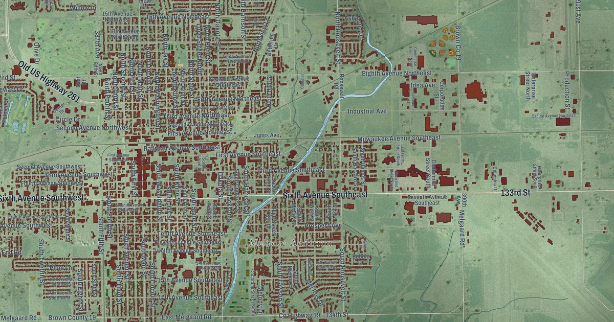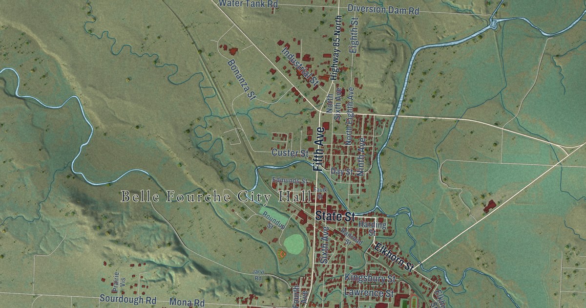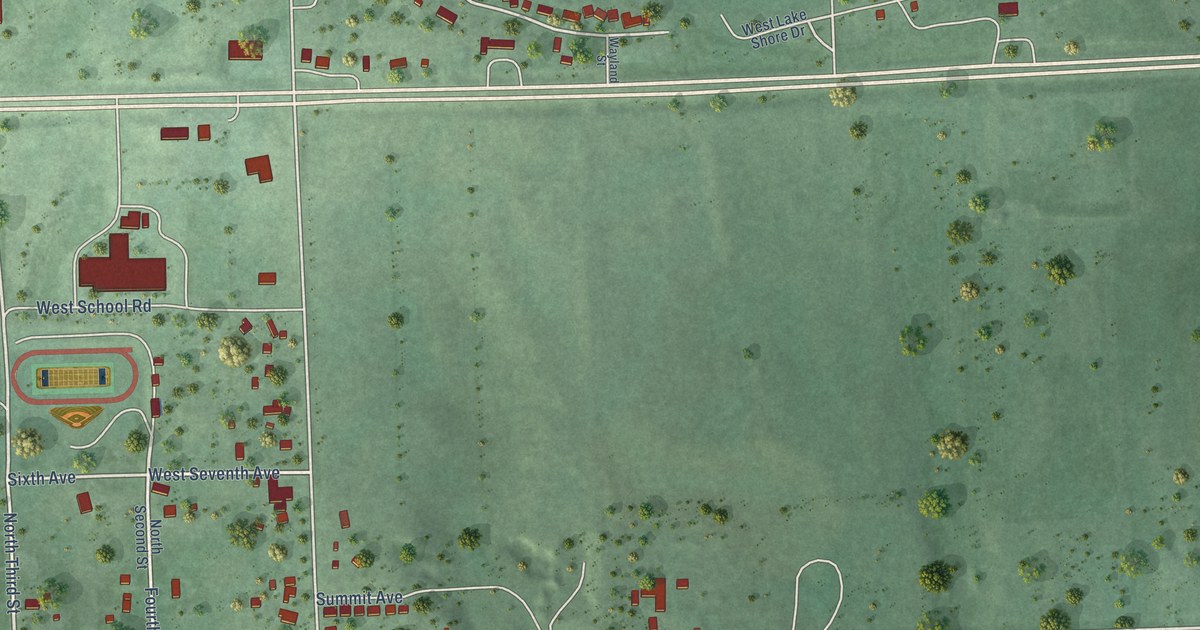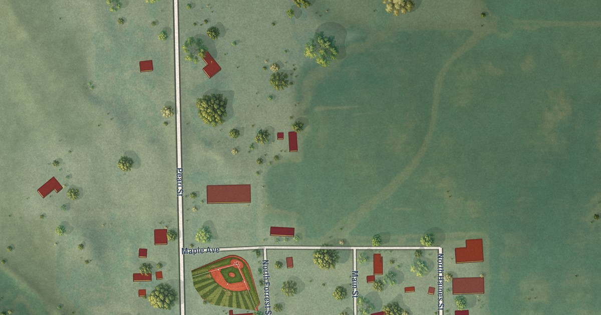
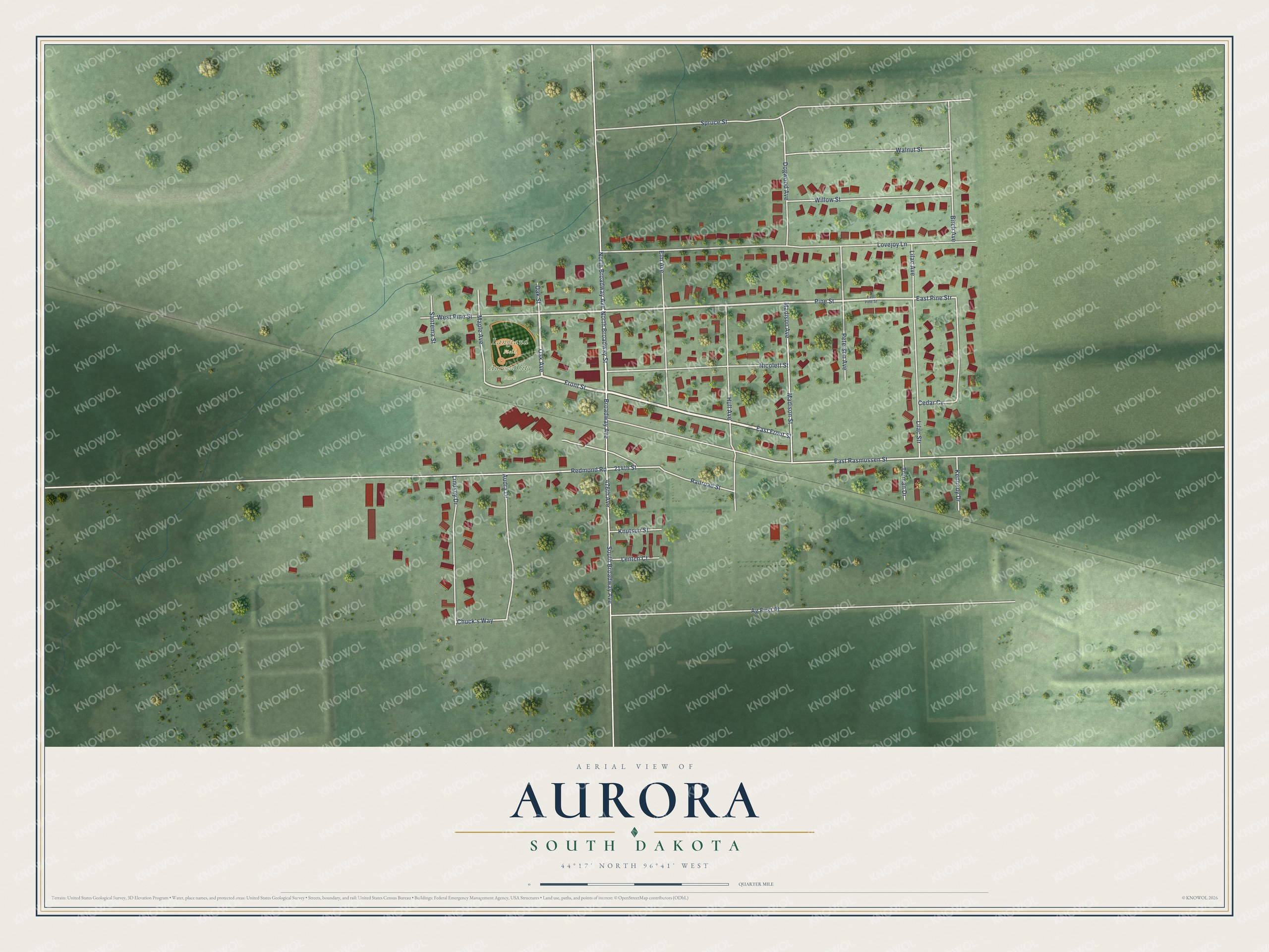
This beautifully detailed map of Aurora, South Dakota was created in 2026 using aerial imagery combined with modern topographical, census, street and landmark data. It's a modern aerial view of Aurora in Brookings County, South Dakota, that combines modern data with a vintage aesthetic. The roads feature printed names, and if you look closely you can find your exact house accurately shown in its correct location.
Explore an aerial view of Aurora, South Dakota
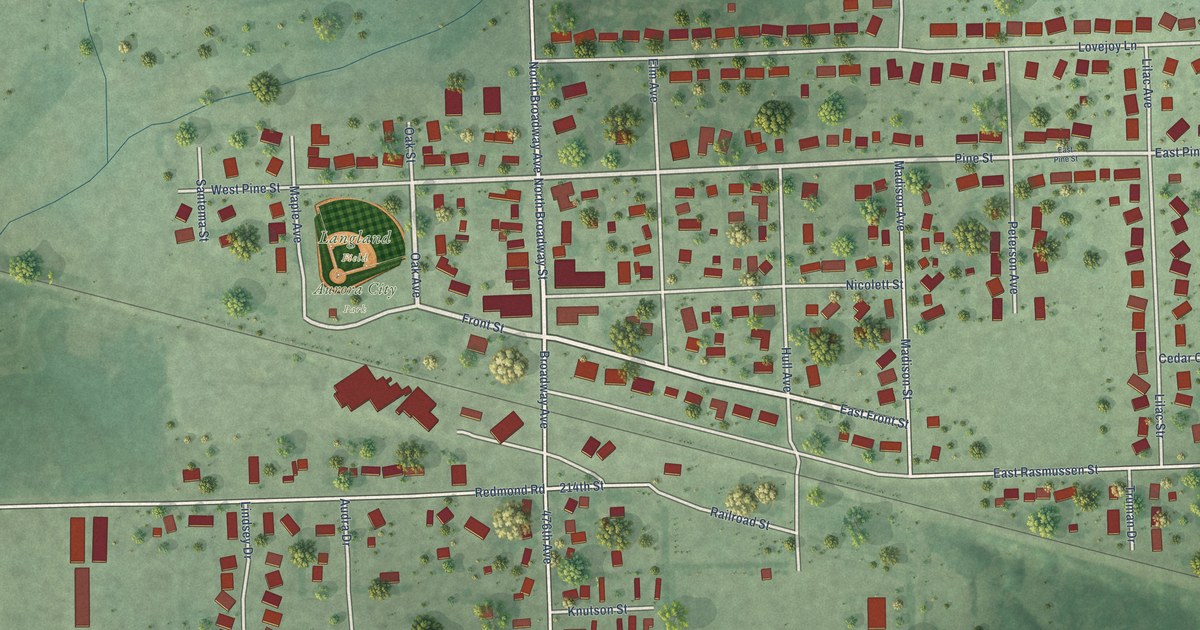
On this map you'll find Aurora City Park, Langland Field, Oak Avenue, Front Street, East Front Street, North Broadway Street, North Broadway Avenue, Pine Street, Broadway Avenue, East Pine Str, Railroad Street, 214th Street, and more. Each red shape is a building, so zoom in on the preview and look for yours.
Here is a piece of Aurora history, in the words of the record. The Federal Writers Project puts it this way: "AURORA, 14.2 m. (1,630 alt., 234 pop.), platted in 1880 at the time of the extension of the railroad into this part of the State, has tall red grain elevators, white houses, and a few towering cottonwood trees, which break the level expanse of rich farm land."
Aurora is a town in Brookings County. The Census Bureau counted 1,047 people here in 2020.
Take a closer look at the Aurora map
Names on this map
These names are printed on this map.
Places: Aurora City Park and Langland Field.
Streets and roads: Oak Avenue, Front Street, East Front Street, North Broadway Street, North Broadway Avenue, Pine Street, Broadway Avenue, East Pine Str, Railroad Street, 214th Street, 476th Avenue, East Rasmussen Street.
More street names, A to Z
Ag First Place, Audra Drive, Birch Avenue, Cedar Cv, Chuck's Way, Dogwood Avenue, East Pine Street, Elm Avenue, Hull Avenue, Kennedy Drive, Knutson Street, Lentch Court, Lilac Avenue, Lilac Str, Lindsey Drive, Lovejoy Lane, Madison Avenue, Madison Street, Maple Avenue, Nicolett Street, Oak Street, Peterson Avenue, Redmond Road, Santema Street, South Broadway Avenue, Spruce Street, Truman Drive, Walnut Street, West Pine Street, Willow Street.
Created by KNOWOL in 2026. The buildings are small red shapes, the roads carry their printed names, and shaded relief shows the shape of the land. The title panel reads "AERIAL VIEW OF AURORA SOUTH DAKOTA" with 44°17' NORTH 96°41' WEST.
It suits a den, a classroom or a front hall, and it makes a gift for anyone with Aurora roots. Open the preview and find the block you know. See sizes and frames for the Aurora map.