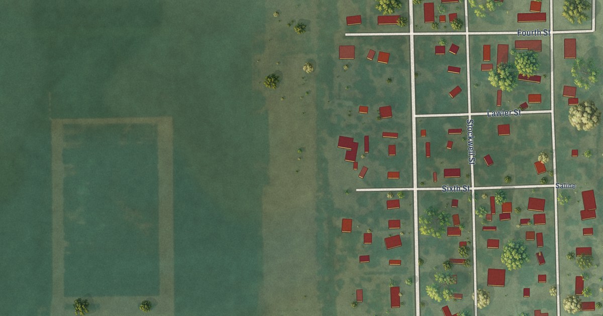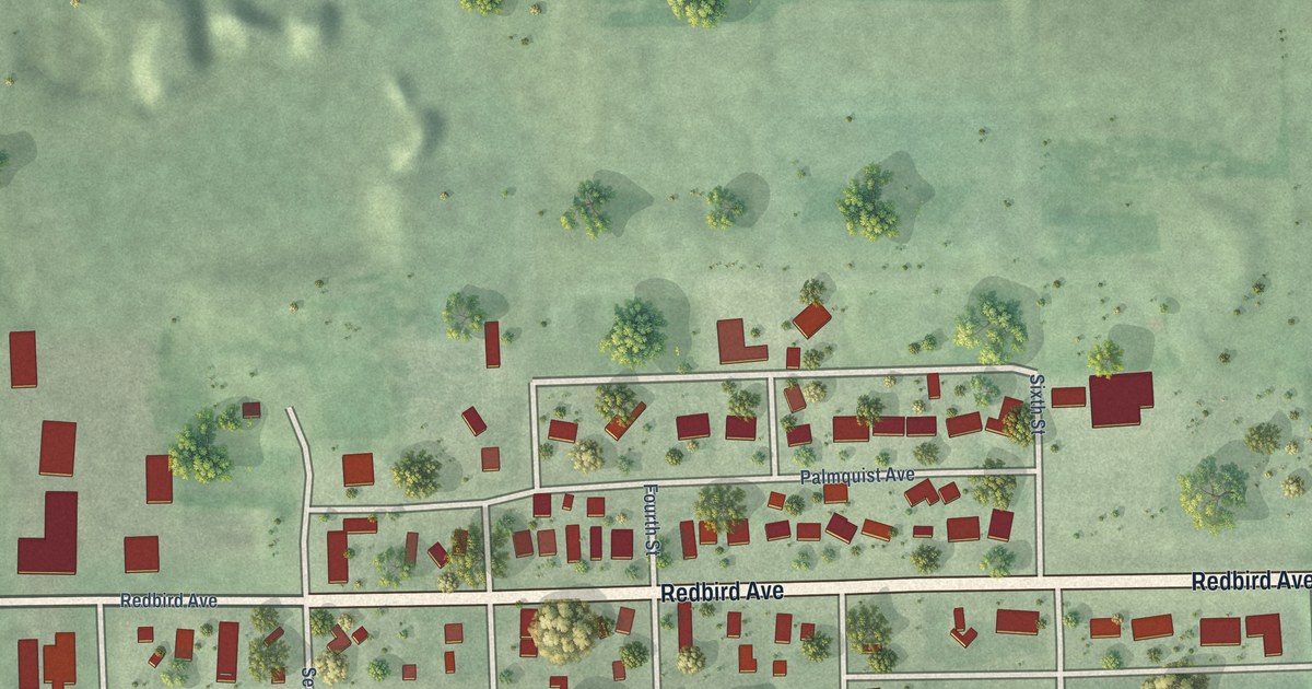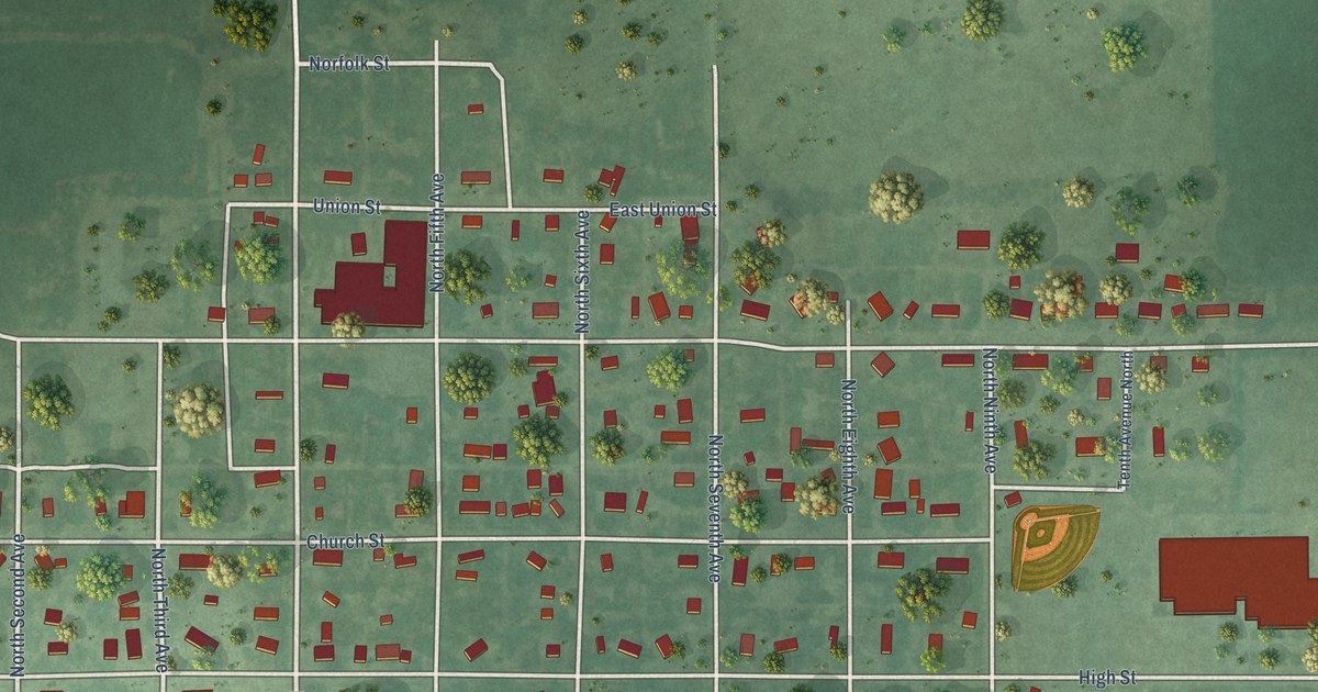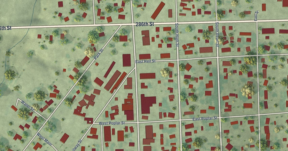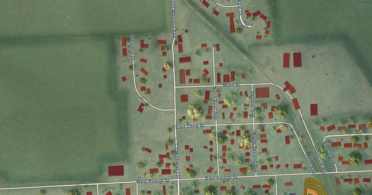
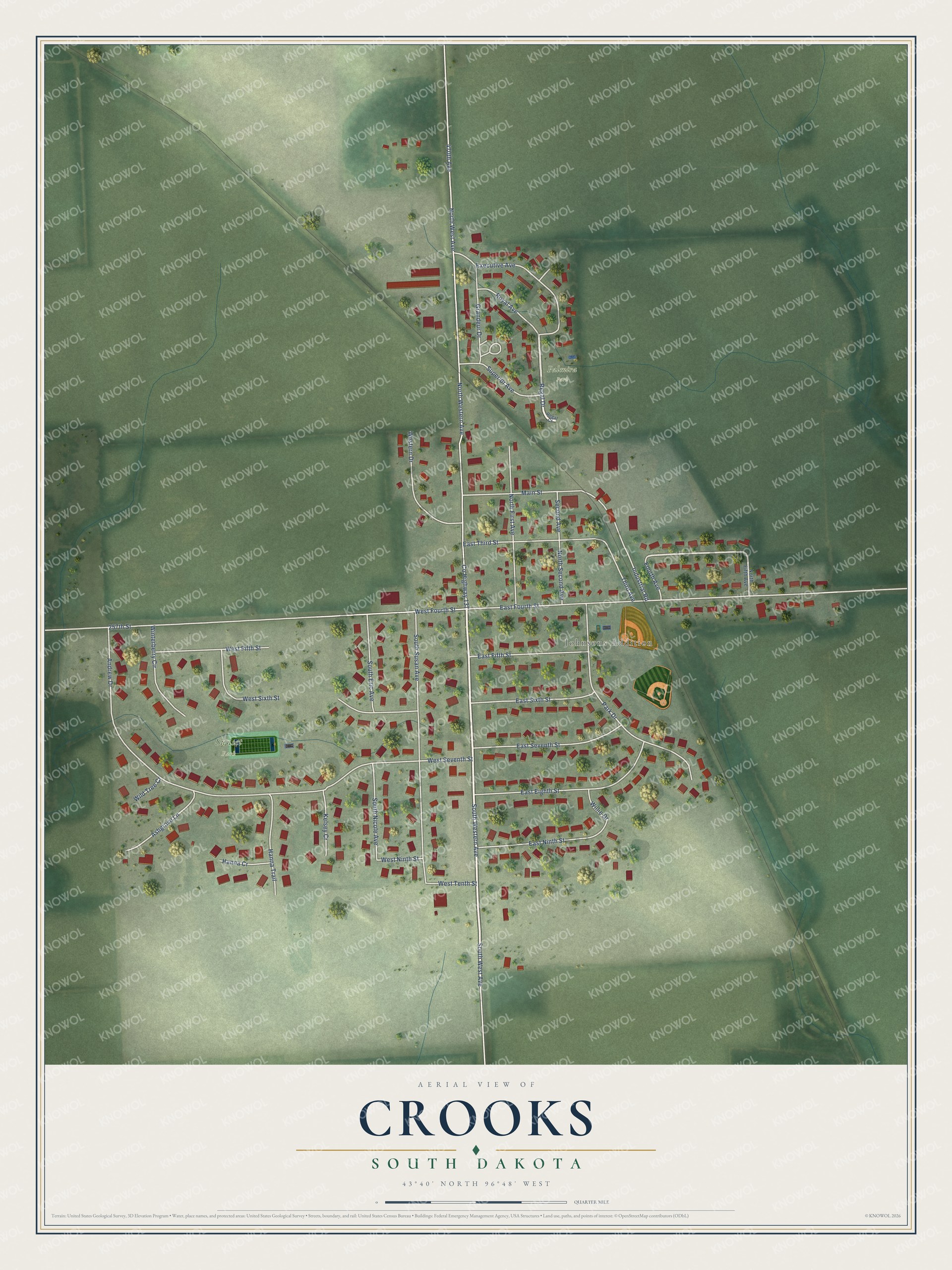
This beautifully detailed map of Crooks, South Dakota was created in 2026 using aerial imagery combined with modern topographical, census, street and landmark data. It's a modern aerial view of Crooks in Minnehaha County, South Dakota, that combines modern data with a vintage aesthetic. The roads feature printed names, and if you look closely you can find your exact house accurately shown in its correct location.
Explore an aerial view of Crooks, South Dakota
On this map you'll find Johnsons Addition, Sunset Park, Palmira Park, Regal Drive, South West Avenue, South Western Avenue, East Third Street, 470th Avenue, Co Highway 137, North West Avenue, North Western Avenue, 257th Street, and more. Each red shape is a building, so zoom in on the preview and look for yours.
Crooks has a story worth telling. The George W. Kingsbury puts it this way: "Albert Johnson, senior partner of the firm of Albert Johnson & Company, general merchants, is one of the leading representatives of commercial activity in Minnehaha county, conducting a large and well appointed store in Crooks, where he established the business in 1904."
Crooks is a city in Minnehaha County. The Census Bureau counted 1,362 people here in 2020.
Take a closer look at the Crooks map
Names on this map
These names are printed on this map.
Places: Johnsons Addition, Sunset Park and Palmira Park.
Streets and roads: Regal Drive, South West Avenue, South Western Avenue, East Third Street, 470th Avenue, County Highway 137, North West Avenue, North Western Avenue, 257th Street, East Fourth Street, Andrew Drive, South Susan Avenue.
More street names, A to Z
Ashgrove Lane, East Eighth Street, East Fifth Street, East Ninth Street, East Seventh Street, East Sixth Street, Executive Avenue, Fourth Avenue, Grandeur Drive, Hanna Cr, Hanna Trail, Industrial Road, Kelsey Cr, Main Street, North Fifth Avenue, North First Avenue, North Second Avenue, Park Drive, Regal Court, Royal Avenue, Second Avenue, South Eric Avenue, South Nicole Avenue, Superior Avenue, Third Avenue, Western Drive, West Fifth Street, West Fourth Street, West Ninth Street, West Seventh Street, West Sixth Street, West Tenth Street, Wild Tree Cr, Willie Drive, Winterberry Circle.
Created by KNOWOL in 2026. The buildings are small red shapes, the roads carry their printed names, and shaded relief shows the shape of the land. The title panel reads "AERIAL VIEW OF CROOKS SOUTH DAKOTA" with 43°40' NORTH 96°48' WEST.
It looks right in a kitchen, an office or a den, and it's a gift for anyone who grew up in Crooks or moved away. Open the preview and find your street. See sizes and frames for the Crooks map.