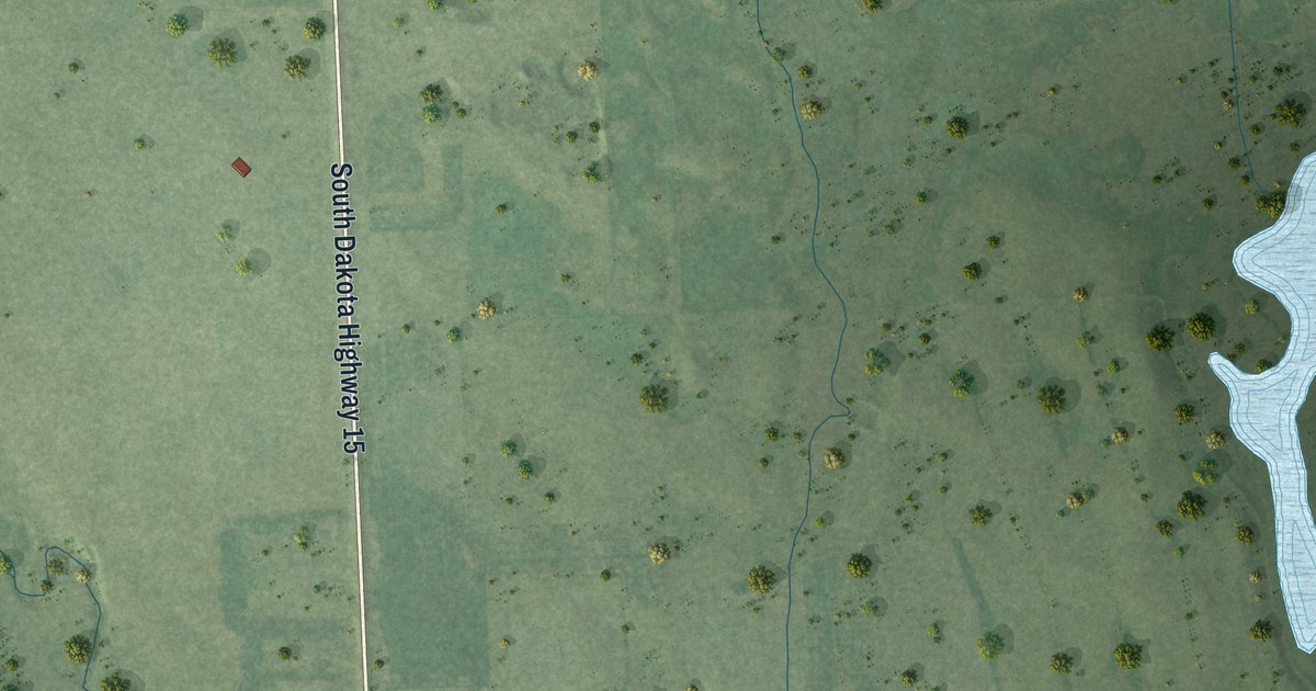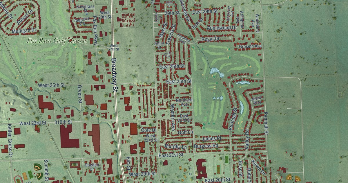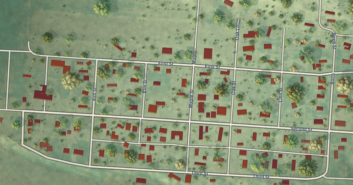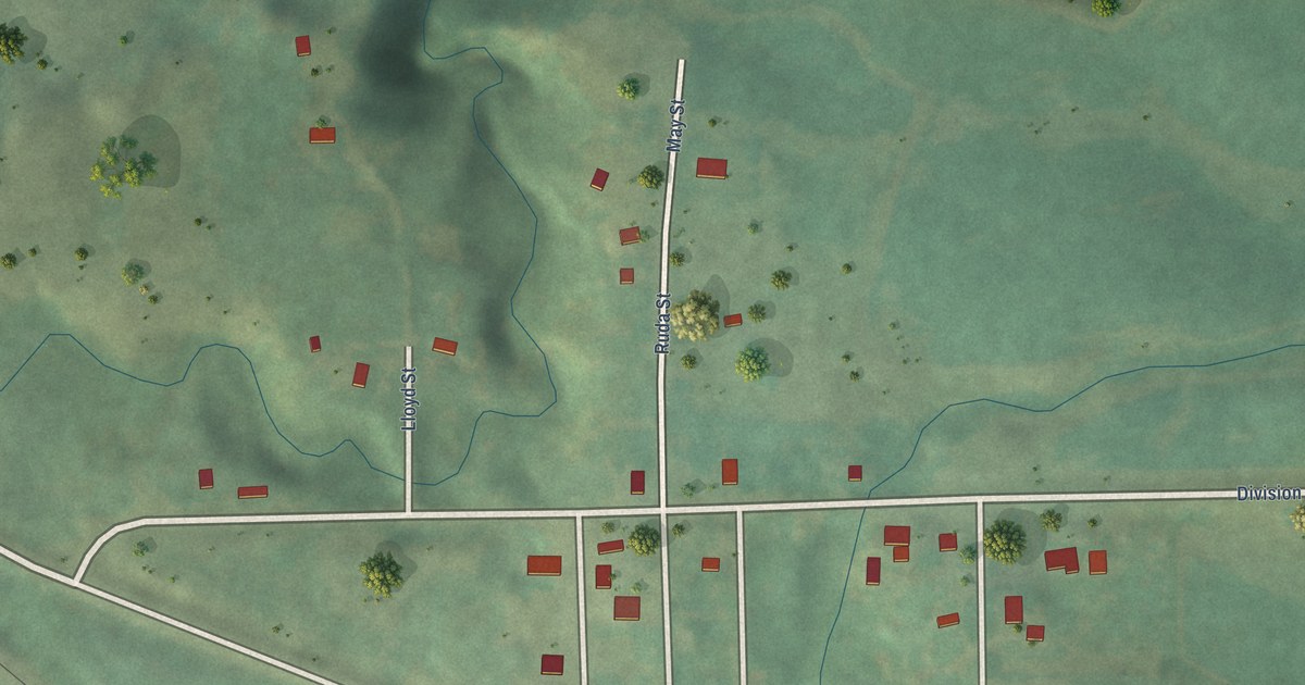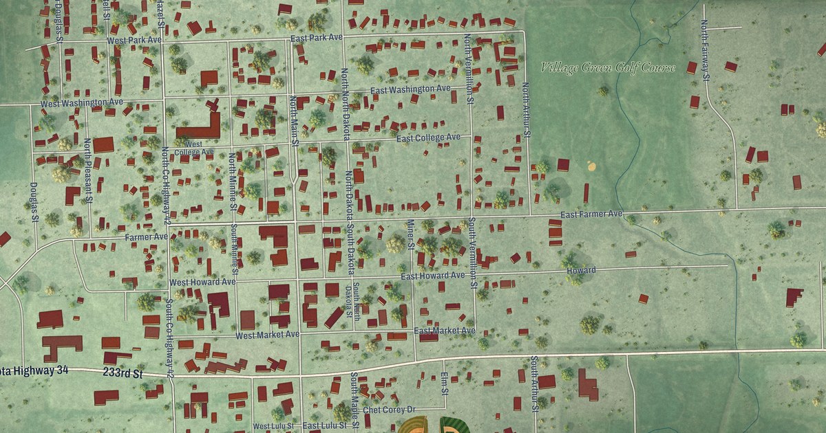
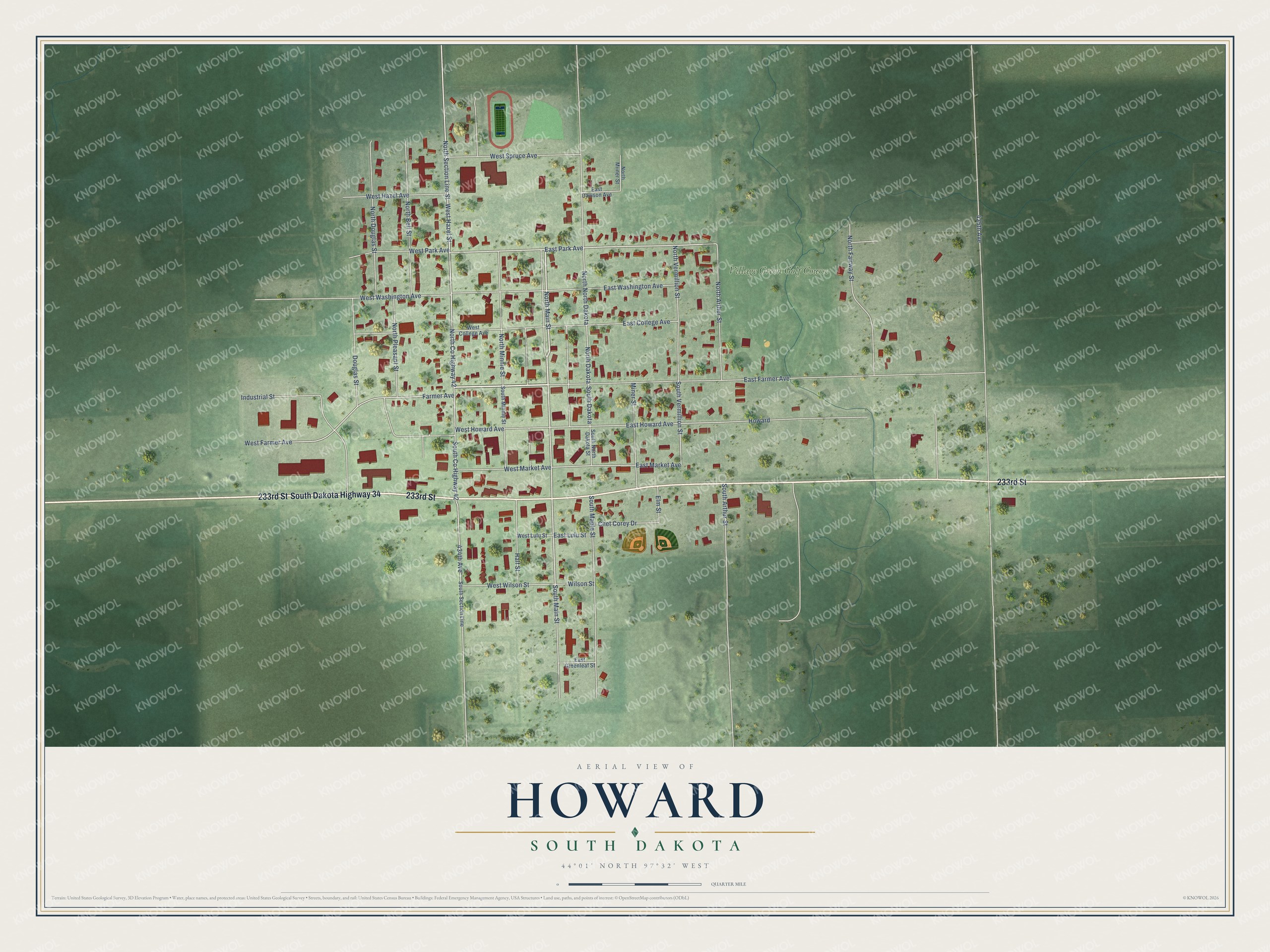
This beautifully detailed map of Howard, South Dakota was created in 2026 using aerial imagery combined with modern topographical, census, street and landmark data. It's a modern aerial view of Howard in Miner County, South Dakota, that combines modern data with a vintage aesthetic. The roads feature printed names, and if you look closely you can find your exact house accurately shown in its correct location.
Explore an aerial view of Howard, South Dakota
On this map you'll find Village Green Golf Course, 233rd Street, South Dakota Highway 34, Farmer Avenue, West Farmer Avenue, North Main Street, West Hazel Street, South Main Street, West Park Avenue, East Park Avenue, West Howard Avenue, East Market Avenue, and more. Each red shape is a building, so zoom in on the preview and look for yours.
Here is a piece of Howard history, in the words of the record. The National Park Service puts it this way: "For many years, the Wheeler Hotel also became a community center for activities such as dances."
Howard is a city in Miner County. The Census Bureau counted 848 people here in 2020.
Take a closer look at the Howard map
Names on this map
These names are printed on this map.
Places: Village Green Golf Course.
Streets and roads: 233rd Street, South Dakota Highway 34, Farmer Avenue, West Farmer Avenue, North Main Street, West Hazel Street, South Main Street, West Park Avenue, East Park Avenue, West Howard Avenue, East Market Avenue, South Vermillion Street.
More street names, A to Z
434th Avenue, 435th Avenue, Chet Corey Drive, Douglas Street, East College Avenue, East Davison Avenue, East Farmer Avenue, East Greenleaf Street, East Howard Avenue, East Lulu Street, East Washington Avenue, Elm Street, Half Street, Howard, Industrial Street, Miner Street, North Arthur Street, North Bell Street, North County Highway 42, North Dakota, North Douglas Street, North Fairway Street, North Miiner Street, North Minnie Street, North North Dakota, North Pleasant Street, North Section Line Street, North Vermillion Street, South Arthur Street, South County Highway 42, South Dakota, South Maple Street, South Minnie Street, South North Dakota Street, South Section Line, West College Avenue, West Hazel Avenue, West Lulu Street, West Market Avenue, West Spruce Avenue, West Washington Avenue, West Wilson Street, Wilson Street.
Created by KNOWOL in 2026. The buildings are small red shapes, the roads carry their printed names, and shaded relief shows the shape of the land. The title panel reads "AERIAL VIEW OF HOWARD SOUTH DAKOTA" with 44°01' NORTH 97°32' WEST.
It suits a den, a classroom or a front hall, and it makes a gift for anyone with Howard roots. Open the preview and find the block you know. See sizes and frames for the Howard map.