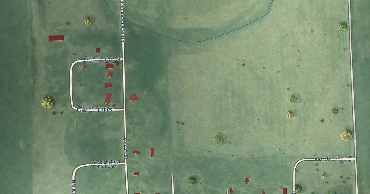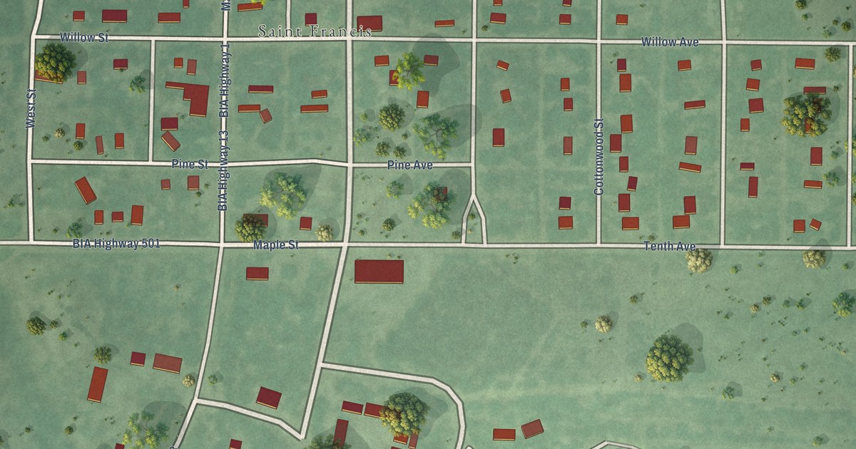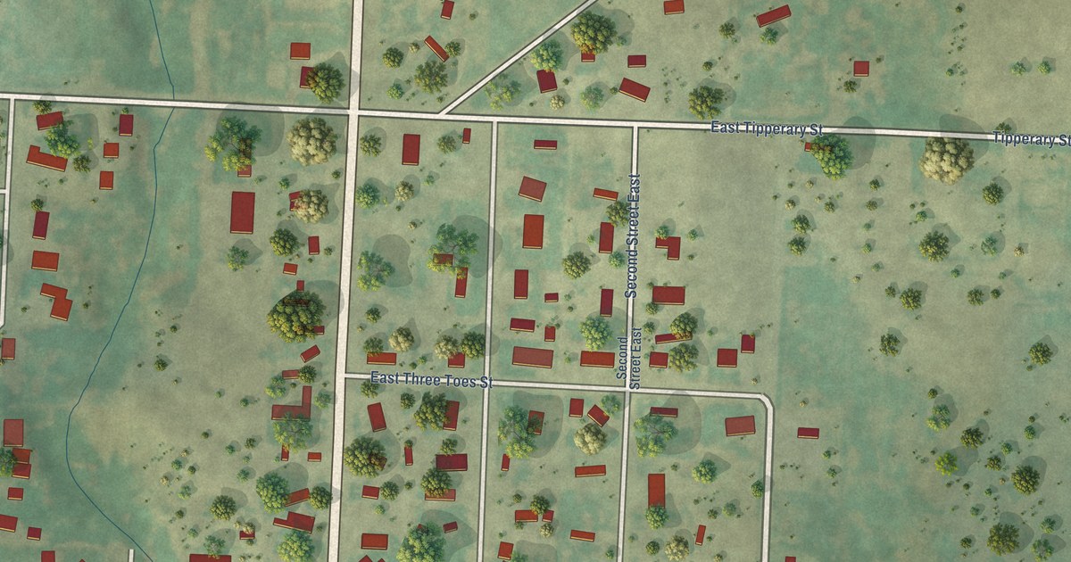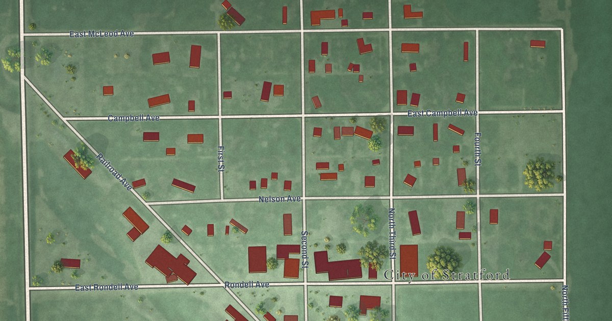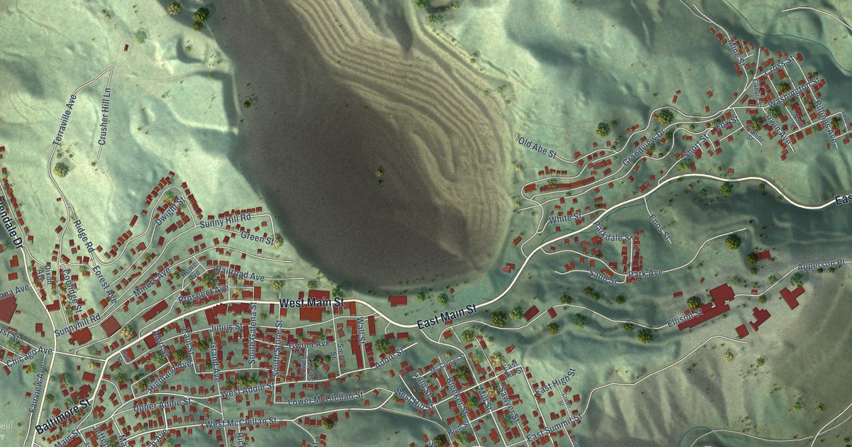
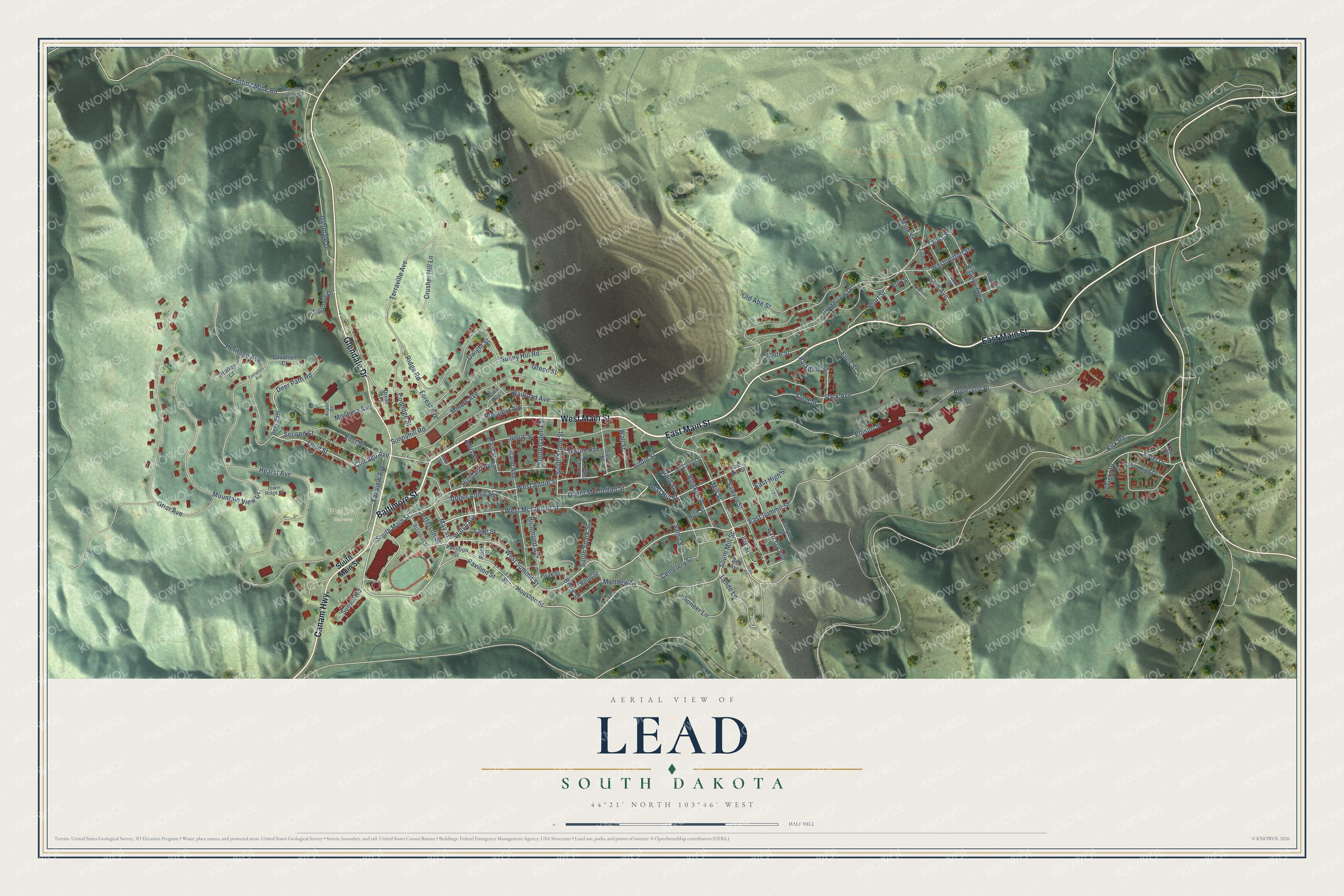
This beautifully detailed map of Lead, South Dakota was created in 2026 using aerial imagery combined with modern topographical, census, street and landmark data. It's a modern aerial view of Lead in Lawrence County, South Dakota, that combines modern data with a vintage aesthetic. The roads feature printed names, and if you look closely you can find your exact house accurately shown in its correct location.
Explore an aerial view of Lead, South Dakota
On this map you'll find West Lead Cemetery, West Main Street, Baltimore Street, East Main Street, Glendale Drive, Canam Highway, Addie Street, Chicago Avenue, South Main Street, West Summit Street, Mill Street, Third Street, and more. Each red shape is a building, so zoom in on the preview and look for yours.
Every town has a first chapter, and Lead is no exception. The Federal Writers Project puts it this way: "The first meeting of miners to organize Lead City was held July 26, 1876."
Lead is a city in Lawrence County. The Census Bureau counted 2,982 people here in 2020.
Take a closer look at the Lead map
Names on this map
These names are printed on this map.
Places: West Lead Cemetery.
Streets and roads: West Main Street, Baltimore Street, East Main Street, Glendale Drive, Canam Highway, Addie Street, Chicago Avenue, South Main Street, West Summit Street, Mill Street, Third Street, West McClellan Street.
More street names, A to Z
Alert Street, Apperson Place, Arlington Street, Aspen Drive, Barclay Avenue, Bell Avenue, Berry Street, Billings Avenue, Blatt Street, Bleeker Street, Canyon Street, Cemetery Street, Coolidge Street, Cross Street, Crown Street, Crusher Hill Lane, Cutting Mine Road, Cyanide Street, Davidson Court, Deer Path, Deer Path Road, Dixon Avenue, Dunmire Drive, Dwight Street, East High Street, East Hill Street, East Summit Street, Eleventh Street, Elkhorn Street, Ellison Street, Enos Street, Evolution Avenue, Fairview Avenue, First Street, Forest Avenue, Fox Street, Gold Street, Grand Avenue, Grandview Drive, Green Street, Grier Avenue, Gwinn Avenue, Harley Court, Hearst Avenue, Heritage Avenue, Highland Avenue, High Street, Houston Street, Iris Street, Irwin Avenue, Jefferson Street, Julius Street, Kirk Road, Lagg Street, Lande Lane, Lee Street, Lower McClellan Street, Lower Spark Street, Matthew Street, May Street, Mc Clellan Street, Mile High Drive, Miners Avenue, Mine Street, Montana Avenue, Mountain View Drive, North Street, Old Abe Street, Park Avenue, Parkdale Street, Paul Street, Pavilion Street, Pavillion Street, Peak Street, Pioneer Lane, Prospect Avenue, Railroad Avenue, Reilly Street, Richmond Avenue, Ridge Road, Rock Street, Ross Road, Rowe Avenue, Samo Street, Sand Street, Sawyer Street, Second Street, Short Street, Siever Street, South Galena Street, South Mill Street, South Spark Street, South Stone Street, Sunny Hill Road, Sunnyhill Road, Sunset Road, Teer Drive, Terraville Avenue, Tower Ridge Drive, Transfer Station Road, Upper Addie Street, Voight Drive, Voigt Drive, Wall Street, Walsh Avenue, Washington Street, West Addie Street, West Hill Street, White Street.
Created by KNOWOL in 2026. The buildings are small red shapes, the roads carry their printed names, and shaded relief shows the shape of the land. The title panel reads "AERIAL VIEW OF LEAD SOUTH DAKOTA" with 44°21' NORTH 103°46' WEST.
Hang it in the hallway, the office or the cabin, or give it to someone who left Lead and still calls it home. Open the preview and look for a street you know. See sizes and frames for the Lead map.