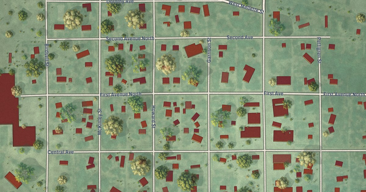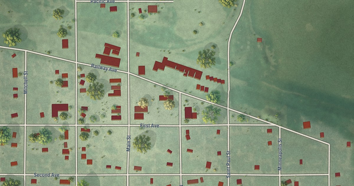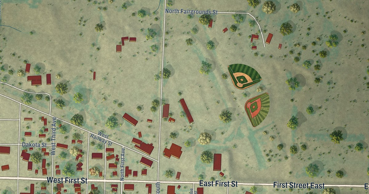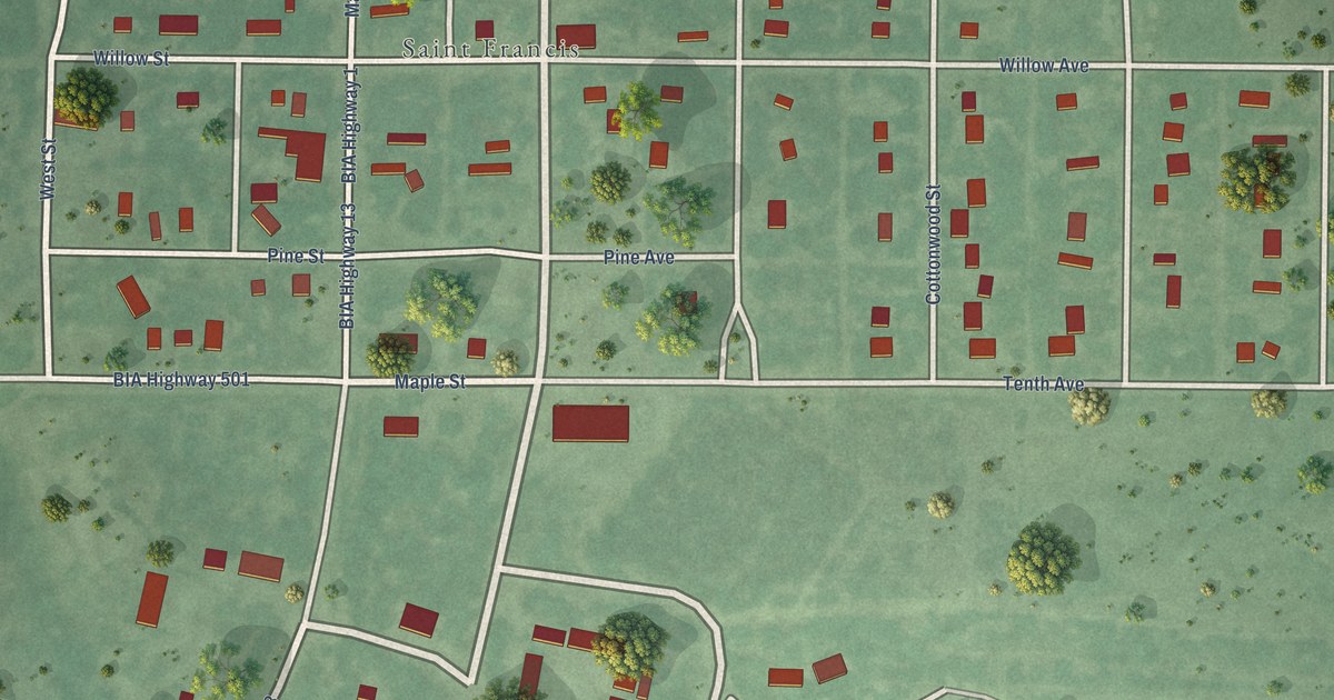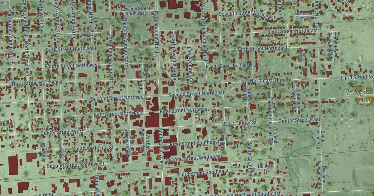
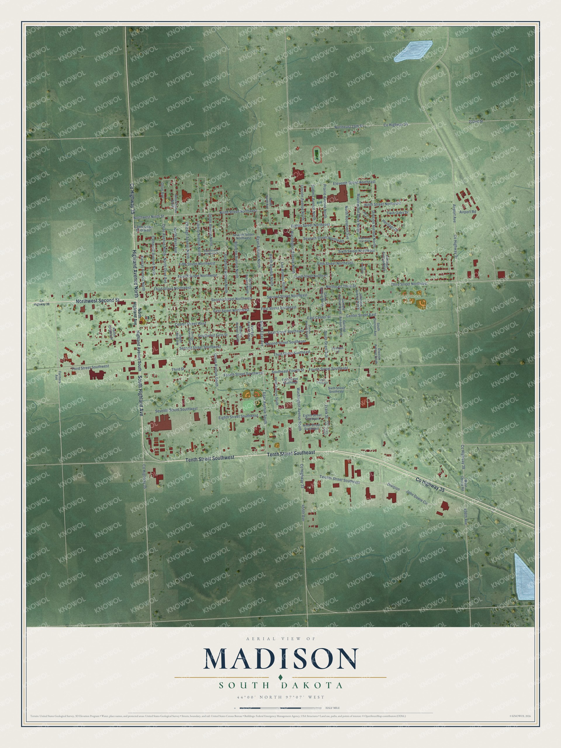
This beautifully detailed map of Madison, South Dakota was created in 2026 using aerial imagery combined with modern topographical, census, street and landmark data. It's a modern aerial view of Madison in Lake County, South Dakota, that combines modern data with a vintage aesthetic. The roads feature printed names, and if you look closely you can find your exact house accurately shown in its correct location.
Explore an aerial view of Madison, South Dakota
On this map you'll find Baughman Park, Co Highway 35, South Highland Avenue, Tenth Street Southwest, Tenth Street Southeast, Highland Avenue North, Northwest Second Street, Second Street Northwest, Second Street Northeast, Third Street, Third Street Northeast, Egan Avenue South, and more. Each red shape is a building, so zoom in on the preview and look for yours.
Every town has a first chapter, and Madison is no exception. The Federal Writers' Project puts it this way: "Madison and Herman competed for the county seat, but a compromise was effected and both villages moved to a halfway point, merging and taking the name of Madison."
Madison is a city in Lake County. The Census Bureau counted 6,191 people here in 2020.
Take a closer look at the Madison map
Names on this map
These names are printed on this map.
Places: Baughman Park.
Streets and roads: County Highway 35, South Highland Avenue, Tenth Street Southwest, Tenth Street Southeast, Highland Avenue North, Northwest Second Street, Second Street Northwest, Second Street Northeast, Third Street, Third Street Northeast, Egan Avenue South, South Egan Avenue.
More street names, A to Z
232nd Street, 455th Avenue, 456th Avenue, Airport Avenue, Airport Road, Antelope Avenue North, Ashmont Road, Blanche Avenue North, Blanche Avenue South, Catherine Avenue North, Center Street East, Center Street West, Chicago Avenue North, Chicago Avenue South, County Highway 31, County Highway 33, County Highway 34, County Highway 36, County Highway 38, Division, Division Avenue North, Division Avenue South, East Center Street, Egan Avenue North, Eighth Street Northeast, Eighth Street Northwest, Eighth Street Southeast, Eighth Street Southwest, Eleventh Street Northeast, Farmers Avenue, Fifth Street Northeast, Fifth Street Northwest, Fifth Street Southeast, First Street Northeast, First Street Northwest, First Street Southeast, Fourth Street Northeast, Fourth Street Northwest, Fourth Street Southeast, Fourth Street Southwest, Frank Street, Garfield Avenue North, Garfield Avenue South, Grant Avenue, Grant Avenue North, Harth Avenue North, Harth Avenue South, Heilman Lane, Heritage Drive, Highland Avenue South, Jefferson Avenue North, Jennifer Street, John Deere Circle, Josephine Avenue North, Kansas Avenue North, Laura Lee Court, Lee Avenue North, Liberty Avenue North, Lincoln Avenue North, Lincoln Avenue South, Maplewood Drive East, Maplewood Drive North, Ninth Street Northeast, Ninth Street Northwest, Ninth Street Southeast, Northeast 15th Street, Northeast Third Street, North Harth Avenue, North Highland Avenue, North Olive Avenue, North Roosevelt Avenue, North West Avenue, Northwest Ninth Street, Olive Avenue, Olive Avenue North, Prairie Avenue North, Ramm Heights Drive, Second Street Southeast, Second Street Southwest, Seventh Street Northeast, Seventh Street Northwest, Seventh Street Southwest, Silver Creek Circle, Sixth Street Northeast, Sixth Street Northwest, Sixth Street Southeast, South Division Avenue, Southeast Fourth Street, South Grant Avenue, South West Avenue, Southwest First Street, Summit Avenue North, Third Street Northwest, Third Street Southeast, Third Street Southwest, Twelfth Street Southeast, Twin Oaks Drive, Union Avenue North, Union Avenue South, Van Eps Avenue North, Van Eps Avenue South, Washington Avenue North, Washington Avenue South, West Avenue North, West County Road.
Created by KNOWOL in 2026. The buildings are small red shapes, the roads carry their printed names, and shaded relief shows the shape of the land. The title panel reads "AERIAL VIEW OF MADISON, SOUTH DAKOTA" with 44°00' NORTH 97°07' WEST.
Hang it in the hallway, the office or the cabin, or give it to someone who left Madison and still calls it home. Open the preview and look for a street you know. See sizes and frames for the Madison map.