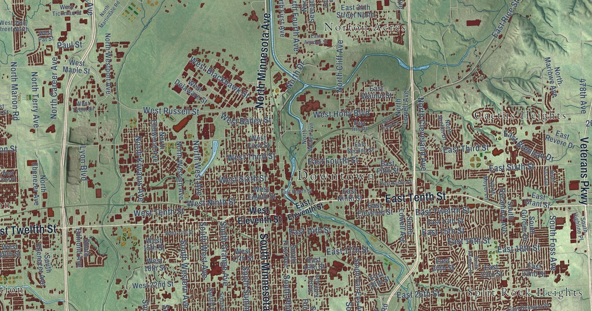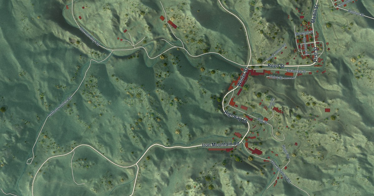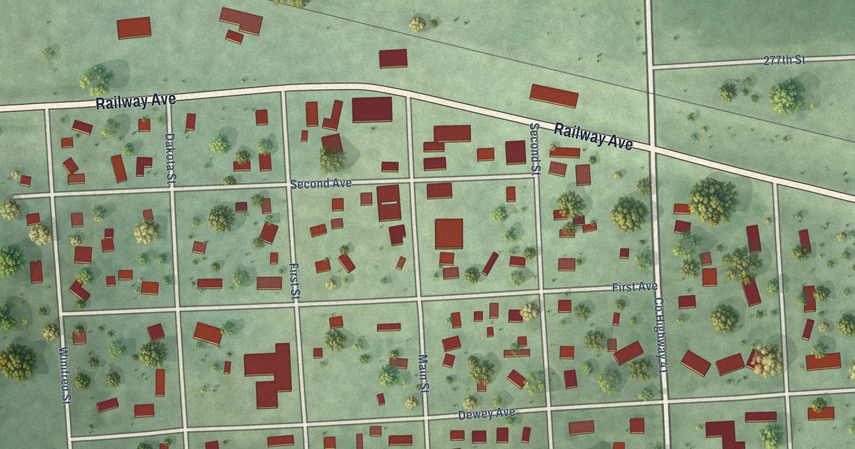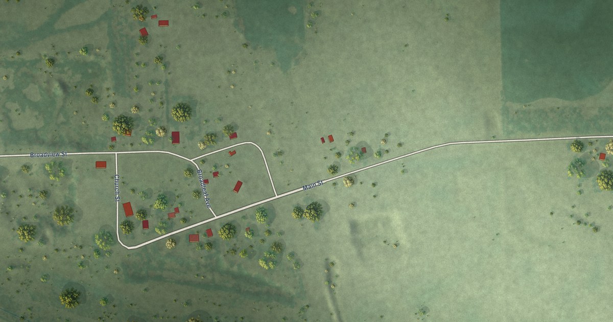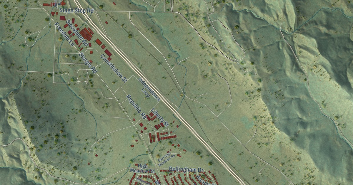
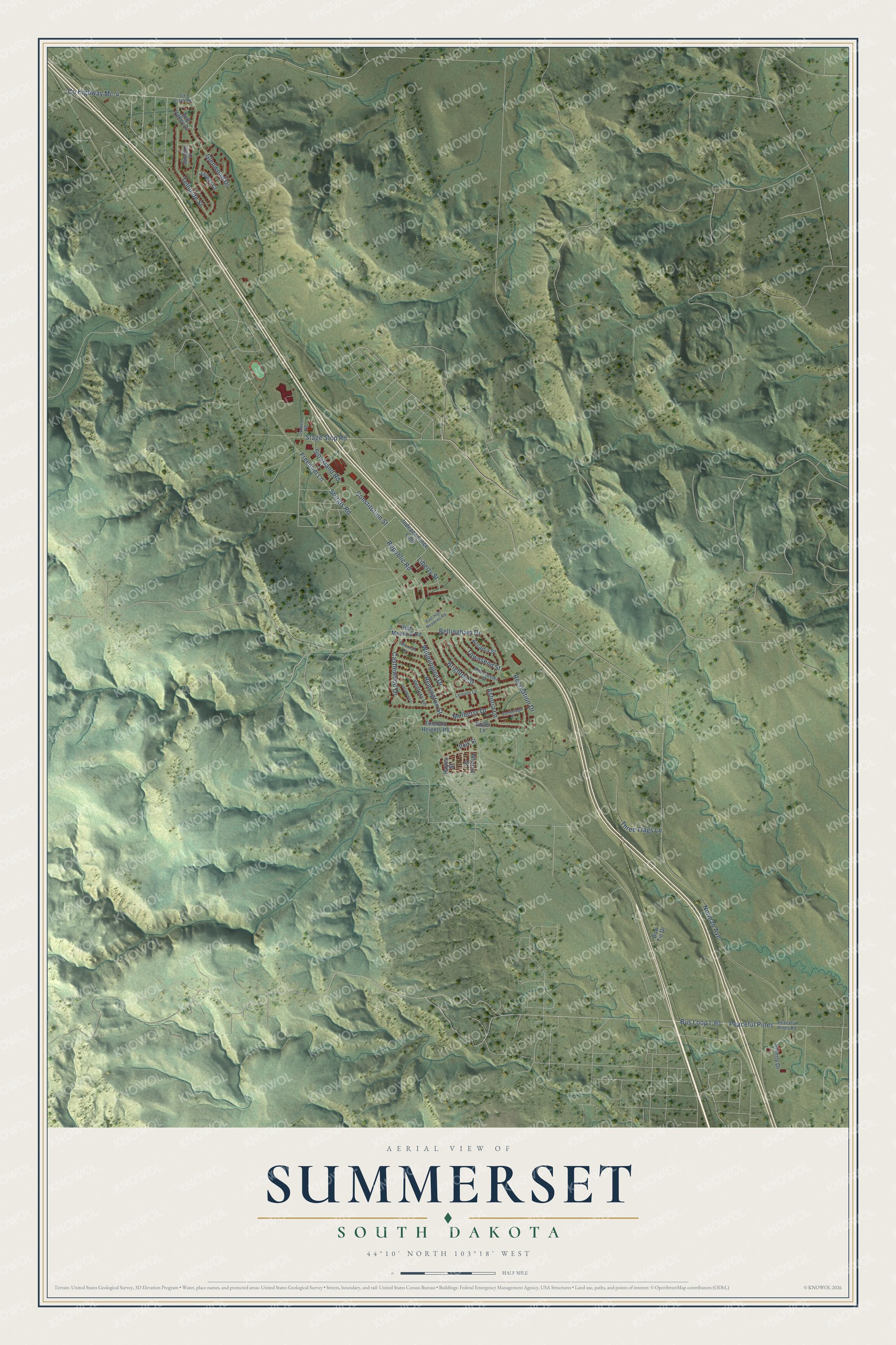
This beautifully detailed map of Summerset, South Dakota was created in 2026 using aerial imagery combined with modern topographical, census, street and landmark data. It's a modern aerial view of Summerset in Meade County, South Dakota, that combines modern data with a vintage aesthetic. The roads feature printed names, and if you look closely you can find your exact house accurately shown in its correct location.
Explore an aerial view of Summerset, South Dakota
On this map you'll find Bus Loop I-90, Peaceful Pines, Castlewood Drive, Willmington Drive, Co Highway Mc-4, Sturgis Road, Norman Avenue, Freedom Lane, Bellingham Drive, Glenwood Drive, Telluride Street, Three Flags Lane, and more. Each red shape is a building, so zoom in on the preview and look for yours.
Every town has a first chapter, and Summerset is no exception. The City of Summerset puts it this way: "Summerset began as the Summerset and Sun Valley Subdivisions. Incorporated in July 2005, Summerset has a small-town atmosphere and is one of the best places to raise a family."
Summerset is a city in Meade County. The Census Bureau counted 2,972 people here in 2020.
Take a closer look at the Summerset map
Names on this map
These names are printed on this map.
Streets and roads: Bus Loop I-90, Peaceful Pines, Castlewood Drive, Willmington Drive, County Highway Mc-4, Sturgis Road, Norman Avenue, Freedom Lane, Bellingham Drive, Glenwood Drive, Telluride Street, Three Flags Lane.
More street names, A to Z
Arcadia Street, Astoria Lane, Bow Tie Drive, Brighton Street, Cambridge Place, Constitution Street, Dover Lane, East High Meadows Road, Elk Creek Road, Emerald Heights Road, Filmore Street, Hayes Street, High Meadow Road, Independence Loop, Infinity Drive, Jasper Court, Jenter Road, Laramie Lane, Leisure Lane, Liberty Street, Manchester Street, Mulberry Drive, Peaceful Pines Road, Polk Street, Recreation Drive, Remington Street, Republic Road, Savannah Lane, Siouxland Road, Stage Stop Road, Sun Valley Drive, Townsend Street, Ventura Lane, Whistler Court.
See it on a wall
The Summerset map as a framed print. Swipe for more.


Created by KNOWOL in 2026. The buildings are small red shapes, the roads carry their printed names, and shaded relief shows the shape of the land. The title panel reads "AERIAL VIEW OF SUMMERSET SOUTH DAKOTA" with 44°10' NORTH 103°18' WEST.
Hang it in the hallway, the office or the cabin, or give it to someone who left Summerset and still calls it home. Open the preview and look for a street you know. See sizes and frames for the Summerset map.